Filters: Tags: Prague, OK (X)
5 results (44ms)|
Filters
Date Range
Contacts
Tag Types Tag Schemes
|
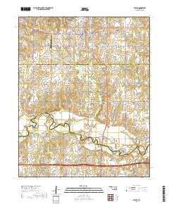
Layered geospatial PDF 7.5 Minute Quadrangle Map. Layers of geospatial data include orthoimagery, roads, grids, geographic names, elevation contours, hydrography, and other selected map features. This map is derived from GIS (geospatial information system) data. It represents a repackaging of GIS data in traditional map form, not creation of new information. The geospatial data in this map are from selected National Map data holdings and other government sources.
The dataset contains the catalog of 5446 events and arrival times resulting from subspace detection processing and relocation in the for the 2011 Prague, Oklahoma, aftershock sequence. Lines beginning with "E" contain event information in the following order: event ID, origin year, origin month, origin day, origin hour, origin minute, origin second, latitude, longitude, depth, and magnitude. Lines beginning with "P" contain phase information in the following order: event ID, network, station, phase, phase arrival year, phase arrival month, phase arrival day, phase arrival hour, phase arrival minute, phase arrival second.
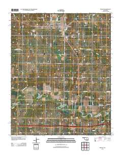
Layered GeoPDF 7.5 Minute Quadrangle Map. Layers of geospatial data include orthoimagery, roads, grids, geographic names, elevation contours, hydrography, and other selected map features.
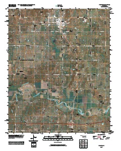
Layered GeoPFD 7.5 Minute Quadrangle Map. Layers of geospatial data include orthoimagery, roads, grids, geographic names, elevation contours, hydrography, and other selected map features.
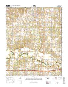
Layered GeoPDF 7.5 Minute Quadrangle Map. Layers of geospatial data include orthoimagery, roads, grids, geographic names, elevation contours, hydrography, and other selected map features.
|

|
