Filters: Tags: Preliminary (X) > Date Range: {"choice":"year"} (X)
6 results (84ms)|
Filters
Date Types (for Date Range)
Tag Types Tag Schemes |
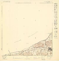
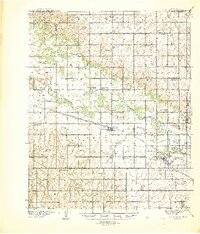
USGS Historical Quadrangle in GeoPDF.
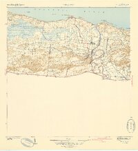
USGS Historical Quadrangle in GeoPDF.
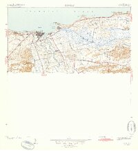
USGS Historical Quadrangle in GeoPDF.
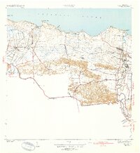
USGS Historical Quadrangle in GeoPDF.
USGS Historical Quadrangle in GeoPDF.

USGS Historical Quadrangle in GeoPDF.
|

|
