Filters: Tags: Presque Isle, ME (X)
4 results (115ms)|
Filters
Date Range
Contacts
Categories Tag Types Tag Schemes |
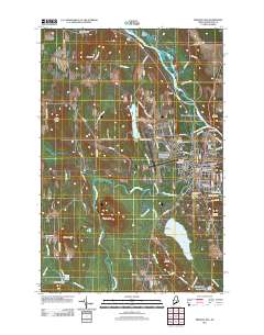
Layered GeoPDF 7.5 Minute Quadrangle Map. Layers of geospatial data include orthoimagery, roads, grids, geographic names, elevation contours, hydrography, and other selected map features.
The dataset presented here represents the concentrations and stable isotopic composition of gaseous mercury (Hg) for 31 sites across the United States. This national-scale monitoring effort was performed by the National Atmospheric Deposition Program (NADP) and the USGS over a two-year period (March 2016 - May 2018). The network includes a highly diverse set of sites ranging from remote (e.g. Denali National Park, AK and Mauna Loa, HI) to highly urbanized (e.g. Bronx, NY and Boston, MA). Air samples were collected using a custom designed bulk air sampler, in which air was pumped at approximately 1 L/min through particulate and soda lime filters prior to passing through two quartz tubes containing gold coated glass...
Categories: Data;
Tags: Bad River, WI,
Boston, MA,
Bronx, NY,
Clifty Falls State Park, IN,
Consumnes River, CA,
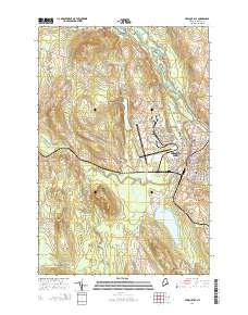
Layered GeoPDF 7.5 Minute Quadrangle Map. Layers of geospatial data include orthoimagery, roads, grids, geographic names, elevation contours, hydrography, and other selected map features.
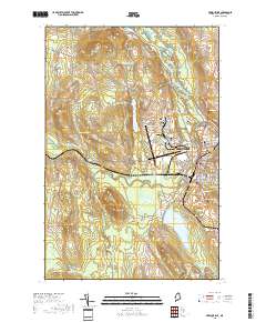
Layered geospatial PDF 7.5 Minute Quadrangle Map. Layers of geospatial data include orthoimagery, roads, grids, geographic names, elevation contours, hydrography, and other selected map features. This map is derived from GIS (geospatial information system) data. It represents a repackaging of GIS data in traditional map form, not creation of new information. The geospatial data in this map are from selected National Map data holdings and other government sources.
|

|
