Filters: Tags: Puu Oo (X)
4 results (74ms)|
Filters
Date Range
Types Contacts Tag Types Tag Schemes |
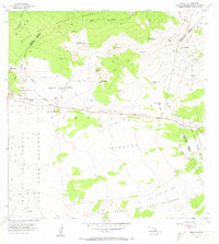
USGS Historical Quadrangle in GeoPDF.
This dataset contains shapefiles and associated metadata for Kīlauea volcano's Pu‘u ‘Ō‘ō episode 61g lava flow from May 24, 2016 through May 31, 2017. Episode 61g began with a breakout from the east flank of Pu‘u ‘Ō‘ō on May 24, 2016. Lava reached the Pacific Ocean at Kamokuna on July 26, 2017, and began building a lava delta that extended seaward from the original coastline. This lava delta collapsed into the ocean on December 31, 2016, as reflected in the data for January 12, 2017 and thereafter. The episode 61g lava flow continues as of May 31, 2017, the date of the last mapping to contribute to this dataset. One mapping date is included for each calendar month - usually late in the month - from May 2016 through...
Types: Map Service,
OGC WFS Layer,
OGC WMS Layer,
OGC WMS Service;
Tags: Episode 61g,
Hawai'i,
Hawai'i,
Hawaii,
Hawaii,
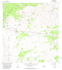
USGS Historical Quadrangle in GeoPDF.
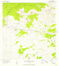
USGS Historical Quadrangle in GeoPDF.
|

|
