Filters: Tags: Quebec (X)
167 results (53ms)|
Filters
Date Range
Extensions Types
Contacts
Categories Tag Types
|

This dataset contains Canada's national forest inventory (CanFI) 2001 data for plots within the boreal region of the province of Quebec, Canada. The attribute displayed is percent forested. Refer to the "attributes" tab to view other attributes contained in this dataset. For more information, refer to the CanFI 2001 document at: http://dsp-psd.pwgsc.gc.ca/collection_2007/nrcan-rncan/Fo143-2-408E.pdf From CanFI: Canada's existing national forest inventory (CanFI) is compiled about every five years by aggregating provincial and territorial forest management inventories and reconnaissance level information. Stand-level data provided by the provincial and territorial management agencies are converted to a national...
The traditional method of identifying wildlife habitat distribution over large regions consists of pixel-based classification of satellite images into a suite of habitat classes used to select suitable habitat patches. Object-based classification is a new method that can achieve the same objective based on the segmentation of spectral bands of the image creating homogeneous polygons with regard to spatial or spectral characteristics. The segmentation algorithm does not solely rely on the single pixel value, but also on shape, texture, and pixel spatial continuity. The object-based classification is a knowledge base process where an interpretation key is developed using ground control points and objects are assigned...
Categories: Publication;
Types: Citation,
Journal Citation;
Tags: Ammodramus savannarum,
Environmental Management,
Grasshopper Sparrow,
Object-based classification,
Pixel-based classification,

A nationally compiled dataset containing provincial Forest Tenures/Forest Management Areas and other administrative areas where rights to establish, grow, harvest or remove timber from a particular area of land has been granted. Each province has different boundary definitions and/or harvesting practices which prevents this dataset from having a standard defined tenure unit for all of Canada (See data sources in metadata). British Columbia was the only province where tenure boundaries had to be complied from several different sources in order to have a definable tenure unit comparable to other provinces (see NOTES in metadata).
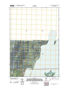
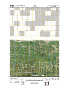
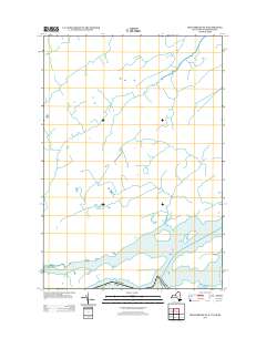
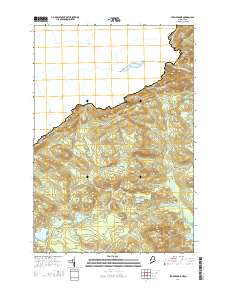
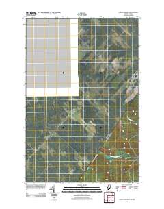
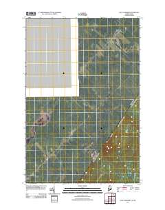
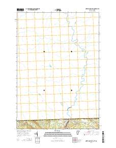
Layered GeoPDF 7.5 Minute Quadrangle Map. Layers of geospatial data include orthoimagery, roads, grids, geographic names, elevation contours, hydrography, and other selected map features.
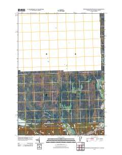
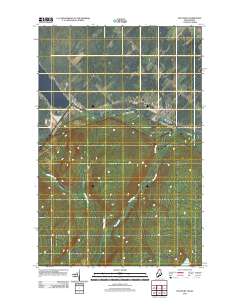
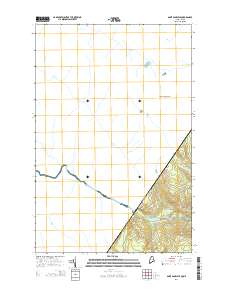
Layered GeoPDF 7.5 Minute Quadrangle Map. Layers of geospatial data include orthoimagery, roads, grids, geographic names, elevation contours, hydrography, and other selected map features.
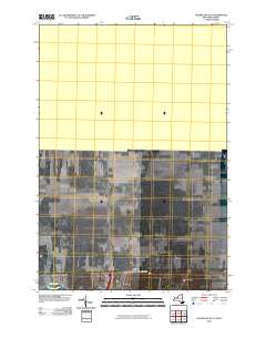
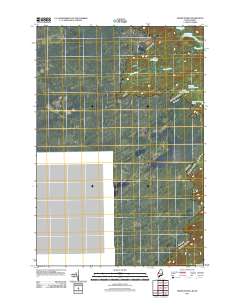
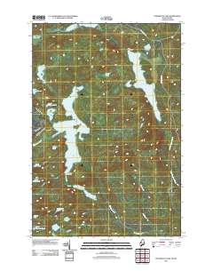
Layered GeoPDF 7.5 Minute Quadrangle Map. Layers of geospatial data include orthoimagery, roads, grids, geographic names, elevation contours, hydrography, and other selected map features.
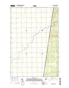
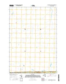
Layered GeoPDF 7.5 Minute Quadrangle Map. Layers of geospatial data include orthoimagery, roads, grids, geographic names, elevation contours, hydrography, and other selected map features.
Layered GeoPDF 7.5 Minute Quadrangle Map. Layers of geospatial data include orthoimagery, roads, grids, geographic names, elevation contours, hydrography, and other selected map features.
Layered GeoPDF 7.5 Minute Quadrangle Map. Layers of geospatial data include orthoimagery, roads, grids, geographic names, elevation contours, hydrography, and other selected map features.
Layered GeoPDF 7.5 Minute Quadrangle Map. Layers of geospatial data include orthoimagery, roads, grids, geographic names, elevation contours, hydrography, and other selected map features.
Layered GeoPDF 7.5 Minute Quadrangle Map. Layers of geospatial data include orthoimagery, roads, grids, geographic names, elevation contours, hydrography, and other selected map features.
Layered GeoPDF 7.5 Minute Quadrangle Map. Layers of geospatial data include orthoimagery, roads, grids, geographic names, elevation contours, hydrography, and other selected map features.
Layered GeoPDF 7.5 Minute Quadrangle Map. Layers of geospatial data include orthoimagery, roads, grids, geographic names, elevation contours, hydrography, and other selected map features.
Layered GeoPDF 7.5 Minute Quadrangle Map. Layers of geospatial data include orthoimagery, roads, grids, geographic names, elevation contours, hydrography, and other selected map features.
Layered geospatial PDF Map. Layers of geospatial data include orthoimagery, roads, grids, geographic names, elevation contours, hydrography, and other selected map features.
Layered GeoPDF 7.5 Minute Quadrangle Map. Layers of geospatial data include orthoimagery, roads, grids, geographic names, elevation contours, hydrography, and other selected map features.
Layered GeoPDF 7.5 Minute Quadrangle Map. Layers of geospatial data include orthoimagery, roads, grids, geographic names, elevation contours, hydrography, and other selected map features.
Layered GeoPDF 7.5 Minute Quadrangle Map. Layers of geospatial data include orthoimagery, roads, grids, geographic names, elevation contours, hydrography, and other selected map features.
Synopsis: Using multi-scale seasonal models, this study explored how broad scale landscape context and local resource heterogeneity influenced local resource selection among threatened forest-dwelling woodland caribou in southern Quebec. Caribou consistently avoided roads, however researchers identified thresholds in road proximity effects. The threshold distance at which caribou avoid roads is 1.25 km for active roads and 0.75 km from derelict roads. Open lichen woodlands were an important cover type for caribou during winter and spring, whereas deciduous forests, wetlands, and even young disturbed stands became important during calving and summer. Landscape cover type and amount explained more variation in habitat...
Categories: Publication;
Types: Citation,
Map Service,
OGC WFS Layer,
OGC WMS Layer,
OGC WMS Service;
Tags: Caribou,
Forest-dwelling woodland cairbou,
Land use configuration,
Landscape context,
Landscape fragmentation,
The datatset is a compilation of all permanent (legally established) protected areas in Quebec, Canada.
|

|
