Filters: Tags: Queens County (X) > Date Range: {"choice":"year"} (X)
32 results (59ms)|
Filters
Date Types (for Date Range)
Types
Contacts
Categories Tag Types Tag Schemes |
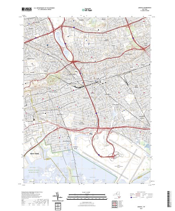
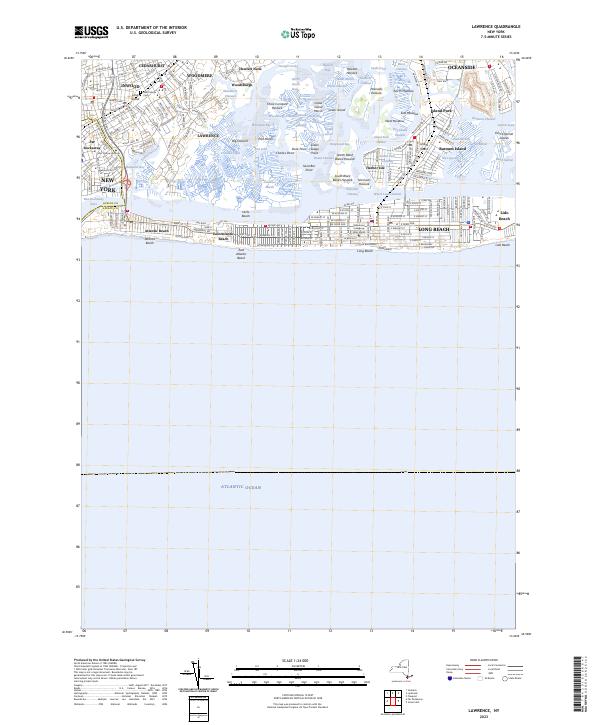
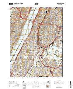
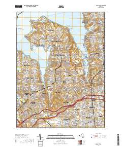
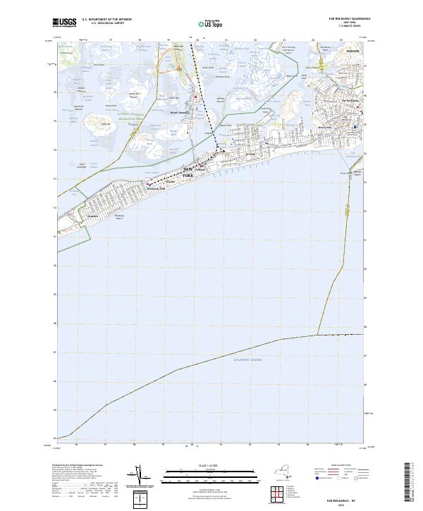
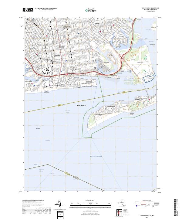
Layered geospatial PDF 7.5 Minute Quadrangle Map. Layers of geospatial data include orthoimagery, roads, grids, geographic names, elevation contours, hydrography, and other selected map features. This map is derived from GIS (geospatial information system) data. It represents a repackaging of GIS data in traditional map form, not creation of new information. The geospatial data in this map are from selected National Map data holdings and other government sources.
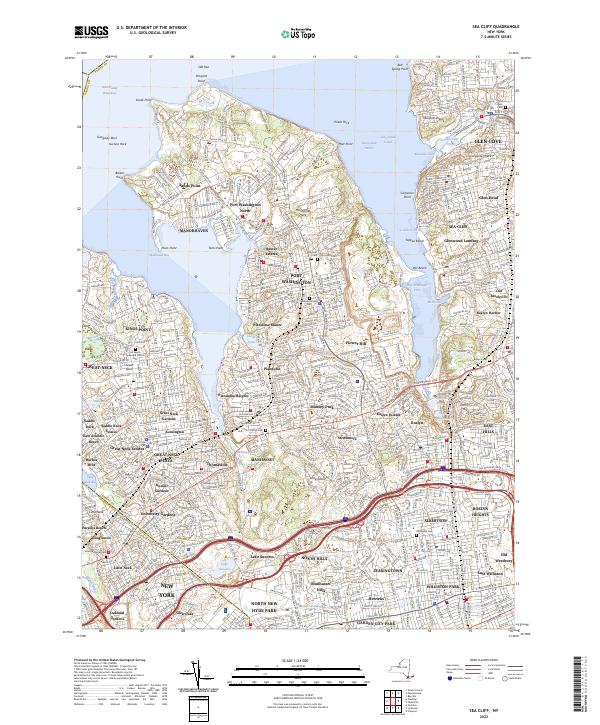
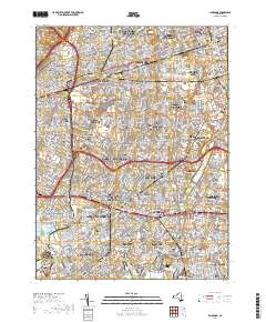
Layered geospatial PDF 7.5 Minute Quadrangle Map. Layers of geospatial data include orthoimagery, roads, grids, geographic names, elevation contours, hydrography, and other selected map features. This map is derived from GIS (geospatial information system) data. It represents a repackaging of GIS data in traditional map form, not creation of new information. The geospatial data in this map are from selected National Map data holdings and other government sources.
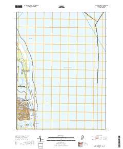
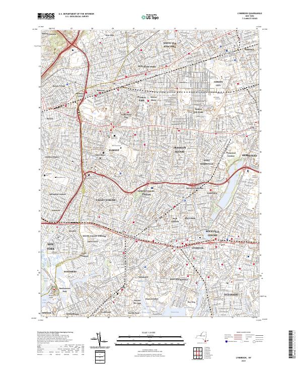
Layered geospatial PDF 7.5 Minute Quadrangle Map. Layers of geospatial data include orthoimagery, roads, grids, geographic names, elevation contours, hydrography, and other selected map features. This map is derived from GIS (geospatial information system) data. It represents a repackaging of GIS data in traditional map form, not creation of new information. The geospatial data in this map are from selected National Map data holdings and other government sources.
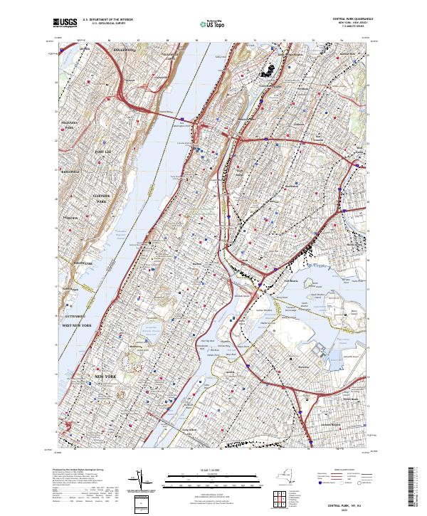
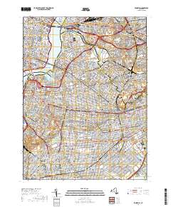
Layered geospatial PDF 7.5 Minute Quadrangle Map. Layers of geospatial data include orthoimagery, roads, grids, geographic names, elevation contours, hydrography, and other selected map features. This map is derived from GIS (geospatial information system) data. It represents a repackaging of GIS data in traditional map form, not creation of new information. The geospatial data in this map are from selected National Map data holdings and other government sources.
Layered geospatial PDF 7.5 Minute Quadrangle Map. Layers of geospatial data include orthoimagery, roads, grids, geographic names, elevation contours, hydrography, and other selected map features. This map is derived from GIS (geospatial information system) data. It represents a repackaging of GIS data in traditional map form, not creation of new information. The geospatial data in this map are from selected National Map data holdings and other government sources.
This data release contains model simulation results of a particle tracking analysis to delineate areas that provide recharge to surface waters and public-supply wells on Long Island, NY. The analysis partitions the recharge areas based on particle travel times of greater than or less than 10 years to reach the receiving surface water or well. The simulation was performed using a regional-scale numerical model of the Long Island aquifer system (Walter and others, 2020a and 2020b) for average 2005-2015 conditions. The model implements MODFLOW-NWT (Niswonger and others, 2011) to represent steady-state groundwater pumping and aquifer recharge conditions; recharge areas were identified and partitioned using the particle-tracking...

A previously developed three-dimensional steady-state groundwater flow model (https://doi.org/10.3133/sir20205091) is used to assist resource managers and planners in developing informed strategies to address nitrogen loading to coastal water bodies of Long Island, New York. Coastal water bodies of Long Island are important economic and recreational resources for the region. Therefore, the U.S. Geological Survey and New York State Department of Environmental Conservation initiated a program to delineate a comprehensive dataset of CAs (or areas contributing groundwater), travel times, and groundwater discharges to streams, lakes, marine-surface waters, and subsea discharge boundaries. The 25-layer regional groundwater-flow...
Layered geospatial PDF 7.5 Minute Quadrangle Map. Layers of geospatial data include orthoimagery, roads, grids, geographic names, elevation contours, hydrography, and other selected map features. This map is derived from GIS (geospatial information system) data. It represents a repackaging of GIS data in traditional map form, not creation of new information. The geospatial data in this map are from selected National Map data holdings and other government sources.
This data release contains geospatial data defining estimates of the depth to water and water-table altitude in the upper glacial and Magothy Aquifers, the potentiometric surface of the confined Magothy and Jameco Aquifers, and the potentiometric surface of the Lloyd and North Shore Aquifers on Long Island, New York. Estimates are based on 502 water-level measurements made in wells across Long Island during March-April 2006. Water-table contours were interpolated using measurements from 341 wells screened in the upper glacial aquifer or shallow Magothy Aquifer. Potentiometric-surface contours in the confined Magothy and hydraulically connected Jameco Aquifer were interpolated using measurements from 102 wells. Potentiometric-surface...
This data release contains the input, output, and model code used to run a transient simulation of a previously published (Walter and others, 2020) steady-state regional model of Long Island, N.Y. The original model code was updated to MODFLOW 6 (version 6.3.0) and incorporates monthly transient stress periods to simulate conditions from 2005-2019 following methods described in Walter and others (2020). Selected remedial stresses (groundwater extraction and return) were incorporated for select locations in southeastern Nassau County. No modifications were made to the hydrologic boundaries, model layers, or hydraulic properties specified in the original model. A uniform value of 0.25 was used to represent specific...
Layered geospatial PDF 7.5 Minute Quadrangle Map. Layers of geospatial data include orthoimagery, roads, grids, geographic names, elevation contours, hydrography, and other selected map features. This map is derived from GIS (geospatial information system) data. It represents a repackaging of GIS data in traditional map form, not creation of new information. The geospatial data in this map are from selected National Map data holdings and other government sources.
Layered geospatial PDF 7.5 Minute Quadrangle Map. Layers of geospatial data include orthoimagery, roads, grids, geographic names, elevation contours, hydrography, and other selected map features. This map is derived from GIS (geospatial information system) data. It represents a repackaging of GIS data in traditional map form, not creation of new information. The geospatial data in this map are from selected National Map data holdings and other government sources.
This data release contains geospatial data defining estimates of the depth to water and water-table altitude in the upper glacial and Magothy Aquifers, the potentiometric surface of the confined Magothy and Jameco Aquifers, and the potentiometric surface of the Lloyd and North Shore Aquifers on Long Island, New York. Estimates are based on 502 water-level measurements made in wells across Long Island during April-May 2010. Water-table contours were interpolated using measurements from 349 wells screened in the upper glacial aquifer or shallow Magothy Aquifer. Potentiometric-surface contours in the confined Magothy and hydraulically connected Jameco Aquifer were interpolated using measurements from 94 wells. Potentiometric-surface...

In 2016, the United States Geological Survey (USGS) began development of a regional-scale numerical model of the Long Island aquifer system, as part of the National Water Quality Assessment (NAWQA) Program. The three-dimensional groundwater-flow model was developed to evaluate 1) responses of the hydrologic system to changes in natural and anthropogenic hydraulic stresses 2) the subsurface distribution of groundwater age, and 3) the regional-scale distribution of groundwater travel times and the source of water to fresh surface waters and coastal receiving waters. The model also provides the groundwater flow components used to define model boundaries for possible inset models used for local-scale analyses. Unconsolidated...
Layered geospatial PDF 7.5 Minute Quadrangle Map. Layers of geospatial data include orthoimagery, roads, grids, geographic names, elevation contours, hydrography, and other selected map features. This map is derived from GIS (geospatial information system) data. It represents a repackaging of GIS data in traditional map form, not creation of new information. The geospatial data in this map are from selected National Map data holdings and other government sources.
Using a combination of public and proprietary historical construction test borings, recent exploration drilling, USGS observation wells, outcrops, and seismic measurements, a series of geospatial overlays for bedrock elevation and overburden thickness were created for the Five Boroughs of New York City, New York. Rasters were interpolated from a point elevation data set and refined using published and interpretive bedrock contours, and interpreted glacial valleys and faults. Contours for bedrock elevation were generated at 100-ft contour intervals and smoothed. This data release includes shapefiles containing the input point elevation features and output contours, and rasters of interpolated bedrock elevation and...

The High Resolution National Hydrography Dataset Plus (NHDPlus HR) is an integrated set of geospatial data layers, including the National Hydrography Dataset (NHD), National Watershed Boundary Dataset (WBD), and 3D Elevation Program Digital Elevation Model (3DEP DEM). The NHDPlus HR combines the NHD, 3DEP DEMs, and WBD to a data suite that includes the NHD stream network with linear referencing functionality, the WBD hydrologic units, elevation-derived catchment areas for each stream segment, "value added attributes" (VAAs), and other features that enhance hydrologic data analysis and routing.
Layered geospatial PDF 7.5 Minute Quadrangle Map. Layers of geospatial data include orthoimagery, roads, grids, geographic names, elevation contours, hydrography, and other selected map features. This map is derived from GIS (geospatial information system) data. It represents a repackaging of GIS data in traditional map form, not creation of new information. The geospatial data in this map are from selected National Map data holdings and other government sources.
Layered geospatial PDF 7.5 Minute Quadrangle Map. Layers of geospatial data include orthoimagery, roads, grids, geographic names, elevation contours, hydrography, and other selected map features. This map is derived from GIS (geospatial information system) data. It represents a repackaging of GIS data in traditional map form, not creation of new information. The geospatial data in this map are from selected National Map data holdings and other government sources.
Layered geospatial PDF 7.5 Minute Quadrangle Map. Layers of geospatial data include orthoimagery, roads, grids, geographic names, elevation contours, hydrography, and other selected map features. This map is derived from GIS (geospatial information system) data. It represents a repackaging of GIS data in traditional map form, not creation of new information. The geospatial data in this map are from selected National Map data holdings and other government sources.
|

|
