Filters: Tags: Red Rover (X)
7 results (52ms)|
Filters
Date Range
Contacts Categories Tag Types Tag Schemes |
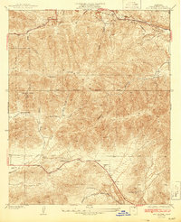
USGS Historical Quadrangle in GeoPDF.
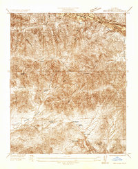
USGS Historical Quadrangle in GeoPDF.
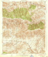
USGS Historical Quadrangle in GeoPDF.
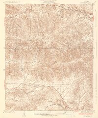
USGS Historical Quadrangle in GeoPDF.
ADMMR map collection: Red Rover Mining Co. Map Showing Undergound Workings; 1 in. to 50 feet; 16 x 25 in.
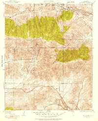
USGS Historical Quadrangle in GeoPDF.
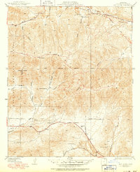
USGS Historical Quadrangle in GeoPDF.
|

|
