Filters: Tags: Reservoirs (X)
372 results (34ms)|
Filters
Date Range
Extensions Types Contacts
Categories Tag Types
|
Observed water temperatures from 1980-2018 were compiled for 877 lakes in Minnesota (USA). There were four lakes included in this data release that did not have temperature observations available at the time of compilation or these data existed elsewhere and were unknown to the compilation team. These data were used as training, test, and error-estimation data for process-guided deep learning models and the evaluation of process-based models. The data are formatted as a single csv (comma separated values) file with attributes corresponding to the unique combination of lake identifier, time, and depth. Data came from a variety of sources, including the Water Quality Portal, the North Temperate Lakes Long-Term Ecological...
This dataset summarized a collection of annual thermal metrics to characterize lake temperature impacts on fish habitat for 7,150 lakes from uncalibrated models (PB0) and 449 from calibrated models (PBALL). The dataset includes over 172 annual thermal metrics.
This dataset provides model specifications used to estimate water temperature from a process-based model (Hipsey et al. 2019). The format is a single JSON file indexed for each lake based on the "site_id". This dataset is part of a larger data release of lake temperature model inputs and outputs for 68 lakes in the U.S. states of Minnesota and Wisconsin (http://dx.doi.org/10.5066/P9AQPIVD).
This dataset includes model inputs that describe local weather conditions for Sparkling Lake, WI. Weather data comes from two sources: locally measured (2009-2017) and gridded estimates (all other time periods). There are two comma-delimited files, one for weather data (one row per model timestep) and one for ice-flags, which are used by the process-guided deep learning model to determine whether to apply the energy conservation constraint (the constraint is not applied when the lake is presumed to be ice-covered). The ice-cover flag is a modeled output and therefore not a true measurement (see "Predictions" and "pb0" model type for the source of this prediction). This dataset is part of a larger data release of...
Multiple modeling frameworks were used to predict daily temperatures at 0.5m depth intervals for a set of diverse lakes in the U.S. states of Minnesota and Wisconsin. Process-Based (PB) models were configured and calibrated with training data to reduce root-mean squared error. Uncalibrated models used default configurations (PB0; see Winslow et al. 2016 for details) and no parameters were adjusted according to model fit with observations. Deep Learning (DL) models were Long Short-Term Memory artificial recurrent neural network models which used training data to adjust model structure and weights for temperature predictions (Jia et al. 2019). Process-Guided Deep Learning (PGDL) models were DL models with an added...
This dataset includes model inputs that describe weather conditions for the 68 lakes included in this study. Weather data comes from gridded estimates (Mitchell et al. 2004). There are two comma-separated files, one for weather data (one row per model timestep) and one for ice-flags, which are used by the process-guided deep learning model to determine whether to apply the energy conservation constraint (the constraint is not applied when the lake is presumed to be ice-covered). The ice-cover flag is a modeled output and therefore not a true measurement (see "Predictions" and "pb0" model type for the source of this prediction). This dataset is part of a larger data release of lake temperature model inputs and outputs...
This map shows the status of aquatic ecosystems, in addition to the input datasets used for the analysis and distribution modeling that were involved in producing these status datasets. These data are provided by Bureau of Land Management (BLM) "as is" and may contain errors or omissions. The User assumes the entire risk associated with its use of these data and bears all responsibility in determining whether these data are fit for the User's intended use. These data may not have the accuracy, resolution, completeness, timeliness, or other characteristics appropriate for applications that potential users of the data may contemplate. The User is encouraged to carefully consider the content of the metadata file associated...
The upper Colorado River system is the habitat of several endangered fish: Kendall Warm Springs dace, Colorado squawfish, humpback chub, and bonytail chub. The single most important factor contributing to the decline of these species has been the construction and operation of dams and reservoirs, which have effected flow, temperature, chemistry, biota, and migration routes. Water depletion amounting to about 25% of the total has also had similar effects, particularly by eliminating the backwater nursery areas. A predicted decrease in agricultural use and increase in energy development use would decrease the amount of used irrigation water percolating back into the groundwater and streams. In addition, water allocated...
Categories: Publication;
Types: Citation,
Conference Citation;
Tags: Colorado River,
Irrigation,
Kendall Warm Springs dace,
aquatic habitats,
bonytail chub,
In 2004, about 90 migrating elk drowned after attempting to cross thin ice on the Mores Creek arm of Lucky Peak Lake upstream of the Highway 21 bridge. To better understand the depths over a range of reservoir pool elevations in the Mores Creek Arm, the U.S. Geological Survey, in cooperation with the Lucky Peak Power Plant Project, conducted high-resolution multibeam echosounder (MBES) bathymetric surveys on the Mores Creek arm on Lucky Peak Lake. The MBES data will assist reservoir managers and wildlife biologists with regulating reservoir water surface elevations (WSE) to support successful big game migration across Mores Creek on Lucky Peak Lake. Data collection provided nearly 100 percent coverage of bed elevations...
Categories: Data;
Types: Downloadable,
Map Service,
OGC WFS Layer,
OGC WMS Layer,
OGC WMS Service,
Shapefile;
Tags: Boise,
GPS measurement,
Hypack,
Hysweep,
ID,
As part of the Triangle Area Water Supply Monitoring Project, the U.S. Geological Survey conducted a study to evaluate the occurrence and distribution of phytoplankton, taste-and-odor compounds, and cyanotoxin occurrence in four water-supply reservoirs in the Triangle area of North Carolina. This data release contains the associated data described in the Scientific Investigations Report, "Phytoplankton, Taste-and-Odor Compounds, and Cyanotoxin Occurrence in Drinking Water Supply Reservoirs in the Triangle Area of North Carolina". Surface-water samples were collected four times between April and October 2014 at five study sites for laboratory analysis of nutrients, chlorophyll a, major ions, metals, taste and odor...
Categories: Data;
Tags: Chatham County,
North Carolina,
Orange County,
USGS Science Data Catalog (SDC),
Water Quality,
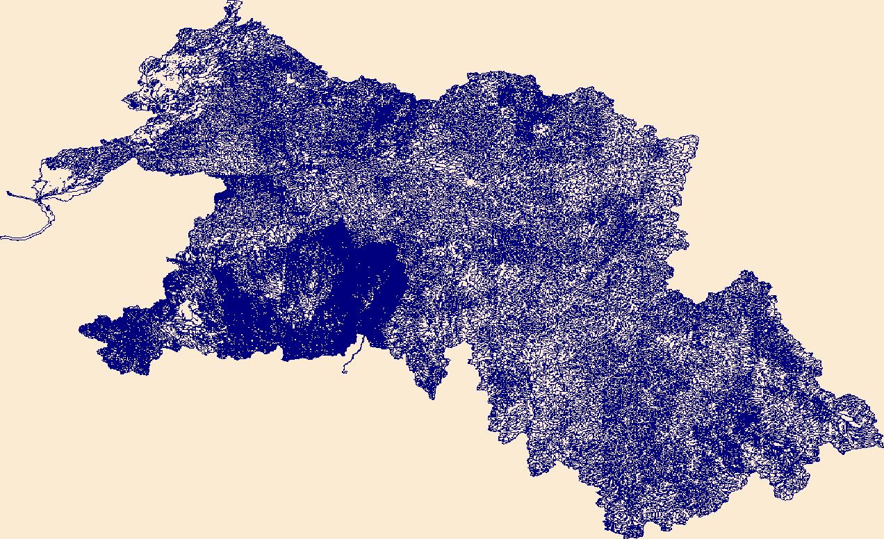
The High Resolution National Hydrography Dataset Plus (NHDPlus HR) is an integrated set of geospatial data layers, including the best available National Hydrography Dataset (NHD), the 10-meter 3D Elevation Program Digital Elevation Model (3DEP DEM), and the National Watershed Boundary Dataset (WBD). The NHDPlus HR combines the NHD, 3DEP DEMs, and WBD to create a stream network with linear referencing, feature naming, "value added attributes" (VAAs), elevation-derived catchments, and other features for hydrologic data analysis. The stream network with linear referencing is a system of data relationships applied to hydrographic systems so that one stream reach "flows" into another and "events" can be tied to and traced...
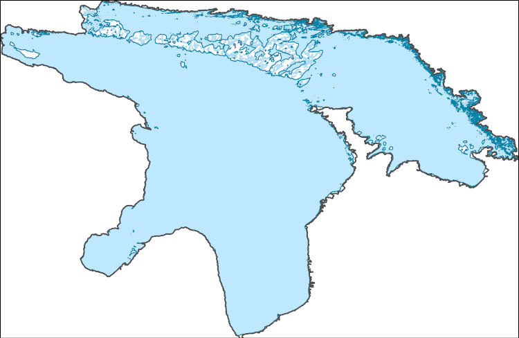
The High Resolution National Hydrography Dataset Plus (NHDPlus HR) is an integrated set of geospatial data layers, including the best available National Hydrography Dataset (NHD), the 10-meter 3D Elevation Program Digital Elevation Model (3DEP DEM), and the National Watershed Boundary Dataset (WBD). The NHDPlus HR combines the NHD, 3DEP DEMs, and WBD to create a stream network with linear referencing, feature naming, "value added attributes" (VAAs), elevation-derived catchments, and other features for hydrologic data analysis. The stream network with linear referencing is a system of data relationships applied to hydrographic systems so that one stream reach "flows" into another and "events" can be tied to and traced...
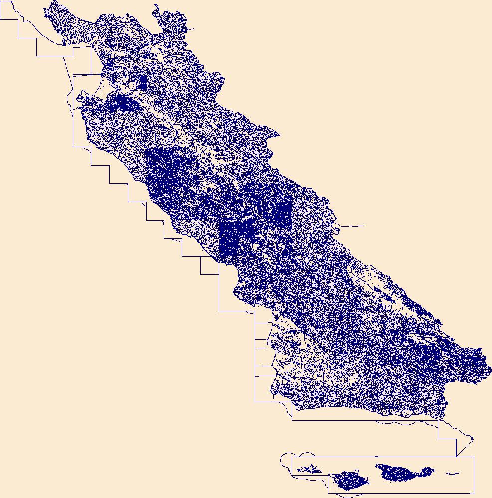
The High Resolution National Hydrography Dataset Plus (NHDPlus HR) is an integrated set of geospatial data layers, including the best available National Hydrography Dataset (NHD), the 10-meter 3D Elevation Program Digital Elevation Model (3DEP DEM), and the National Watershed Boundary Dataset (WBD). The NHDPlus HR combines the NHD, 3DEP DEMs, and WBD to create a stream network with linear referencing, feature naming, "value added attributes" (VAAs), elevation-derived catchments, and other features for hydrologic data analysis. The stream network with linear referencing is a system of data relationships applied to hydrographic systems so that one stream reach "flows" into another and "events" can be tied to and traced...
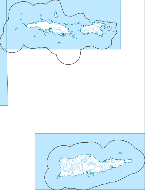
The High Resolution National Hydrography Dataset Plus (NHDPlus HR) is an integrated set of geospatial data layers, including the best available National Hydrography Dataset (NHD), the 10-meter 3D Elevation Program Digital Elevation Model (3DEP DEM), and the National Watershed Boundary Dataset (WBD). The NHDPlus HR combines the NHD, 3DEP DEMs, and WBD to create a stream network with linear referencing, feature naming, "value added attributes" (VAAs), elevation-derived catchments, and other features for hydrologic data analysis. The stream network with linear referencing is a system of data relationships applied to hydrographic systems so that one stream reach "flows" into another and "events" can be tied to and traced...
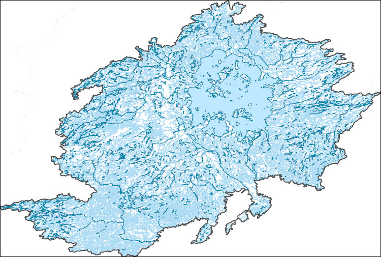
The High Resolution National Hydrography Dataset Plus (NHDPlus HR) is an integrated set of geospatial data layers, including the best available National Hydrography Dataset (NHD), the 10-meter 3D Elevation Program Digital Elevation Model (3DEP DEM), and the National Watershed Boundary Dataset (WBD). The NHDPlus HR combines the NHD, 3DEP DEMs, and WBD to create a stream network with linear referencing, feature naming, "value added attributes" (VAAs), elevation-derived catchments, and other features for hydrologic data analysis. The stream network with linear referencing is a system of data relationships applied to hydrographic systems so that one stream reach "flows" into another and "events" can be tied to and traced...
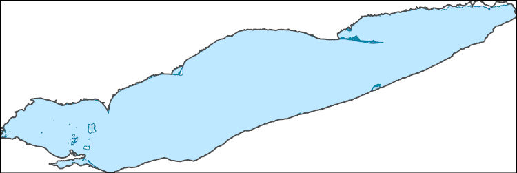
The High Resolution National Hydrography Dataset Plus (NHDPlus HR) is an integrated set of geospatial data layers, including the best available National Hydrography Dataset (NHD), the 10-meter 3D Elevation Program Digital Elevation Model (3DEP DEM), and the National Watershed Boundary Dataset (WBD). The NHDPlus HR combines the NHD, 3DEP DEMs, and WBD to create a stream network with linear referencing, feature naming, "value added attributes" (VAAs), elevation-derived catchments, and other features for hydrologic data analysis. The stream network with linear referencing is a system of data relationships applied to hydrographic systems so that one stream reach "flows" into another and "events" can be tied to and traced...
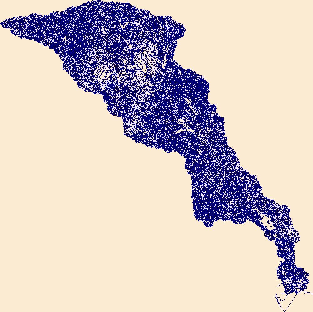
The High Resolution National Hydrography Dataset Plus (NHDPlus HR) is an integrated set of geospatial data layers, including the best available National Hydrography Dataset (NHD), the 10-meter 3D Elevation Program Digital Elevation Model (3DEP DEM), and the National Watershed Boundary Dataset (WBD). The NHDPlus HR combines the NHD, 3DEP DEMs, and WBD to create a stream network with linear referencing, feature naming, "value added attributes" (VAAs), elevation-derived catchments, and other features for hydrologic data analysis. The stream network with linear referencing is a system of data relationships applied to hydrographic systems so that one stream reach "flows" into another and "events" can be tied to and traced...
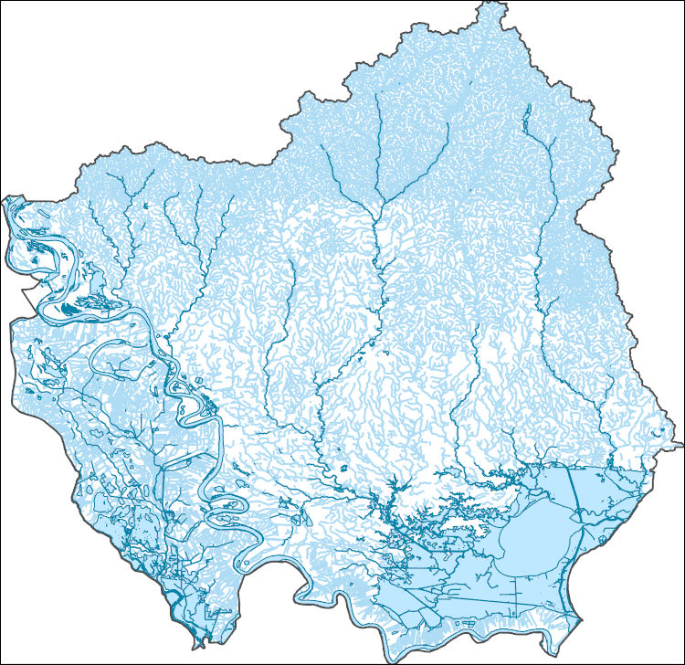
The High Resolution National Hydrography Dataset Plus (NHDPlus HR) is an integrated set of geospatial data layers, including the best available National Hydrography Dataset (NHD), the 10-meter 3D Elevation Program Digital Elevation Model (3DEP DEM), and the National Watershed Boundary Dataset (WBD). The NHDPlus HR combines the NHD, 3DEP DEMs, and WBD to create a stream network with linear referencing, feature naming, "value added attributes" (VAAs), elevation-derived catchments, and other features for hydrologic data analysis. The stream network with linear referencing is a system of data relationships applied to hydrographic systems so that one stream reach "flows" into another and "events" can be tied to and traced...

The High Resolution National Hydrography Dataset Plus (NHDPlus HR) is an integrated set of geospatial data layers, including the National Hydrography Dataset (NHD), National Watershed Boundary Dataset (WBD), and 3D Elevation Program Digital Elevation Model (3DEP DEM). The NHDPlus HR combines the NHD, 3DEP DEMs, and WBD to a data suite that includes the NHD stream network with linear referencing functionality, the WBD hydrologic units, elevation-derived catchment areas for each stream segment, "value added attributes" (VAAs), and other features that enhance hydrologic data analysis and routing.

The High Resolution National Hydrography Dataset Plus (NHDPlus HR) is an integrated set of geospatial data layers, including the National Hydrography Dataset (NHD), National Watershed Boundary Dataset (WBD), and 3D Elevation Program Digital Elevation Model (3DEP DEM). The NHDPlus HR combines the NHD, 3DEP DEMs, and WBD to a data suite that includes the NHD stream network with linear referencing functionality, the WBD hydrologic units, elevation-derived catchment areas for each stream segment, "value added attributes" (VAAs), and other features that enhance hydrologic data analysis and routing.
|

|