Filters
Date Types (for Date Range)
Extensions
Types
Contacts
Categories
Tag Types
Tag Schemes
|

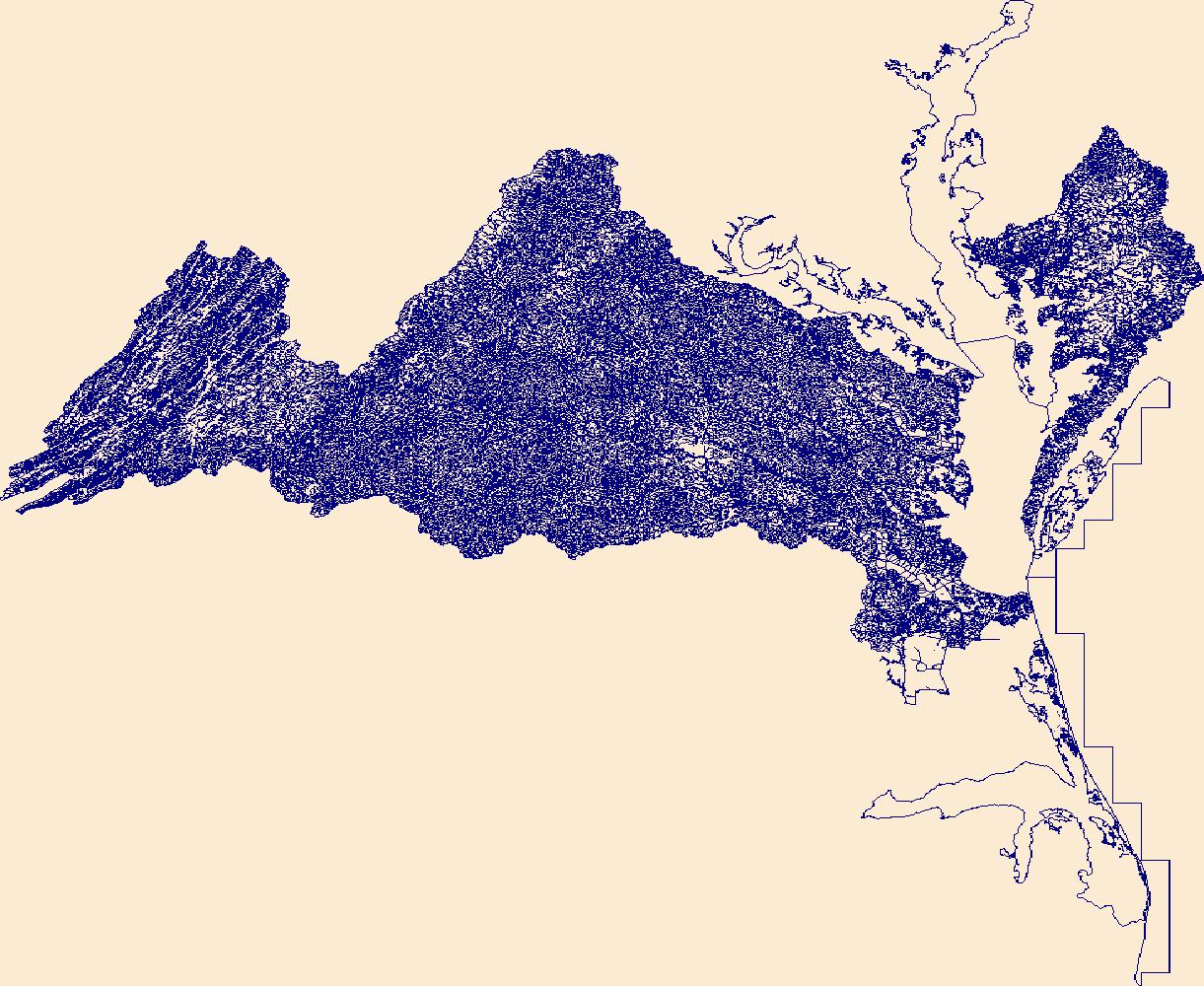
The High Resolution National Hydrography Dataset Plus (NHDPlus HR) is an integrated set of geospatial data layers, including the National Hydrography Dataset (NHD), National Watershed Boundary Dataset (WBD), and 3D Elevation Program Digital Elevation Model (3DEP DEM). The NHDPlus HR combines the NHD, 3DEP DEMs, and WBD to a data suite that includes the NHD stream network with linear referencing functionality, the WBD hydrologic units, elevation-derived catchment areas for each stream segment, "value added attributes" (VAAs), and other features that enhance hydrologic data analysis and routing.
Tags: 4-digit hydrologic unit,
Accomack County,
Albemarle County,
Alleghany County,
Amelia County, All tags...
Amherst County,
Appomattox County,
Augusta County,
Bath County,
Bedford County,
Botetourt County,
Buckingham County,
Buena Vista County,
Campbell County,
Caroline County,
Charles City County,
Charlotte County,
Charlottesville County,
Chesapeake County,
Chesterfield County,
Colonial Heights County,
Covington County,
Craig County,
Culpeper County,
Cumberland County,
DE,
Delaware,
Dinwiddie County,
Dorchester County,
Downloadable Data,
Essex County,
Fauquier County,
FileGDB,
Fluvanna County,
Fredericksburg County,
Giles County,
Gloucester County,
Goochland County,
Greenbrier County,
Greene County,
HU-4 Subregion,
HU4,
HU4_0208,
Hampton County,
Hanover County,
Henrico County,
Highland County,
Hopewell County,
Hydrography,
Isle of Wight County,
James City County,
Kent County,
King George County,
King William County,
King and Queen County,
Lancaster County,
Lexington County,
Louisa County,
Lunenburg County,
Lynchburg County,
MD,
Madison County,
Maryland,
Mathews County,
Middlesex County,
Monroe County,
Montgomery County,
NHDPlus HR Rasters,
NHDPlus High Resolution (NHDPlus HR),
National Hydrography Dataset (NHD),
National Hydrography Dataset Plus High Resolution (NHDPlus HR),
National Hydrography Dataset Plus High Resolution (NHDPlus HR) Current,
Nelson County,
New Kent County,
Newport News County,
Norfolk County,
Northampton County,
Northumberland County,
Nottoway County,
Orange County,
Page County,
Pendleton County,
Petersburg County,
Pocahontas County,
Poquoson County,
Portsmouth County,
Powhatan County,
Prince Edward County,
Prince George County,
Rappahannock County,
Richmond County,
Roanoke County,
Rockbridge County,
Rockingham County,
Somerset County,
Spotsylvania County,
St. Mary's County,
Stafford County,
Suffolk County,
Surry County,
Sussex County,
US,
United States,
VA,
Virginia,
Virginia Beach County,
WV,
Warren County,
West Virginia,
Westmoreland County,
Wicomico County,
Williamsburg County,
Worcester County,
York County,
base maps,
cartography,
catchments,
channels,
digital elevation models,
drainage basins,
earthsciences,
environment,
geographic information systems,
geoscientificInformation,
geospatial analysis,
hydrographic datasets,
hydrographic features,
hydrology,
inlandWaters,
lakes,
land surface characteristics,
reservoirs,
river reaches,
rivers,
streamflow,
streamflow data,
streams,
surface water quality,
topography,
water resources,
waterbodies,
watersheds, Fewer tags

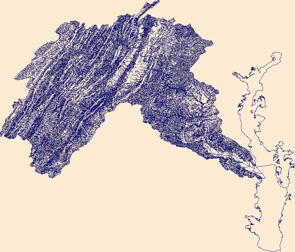
The High Resolution National Hydrography Dataset Plus (NHDPlus HR) is an integrated set of geospatial data layers, including the National Hydrography Dataset (NHD), National Watershed Boundary Dataset (WBD), and 3D Elevation Program Digital Elevation Model (3DEP DEM). The NHDPlus HR combines the NHD, 3DEP DEMs, and WBD to a data suite that includes the NHD stream network with linear referencing functionality, the WBD hydrologic units, elevation-derived catchment areas for each stream segment, "value added attributes" (VAAs), and other features that enhance hydrologic data analysis and routing.
Tags: 4-digit hydrologic unit,
Accomack County,
Adams County,
Albemarle County,
Alexandria County, All tags...
Allegany County,
Arlington County,
Augusta County,
Bedford County,
Berkeley County,
Carroll County,
Charles County,
Clarke County,
Cumberland County,
DC,
District of Columbia,
District of Columbia County,
Downloadable Data,
Fairfax County,
Falls Church County,
Fauquier County,
FileGDB,
Franklin County,
Frederick County,
Fulton County,
Garrett County,
Grant County,
Greene County,
HU-4 Subregion,
HU4,
HU4_0207,
Hampshire County,
Hardy County,
Harrisonburg County,
Highland County,
Huntingdon County,
Hydrography,
Jefferson County,
King George County,
Loudoun County,
MD,
Madison County,
Manassas County,
Manassas Park County,
Maryland,
Mineral County,
Montgomery County,
Morgan County,
NHDPlus HR Rasters,
NHDPlus High Resolution (NHDPlus HR),
National Hydrography Dataset (NHD),
National Hydrography Dataset Plus High Resolution (NHDPlus HR),
National Hydrography Dataset Plus High Resolution (NHDPlus HR) Current,
Nelson County,
Northumberland County,
PA,
Page County,
Pendleton County,
Pennsylvania,
Perry County,
Pocahontas County,
Preston County,
Prince George's County,
Prince William County,
Randolph County,
Rappahannock County,
Richmond County,
Rockingham County,
Shenandoah County,
Somerset County,
St. Mary's County,
Stafford County,
Staunton County,
Tucker County,
US,
United States,
VA,
Virginia,
WV,
Warren County,
Washington County,
Waynesboro County,
West Virginia,
Westmoreland County,
Winchester County,
base maps,
cartography,
catchments,
channels,
digital elevation models,
drainage basins,
earthsciences,
environment,
geographic information systems,
geoscientificInformation,
geospatial analysis,
hydrographic datasets,
hydrographic features,
hydrology,
inlandWaters,
lakes,
land surface characteristics,
reservoirs,
river reaches,
rivers,
streamflow,
streamflow data,
streams,
surface water quality,
topography,
water resources,
waterbodies,
watersheds, Fewer tags

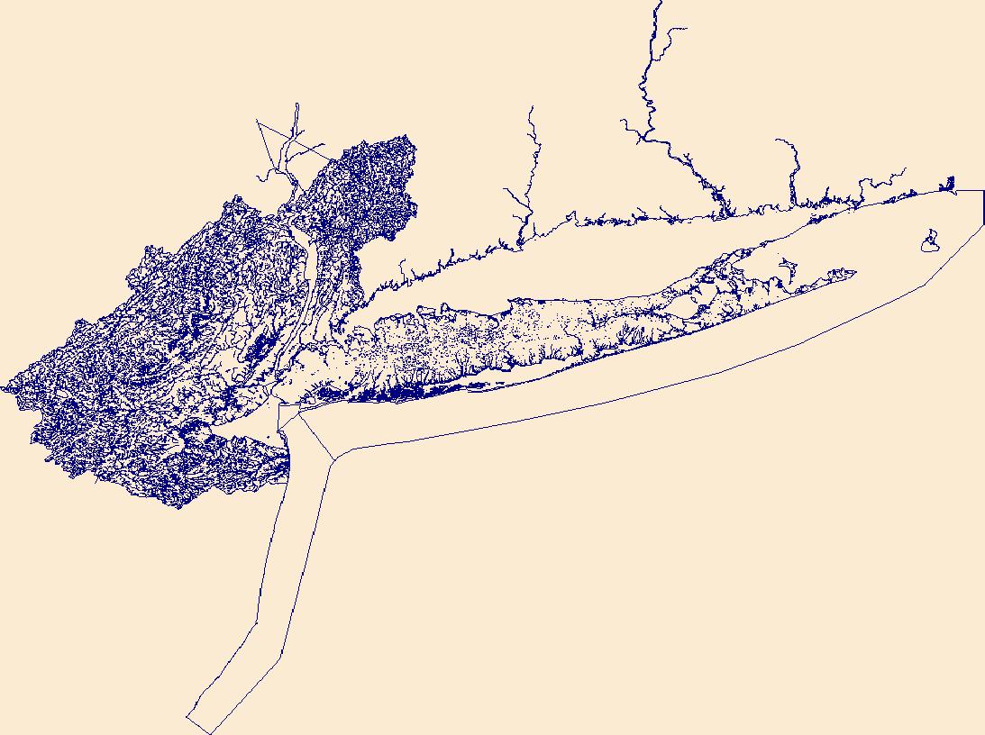
The High Resolution National Hydrography Dataset Plus (NHDPlus HR) is an integrated set of geospatial data layers, including the National Hydrography Dataset (NHD), National Watershed Boundary Dataset (WBD), and 3D Elevation Program Digital Elevation Model (3DEP DEM). The NHDPlus HR combines the NHD, 3DEP DEMs, and WBD to a data suite that includes the NHD stream network with linear referencing functionality, the WBD hydrologic units, elevation-derived catchment areas for each stream segment, "value added attributes" (VAAs), and other features that enhance hydrologic data analysis and routing.
Tags: 4-digit hydrologic unit,
Bergen County,
Bronx County,
CT,
Connecticut, All tags...
Downloadable Data,
Dutchess County,
Essex County,
Fairfield County,
FileGDB,
HU-4 Subregion,
HU4,
HU4_0203,
Hudson County,
Hunterdon County,
Hydrography,
Kings County,
Mercer County,
Middlesex County,
Monmouth County,
Morris County,
NHDPlus HR Rasters,
NHDPlus High Resolution (NHDPlus HR),
NJ,
NY,
Nassau County,
National Hydrography Dataset (NHD),
National Hydrography Dataset Plus High Resolution (NHDPlus HR),
National Hydrography Dataset Plus High Resolution (NHDPlus HR) Current,
New Haven County,
New Jersey,
New London County,
New York,
New York County,
Orange County,
Passaic County,
Putnam County,
Queens County,
RI,
Rhode Island,
Richmond County,
Rockland County,
Somerset County,
Suffolk County,
Sussex County,
US,
Union County,
United States,
Washington County,
Westchester County,
base maps,
cartography,
catchments,
channels,
digital elevation models,
drainage basins,
earthsciences,
environment,
geographic information systems,
geoscientificInformation,
geospatial analysis,
hydrographic datasets,
hydrographic features,
hydrology,
inlandWaters,
lakes,
land surface characteristics,
reservoirs,
river reaches,
rivers,
streamflow,
streamflow data,
streams,
surface water quality,
topography,
water resources,
waterbodies,
watersheds, Fewer tags

Problem Previous hydrologic studies have indicated that there may be sufficient water resources underlying Richmond, New York, and Bronx Counties for use as a supplemental water supply by the New York City Department of Environmental Protection (NYCDEP) in times of a drought or other water shortage. Unfortunately, comprehensive data on the quantity and quality of the Counties' water resources are not available to make an accurate assessment. In order to evaluate the availability and suitability of these resources, representative and timely data on the ground-water and surface-water resources of these three Counties are needed. Objectives The primary objective is to develop, operate, and maintain long-term monitoring...
Categories: Data,
Project;
Types: Downloadable,
Map Service,
OGC WFS Layer,
OGC WMS Layer,
Shapefile;
Tags: Bronx County,
Completed,
Cooperative Water Program,
GW or SW,
GW or SW, All tags...
GW or SW,
Groundwater Monitoring,
Groundwater Monitoring,
Groundwater Monitoring,
Groundwater and Streamflow Information,
Groundwater and Streamflow Information,
Groundwater-Quality Monitoring,
Groundwater-Quality Monitoring,
Groundwater-Quality Monitoring,
New York,
New York County,
Richmond County,
Streamgaging and Hydroacoustics,
Surface-Water Monitoring,
Surface-Water Monitoring,
Surface-Water Monitoring,
Surface-Water Quality Monitoring,
Surface-Water Quality Monitoring,
Surface-Water-Quality Monitoring,
USGS New York Water Science Center,
WSC,
Water Quality,
Water Quality,
Water Quality,
Water quality, Fewer tags
|
|


