Filters
Date Range
Contacts
Tag Types
Tag Schemes
|
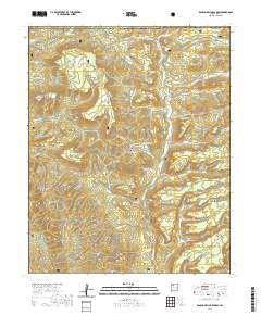
Layered geospatial PDF 7.5 Minute Quadrangle Map. Layers of geospatial data include orthoimagery, roads, grids, geographic names, elevation contours, hydrography, and other selected map features. This map is derived from GIS (geospatial information system) data. It represents a repackaging of GIS data in traditional map form, not creation of new information. The geospatial data in this map are from selected National Map data holdings and other government sources.
Tags: 7.5 x 7.5 minute,
Downloadable Data,
EarthCover,
Geospatial PDF,
Imagery and Base Maps, All tags...
Map,
New Mexico,
Public Land Survey System,
Rancho del Chaparral, NM,
Rio Arriba County,
Sandoval County,
U.S. National Grid,
US,
US Topo,
US Topo Historical,
boundary,
contour,
geographic names,
hydrography,
imageryBaseMapsEarthCover,
orthoimage,
structures,
topographic,
transportation,
woodland, Fewer tags
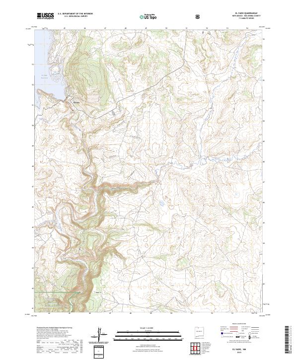
Layered geospatial PDF 7.5 Minute Quadrangle Map. Layers of geospatial data include orthoimagery, roads, grids, geographic names, elevation contours, hydrography, and other selected map features. This map is derived from GIS (geospatial information system) data. It represents a repackaging of GIS data in traditional map form, not creation of new information. The geospatial data in this map are from selected National Map data holdings and other government sources.
Tags: 7.5 x 7.5 minute,
Downloadable Data,
EarthCover,
Geospatial PDF,
Imagery and Base Maps, All tags...
Map,
New Mexico,
Public Land Survey System,
Rio Arriba County,
U.S. National Grid,
US,
US Topo,
US Topo Current,
boundary,
contour,
geographic names,
hydrography,
imageryBaseMapsEarthCover,
orthoimage,
structures,
topographic,
transportation,
woodland, Fewer tags
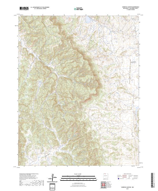
Layered geospatial PDF 7.5 Minute Quadrangle Map. Layers of geospatial data include orthoimagery, roads, grids, geographic names, elevation contours, hydrography, and other selected map features. This map is derived from GIS (geospatial information system) data. It represents a repackaging of GIS data in traditional map form, not creation of new information. The geospatial data in this map are from selected National Map data holdings and other government sources.
Tags: 7.5 x 7.5 minute,
Downloadable Data,
EarthCover,
Geospatial PDF,
Imagery and Base Maps, All tags...
Map,
New Mexico,
Public Land Survey System,
Rio Arriba County,
U.S. National Grid,
US,
US Topo,
US Topo Current,
boundary,
contour,
geographic names,
hydrography,
imageryBaseMapsEarthCover,
orthoimage,
structures,
topographic,
transportation,
woodland, Fewer tags
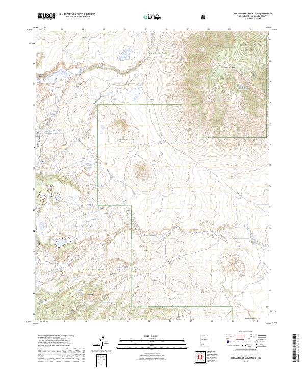
Layered geospatial PDF 7.5 Minute Quadrangle Map. Layers of geospatial data include orthoimagery, roads, grids, geographic names, elevation contours, hydrography, and other selected map features. This map is derived from GIS (geospatial information system) data. It represents a repackaging of GIS data in traditional map form, not creation of new information. The geospatial data in this map are from selected National Map data holdings and other government sources.
Tags: 7.5 x 7.5 minute,
Downloadable Data,
EarthCover,
Geospatial PDF,
Imagery and Base Maps, All tags...
Map,
New Mexico,
Public Land Survey System,
Rio Arriba County,
U.S. National Grid,
US,
US Topo,
US Topo Current,
boundary,
contour,
geographic names,
hydrography,
imageryBaseMapsEarthCover,
orthoimage,
structures,
topographic,
transportation,
woodland, Fewer tags
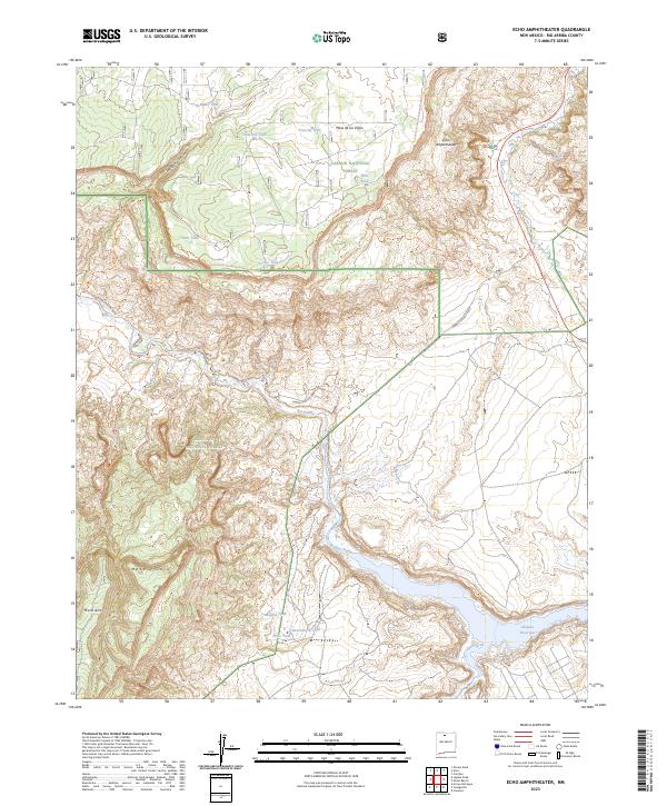
Layered geospatial PDF 7.5 Minute Quadrangle Map. Layers of geospatial data include orthoimagery, roads, grids, geographic names, elevation contours, hydrography, and other selected map features. This map is derived from GIS (geospatial information system) data. It represents a repackaging of GIS data in traditional map form, not creation of new information. The geospatial data in this map are from selected National Map data holdings and other government sources.
Tags: 7.5 x 7.5 minute,
Downloadable Data,
EarthCover,
Geospatial PDF,
Imagery and Base Maps, All tags...
Map,
New Mexico,
Public Land Survey System,
Rio Arriba County,
U.S. National Grid,
US,
US Topo,
US Topo Current,
boundary,
contour,
geographic names,
hydrography,
imageryBaseMapsEarthCover,
orthoimage,
structures,
topographic,
transportation,
woodland, Fewer tags
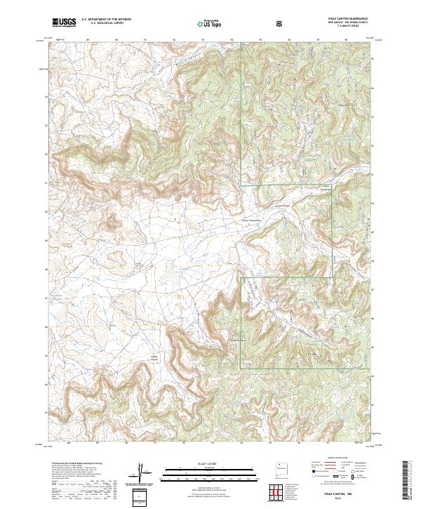
Layered geospatial PDF 7.5 Minute Quadrangle Map. Layers of geospatial data include orthoimagery, roads, grids, geographic names, elevation contours, hydrography, and other selected map features. This map is derived from GIS (geospatial information system) data. It represents a repackaging of GIS data in traditional map form, not creation of new information. The geospatial data in this map are from selected National Map data holdings and other government sources.
Tags: 7.5 x 7.5 minute,
Downloadable Data,
EarthCover,
Geospatial PDF,
Imagery and Base Maps, All tags...
Map,
New Mexico,
Public Land Survey System,
Rio Arriba County,
U.S. National Grid,
US,
US Topo,
US Topo Current,
boundary,
contour,
geographic names,
hydrography,
imageryBaseMapsEarthCover,
orthoimage,
structures,
topographic,
transportation,
woodland, Fewer tags
Layered geospatial PDF 7.5 Minute Quadrangle Map. Layers of geospatial data include orthoimagery, roads, grids, geographic names, elevation contours, hydrography, and other selected map features. This map is derived from GIS (geospatial information system) data. It represents a repackaging of GIS data in traditional map form, not creation of new information. The geospatial data in this map are from selected National Map data holdings and other government sources.
Tags: 7.5 x 7.5 minute,
Downloadable Data,
EarthCover,
El Valle, NM,
Geospatial PDF, All tags...
Imagery and Base Maps,
Map,
New Mexico,
Public Land Survey System,
Rio Arriba County,
Santa Fe County,
Taos County,
U.S. National Grid,
US,
US Topo,
US Topo Historical,
boundary,
contour,
geographic names,
hydrography,
imageryBaseMapsEarthCover,
orthoimage,
structures,
topographic,
transportation,
woodland, Fewer tags
Layered geospatial PDF 7.5 Minute Quadrangle Map. Layers of geospatial data include orthoimagery, roads, grids, geographic names, elevation contours, hydrography, and other selected map features. This map is derived from GIS (geospatial information system) data. It represents a repackaging of GIS data in traditional map form, not creation of new information. The geospatial data in this map are from selected National Map data holdings and other government sources.
Tags: 7.5 x 7.5 minute,
Broke Off Mountain, NM,
Downloadable Data,
EarthCover,
Geospatial PDF, All tags...
Imagery and Base Maps,
Map,
New Mexico,
Public Land Survey System,
Rio Arriba County,
U.S. National Grid,
US,
US Topo,
US Topo Historical,
boundary,
contour,
geographic names,
hydrography,
imageryBaseMapsEarthCover,
orthoimage,
structures,
topographic,
transportation,
woodland, Fewer tags
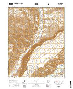
Layered geospatial PDF 7.5 Minute Quadrangle Map. Layers of geospatial data include orthoimagery, roads, grids, geographic names, elevation contours, hydrography, and other selected map features. This map is derived from GIS (geospatial information system) data. It represents a repackaging of GIS data in traditional map form, not creation of new information. The geospatial data in this map are from selected National Map data holdings and other government sources.
Tags: 7.5 x 7.5 minute,
Downloadable Data,
EarthCover,
Geospatial PDF,
Imagery and Base Maps, All tags...
Lyden, NM,
Map,
New Mexico,
Public Land Survey System,
Rio Arriba County,
U.S. National Grid,
US,
US Topo,
US Topo Historical,
boundary,
contour,
geographic names,
hydrography,
imageryBaseMapsEarthCover,
orthoimage,
structures,
topographic,
transportation,
woodland, Fewer tags
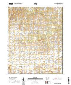
Layered geospatial PDF 7.5 Minute Quadrangle Map. Layers of geospatial data include orthoimagery, roads, grids, geographic names, elevation contours, hydrography, and other selected map features. This map is derived from GIS (geospatial information system) data. It represents a repackaging of GIS data in traditional map form, not creation of new information. The geospatial data in this map are from selected National Map data holdings and other government sources.
Tags: 7.5 x 7.5 minute,
Downloadable Data,
EarthCover,
Five Lakes Canyon NW, NM,
Geospatial PDF, All tags...
Imagery and Base Maps,
Map,
New Mexico,
Public Land Survey System,
Rio Arriba County,
Sandoval County,
U.S. National Grid,
US,
US Topo,
US Topo Historical,
boundary,
contour,
geographic names,
hydrography,
imageryBaseMapsEarthCover,
orthoimage,
structures,
topographic,
transportation,
woodland, Fewer tags
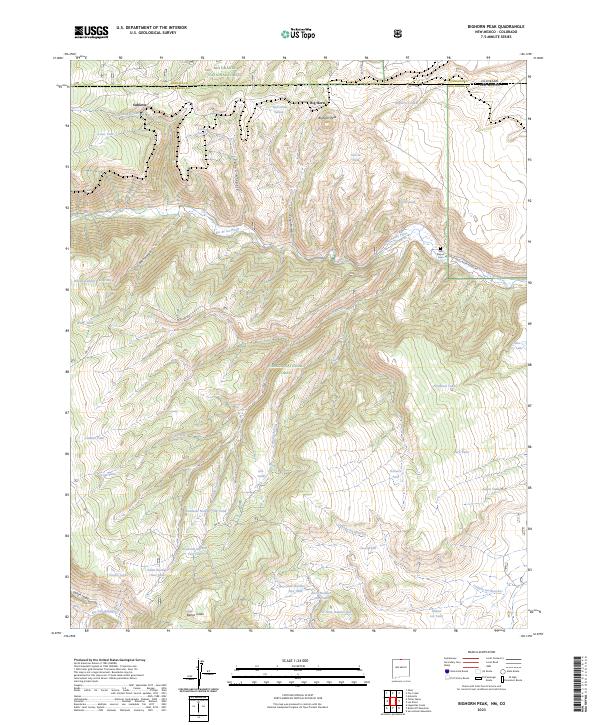
Layered geospatial PDF 7.5 Minute Quadrangle Map. Layers of geospatial data include orthoimagery, roads, grids, geographic names, elevation contours, hydrography, and other selected map features. This map is derived from GIS (geospatial information system) data. It represents a repackaging of GIS data in traditional map form, not creation of new information. The geospatial data in this map are from selected National Map data holdings and other government sources.
Tags: 7.5 x 7.5 minute,
Conejos County,
Downloadable Data,
EarthCover,
Geospatial PDF, All tags...
Imagery and Base Maps,
Map,
New Mexico,
Public Land Survey System,
Rio Arriba County,
U.S. National Grid,
US,
US Topo,
US Topo Current,
boundary,
contour,
geographic names,
hydrography,
imageryBaseMapsEarthCover,
orthoimage,
structures,
topographic,
transportation,
woodland, Fewer tags
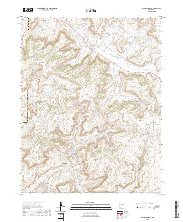
Layered geospatial PDF 7.5 Minute Quadrangle Map. Layers of geospatial data include orthoimagery, roads, grids, geographic names, elevation contours, hydrography, and other selected map features. This map is derived from GIS (geospatial information system) data. It represents a repackaging of GIS data in traditional map form, not creation of new information. The geospatial data in this map are from selected National Map data holdings and other government sources.
Tags: 7.5 x 7.5 minute,
Downloadable Data,
EarthCover,
Geospatial PDF,
Imagery and Base Maps, All tags...
Map,
New Mexico,
Public Land Survey System,
Rio Arriba County,
San Juan County,
U.S. National Grid,
US,
US Topo,
US Topo Current,
boundary,
contour,
geographic names,
hydrography,
imageryBaseMapsEarthCover,
orthoimage,
structures,
topographic,
transportation,
woodland, Fewer tags
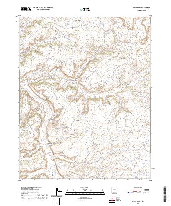
Layered geospatial PDF 7.5 Minute Quadrangle Map. Layers of geospatial data include orthoimagery, roads, grids, geographic names, elevation contours, hydrography, and other selected map features. This map is derived from GIS (geospatial information system) data. It represents a repackaging of GIS data in traditional map form, not creation of new information. The geospatial data in this map are from selected National Map data holdings and other government sources.
Tags: 7.5 x 7.5 minute,
Downloadable Data,
EarthCover,
Geospatial PDF,
Imagery and Base Maps, All tags...
Map,
New Mexico,
Public Land Survey System,
Rio Arriba County,
U.S. National Grid,
US,
US Topo,
US Topo Current,
boundary,
contour,
geographic names,
hydrography,
imageryBaseMapsEarthCover,
orthoimage,
structures,
topographic,
transportation,
woodland, Fewer tags
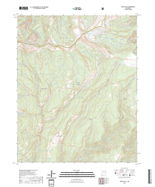
Layered geospatial PDF 7.5 Minute Quadrangle Map. Layers of geospatial data include orthoimagery, roads, grids, geographic names, elevation contours, hydrography, and other selected map features. This map is derived from GIS (geospatial information system) data. It represents a repackaging of GIS data in traditional map form, not creation of new information. The geospatial data in this map are from selected National Map data holdings and other government sources.
Tags: 7.5 x 7.5 minute,
Downloadable Data,
EarthCover,
Geospatial PDF,
Imagery and Base Maps, All tags...
Map,
Mora County,
New Mexico,
Public Land Survey System,
Rio Arriba County,
U.S. National Grid,
US,
US Topo,
US Topo Current,
boundary,
contour,
geographic names,
hydrography,
imageryBaseMapsEarthCover,
orthoimage,
structures,
topographic,
transportation,
woodland, Fewer tags
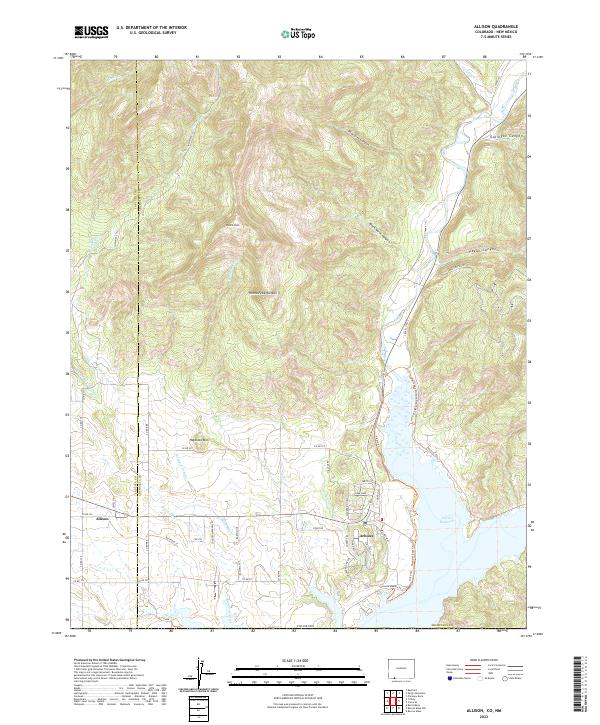
Layered geospatial PDF 7.5 Minute Quadrangle Map. Layers of geospatial data include orthoimagery, roads, grids, geographic names, elevation contours, hydrography, and other selected map features. This map is derived from GIS (geospatial information system) data. It represents a repackaging of GIS data in traditional map form, not creation of new information. The geospatial data in this map are from selected National Map data holdings and other government sources.
Tags: 7.5 x 7.5 minute,
Archuleta County,
Colorado,
Downloadable Data,
EarthCover, All tags...
Geospatial PDF,
Geospatial PDF,
Imagery and Base Maps,
La Plata County,
Map,
Public Land Survey System,
Rio Arriba County,
San Juan County,
U.S. National Grid,
US,
US Topo,
US Topo Current,
boundary,
contour,
geographic names,
hydrography,
imageryBaseMapsEarthCover,
orthoimage,
structures,
topographic,
transportation,
woodland, Fewer tags
Layered geospatial PDF 7.5 Minute Quadrangle Map. Layers of geospatial data include orthoimagery, roads, grids, geographic names, elevation contours, hydrography, and other selected map features. This map is derived from GIS (geospatial information system) data. It represents a repackaging of GIS data in traditional map form, not creation of new information. The geospatial data in this map are from selected National Map data holdings and other government sources.
Tags: 7.5 x 7.5 minute,
Downloadable Data,
EarthCover,
Geospatial PDF,
Imagery and Base Maps, All tags...
Map,
Mule Canyon, NM,
New Mexico,
Public Land Survey System,
Rio Arriba County,
U.S. National Grid,
US,
US Topo,
US Topo Historical,
boundary,
contour,
geographic names,
hydrography,
imageryBaseMapsEarthCover,
orthoimage,
structures,
topographic,
transportation,
woodland, Fewer tags
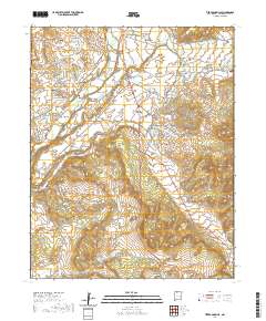
Layered geospatial PDF 7.5 Minute Quadrangle Map. Layers of geospatial data include orthoimagery, roads, grids, geographic names, elevation contours, hydrography, and other selected map features. This map is derived from GIS (geospatial information system) data. It represents a repackaging of GIS data in traditional map form, not creation of new information. The geospatial data in this map are from selected National Map data holdings and other government sources.
Tags: 7.5 x 7.5 minute,
Downloadable Data,
EarthCover,
Geospatial PDF,
Imagery and Base Maps, All tags...
Map,
New Mexico,
Public Land Survey System,
Rio Arriba County,
Tierra Amarilla, NM,
U.S. National Grid,
US,
US Topo,
US Topo Historical,
boundary,
contour,
geographic names,
hydrography,
imageryBaseMapsEarthCover,
orthoimage,
structures,
topographic,
transportation,
woodland, Fewer tags
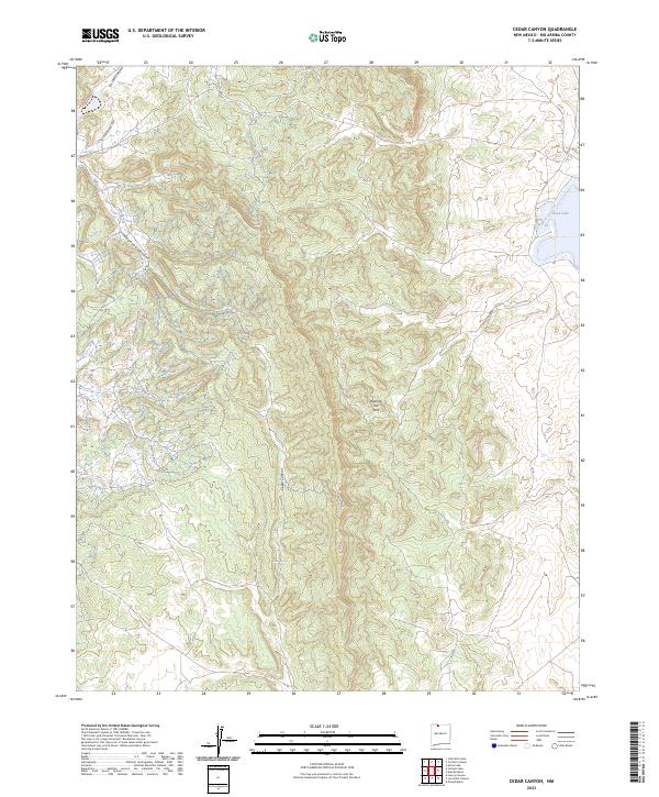
Layered geospatial PDF 7.5 Minute Quadrangle Map. Layers of geospatial data include orthoimagery, roads, grids, geographic names, elevation contours, hydrography, and other selected map features. This map is derived from GIS (geospatial information system) data. It represents a repackaging of GIS data in traditional map form, not creation of new information. The geospatial data in this map are from selected National Map data holdings and other government sources.
Tags: 7.5 x 7.5 minute,
Downloadable Data,
EarthCover,
Geospatial PDF,
Imagery and Base Maps, All tags...
Map,
New Mexico,
Public Land Survey System,
Rio Arriba County,
U.S. National Grid,
US,
US Topo,
US Topo Current,
boundary,
contour,
geographic names,
hydrography,
imageryBaseMapsEarthCover,
orthoimage,
structures,
topographic,
transportation,
woodland, Fewer tags
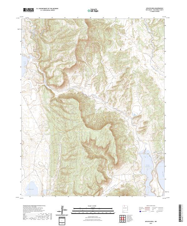
Layered geospatial PDF 7.5 Minute Quadrangle Map. Layers of geospatial data include orthoimagery, roads, grids, geographic names, elevation contours, hydrography, and other selected map features. This map is derived from GIS (geospatial information system) data. It represents a repackaging of GIS data in traditional map form, not creation of new information. The geospatial data in this map are from selected National Map data holdings and other government sources.
Tags: 7.5 x 7.5 minute,
Downloadable Data,
EarthCover,
Geospatial PDF,
Imagery and Base Maps, All tags...
Map,
New Mexico,
Public Land Survey System,
Rio Arriba County,
U.S. National Grid,
US,
US Topo,
US Topo Current,
boundary,
contour,
geographic names,
hydrography,
imageryBaseMapsEarthCover,
orthoimage,
structures,
topographic,
transportation,
woodland, Fewer tags
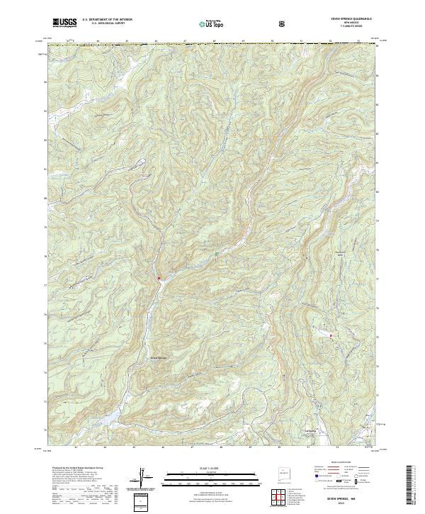
Layered geospatial PDF 7.5 Minute Quadrangle Map. Layers of geospatial data include orthoimagery, roads, grids, geographic names, elevation contours, hydrography, and other selected map features. This map is derived from GIS (geospatial information system) data. It represents a repackaging of GIS data in traditional map form, not creation of new information. The geospatial data in this map are from selected National Map data holdings and other government sources.
Tags: 7.5 x 7.5 minute,
Downloadable Data,
EarthCover,
Geospatial PDF,
Imagery and Base Maps, All tags...
Map,
New Mexico,
Public Land Survey System,
Rio Arriba County,
Sandoval County,
U.S. National Grid,
US,
US Topo,
US Topo Current,
boundary,
contour,
geographic names,
hydrography,
imageryBaseMapsEarthCover,
orthoimage,
structures,
topographic,
transportation,
woodland, Fewer tags
|
|