Filters
Date Range
Contacts
Tag Types
Tag Schemes
|
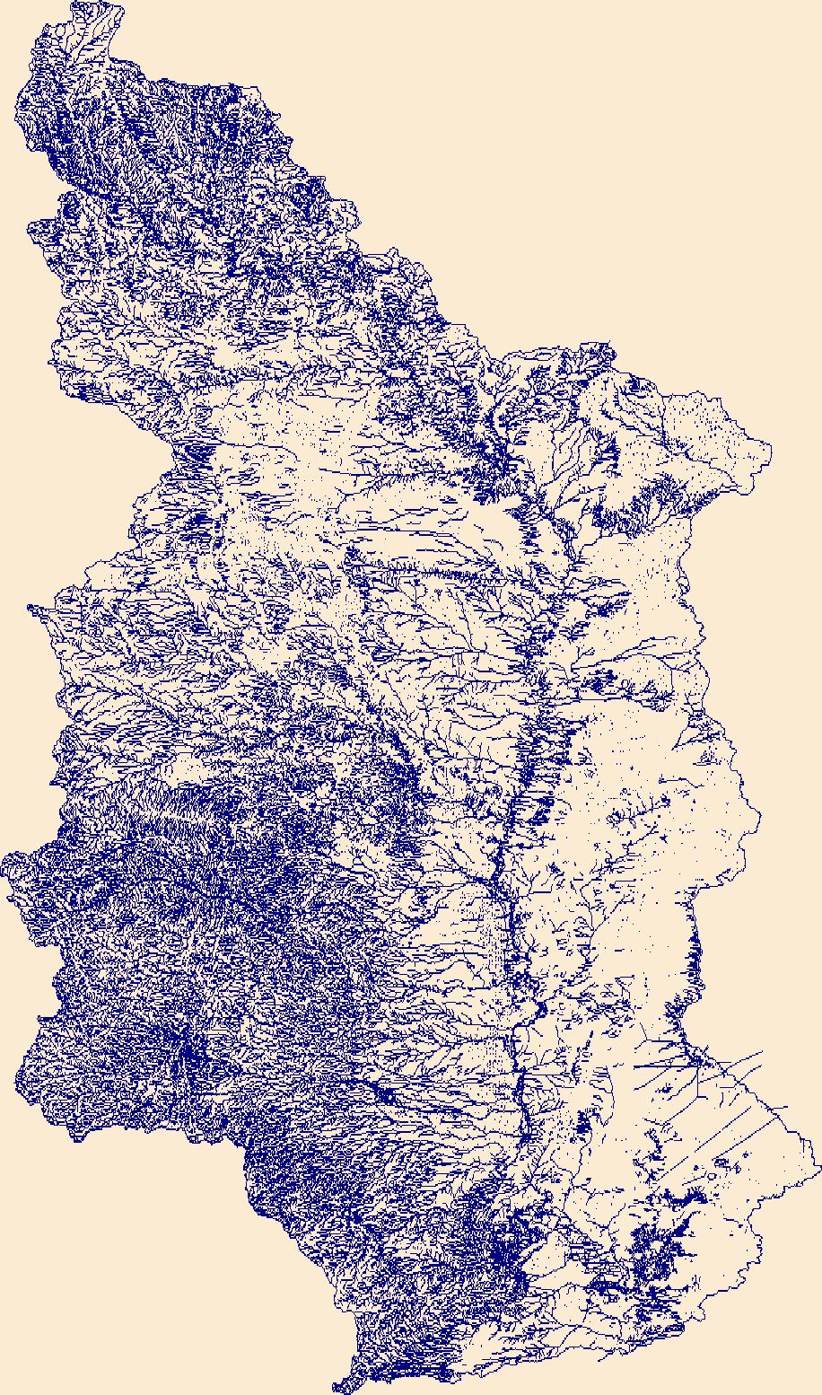
The High Resolution National Hydrography Dataset Plus (NHDPlus HR) is an integrated set of geospatial data layers, including the best available National Hydrography Dataset (NHD), the 10-meter 3D Elevation Program Digital Elevation Model (3DEP DEM), and the National Watershed Boundary Dataset (WBD). The NHDPlus HR combines the NHD, 3DEP DEMs, and WBD to create a stream network with linear referencing, feature naming, "value added attributes" (VAAs), elevation-derived catchments, and other features for hydrologic data analysis. The stream network with linear referencing is a system of data relationships applied to hydrographic systems so that one stream reach "flows" into another and "events" can be tied to and traced...
Tags: Chaves County,
Culberson County,
Curry County,
De Baca County,
Downloadable Data, All tags...
Eddy County,
FileGDB,
FileGDB 10.1,
Guadalupe County,
HU-4 Subregion,
HU-4 Subregion,
HU4_1306,
Hydrography,
Lea County,
Lincoln County,
Mora County,
NHDPlus HR Rasters,
NHDPlus High Resolution (NHDPlus HR),
NM,
National Hydrography Dataset (NHD),
National Hydrography Dataset Plus High Resolution (NHDPlus HR),
National Hydrography Dataset Plus High Resolution (NHDPlus HR) Current,
New Mexico,
Otero County,
Quay County,
Rio Arriba County,
Roosevelt County,
San Miguel County,
Santa Fe County,
TX,
Texas,
Torrance County,
US,
United States,
base maps,
cartography,
catchments,
channels,
digital elevation models,
drainage basins,
earth sciences,
elevation,
environment,
geographic information systems,
geoscientific,
geospatial analysis,
hydrographic datasets,
hydrographic features,
hydrology,
imagery,
inland waters,
lakes,
land surface characteristics,
reservoirs,
river reaches,
rivers,
streamflow,
streamflow data,
streams,
topography,
water bodies,
water quality,
water resources,
watersheds, Fewer tags
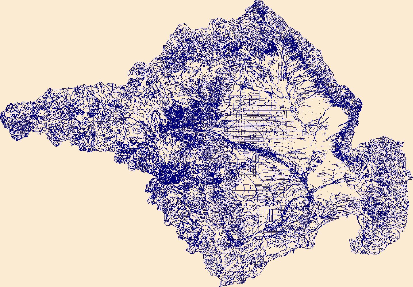
The High Resolution National Hydrography Dataset Plus (NHDPlus HR) is an integrated set of geospatial data layers, including the best available National Hydrography Dataset (NHD), the 10-meter 3D Elevation Program Digital Elevation Model (3DEP DEM), and the National Watershed Boundary Dataset (WBD). The NHDPlus HR combines the NHD, 3DEP DEMs, and WBD to create a stream network with linear referencing, feature naming, "value added attributes" (VAAs), elevation-derived catchments, and other features for hydrologic data analysis. The stream network with linear referencing is a system of data relationships applied to hydrographic systems so that one stream reach "flows" into another and "events" can be tied to and traced...
Tags: AZ,
Apache County,
Archuleta County,
Arizona,
CO, All tags...
Coconino County,
Colorado,
Conejos County,
Dolores County,
Downloadable Data,
FileGDB,
FileGDB 10.1,
HU-4 Subregion,
HU-4 Subregion,
HU4_1408,
Hinsdale County,
Hydrography,
Kane County,
La Plata County,
McKinley County,
Mineral County,
Montezuma County,
NHDPlus HR Rasters,
NHDPlus High Resolution (NHDPlus HR),
NM,
National Hydrography Dataset (NHD),
National Hydrography Dataset Plus High Resolution (NHDPlus HR),
National Hydrography Dataset Plus High Resolution (NHDPlus HR) Current,
Navajo County,
New Mexico,
Ouray County,
Rio Arriba County,
Rio Grande County,
San Juan County,
San Juan County,
San Juan County,
San Miguel County,
Sandoval County,
US,
UT,
United States,
Utah,
base maps,
cartography,
catchments,
channels,
digital elevation models,
drainage basins,
earth sciences,
elevation,
environment,
geographic information systems,
geoscientific,
geospatial analysis,
hydrographic datasets,
hydrographic features,
hydrology,
imagery,
inland waters,
lakes,
land surface characteristics,
reservoirs,
river reaches,
rivers,
streamflow,
streamflow data,
streams,
topography,
water bodies,
water quality,
water resources,
watersheds, Fewer tags
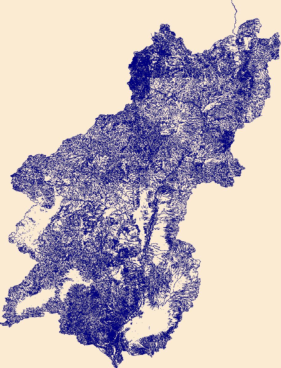
The Watershed Boundary Dataset (WBD) is a comprehensive aggregated collection of hydrologic unit data consistent with the national criteria for delineation and resolution. It defines the areal extent of surface water drainage to a point except in coastal or lake front areas where there could be multiple outlets as stated by the "Federal Standards and Procedures for the National Watershed Boundary Dataset (WBD)" "Standard" (https://pubs.usgs.gov/tm/11/a3/). Watershed boundaries are determined solely upon science-based hydrologic principles, not favoring any administrative boundaries or special projects, nor particular program or agency. This dataset represents the hydrologic unit boundaries to the 12-digit (6th level)...
Tags: 10-digit,
12-digit,
14-digit,
16-digit,
2-digit, All tags...
4-digit,
6-digit,
8-digit,
AZ,
Apache County,
Archuleta County,
Arizona,
Basin,
Boulder County,
CO,
Carbon County,
Chaffee County,
Clear Creek County,
Coconino County,
Colorado,
Conejos County,
Daggett County,
Delta County,
Dolores County,
Downloadable Data,
Duchesne County,
Eagle County,
Emery County,
Esri Shapefile,
Fremont County,
Garfield County,
Gilpin County,
Grand County,
Gunnison County,
HU-2,
HU-2 Region,
HU2_14,
HUC,
Hinsdale County,
Hydrography,
Hydrologic Unit Code,
Hydrologic Units,
Jackson County,
Kane County,
La Plata County,
Lake County,
Larimer County,
Lincoln County,
McKinley County,
Mesa County,
Mineral County,
Moffat County,
Montezuma County,
Montrose County,
NM,
National Watershed Boundary Dataset (WBD),
Navajo County,
New Mexico,
Ouray County,
Park County,
Pitkin County,
Piute County,
Region,
Rio Arriba County,
Rio Blanco County,
Rio Grande County,
Routt County,
Saguache County,
San Juan County,
San Miguel County,
Sandoval County,
Sanpete County,
Sevier County,
Shapefile,
Sub-basin,
Sub-region,
Sublette County,
Subwatershed,
Summit County,
Sweetwater County,
Teton County,
US,
UT,
Uinta County,
Uintah County,
United States,
Utah,
Utah County,
WBD,
WY,
Wasatch County,
Watershed,
Watershed Boundary Dataset,
Wayne County,
Wyoming,
inlandWaters, Fewer tags
The Watershed Boundary Dataset (WBD) is a comprehensive aggregated collection of hydrologic unit data consistent with the national criteria for delineation and resolution. It defines the areal extent of surface water drainage to a point except in coastal or lake front areas where there could be multiple outlets as stated by the "Federal Standards and Procedures for the National Watershed Boundary Dataset (WBD)" "Standard" (https://pubs.usgs.gov/tm/11/a3/). Watershed boundaries are determined solely upon science-based hydrologic principles, not favoring any administrative boundaries or special projects, nor particular program or agency. This dataset represents the hydrologic unit boundaries to the 12-digit (6th level)...
Tags: 10-digit,
12-digit,
14-digit,
16-digit,
2-digit, All tags...
4-digit,
6-digit,
8-digit,
AR,
Adair County,
Alamosa County,
Alfalfa County,
Allen County,
Anderson County,
Archer County,
Arkansas,
Armstrong County,
Atoka County,
Baca County,
Barber County,
Barry County,
Barton County,
Basin,
Baxter County,
Baylor County,
Beaver County,
Beckham County,
Bent County,
Benton County,
Bienville County,
Blaine County,
Boone County,
Bossier County,
Bourbon County,
Bowie County,
Briscoe County,
Bryan County,
Butler County,
CO,
Caddo County,
Camp County,
Canadian County,
Carroll County,
Carson County,
Carter County,
Cass County,
Castro County,
Chaffee County,
Chase County,
Chautauqua County,
Cherokee County,
Cheyenne County,
Childress County,
Choctaw County,
Christian County,
Cimarron County,
Claiborne County,
Clark County,
Clay County,
Cleburne County,
Cleveland County,
Coal County,
Coffey County,
Colfax County,
Collingsworth County,
Colorado,
Columbia County,
Comanche County,
Conway County,
Cooke County,
Costilla County,
Cottle County,
Cotton County,
Cowley County,
Craig County,
Crawford County,
Creek County,
Crosby County,
Crowley County,
Curry County,
Custer County,
Dade County,
Dallam County,
De Soto County,
Deaf Smith County,
Delaware County,
Delta County,
Dent County,
Dewey County,
Dickens County,
Donley County,
Douglas County,
Downloadable Data,
Eagle County,
Edwards County,
El Paso County,
Elbert County,
Elk County,
Ellis County,
Ellsworth County,
Fannin County,
Faulkner County,
Finney County,
Floyd County,
Foard County,
Ford County,
Franklin County,
Fremont County,
Fulton County,
Garfield County,
Garland County,
Garvin County,
GeoPackage,
Grady County,
Grant County,
Gray County,
Grayson County,
Greeley County,
Greene County,
Greenwood County,
Greer County,
Gregg County,
Guadalupe County,
Gunnison County,
HU-2,
HU-2 Region,
HU2_11,
HUC,
Hale County,
Hall County,
Hamilton County,
Hansford County,
Hardeman County,
Harding County,
Harmon County,
Harper County,
Harrison County,
Hartley County,
Harvey County,
Haskell County,
Hemphill County,
Hempstead County,
Hodgeman County,
Hopkins County,
Howard County,
Howell County,
Huerfano County,
Hughes County,
Hunt County,
Hutchinson County,
Hydrography,
Hydrologic Unit Code,
Hydrologic Units,
Independence County,
Iron County,
Izard County,
Jackson County,
Jasper County,
Jefferson County,
Johnson County,
Johnston County,
KS,
Kansas,
Kay County,
Kearny County,
King County,
Kingfisher County,
Kingman County,
Kiowa County,
Kit Carson County,
Knox County,
LA,
Labette County,
Lafayette County,
Lake County,
Lamar County,
Lane County,
Las Animas County,
Latimer County,
Lawrence County,
Le Flore County,
Lincoln County,
Lipscomb County,
Little River County,
Logan County,
Lonoke County,
Louisiana,
Love County,
Lyon County,
MO,
Madison County,
Major County,
Marion County,
Marshall County,
Mayes County,
McClain County,
McCurtain County,
McDonald County,
McIntosh County,
McPherson County,
Meade County,
Miller County,
Missouri,
Montague County,
Montgomery County,
Moore County,
Mora County,
Morris County,
Morton County,
Motley County,
Murray County,
Muskogee County,
NM,
Natchitoches County,
National Watershed Boundary Dataset (WBD),
Neosho County,
Ness County,
Nevada County,
New Mexico,
Newton County,
Noble County,
Nowata County,
OK,
Ochiltree County,
Okfuskee County,
Oklahoma,
Oklahoma County,
Okmulgee County,
Oldham County,
Open Geospatial Consortium GeoPackage 1.2,
Oregon County,
Osage County,
Otero County,
Ottawa County,
Ozark County,
Panola County,
Park County,
Parmer County,
Pawnee County,
Payne County,
Perry County,
Pike County,
Pitkin County,
Pittsburg County,
Polk County,
Pontotoc County,
Pope County,
Pottawatomie County,
Potter County,
Pratt County,
Prowers County,
Pueblo County,
Pulaski County,
Pushmataha County,
Quay County,
Randall County,
Randolph County,
Rapides County,
Red River County,
Region,
Reno County,
Reynolds County,
Rice County,
Rio Arriba County,
Ripley County,
Roberts County,
Roger Mills County,
Rogers County,
Rush County,
Sabine County,
Saguache County,
Saline County,
San Miguel County,
Scott County,
Searcy County,
Sebastian County,
Sedgwick County,
Seminole County,
Sequoyah County,
Sevier County,
Seward County,
Shannon County,
Sharp County,
Sherman County,
Stafford County,
Stanton County,
Stephens County,
Stevens County,
Stone County,
Sub-basin,
Sub-region,
Subwatershed,
Summit County,
Sumner County,
Swisher County,
TX,
Taney County,
Taos County,
Teller County,
Texas,
Texas County,
Tillman County,
Titus County,
Tulsa County,
US,
Union County,
United States,
Upshur County,
Van Buren County,
Vernon County,
WBD,
Wabaunsee County,
Wagoner County,
Washington County,
Washita County,
Watershed,
Watershed Boundary Dataset,
Wayne County,
Webster County,
Wheeler County,
White County,
Wichita County,
Wilbarger County,
Wilson County,
Winn County,
Wood County,
Woodruff County,
Woods County,
Woodson County,
Woodward County,
Wright County,
Yell County,
Young County,
inlandWaters, Fewer tags
The Watershed Boundary Dataset (WBD) is a comprehensive aggregated collection of hydrologic unit data consistent with the national criteria for delineation and resolution. It defines the areal extent of surface water drainage to a point except in coastal or lake front areas where there could be multiple outlets as stated by the "Federal Standards and Procedures for the National Watershed Boundary Dataset (WBD)" "Standard" (https://pubs.usgs.gov/tm/11/a3/). Watershed boundaries are determined solely upon science-based hydrologic principles, not favoring any administrative boundaries or special projects, nor particular program or agency. This dataset represents the hydrologic unit boundaries to the 12-digit (6th level)...
Tags: 10-digit,
12-digit,
14-digit,
16-digit,
2-digit, All tags...
4-digit,
6-digit,
8-digit,
Alamosa County,
Andrews County,
Archuleta County,
Basin,
Bernalillo County,
Brewster County,
CO,
Cameron County,
Catron County,
Chaffee County,
Chaves County,
Cibola County,
Colfax County,
Colorado,
Conejos County,
Costilla County,
Crane County,
Crockett County,
Culberson County,
Curry County,
Custer County,
De Baca County,
Dimmit County,
Downloadable Data,
Doña Ana County,
Ector County,
Eddy County,
Edwards County,
El Paso County,
Fremont County,
GeoPackage,
Grant County,
Guadalupe County,
HU-2,
HU-2 Region,
HU2_13,
HUC,
Hidalgo County,
Hinsdale County,
Hudspeth County,
Huerfano County,
Hydrography,
Hydrologic Unit Code,
Hydrologic Units,
Jeff Davis County,
Jim Hogg County,
Kinney County,
Las Animas County,
Lea County,
Lincoln County,
Los Alamos County,
Loving County,
Luna County,
Maverick County,
McKinley County,
Midland County,
Mineral County,
Mora County,
NM,
National Watershed Boundary Dataset (WBD),
New Mexico,
Open Geospatial Consortium GeoPackage 1.2,
Otero County,
Pecos County,
Presidio County,
Quay County,
Reagan County,
Reeves County,
Region,
Rio Arriba County,
Rio Grande County,
Roosevelt County,
Saguache County,
San Juan County,
San Miguel County,
Sandoval County,
Santa Fe County,
Schleicher County,
Sierra County,
Socorro County,
Starr County,
Sub-basin,
Sub-region,
Subwatershed,
Sutton County,
TX,
Taos County,
Terrell County,
Texas,
Torrance County,
US,
United States,
Upton County,
Val Verde County,
Valencia County,
WBD,
Ward County,
Watershed,
Watershed Boundary Dataset,
Webb County,
Winkler County,
Zapata County,
inlandWaters, Fewer tags
The High Resolution National Hydrography Dataset Plus (NHDPlus HR) is an integrated set of geospatial data layers, including the best available National Hydrography Dataset (NHD), the 10-meter 3D Elevation Program Digital Elevation Model (3DEP DEM), and the National Watershed Boundary Dataset (WBD). The NHDPlus HR combines the NHD, 3DEP DEMs, and WBD to create a stream network with linear referencing, feature naming, "value added attributes" (VAAs), elevation-derived catchments, and other features for hydrologic data analysis. The stream network with linear referencing is a system of data relationships applied to hydrographic systems so that one stream reach "flows" into another and "events" can be tied to and traced...
Tags: Alamosa County,
Archuleta County,
CO,
Chaffee County,
Colorado, All tags...
Conejos County,
Costilla County,
Custer County,
Downloadable Data,
FileGDB,
FileGDB 10.1,
Fremont County,
HU-4 Subregion,
HU-4 Subregion,
HU4_1301,
Hinsdale County,
Huerfano County,
Hydrography,
Las Animas County,
Mineral County,
NHDPlus HR Rasters,
NHDPlus High Resolution (NHDPlus HR),
NM,
National Hydrography Dataset (NHD),
National Hydrography Dataset Plus High Resolution (NHDPlus HR),
National Hydrography Dataset Plus High Resolution (NHDPlus HR) Current,
New Mexico,
Rio Arriba County,
Rio Grande County,
Saguache County,
San Juan County,
Taos County,
US,
United States,
base maps,
cartography,
catchments,
channels,
digital elevation models,
drainage basins,
earth sciences,
elevation,
environment,
geographic information systems,
geoscientific,
geospatial analysis,
hydrographic datasets,
hydrographic features,
hydrology,
imagery,
inland waters,
lakes,
land surface characteristics,
reservoirs,
river reaches,
rivers,
streamflow,
streamflow data,
streams,
topography,
water bodies,
water quality,
water resources,
watersheds, Fewer tags
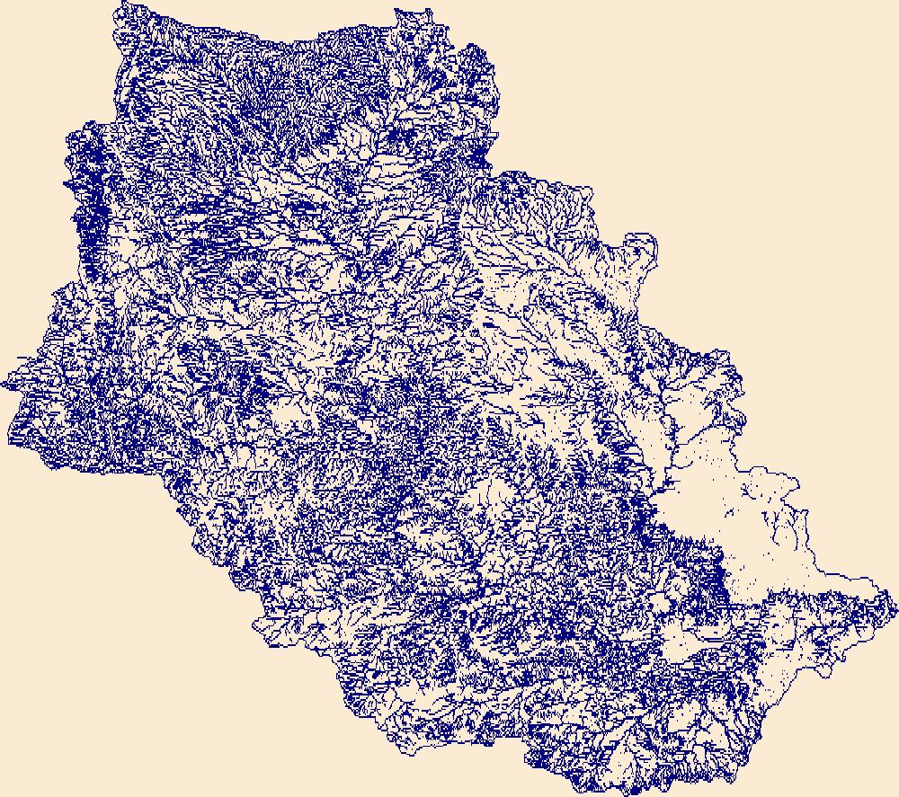
The Watershed Boundary Dataset (WBD) is a comprehensive aggregated collection of hydrologic unit data consistent with the national criteria for delineation and resolution. It defines the areal extent of surface water drainage to a point except in coastal or lake front areas where there could be multiple outlets as stated by the "Federal Standards and Procedures for the National Watershed Boundary Dataset (WBD)" "Standard" (https://pubs.usgs.gov/tm/11/a3/). Watershed boundaries are determined solely upon science-based hydrologic principles, not favoring any administrative boundaries or special projects, nor particular program or agency. This dataset represents the hydrologic unit boundaries to the 12-digit (6th level)...
Tags: 10-digit,
12-digit,
14-digit,
16-digit,
2-digit, All tags...
4-digit,
6-digit,
8-digit,
Alamosa County,
Andrews County,
Archuleta County,
Basin,
Bernalillo County,
Brewster County,
CO,
Cameron County,
Catron County,
Chaffee County,
Chaves County,
Cibola County,
Colfax County,
Colorado,
Conejos County,
Costilla County,
Crane County,
Crockett County,
Culberson County,
Curry County,
Custer County,
De Baca County,
Dimmit County,
Downloadable Data,
Doña Ana County,
Ector County,
Eddy County,
Edwards County,
El Paso County,
Esri Shapefile,
Fremont County,
Grant County,
Guadalupe County,
HU-2,
HU-2 Region,
HU2_13,
HUC,
Hidalgo County,
Hinsdale County,
Hudspeth County,
Huerfano County,
Hydrography,
Hydrologic Unit Code,
Hydrologic Units,
Jeff Davis County,
Jim Hogg County,
Kinney County,
Las Animas County,
Lea County,
Lincoln County,
Los Alamos County,
Loving County,
Luna County,
Maverick County,
McKinley County,
Midland County,
Mineral County,
Mora County,
NM,
National Watershed Boundary Dataset (WBD),
New Mexico,
Otero County,
Pecos County,
Presidio County,
Quay County,
Reagan County,
Reeves County,
Region,
Rio Arriba County,
Rio Grande County,
Roosevelt County,
Saguache County,
San Juan County,
San Miguel County,
Sandoval County,
Santa Fe County,
Schleicher County,
Shapefile,
Sierra County,
Socorro County,
Starr County,
Sub-basin,
Sub-region,
Subwatershed,
Sutton County,
TX,
Taos County,
Terrell County,
Texas,
Torrance County,
US,
United States,
Upton County,
Val Verde County,
Valencia County,
WBD,
Ward County,
Watershed,
Watershed Boundary Dataset,
Webb County,
Winkler County,
Zapata County,
inlandWaters, Fewer tags
The Watershed Boundary Dataset (WBD) is a comprehensive aggregated collection of hydrologic unit data consistent with the national criteria for delineation and resolution. It defines the areal extent of surface water drainage to a point except in coastal or lake front areas where there could be multiple outlets as stated by the "Federal Standards and Procedures for the National Watershed Boundary Dataset (WBD)" "Standard" (https://pubs.usgs.gov/tm/11/a3/). Watershed boundaries are determined solely upon science-based hydrologic principles, not favoring any administrative boundaries or special projects, nor particular program or agency. This dataset represents the hydrologic unit boundaries to the 12-digit (6th level)...
Tags: 10-digit,
12-digit,
14-digit,
16-digit,
2-digit, All tags...
4-digit,
6-digit,
8-digit,
AZ,
Apache County,
Archuleta County,
Arizona,
Basin,
Boulder County,
CO,
Carbon County,
Chaffee County,
Clear Creek County,
Coconino County,
Colorado,
Conejos County,
Daggett County,
Delta County,
Dolores County,
Downloadable Data,
Duchesne County,
Eagle County,
Emery County,
Esri File GeoDatabase 10,
FileGDB,
Fremont County,
Garfield County,
Gilpin County,
Grand County,
Gunnison County,
HU-2,
HU-2 Region,
HU2_14,
HUC,
Hinsdale County,
Hydrography,
Hydrologic Unit Code,
Hydrologic Units,
Jackson County,
Kane County,
La Plata County,
Lake County,
Larimer County,
Lincoln County,
McKinley County,
Mesa County,
Mineral County,
Moffat County,
Montezuma County,
Montrose County,
NM,
National Watershed Boundary Dataset (WBD),
Navajo County,
New Mexico,
Ouray County,
Park County,
Pitkin County,
Piute County,
Region,
Rio Arriba County,
Rio Blanco County,
Rio Grande County,
Routt County,
Saguache County,
San Juan County,
San Miguel County,
Sandoval County,
Sanpete County,
Sevier County,
Sub-basin,
Sub-region,
Sublette County,
Subwatershed,
Summit County,
Sweetwater County,
Teton County,
US,
UT,
Uinta County,
Uintah County,
United States,
Utah,
Utah County,
WBD,
WY,
Wasatch County,
Watershed,
Watershed Boundary Dataset,
Wayne County,
Wyoming,
inlandWaters, Fewer tags
The High Resolution National Hydrography Dataset Plus (NHDPlus HR) is an integrated set of geospatial data layers, including the best available National Hydrography Dataset (NHD), the 10-meter 3D Elevation Program Digital Elevation Model (3DEP DEM), and the National Watershed Boundary Dataset (WBD). The NHDPlus HR combines the NHD, 3DEP DEMs, and WBD to create a stream network with linear referencing, feature naming, "value added attributes" (VAAs), elevation-derived catchments, and other features for hydrologic data analysis. The stream network with linear referencing is a system of data relationships applied to hydrographic systems so that one stream reach "flows" into another and "events" can be tied to and traced...
Tags: Archuleta County,
Bernalillo County,
CO,
Catron County,
Cibola County, All tags...
Colfax County,
Colorado,
Conejos County,
Costilla County,
Downloadable Data,
FileGDB,
FileGDB 10.1,
HU-4 Subregion,
HU-4 Subregion,
HU4_1302,
Hydrography,
Lincoln County,
Los Alamos County,
McKinley County,
Mora County,
NHDPlus HR Rasters,
NHDPlus High Resolution (NHDPlus HR),
NM,
National Hydrography Dataset (NHD),
National Hydrography Dataset Plus High Resolution (NHDPlus HR),
National Hydrography Dataset Plus High Resolution (NHDPlus HR) Current,
New Mexico,
Rio Arriba County,
San Miguel County,
Sandoval County,
Santa Fe County,
Sierra County,
Socorro County,
Taos County,
Torrance County,
US,
United States,
Valencia County,
base maps,
cartography,
catchments,
channels,
digital elevation models,
drainage basins,
earth sciences,
elevation,
environment,
geographic information systems,
geoscientific,
geospatial analysis,
hydrographic datasets,
hydrographic features,
hydrology,
imagery,
inland waters,
lakes,
land surface characteristics,
reservoirs,
river reaches,
rivers,
streamflow,
streamflow data,
streams,
topography,
water bodies,
water quality,
water resources,
watersheds, Fewer tags
The Watershed Boundary Dataset (WBD) is a comprehensive aggregated collection of hydrologic unit data consistent with the national criteria for delineation and resolution. It defines the areal extent of surface water drainage to a point except in coastal or lake front areas where there could be multiple outlets as stated by the "Federal Standards and Procedures for the National Watershed Boundary Dataset (WBD)" "Standard" (https://pubs.usgs.gov/tm/11/a3/). Watershed boundaries are determined solely upon science-based hydrologic principles, not favoring any administrative boundaries or special projects, nor particular program or agency. This dataset represents the hydrologic unit boundaries to the 12-digit (6th level)...
Tags: 10-digit,
12-digit,
14-digit,
16-digit,
2-digit, All tags...
4-digit,
6-digit,
8-digit,
Alamosa County,
Andrews County,
Archuleta County,
Basin,
Bernalillo County,
Brewster County,
CO,
Cameron County,
Catron County,
Chaffee County,
Chaves County,
Cibola County,
Colfax County,
Colorado,
Conejos County,
Costilla County,
Crane County,
Crockett County,
Culberson County,
Curry County,
Custer County,
De Baca County,
Dimmit County,
Downloadable Data,
Doña Ana County,
Ector County,
Eddy County,
Edwards County,
El Paso County,
Esri File GeoDatabase 10,
FileGDB,
Fremont County,
Grant County,
Guadalupe County,
HU-2,
HU-2 Region,
HU2_13,
HUC,
Hidalgo County,
Hinsdale County,
Hudspeth County,
Huerfano County,
Hydrography,
Hydrologic Unit Code,
Hydrologic Units,
Jeff Davis County,
Jim Hogg County,
Kinney County,
Las Animas County,
Lea County,
Lincoln County,
Los Alamos County,
Loving County,
Luna County,
Maverick County,
McKinley County,
Midland County,
Mineral County,
Mora County,
NM,
National Watershed Boundary Dataset (WBD),
New Mexico,
Otero County,
Pecos County,
Presidio County,
Quay County,
Reagan County,
Reeves County,
Region,
Rio Arriba County,
Rio Grande County,
Roosevelt County,
Saguache County,
San Juan County,
San Miguel County,
Sandoval County,
Santa Fe County,
Schleicher County,
Sierra County,
Socorro County,
Starr County,
Sub-basin,
Sub-region,
Subwatershed,
Sutton County,
TX,
Taos County,
Terrell County,
Texas,
Torrance County,
US,
United States,
Upton County,
Val Verde County,
Valencia County,
WBD,
Ward County,
Watershed,
Watershed Boundary Dataset,
Webb County,
Winkler County,
Zapata County,
inlandWaters, Fewer tags
The Watershed Boundary Dataset (WBD) is a comprehensive aggregated collection of hydrologic unit data consistent with the national criteria for delineation and resolution. It defines the areal extent of surface water drainage to a point except in coastal or lake front areas where there could be multiple outlets as stated by the "Federal Standards and Procedures for the National Watershed Boundary Dataset (WBD)" "Standard" (https://pubs.usgs.gov/tm/11/a3/). Watershed boundaries are determined solely upon science-based hydrologic principles, not favoring any administrative boundaries or special projects, nor particular program or agency. This dataset represents the hydrologic unit boundaries to the 12-digit (6th level)...
Tags: 10-digit,
12-digit,
14-digit,
16-digit,
2-digit, All tags...
4-digit,
6-digit,
8-digit,
AR,
Adair County,
Alamosa County,
Alfalfa County,
Allen County,
Anderson County,
Archer County,
Arkansas,
Armstrong County,
Atoka County,
Baca County,
Barber County,
Barry County,
Barton County,
Basin,
Baxter County,
Baylor County,
Beaver County,
Beckham County,
Bent County,
Benton County,
Bienville County,
Blaine County,
Boone County,
Bossier County,
Bourbon County,
Bowie County,
Briscoe County,
Bryan County,
Butler County,
CO,
Caddo County,
Camp County,
Canadian County,
Carroll County,
Carson County,
Carter County,
Cass County,
Castro County,
Chaffee County,
Chase County,
Chautauqua County,
Cherokee County,
Cheyenne County,
Childress County,
Choctaw County,
Christian County,
Cimarron County,
Claiborne County,
Clark County,
Clay County,
Cleburne County,
Cleveland County,
Coal County,
Coffey County,
Colfax County,
Collingsworth County,
Colorado,
Columbia County,
Comanche County,
Conway County,
Cooke County,
Costilla County,
Cottle County,
Cotton County,
Cowley County,
Craig County,
Crawford County,
Creek County,
Crosby County,
Crowley County,
Curry County,
Custer County,
Dade County,
Dallam County,
De Soto County,
Deaf Smith County,
Delaware County,
Delta County,
Dent County,
Dewey County,
Dickens County,
Donley County,
Douglas County,
Downloadable Data,
Eagle County,
Edwards County,
El Paso County,
Elbert County,
Elk County,
Ellis County,
Ellsworth County,
Esri Shapefile,
Fannin County,
Faulkner County,
Finney County,
Floyd County,
Foard County,
Ford County,
Franklin County,
Fremont County,
Fulton County,
Garfield County,
Garland County,
Garvin County,
Grady County,
Grant County,
Gray County,
Grayson County,
Greeley County,
Greene County,
Greenwood County,
Greer County,
Gregg County,
Guadalupe County,
Gunnison County,
HU-2,
HU-2 Region,
HU2_11,
HUC,
Hale County,
Hall County,
Hamilton County,
Hansford County,
Hardeman County,
Harding County,
Harmon County,
Harper County,
Harrison County,
Hartley County,
Harvey County,
Haskell County,
Hemphill County,
Hempstead County,
Hodgeman County,
Hopkins County,
Howard County,
Howell County,
Huerfano County,
Hughes County,
Hunt County,
Hutchinson County,
Hydrography,
Hydrologic Unit Code,
Hydrologic Units,
Independence County,
Iron County,
Izard County,
Jackson County,
Jasper County,
Jefferson County,
Johnson County,
Johnston County,
KS,
Kansas,
Kay County,
Kearny County,
King County,
Kingfisher County,
Kingman County,
Kiowa County,
Kit Carson County,
Knox County,
LA,
Labette County,
Lafayette County,
Lake County,
Lamar County,
Lane County,
Las Animas County,
Latimer County,
Lawrence County,
Le Flore County,
Lincoln County,
Lipscomb County,
Little River County,
Logan County,
Lonoke County,
Louisiana,
Love County,
Lyon County,
MO,
Madison County,
Major County,
Marion County,
Marshall County,
Mayes County,
McClain County,
McCurtain County,
McDonald County,
McIntosh County,
McPherson County,
Meade County,
Miller County,
Missouri,
Montague County,
Montgomery County,
Moore County,
Mora County,
Morris County,
Morton County,
Motley County,
Murray County,
Muskogee County,
NM,
Natchitoches County,
National Watershed Boundary Dataset (WBD),
Neosho County,
Ness County,
Nevada County,
New Mexico,
Newton County,
Noble County,
Nowata County,
OK,
Ochiltree County,
Okfuskee County,
Oklahoma,
Oklahoma County,
Okmulgee County,
Oldham County,
Oregon County,
Osage County,
Otero County,
Ottawa County,
Ozark County,
Panola County,
Park County,
Parmer County,
Pawnee County,
Payne County,
Perry County,
Pike County,
Pitkin County,
Pittsburg County,
Polk County,
Pontotoc County,
Pope County,
Pottawatomie County,
Potter County,
Pratt County,
Prowers County,
Pueblo County,
Pulaski County,
Pushmataha County,
Quay County,
Randall County,
Randolph County,
Rapides County,
Red River County,
Region,
Reno County,
Reynolds County,
Rice County,
Rio Arriba County,
Ripley County,
Roberts County,
Roger Mills County,
Rogers County,
Rush County,
Sabine County,
Saguache County,
Saline County,
San Miguel County,
Scott County,
Searcy County,
Sebastian County,
Sedgwick County,
Seminole County,
Sequoyah County,
Sevier County,
Seward County,
Shannon County,
Shapefile,
Sharp County,
Sherman County,
Stafford County,
Stanton County,
Stephens County,
Stevens County,
Stone County,
Sub-basin,
Sub-region,
Subwatershed,
Summit County,
Sumner County,
Swisher County,
TX,
Taney County,
Taos County,
Teller County,
Texas,
Texas County,
Tillman County,
Titus County,
Tulsa County,
US,
Union County,
United States,
Upshur County,
Van Buren County,
Vernon County,
WBD,
Wabaunsee County,
Wagoner County,
Washington County,
Washita County,
Watershed,
Watershed Boundary Dataset,
Wayne County,
Webster County,
Wheeler County,
White County,
Wichita County,
Wilbarger County,
Wilson County,
Winn County,
Wood County,
Woodruff County,
Woods County,
Woodson County,
Woodward County,
Wright County,
Yell County,
Young County,
inlandWaters, Fewer tags
The High Resolution National Hydrography Dataset Plus (NHDPlus HR) is an integrated set of geospatial data layers, including the best available National Hydrography Dataset (NHD), the 10-meter 3D Elevation Program Digital Elevation Model (3DEP DEM), and the National Watershed Boundary Dataset (WBD). The NHDPlus HR combines the NHD, 3DEP DEMs, and WBD to create a stream network with linear referencing, feature naming, "value added attributes" (VAAs), elevation-derived catchments, and other features for hydrologic data analysis. The stream network with linear referencing is a system of data relationships applied to hydrographic systems so that one stream reach "flows" into another and "events" can be tied to and traced...
Tags: CO,
Colfax County,
Colorado,
Costilla County,
Downloadable Data, All tags...
FileGDB,
FileGDB 10.1,
Guadalupe County,
HU-4 Subregion,
HU-4 Subregion,
HU4_1108,
Harding County,
Hydrography,
Las Animas County,
Mora County,
NHDPlus HR Rasters,
NHDPlus High Resolution (NHDPlus HR),
NM,
National Hydrography Dataset (NHD),
National Hydrography Dataset Plus High Resolution (NHDPlus HR),
National Hydrography Dataset Plus High Resolution (NHDPlus HR) Current,
New Mexico,
Oldham County,
Quay County,
Rio Arriba County,
San Miguel County,
TX,
Taos County,
Texas,
US,
Union County,
United States,
base maps,
cartography,
catchments,
channels,
digital elevation models,
drainage basins,
earth sciences,
elevation,
environment,
geographic information systems,
geoscientific,
geospatial analysis,
hydrographic datasets,
hydrographic features,
hydrology,
imagery,
inland waters,
lakes,
land surface characteristics,
reservoirs,
river reaches,
rivers,
streamflow,
streamflow data,
streams,
topography,
water bodies,
water quality,
water resources,
watersheds, Fewer tags
The Watershed Boundary Dataset (WBD) is a comprehensive aggregated collection of hydrologic unit data consistent with the national criteria for delineation and resolution. It defines the areal extent of surface water drainage to a point except in coastal or lake front areas where there could be multiple outlets as stated by the "Federal Standards and Procedures for the National Watershed Boundary Dataset (WBD)" "Standard" (https://pubs.usgs.gov/tm/11/a3/). Watershed boundaries are determined solely upon science-based hydrologic principles, not favoring any administrative boundaries or special projects, nor particular program or agency. This dataset represents the hydrologic unit boundaries to the 12-digit (6th level)...
Tags: 10-digit,
12-digit,
14-digit,
16-digit,
2-digit, All tags...
4-digit,
6-digit,
8-digit,
AZ,
Apache County,
Archuleta County,
Arizona,
Basin,
Boulder County,
CO,
Carbon County,
Chaffee County,
Clear Creek County,
Coconino County,
Colorado,
Conejos County,
Daggett County,
Delta County,
Dolores County,
Downloadable Data,
Duchesne County,
Eagle County,
Emery County,
Fremont County,
Garfield County,
GeoPackage,
Gilpin County,
Grand County,
Gunnison County,
HU-2,
HU-2 Region,
HU2_14,
HUC,
Hinsdale County,
Hydrography,
Hydrologic Unit Code,
Hydrologic Units,
Jackson County,
Kane County,
La Plata County,
Lake County,
Larimer County,
Lincoln County,
McKinley County,
Mesa County,
Mineral County,
Moffat County,
Montezuma County,
Montrose County,
NM,
National Watershed Boundary Dataset (WBD),
Navajo County,
New Mexico,
Open Geospatial Consortium GeoPackage 1.2,
Ouray County,
Park County,
Pitkin County,
Piute County,
Region,
Rio Arriba County,
Rio Blanco County,
Rio Grande County,
Routt County,
Saguache County,
San Juan County,
San Miguel County,
Sandoval County,
Sanpete County,
Sevier County,
Sub-basin,
Sub-region,
Sublette County,
Subwatershed,
Summit County,
Sweetwater County,
Teton County,
US,
UT,
Uinta County,
Uintah County,
United States,
Utah,
Utah County,
WBD,
WY,
Wasatch County,
Watershed,
Watershed Boundary Dataset,
Wayne County,
Wyoming,
inlandWaters, Fewer tags
The Watershed Boundary Dataset (WBD) is a comprehensive aggregated collection of hydrologic unit data consistent with the national criteria for delineation and resolution. It defines the areal extent of surface water drainage to a point except in coastal or lake front areas where there could be multiple outlets as stated by the "Federal Standards and Procedures for the National Watershed Boundary Dataset (WBD)" "Standard" (https://pubs.usgs.gov/tm/11/a3/). Watershed boundaries are determined solely upon science-based hydrologic principles, not favoring any administrative boundaries or special projects, nor particular program or agency. This dataset represents the hydrologic unit boundaries to the 12-digit (6th level)...
Tags: 10-digit,
12-digit,
14-digit,
16-digit,
2-digit, All tags...
4-digit,
6-digit,
8-digit,
AR,
Adair County,
Alamosa County,
Alfalfa County,
Allen County,
Anderson County,
Archer County,
Arkansas,
Armstrong County,
Atoka County,
Baca County,
Barber County,
Barry County,
Barton County,
Basin,
Baxter County,
Baylor County,
Beaver County,
Beckham County,
Bent County,
Benton County,
Bienville County,
Blaine County,
Boone County,
Bossier County,
Bourbon County,
Bowie County,
Briscoe County,
Bryan County,
Butler County,
CO,
Caddo County,
Camp County,
Canadian County,
Carroll County,
Carson County,
Carter County,
Cass County,
Castro County,
Chaffee County,
Chase County,
Chautauqua County,
Cherokee County,
Cheyenne County,
Childress County,
Choctaw County,
Christian County,
Cimarron County,
Claiborne County,
Clark County,
Clay County,
Cleburne County,
Cleveland County,
Coal County,
Coffey County,
Colfax County,
Collingsworth County,
Colorado,
Columbia County,
Comanche County,
Conway County,
Cooke County,
Costilla County,
Cottle County,
Cotton County,
Cowley County,
Craig County,
Crawford County,
Creek County,
Crosby County,
Crowley County,
Curry County,
Custer County,
Dade County,
Dallam County,
De Soto County,
Deaf Smith County,
Delaware County,
Delta County,
Dent County,
Dewey County,
Dickens County,
Donley County,
Douglas County,
Downloadable Data,
Eagle County,
Edwards County,
El Paso County,
Elbert County,
Elk County,
Ellis County,
Ellsworth County,
Esri File GeoDatabase 10,
Fannin County,
Faulkner County,
FileGDB,
Finney County,
Floyd County,
Foard County,
Ford County,
Franklin County,
Fremont County,
Fulton County,
Garfield County,
Garland County,
Garvin County,
Grady County,
Grant County,
Gray County,
Grayson County,
Greeley County,
Greene County,
Greenwood County,
Greer County,
Gregg County,
Guadalupe County,
Gunnison County,
HU-2,
HU-2 Region,
HU2_11,
HUC,
Hale County,
Hall County,
Hamilton County,
Hansford County,
Hardeman County,
Harding County,
Harmon County,
Harper County,
Harrison County,
Hartley County,
Harvey County,
Haskell County,
Hemphill County,
Hempstead County,
Hodgeman County,
Hopkins County,
Howard County,
Howell County,
Huerfano County,
Hughes County,
Hunt County,
Hutchinson County,
Hydrography,
Hydrologic Unit Code,
Hydrologic Units,
Independence County,
Iron County,
Izard County,
Jackson County,
Jasper County,
Jefferson County,
Johnson County,
Johnston County,
KS,
Kansas,
Kay County,
Kearny County,
King County,
Kingfisher County,
Kingman County,
Kiowa County,
Kit Carson County,
Knox County,
LA,
Labette County,
Lafayette County,
Lake County,
Lamar County,
Lane County,
Las Animas County,
Latimer County,
Lawrence County,
Le Flore County,
Lincoln County,
Lipscomb County,
Little River County,
Logan County,
Lonoke County,
Louisiana,
Love County,
Lyon County,
MO,
Madison County,
Major County,
Marion County,
Marshall County,
Mayes County,
McClain County,
McCurtain County,
McDonald County,
McIntosh County,
McPherson County,
Meade County,
Miller County,
Missouri,
Montague County,
Montgomery County,
Moore County,
Mora County,
Morris County,
Morton County,
Motley County,
Murray County,
Muskogee County,
NM,
Natchitoches County,
National Watershed Boundary Dataset (WBD),
Neosho County,
Ness County,
Nevada County,
New Mexico,
Newton County,
Noble County,
Nowata County,
OK,
Ochiltree County,
Okfuskee County,
Oklahoma,
Oklahoma County,
Okmulgee County,
Oldham County,
Oregon County,
Osage County,
Otero County,
Ottawa County,
Ozark County,
Panola County,
Park County,
Parmer County,
Pawnee County,
Payne County,
Perry County,
Pike County,
Pitkin County,
Pittsburg County,
Polk County,
Pontotoc County,
Pope County,
Pottawatomie County,
Potter County,
Pratt County,
Prowers County,
Pueblo County,
Pulaski County,
Pushmataha County,
Quay County,
Randall County,
Randolph County,
Rapides County,
Red River County,
Region,
Reno County,
Reynolds County,
Rice County,
Rio Arriba County,
Ripley County,
Roberts County,
Roger Mills County,
Rogers County,
Rush County,
Sabine County,
Saguache County,
Saline County,
San Miguel County,
Scott County,
Searcy County,
Sebastian County,
Sedgwick County,
Seminole County,
Sequoyah County,
Sevier County,
Seward County,
Shannon County,
Sharp County,
Sherman County,
Stafford County,
Stanton County,
Stephens County,
Stevens County,
Stone County,
Sub-basin,
Sub-region,
Subwatershed,
Summit County,
Sumner County,
Swisher County,
TX,
Taney County,
Taos County,
Teller County,
Texas,
Texas County,
Tillman County,
Titus County,
Tulsa County,
US,
Union County,
United States,
Upshur County,
Van Buren County,
Vernon County,
WBD,
Wabaunsee County,
Wagoner County,
Washington County,
Washita County,
Watershed,
Watershed Boundary Dataset,
Wayne County,
Webster County,
Wheeler County,
White County,
Wichita County,
Wilbarger County,
Wilson County,
Winn County,
Wood County,
Woodruff County,
Woods County,
Woodson County,
Woodward County,
Wright County,
Yell County,
Young County,
inlandWaters, Fewer tags
|
|