Filters: Tags: Rio Grande (X)
404 results (78ms)|
Filters
Date Range
Extensions
Types Contacts
Categories Tag Types
|
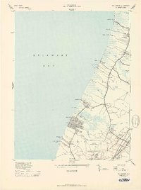
USGS Historical Quadrangle in GeoPDF.
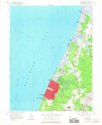
USGS Historical Quadrangle in GeoPDF.
Three separate hydrologic models were used to simulate storm runoff in the Hahn Arroyo Watershed, an urbanized watershed with concrete lined channels in the northeastern quadrant of Albuquerque, New Mexico that exhibits flashy, monsoonal-driven, storm runoff events. This data release contains the input and output files associated with the hydrologic simulations of each of the following models: Hydrologic Engineering Center Hydrologic Modeling System (HEC-HMS), Program for Predicting Polluting Particle Passage through Pits, Puddles and Ponds (P8), and Arid-Lands Hydrologic Model (AHYMO). The study was designed to compare three existing rainfall-runoff modeling software packages to determine which provided the best...
This child page contains the Arid-Lands Hydrologic Model (AHYMO) input and output data used in the model validation process during the validation period of the study described in the associated Scientific Investigations Report "Comparison of Storm Runoff Models for a Small Watershed in an Urban Metropolitan Area, Albuquerque, New Mexico" (Shephard and Douglas-Mankin, 2020). This model was used to simulate storm runoff in the Hahn Arroyo Watershed, an urbanized watershed with concrete lined channels in the northeastern quadrant of Albuquerque that exhibits flashy, monsoonal-driven storm runoff events. The model is described in detail in the associated SIR.
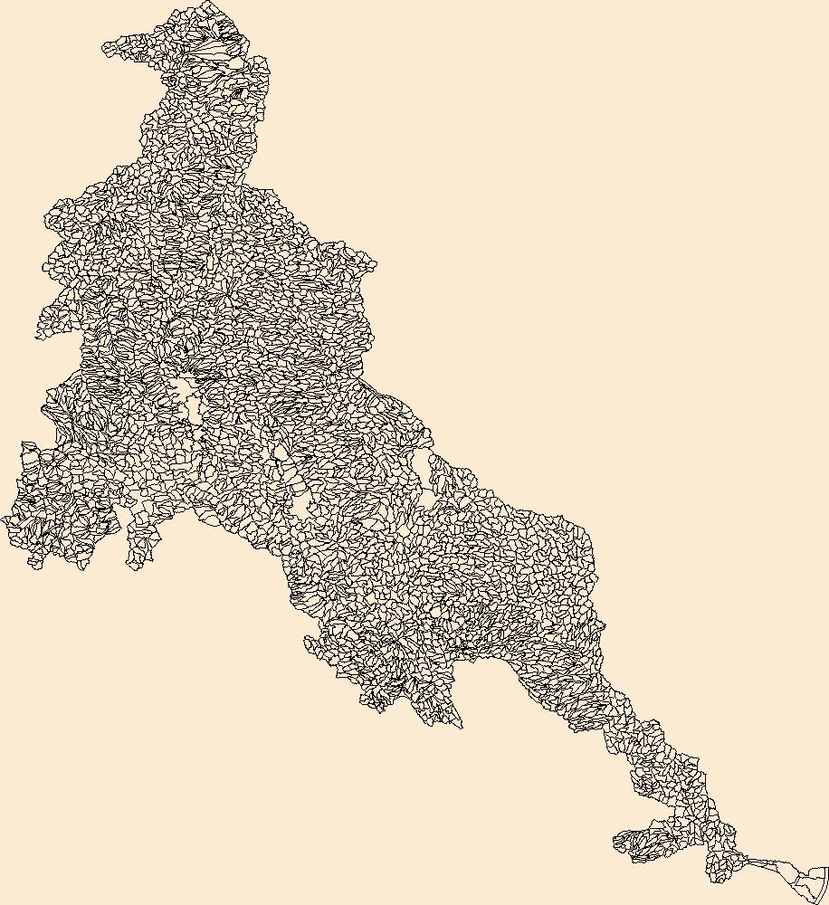
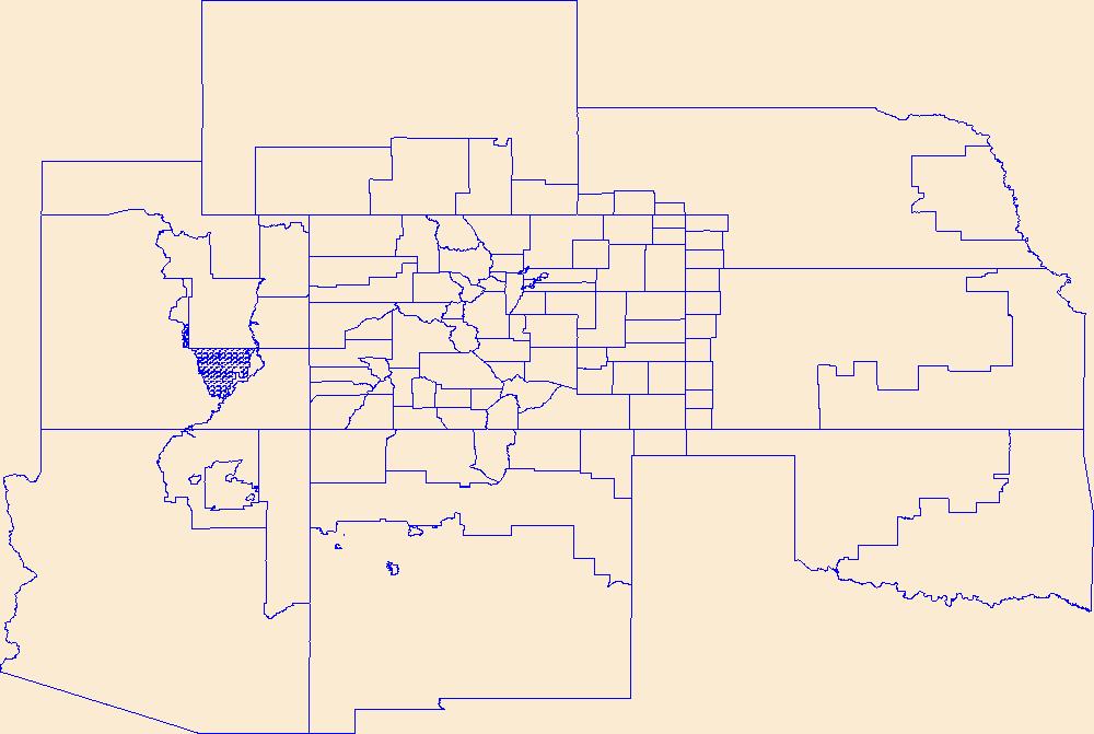
The Watershed Boundary Dataset (WBD) is a comprehensive aggregated collection of hydrologic unit data consistent with the national criteria for delineation and resolution. It defines the areal extent of surface water drainage to a point except in coastal or lake front areas where there could be multiple outlets as stated by the "Federal Standards and Procedures for the National Watershed Boundary Dataset (WBD)" "Standard" (https://pubs.usgs.gov/tm/11/a3/). Watershed boundaries are determined solely upon science-based hydrologic principles, not favoring any administrative boundaries or special projects, nor particular program or agency. This dataset represents the hydrologic unit boundaries to the 12-digit (6th level)...
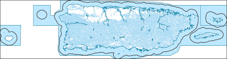
The National Hydrography Dataset (NHD) is a feature-based database that interconnects and uniquely identifies the stream segments or reaches that make up the nation's surface water drainage system. NHD data was originally developed at 1:100,000-scale and exists at that scale for the whole country. This high-resolution NHD, generally developed at 1:24,000/1:12,000 scale, adds detail to the original 1:100,000-scale NHD. (Data for Alaska, Puerto Rico and the Virgin Islands was developed at high-resolution, not 1:100,000 scale.) Local resolution NHD is being developed where partners and data exist. The NHD contains reach codes for networked features, flow direction, names, and centerline representations for areal water...
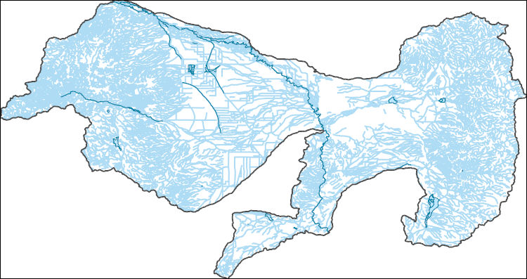
The National Hydrography Dataset (NHD) is a feature-based database that interconnects and uniquely identifies the stream segments or reaches that make up the nation's surface water drainage system. NHD data was originally developed at 1:100,000-scale and exists at that scale for the whole country. This high-resolution NHD, generally developed at 1:24,000/1:12,000 scale, adds detail to the original 1:100,000-scale NHD. (Data for Alaska, Puerto Rico and the Virgin Islands was developed at high-resolution, not 1:100,000 scale.) Local resolution NHD is being developed where partners and data exist. The NHD contains reach codes for networked features, flow direction, names, and centerline representations for areal water...
Geospatial data is comprised of government boundaries.
The Geographic Names Information System (GNIS) is the Federal standard for geographic nomenclature. The U.S. Geological Survey developed the GNIS for the U.S. Board on Geographic Names, a Federal inter-agency body chartered by public law to maintain uniform feature name usage throughout the Government and to promulgate standard names to the public. The GNIS is the official repository of domestic geographic names data; the official vehicle for geographic names use by all departments of the Federal Government; and the source for applying geographic names to Federal electronic and printed products of all types.
USGS Historical Quadrangle in GeoPDF.
Burn probability (BP) for Fireline Intensity Class 3 (FIL3) with flame lengths in the range of 1.2-1.8 m predicted for the 2020-2040 period in the Rio Grande area. This raster dataset was generated using: 1) data developed from the 2014 Fire Program Analysis (FPA) system; 2) geospatial Fire Simulation (FSim) system developed by the US Forest Service Missoula Fire Sciences Laboratory to estimate probabilistic components of wildfire risk (Finney et al. 2011); and 3) climate predictions developed using the Multivariate Adaptive Constructed Analogs (MACA) method (Abatzoglou and Brown 2011) which downscaled model output from the GFDL-ESM-2m global climate model of the Coupled Model Inter-Comparison Project 5 for the...
Categories: Data;
Types: ArcGIS REST Map Service,
ArcGIS Service Definition,
Downloadable,
Map Service;
Tags: burn probability,
fire,
fireline intensity,
future climate,
gis,
Burn probability (BP) for Fireline Intensity Class 5 (FIL5) with flame lengths in the range of 2.4-3.7 m predicted for the 2020-2040 period in the Rio Grande area. This raster dataset was generated using: 1) data developed from the 2014 Fire Program Analysis (FPA) system; 2) geospatial Fire Simulation (FSim) system developed by the US Forest Service Missoula Fire Sciences Laboratory to estimate probabilistic components of wildfire risk (Finney et al. 2011); and 3) climate predictions developed using the Multivariate Adaptive Constructed Analogs (MACA) method (Abatzoglou and Brown 2011) which downscaled model output from the GFDL-ESM-2m global climate model of the Coupled Model Inter-Comparison Project 5 for the...
Categories: Data;
Types: ArcGIS REST Map Service,
ArcGIS Service Definition,
Downloadable,
Map Service;
Tags: burn probability,
fire,
fireline intensity,
future climate,
gis,
In response to the rapid and dramatic hydroecological deterioration of the Rio Grande through Big Bend, the Big Bend Conservation Cooperative (BBCC), a multi-disciplinary group of natural resource agencies, research institutions, and conservation organizations have been organizing and implementing a wide range of river rehabilitation, scientific research activities and climate change initiatives. More recently, the Basin and Bay Expert Science Team, part of an environmental flows initiative by the state of Texas, is using best available science to recommend environmental flow regimes for the major rivers of Texas. Limited understating of the sediment dynamics of the Rio Grande and riparian vegetation change hinders...
This project inventories and reviews available water resource models used to meet multiple (and often competing) water resource management objectives. Water resource modeling tools have been developed for many different regions and sub-basins of the Rio Grande/Bravo (RGB). Each of these tools have specific objectives, whether it is to explore drought mitigation alternatives, conflict resolution, climate change evaluation, tradeoff and economic synergies, water allocation, reservoir operations, or collaborative planning. We specifically evaluate the applicability of those models to evaluating trade-offs in meeting societal and environmental flow requirements to recover native ecosystems. This work communicates the...
This is one of five general categories that contain the water related elements of the Rio Grande/Bravo basin. This category includes boundaries of the United States and Mexico as well as the States, Counties, and Municipalities that overlap with the basin boundary. This category includes also the extent and location of the cities within the basin and the current and historic population of such cities.
Categories: Data;
Types: Citation,
Downloadable,
Map Service,
OGC WFS Layer,
OGC WMS Layer,
Shapefile;
Tags: Boundaries,
Counties,
Country boundary,
Municipalities,
Rio Bravo,
The original distribution of the study species Physostegia correllii included freshwater floodplains of large rivers in the southcentral U.S. (Colorado, Rio Grande, Mississippi). Experiments to determine the effects of shading on P. correllii were conducted using short-term shade cloth treatments (full sunlight vs. 30% shading for 2-3 weeks). Mean height and cover responses of individuals were determined in conservation gardens located in Lafayette, Louisiana. Physostegia correllii plants were grown in shaded environments for 2.5 weeks.
This data set contains imagery from the National Agriculture Imagery Program (NAIP). The NAIP program is administered by USDA FSA and has been established to support two main FSA strategic goals centered on agricultural production. These are, increase stewardship of America's natural resources while enhancing the environment, and to ensure commodities are procured and distributed effectively and efficiently to increase food security. The NAIP program supports these goals by acquiring and providing ortho imagery that has been collected during the agricultural growing season in the U.S. The NAIP ortho imagery is tailored to meet FSA requirements and is a fundamental tool used to support FSA farm and conservation programs....
This data set contains imagery from the National Agriculture Imagery Program (NAIP). The NAIP program is administered by USDA FSA and has been established to support two main FSA strategic goals centered on agricultural production. These are, increase stewardship of America's natural resources while enhancing the environment, and to ensure commodities are procured and distributed effectively and efficiently to increase food security. The NAIP program supports these goals by acquiring and providing ortho imagery that has been collected during the agricultural growing season in the U.S. The NAIP ortho imagery is tailored to meet FSA requirements and is a fundamental tool used to support FSA farm and conservation programs....
This data set contains imagery from the National Agriculture Imagery Program (NAIP). The NAIP program is administered by USDA FSA and has been established to support two main FSA strategic goals centered on agricultural production. These are, increase stewardship of America's natural resources while enhancing the environment, and to ensure commodities are procured and distributed effectively and efficiently to increase food security. The NAIP program supports these goals by acquiring and providing ortho imagery that has been collected during the agricultural growing season in the U.S. The NAIP ortho imagery is tailored to meet FSA requirements and is a fundamental tool used to support FSA farm and conservation programs....
This data set contains imagery from the National Agriculture Imagery Program (NAIP). The NAIP program is administered by USDA FSA and has been established to support two main FSA strategic goals centered on agricultural production. These are, increase stewardship of America's natural resources while enhancing the environment, and to ensure commodities are procured and distributed effectively and efficiently to increase food security. The NAIP program supports these goals by acquiring and providing ortho imagery that has been collected during the agricultural growing season in the U.S. The NAIP ortho imagery is tailored to meet FSA requirements and is a fundamental tool used to support FSA farm and conservation programs....
|

|
