Filters: Tags: Rio Grande (X)
404 results (135ms)|
Filters
Date Range
Extensions
Types Contacts
Categories Tag Types
|
This data set contains imagery from the National Agriculture Imagery Program (NAIP). The NAIP program is administered by USDA FSA and has been established to support two main FSA strategic goals centered on agricultural production. These are, increase stewardship of America's natural resources while enhancing the environment, and to ensure commodities are procured and distributed effectively and efficiently to increase food security. The NAIP program supports these goals by acquiring and providing ortho imagery that has been collected during the agricultural growing season in the U.S. The NAIP ortho imagery is tailored to meet FSA requirements and is a fundamental tool used to support FSA farm and conservation programs....
This data set contains imagery from the National Agriculture Imagery Program (NAIP). The NAIP program is administered by USDA FSA and has been established to support two main FSA strategic goals centered on agricultural production. These are, increase stewardship of America's natural resources while enhancing the environment, and to ensure commodities are procured and distributed effectively and efficiently to increase food security. The NAIP program supports these goals by acquiring and providing ortho imagery that has been collected during the agricultural growing season in the U.S. The NAIP ortho imagery is tailored to meet FSA requirements and is a fundamental tool used to support FSA farm and conservation programs....
This dataset contains monthly pumping rates for municipal and industrial (MnI) wells in New Mexico within the Rio Grande Transboundary Integrated Hydrologic Model (RGTIHM) that were not included in other pumping rate datasets. In RGTIHM, these wells are considered the New Mexico Office of the State Engineer MnI (NMOSE_MnI) group. Monthly pumping rates are presented in units of cubic feet per day for the period from March 1940 through December 2014.
Categories: Data;
Tags: Caballo Reservoir,
Chihuahua,
El Paso,
Elephant Butte Reservoir,
Las Cruces,
This dataset contains the source information for pumping rates for municipal and industrial (MnI) wells in New Mexico within the Rio Grande Transboundary Integrated Hydrologic Model (RGTIHM). In RGTIHM, these wells are considered the Other New Mexico (ONM) group.
Categories: Data;
Tags: Caballo Reservoir,
Chihuahua,
El Paso,
Elephant Butte Reservoir,
Las Cruces,
This dataset includes the audio-magnetotelluric (AMT) sounding data collected in 2009 in and near the San Luis Basin, New Mexico. The U.S. Geological Survey conducted a series of multidisciplinary studies, including AMT surveys, in the San Luis Basin to improve understanding of the hydrogeology of the Santa Fe Group and the nature of the sedimentary deposits comprising the principal groundwater aquifers of the Rio Grande rift. The shallow unconfined and the deeper confined Santa Fe Group aquifers in the San Luis Basin are the main sources of municipal water for the region. The population of the San Luis Basin region is growing rapidly and water shortfalls could have serious consequences. Future growth and land management...
This dataset includes the audio-magnetotelluric (AMT) sounding data collected in 2009 in and near the San Luis Basin, New Mexico. The U.S. Geological Survey conducted a series of multidisciplinary studies, including AMT surveys, in the San Luis Basin to improve understanding of the hydrogeology of the Santa Fe Group and the nature of the sedimentary deposits comprising the principal groundwater aquifers of the Rio Grande rift. The shallow unconfined and the deeper confined Santa Fe Group aquifers in the San Luis Basin are the main sources of municipal water for the region. The population of the San Luis Basin region is growing rapidly and water shortfalls could have serious consequences. Future growth and land management...
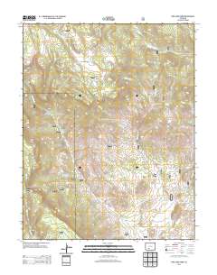
Layered GeoPDF 7.5 Minute Quadrangle Map. Layers of geospatial data include orthoimagery, roads, grids, geographic names, elevation contours, hydrography, and other selected map features.
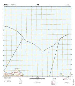
Layered GeoPDF Quadrangle Map. Layers of geospatial data include orthoimagery, roads, grids, geographic names, elevation contours, hydrography, and other selected map features.
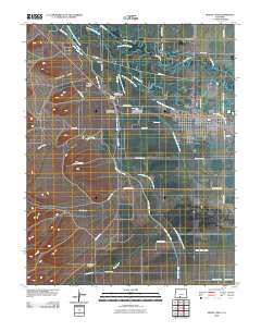
Layered GeoPDF 7.5 Minute Quadrangle Map. Layers of geospatial data include orthoimagery, roads, grids, geographic names, elevation contours, hydrography, and other selected map features.
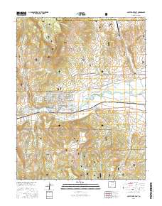
Layered geospatial PDF Map. Layers of geospatial data include orthoimagery, roads, grids, geographic names, elevation contours, hydrography, and other selected map features.
These data represent 2 years of plant clipping data in areas with elk plus bison and areas of elk only in the San Luis Valley of Colorado, USA from 2006-2008. Clipping plots were measured (clipped) in meadow sites, herbaceous riparian sites, and willow communities. We clipped 1/4 m2 (meter-squared) rings inside and outside of 1-m2 grazing cages, as well as within large ungulate exclosures that were 0.04 ha (hectares) in size.
Categories: Data;
Tags: Colorado,
Ecology,
Great Sand Dunes National Park,
Land Use Change,
Rio Grande,
This child page contains the requisite folder structure along with model input and output data used in the model validation process for two Hydrologic Engineering Center Hydrologic Modeling System (HEC-HMS) models during the validation period of the study detailed in the associated Scientific Investigations Report "Comparison of Storm Runoff Models for a Small Watershed in an Urban Metropolitan Area, Albuquerque, New Mexico" (Shephard and Douglas-Mankin, 2020). One model uses a curve-number (CN) based loss method approach, and the other model uses an initial and constant (IC) infiltration rate loss method. Each model was used to simulate storm runoff in the Hahn Arroyo Watershed, an urbanized watershed with concrete...
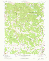
USGS Historical Quadrangle in GeoPDF.
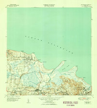
USGS Historical Quadrangle in GeoPDF.
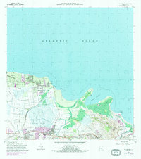
USGS Historical Quadrangle in GeoPDF.
Layers of geospatial data include roads, airports, trails, and railroads.
Geospatial data includes structures and other selected map features.
The U.S. Geological Survey Precipitation-Runoff Modeling System (PRMS) was used to assess the effects of changing climate and land disturbance on seasonal streamflow in the Rio Grande Headwaters (RGHW) region. Three applications of PRMS in the RGHW were used to simulate 1) baseline effects of climate (see RGHW-PRMS_baseline_input.zip), 2) effects of bark-beetle induced tree mortality (see RGHW-PRMS_BB_input.zip), and 3) effects of wildfire (see RGHW-PRMS_fire_input.zip), on components of the hydrologic cycle by hydrologic response unit (HRU) and subsequent seasonal streamflow runoff from April through September for water years 1980 through 2017. PRMS input files (control, climate-by-hru, data, parameter, dynamic...
Categories: Data;
Tags: Data Visualization & Tools,
Del Norte,
Rio Grande,
Rivers, Streams and Lakes,
Science Tools For Managers,
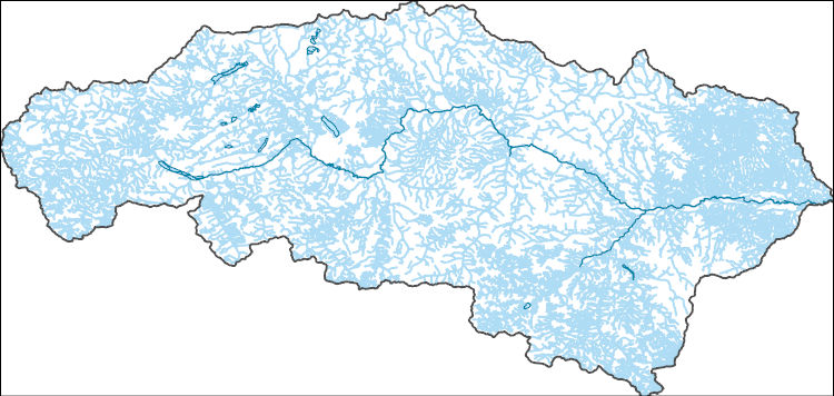
The National Hydrography Dataset (NHD) is a feature-based database that interconnects and uniquely identifies the stream segments or reaches that make up the nation's surface water drainage system. NHD data was originally developed at 1:100,000-scale and exists at that scale for the whole country. This high-resolution NHD, generally developed at 1:24,000/1:12,000 scale, adds detail to the original 1:100,000-scale NHD. (Data for Alaska, Puerto Rico and the Virgin Islands was developed at high-resolution, not 1:100,000 scale.) Local resolution NHD is being developed where partners and data exist. The NHD contains reach codes for networked features, flow direction, names, and centerline representations for areal water...
In regulated rivers of the southwest, reduced flooding and the invasion of tamarisk contributes to accumulation of greater fuel loads and increased riparian fire frequency. As a result, some desert riparian areas, historically considered barriers to wildfire, have been converted into pathways for wildfire spread. Fire-smart management strategies are needed to protect sensitive riparian species and reduce fire risk from increased fire frequency due to interactions of climate change, tamarisk invasion, and tamarisk beetle activity. Fire niche simulations will be used to project impacts of fire frequency and climate change, which can be used to highlight areas of the Desert LCC where Southwestern Willow Flycatcher,...
Categories: Data,
Project;
Types: Map Service,
OGC WFS Layer,
OGC WMS Layer,
OGC WMS Service;
Tags: 2014,
AZ-01,
AZ-02,
AZ-03,
AZ-04,
|

|
