Filters: Tags: Rivers (X) > Date Range: {"choice":"month"} (X)
31 results (150ms)|
Filters
Date Types (for Date Range)
Types
Contacts
Categories Tag Types
|

The High Resolution National Hydrography Dataset Plus (NHDPlus HR) is an integrated set of geospatial data layers, including the National Hydrography Dataset (NHD), National Watershed Boundary Dataset (WBD), and 3D Elevation Program Digital Elevation Model (3DEP DEM). The NHDPlus HR combines the NHD, 3DEP DEMs, and WBD to a data suite that includes the NHD stream network with linear referencing functionality, the WBD hydrologic units, elevation-derived catchment areas for each stream segment, "value added attributes" (VAAs), and other features that enhance hydrologic data analysis and routing.

The High Resolution National Hydrography Dataset Plus (NHDPlus HR) is an integrated set of geospatial data layers, including the National Hydrography Dataset (NHD), National Watershed Boundary Dataset (WBD), and 3D Elevation Program Digital Elevation Model (3DEP DEM). The NHDPlus HR combines the NHD, 3DEP DEMs, and WBD to a data suite that includes the NHD stream network with linear referencing functionality, the WBD hydrologic units, elevation-derived catchment areas for each stream segment, "value added attributes" (VAAs), and other features that enhance hydrologic data analysis and routing.

The High Resolution National Hydrography Dataset Plus (NHDPlus HR) is an integrated set of geospatial data layers, including the National Hydrography Dataset (NHD), National Watershed Boundary Dataset (WBD), and 3D Elevation Program Digital Elevation Model (3DEP DEM). The NHDPlus HR combines the NHD, 3DEP DEMs, and WBD to a data suite that includes the NHD stream network with linear referencing functionality, the WBD hydrologic units, elevation-derived catchment areas for each stream segment, "value added attributes" (VAAs), and other features that enhance hydrologic data analysis and routing.
Invertebrate, fish, and habitat data were collected as part of a cooperative project that began in 2002 between the U.S. Geological Survey, Colorado Springs Utilities, and Colorado Springs Engineering. Other entities have contributed to the project over the years including Colorado Parks and Wildlife. Habitat samples were collected and analyzed at 27 sites – 25 in the Fountain Creek Basin as well as two sites on the Arkansas River, El Paso and Pueblo Counties, Colorado. The number of sites sampled each year as well as the number of annual visits during which data were collected, and sampling methods used during each visit vary. The habitat data were collected between 2002 and 2023 and is intended to be updated annually...
Categories: Data;
Tags: Aquatic biology,
Benthic environments,
Colorado,
Community ecology,
Ecology,
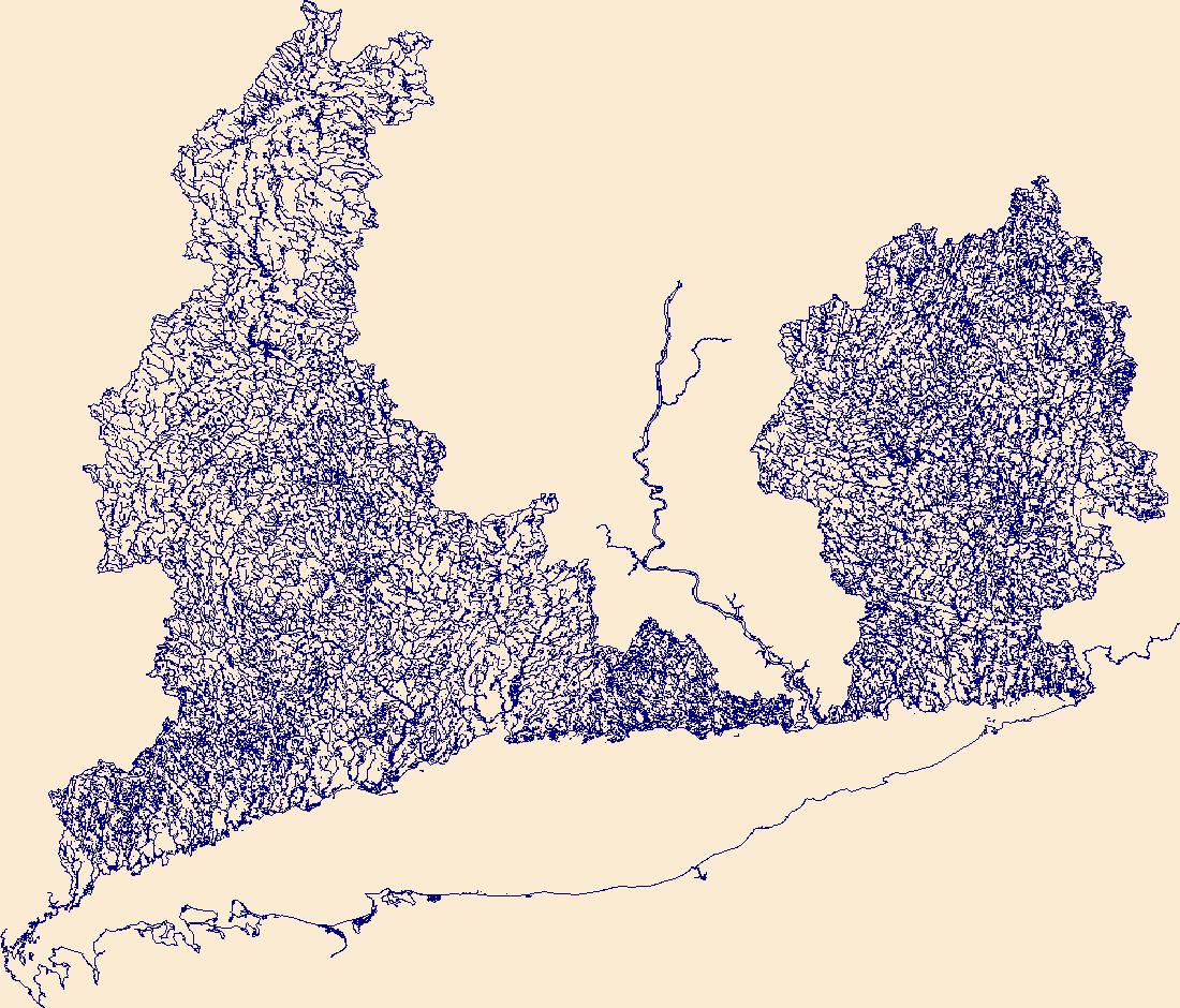
The High Resolution National Hydrography Dataset Plus (NHDPlus HR) is an integrated set of geospatial data layers, including the National Hydrography Dataset (NHD), National Watershed Boundary Dataset (WBD), and 3D Elevation Program Digital Elevation Model (3DEP DEM). The NHDPlus HR combines the NHD, 3DEP DEMs, and WBD to a data suite that includes the NHD stream network with linear referencing functionality, the WBD hydrologic units, elevation-derived catchment areas for each stream segment, "value added attributes" (VAAs), and other features that enhance hydrologic data analysis and routing.
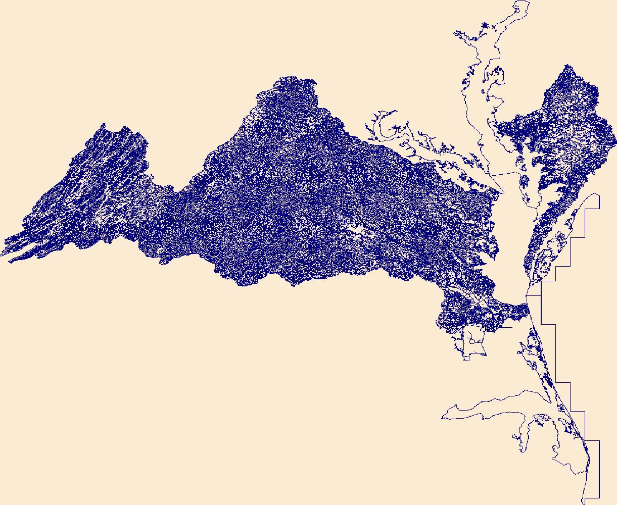
The High Resolution National Hydrography Dataset Plus (NHDPlus HR) is an integrated set of geospatial data layers, including the National Hydrography Dataset (NHD), National Watershed Boundary Dataset (WBD), and 3D Elevation Program Digital Elevation Model (3DEP DEM). The NHDPlus HR combines the NHD, 3DEP DEMs, and WBD to a data suite that includes the NHD stream network with linear referencing functionality, the WBD hydrologic units, elevation-derived catchment areas for each stream segment, "value added attributes" (VAAs), and other features that enhance hydrologic data analysis and routing.

The High Resolution National Hydrography Dataset Plus (NHDPlus HR) is an integrated set of geospatial data layers, including the National Hydrography Dataset (NHD), National Watershed Boundary Dataset (WBD), and 3D Elevation Program Digital Elevation Model (3DEP DEM). The NHDPlus HR combines the NHD, 3DEP DEMs, and WBD to a data suite that includes the NHD stream network with linear referencing functionality, the WBD hydrologic units, elevation-derived catchment areas for each stream segment, "value added attributes" (VAAs), and other features that enhance hydrologic data analysis and routing.
This dataset includes benthic algae community composition data in the Colorado River near Cameo, Colorado, from 2022-23. Benthic algae were identified as genus or species, and biomass and biovolume were provided for taxa. Data collection was funded by the U.S. Geological Survey Water Mission Area as part of the Next Generation Water Observing System Upper Colorado River project.
Invertebrate, fish, and habitat data were collected as part of a cooperative project that began in 2002 between the U.S. Geological Survey, Colorado Springs Utilities, and Colorado Springs Engineering. Other entities have contributed to the project over the years including Colorado Parks and Wildlife. Fish samples were collected and analyzed at 12 sites in the Fountain Creek Basin, El Paso and Pueblo Counties, Colorado. The number of sites sampled each year as well as the number of annual visits during which data were collected, and sampling methods used during each visit vary. The fish data were collected between 2003 and 2023 and is intended to be updated annually as new data are collected and available. Users...

The High Resolution National Hydrography Dataset Plus (NHDPlus HR) is an integrated set of geospatial data layers, including the National Hydrography Dataset (NHD), National Watershed Boundary Dataset (WBD), and 3D Elevation Program Digital Elevation Model (3DEP DEM). The NHDPlus HR combines the NHD, 3DEP DEMs, and WBD to a data suite that includes the NHD stream network with linear referencing functionality, the WBD hydrologic units, elevation-derived catchment areas for each stream segment, "value added attributes" (VAAs), and other features that enhance hydrologic data analysis and routing.

The High Resolution National Hydrography Dataset Plus (NHDPlus HR) is an integrated set of geospatial data layers, including the National Hydrography Dataset (NHD), National Watershed Boundary Dataset (WBD), and 3D Elevation Program Digital Elevation Model (3DEP DEM). The NHDPlus HR combines the NHD, 3DEP DEMs, and WBD to a data suite that includes the NHD stream network with linear referencing functionality, the WBD hydrologic units, elevation-derived catchment areas for each stream segment, "value added attributes" (VAAs), and other features that enhance hydrologic data analysis and routing.
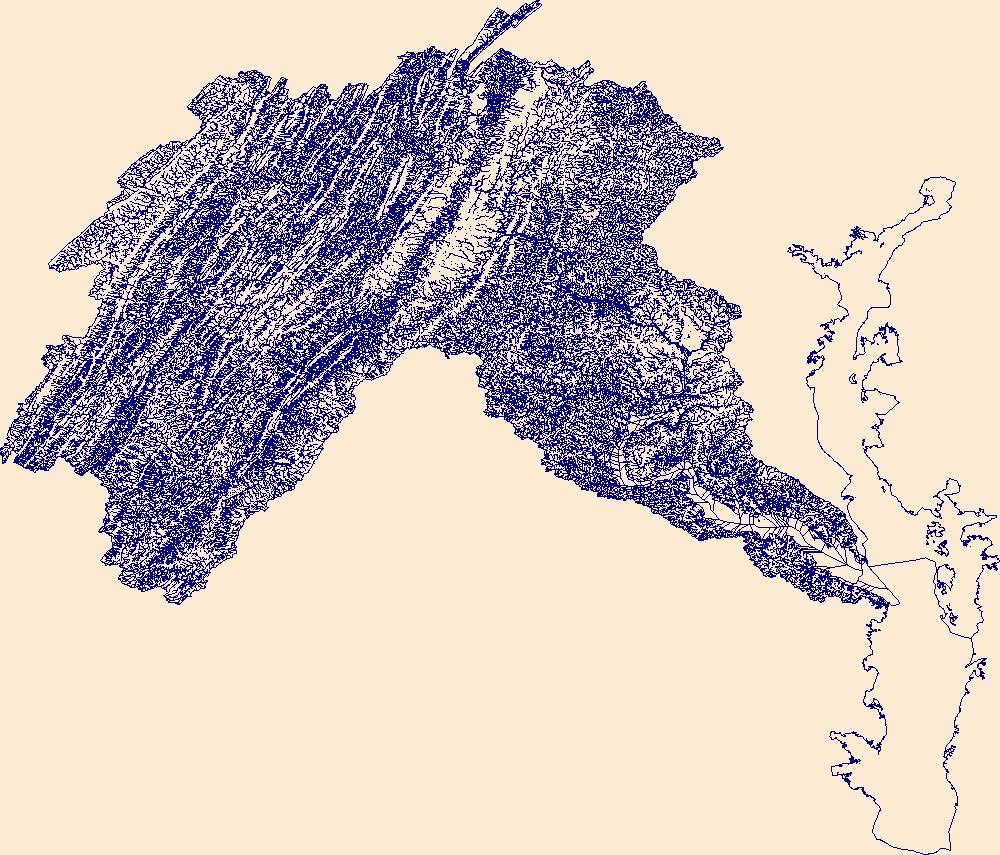
The High Resolution National Hydrography Dataset Plus (NHDPlus HR) is an integrated set of geospatial data layers, including the National Hydrography Dataset (NHD), National Watershed Boundary Dataset (WBD), and 3D Elevation Program Digital Elevation Model (3DEP DEM). The NHDPlus HR combines the NHD, 3DEP DEMs, and WBD to a data suite that includes the NHD stream network with linear referencing functionality, the WBD hydrologic units, elevation-derived catchment areas for each stream segment, "value added attributes" (VAAs), and other features that enhance hydrologic data analysis and routing.
Phosphorus, nitrogen, and suspended-sediment loads, in 24 U.S. tributaries of the Great Lakes, were calculated using U.S. Geological Survey (USGS) data from the Great Lakes Restoration Initiative (GLRI) monitoring program for the period Oct 2010 through Sept 2020 (USGS water years 2011–2020). Total phosphorus, orthophosphate, particulate phosphorus, total nitrogen, nitrate plus nitrite, ammonium plus ammonia, and suspended-sediment loads and changes in loads were determined by applying a weighted regression approach called WRTDS (Weighted Regression on Time, Discharge, and Season). The load results represent the total mass of nitrogen, phosphorus, and suspended sediment exported downstream at each tributary site....
Categories: Data;
Types: Map Service,
OGC WFS Layer,
OGC WMS Layer,
OGC WMS Service;
Tags: Great Lakes Watershed,
Indiana,
Kalman filtering,
Michigan,
Minnesota,
High-frequency observations of surface water at fine spatial scales are critical to effectively manage aquatic habitat, flood risk and water quality. We developed inundation algorithms for Sentinel-1 and Sentinel-2 across 12 sites within the conterminous United States (CONUS) covering >536,000 km2 and representing diverse hydrologic and vegetation landscapes. These algorithms were trained on data from 13,412 points spread throughout the 12 sites. Each scene in the 5-year (2017-2021) time series was classified into open water, vegetated water, and non-water at 20 m resolution using variables not only from Sentinel-1 and Sentinel-2, but also variables derived from topographic and weather datasets. The Sentinel-1 model...
Invertebrate, fish, and habitat data were collected as part of a cooperative project that began in 2002 between the U.S. Geological Survey, Colorado Springs Utilities, and Colorado Springs Engineering. Other entities have contributed to the project over the years including Colorado Parks and Wildlife. Data were primarily collected from up to 35 sites – 33 sites within the Fountain Creek Basin but also from two sites on the Arkansas River. The number of sites sampled each year as well as the number of annual visits during which data were collected, and sampling methods used during each visit vary. Data were collected between 2002 and 2023 and is intended to be updated annually as new data are collected and available....
Categories: Data;
Tags: Aquatic biology,
Benthic environments,
Colorado,
Community ecology,
Ecology,
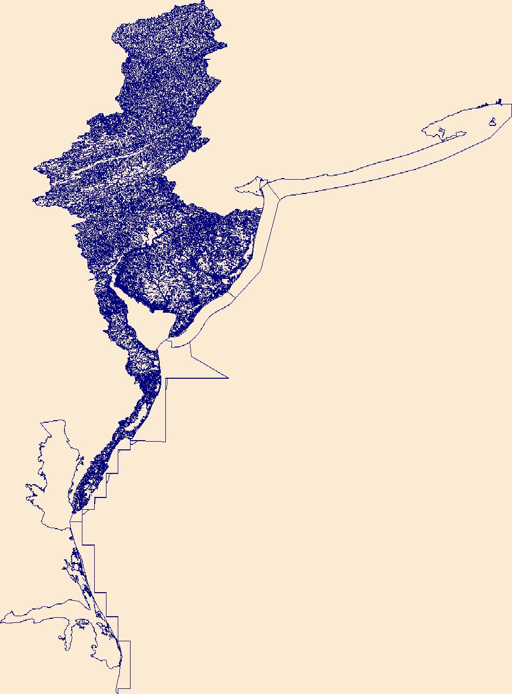
The High Resolution National Hydrography Dataset Plus (NHDPlus HR) is an integrated set of geospatial data layers, including the National Hydrography Dataset (NHD), National Watershed Boundary Dataset (WBD), and 3D Elevation Program Digital Elevation Model (3DEP DEM). The NHDPlus HR combines the NHD, 3DEP DEMs, and WBD to a data suite that includes the NHD stream network with linear referencing functionality, the WBD hydrologic units, elevation-derived catchment areas for each stream segment, "value added attributes" (VAAs), and other features that enhance hydrologic data analysis and routing.

The High Resolution National Hydrography Dataset Plus (NHDPlus HR) is an integrated set of geospatial data layers, including the National Hydrography Dataset (NHD), National Watershed Boundary Dataset (WBD), and 3D Elevation Program Digital Elevation Model (3DEP DEM). The NHDPlus HR combines the NHD, 3DEP DEMs, and WBD to a data suite that includes the NHD stream network with linear referencing functionality, the WBD hydrologic units, elevation-derived catchment areas for each stream segment, "value added attributes" (VAAs), and other features that enhance hydrologic data analysis and routing.
Invertebrate, fish, and habitat data were collected as part of a cooperative project that began in 2002 between the U.S. Geological Survey, Colorado Springs Utilities, and Colorado Springs Engineering. Other entities have contributed to the project over the years including Colorado Parks and Wildlife. Invertebrate samples were collected and analyzed at 34 sites – 32 sites in the Fountain Creek Basin as well as two sites on the Arkansas River, El Paso and Pueblo Counties, Colorado. The number of sites sampled each year as well as the number of annual visits during which data were collected, and sampling methods used during each visit vary. The invertebrate data were collected between 2005 and 2023 and is intended...
Categories: Data;
Tags: Aquatic biology,
Benthic environments,
Colorado,
Community ecology,
Ecology,
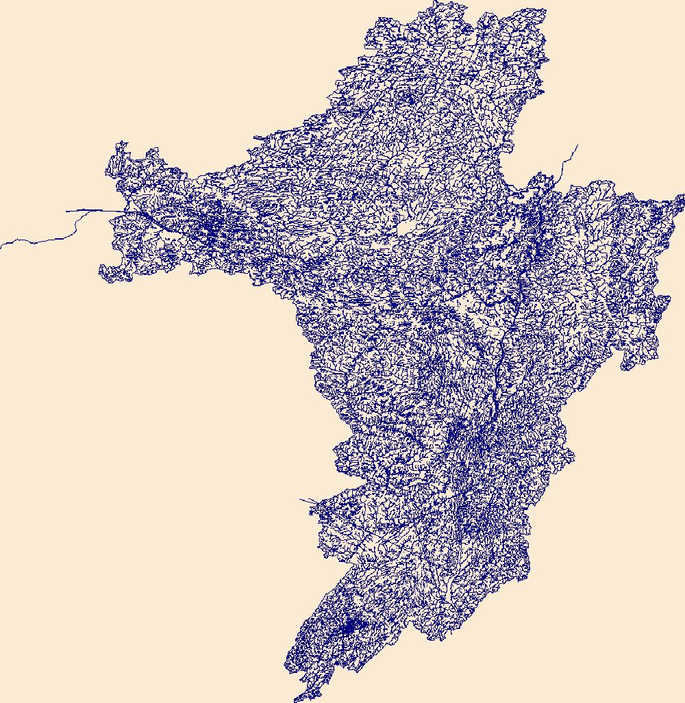
The High Resolution National Hydrography Dataset Plus (NHDPlus HR) is an integrated set of geospatial data layers, including the National Hydrography Dataset (NHD), National Watershed Boundary Dataset (WBD), and 3D Elevation Program Digital Elevation Model (3DEP DEM). The NHDPlus HR combines the NHD, 3DEP DEMs, and WBD to a data suite that includes the NHD stream network with linear referencing functionality, the WBD hydrologic units, elevation-derived catchment areas for each stream segment, "value added attributes" (VAAs), and other features that enhance hydrologic data analysis and routing.
This service definition contains landscape factors representing human disturbances summarized to local and network catchments of river reaches for the state of Arizona. This dataset is the result of clipping the feature class 'NFHAP 2010 HCI Scores and Human Disturbance Data for the Conterminous United States linked to NHDPLUSV1.gdb' to the state boundary of Arizona. Landscape factors include land uses, population density, roads, dams, mines, and point-source pollution sites. The source datasets that were compiled and attributed to catchments were identified as being: (1) meaningful for assessing fish habitat; (2) consistent across the entire study area in the way that they were assembled; (3) representative of...
Categories: Data;
Types: ArcGIS REST Map Service,
ArcGIS Service Definition,
Downloadable,
Map Service;
Tags: Anthropogenic factors,
Anthropogenic factors,
Aquatic habitats,
Aquatic habitats,
Atlantic Coast FHP,
|

|