Filters: Tags: Riverside (X)
968 results (76ms)|
Filters
Date Range
Extensions Types Contacts
Categories Tag Types Tag Schemes |
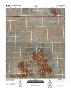
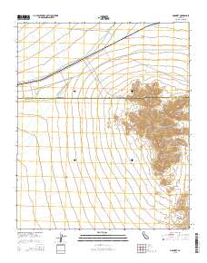
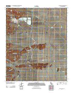
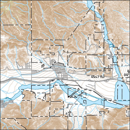
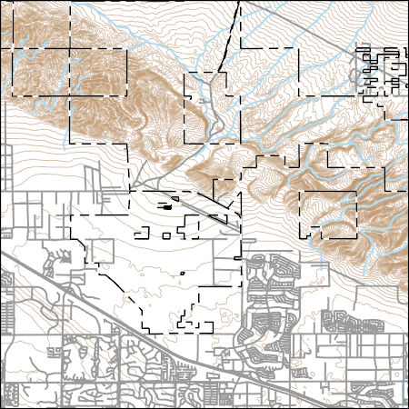
Layered GeoPDF 7.5 Minute Quadrangle Map. Layers of geospatial data include orthoimagery, roads, grids, geographic names, elevation contours, hydrography, and other selected map features.
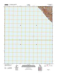
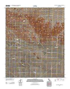
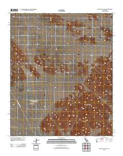
Layered GeoPDF 7.5 Minute Quadrangle Map. Layers of geospatial data include orthoimagery, roads, grids, geographic names, elevation contours, hydrography, and other selected map features.
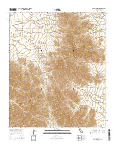
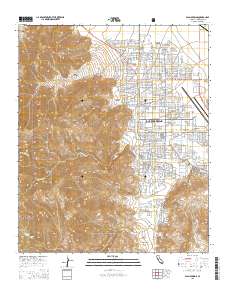
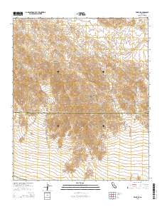
Layered GeoPDF 7.5 Minute Quadrangle Map. Layers of geospatial data include orthoimagery, roads, grids, geographic names, elevation contours, hydrography, and other selected map features.
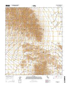
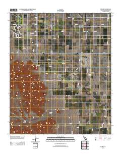
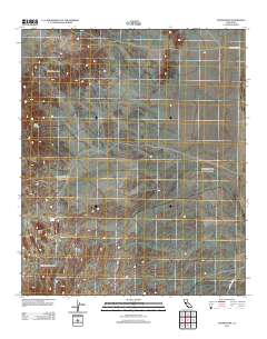
Layered GeoPDF 7.5 Minute Quadrangle Map. Layers of geospatial data include orthoimagery, roads, grids, geographic names, elevation contours, hydrography, and other selected map features.
Layered GeoPDF 7.5 Minute Quadrangle Map. Layers of geospatial data include orthoimagery, roads, grids, geographic names, elevation contours, hydrography, and other selected map features.
Layered GeoPDF 7.5 Minute Quadrangle Map. Layers of geospatial data include orthoimagery, roads, grids, geographic names, elevation contours, hydrography, and other selected map features.
Layered GeoPDF 7.5 Minute Quadrangle Map. Layers of geospatial data include orthoimagery, roads, grids, geographic names, elevation contours, hydrography, and other selected map features.
Layered GeoPDF 7.5 Minute Quadrangle Map. Layers of geospatial data include orthoimagery, roads, grids, geographic names, elevation contours, hydrography, and other selected map features.
Layered GeoPDF 7.5 Minute Quadrangle Map. Layers of geospatial data include orthoimagery, roads, grids, geographic names, elevation contours, hydrography, and other selected map features.
Layered GeoPDF 7.5 Minute Quadrangle Map. Layers of geospatial data include orthoimagery, roads, grids, geographic names, elevation contours, hydrography, and other selected map features.
Layered GeoPDF 7.5 Minute Quadrangle Map. Layers of geospatial data include orthoimagery, roads, grids, geographic names, elevation contours, hydrography, and other selected map features.
Layered GeoPDF 7.5 Minute Quadrangle Map. Layers of geospatial data include orthoimagery, roads, grids, geographic names, elevation contours, hydrography, and other selected map features.
This Geologic Map Schema (GeMS) database contains all the geologic map information used to publish the Preliminary Bedrock Geologic Map of the Blythe 30' x 60' Quadrangle, California and Arizona, U.S. Geological Survey Open-File Report 2021-1097. The Blythe 30' x 60' quadrangle in southeastern California and southwestern Arizona displays complex geology that includes Mesozoic contractional deformation, metamorphism, and magmatism and Cenozoic extensional deformation and magmatism. The scope of the present map is limited to bedrock units of Miocene and older age because the younger deposits have not been mapped in sufficient detail across the quadrangle to support a systematic compilation. This geologic map database...
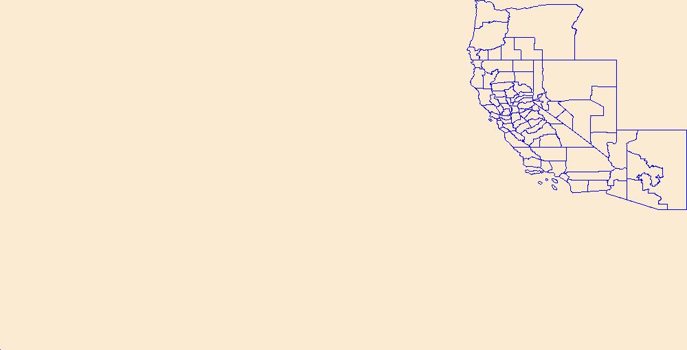
USGS National Boundary Dataset (NBD) in California State or Territory (published 20240215) Shapefile
Geospatial data is comprised of government boundaries.

Layers of geospatial data include contours, boundaries, land cover, hydrography, roads, transportation, geographic names, structures, and other selected map features.
Layers of geospatial data include contours, boundaries, land cover, hydrography, roads, transportation, geographic names, structures, and other selected map features.
Layers of geospatial data include contours, boundaries, land cover, hydrography, roads, transportation, geographic names, structures, and other selected map features.
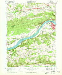
USGS Historical Quadrangle in GeoPDF.
The Cahuilla Valley and Terwilliger Valley groundwater basins, 9-006 and 7-026 respectively (California Department of Water Resources 2016) located approximately 25 miles southwest of Palm Springs, are the sole-source for groundwater supply for the rural disadvantaged community and two Native American Tribes, the Ramona Band of Cahuilla and the Cahuilla. The characteristics and sustainable yield of the Cahuilla Valley and Terwilliger Valley groundwater basins are not well understood and are threatened by increasing water use and potential changes in water sustainability related to climate change. Previous USGS studies of the Cahuilla-Terwilliger Valley groundwater basins defined the thicknesses and characteristics...
Categories: Data;
Tags: Anza,
California,
California Water Science Center,
Electrical Resistivity Tomography,
Riverside,
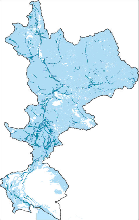
The National Hydrography Dataset (NHD) is a feature-based database that interconnects and uniquely identifies the stream segments or reaches that make up the nation's surface water drainage system. NHD data was originally developed at 1:100,000-scale and exists at that scale for the whole country. This high-resolution NHD, generally developed at 1:24,000/1:12,000 scale, adds detail to the original 1:100,000-scale NHD. (Data for Alaska, Puerto Rico and the Virgin Islands was developed at high-resolution, not 1:100,000 scale.) Local resolution NHD is being developed where partners and data exist. The NHD contains reach codes for networked features, flow direction, names, and centerline representations for areal water...
|

|
