Filters: Tags: SAN GREGORIO (X)
13 results (42ms)|
Filters
Date Range
Extensions Types Contacts
Categories Tag Types Tag Schemes |
This data set contains imagery from the National Agriculture Imagery Program (NAIP). The NAIP program is administered by USDA FSA and has been established to support two main FSA strategic goals centered on agricultural production. These are, increase stewardship of America's natural resources while enhancing the environment, and to ensure commodities are procured and distributed effectively and efficiently to increase food security. The NAIP program supports these goals by acquiring and providing ortho imagery that has been collected during the agricultural growing season in the U.S. The NAIP ortho imagery is tailored to meet FSA requirements and is a fundamental tool used to support FSA farm and conservation programs....

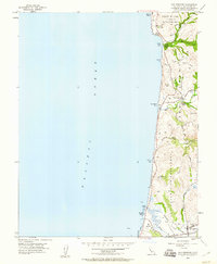
USGS Historical Quadrangle in GeoPDF.
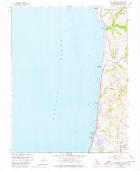
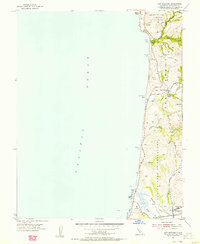
USGS Historical Quadrangle in GeoPDF.
High-resolution single-channel Chirp and minisparker seismic-reflection data were collected by the U.S. Geological Survey in March and April 2007, offshore San Mateo County, California. Data were collected aboard the R/V Fulmar during field activity F-02-07-NC. Chirp data were collected using an EdgeTech 512 chirp subbottom system and were recorded with a Triton SB-Logger. Minisparker data were collected using a SIG 2-mille minisparker sound source combined with a single-channel streamer, and both were recorded with a Triton SB-Logger.
Categories: Data;
Types: Downloadable,
Map Service,
OGC WFS Layer,
OGC WMS Layer,
Shapefile;
Tags: Bathymetry and Elevation,
CMHRP,
Coastal and Marine Hazards and Resources Program,
Elevation,
Geophysics,
This data set contains imagery from the National Agriculture Imagery Program (NAIP). The NAIP program is administered by USDA FSA and has been established to support two main FSA strategic goals centered on agricultural production. These are, increase stewardship of America's natural resources while enhancing the environment, and to ensure commodities are procured and distributed effectively and efficiently to increase food security. The NAIP program supports these goals by acquiring and providing ortho imagery that has been collected during the agricultural growing season in the U.S. The NAIP ortho imagery is tailored to meet FSA requirements and is a fundamental tool used to support FSA farm and conservation programs....
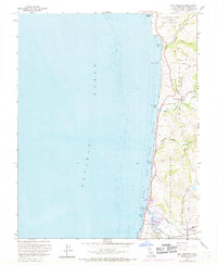
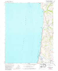
USGS Historical Quadrangle in GeoPDF.
USGS Historical Quadrangle in GeoPDF.

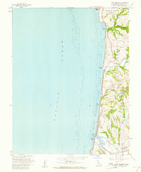
USGS Historical Quadrangle in GeoPDF.
USGS Historical Quadrangle in GeoPDF.
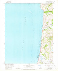
USGS Historical Quadrangle in GeoPDF.
USGS Historical Quadrangle in GeoPDF.
USGS Historical Quadrangle in GeoPDF.
High-resolution single-channel minisparker seismic-reflection data were collected by the U.S. Geological Survey in March and April 2007 from San Francisco to San Gregorio, offshore San Mateo County, California. Data were collected aboard the R/V Fulmar, during field activity F-02-07-NC. Minisparker data were collected using a SIG 2-mille minisparker sound source combined with a single-channel streamer, and recorded with a Triton SB-Logger.
Categories: Data;
Types: Downloadable,
Map Service,
OGC WFS Layer,
OGC WMS Layer,
Shapefile;
Tags: Bathymetry and Elevation,
CMHRP,
Coastal and Marine Hazards and Resources Program,
Elevation,
North Pacific Ocean,
|

|
