Filters: Tags: SOLOMON (X)
31 results (103ms)|
Filters
Date Range
Types Contacts
Categories Tag Types Tag Schemes |
ADMMR map collection: Vermiculite, Index Map Southwest Arizona; 1 in. to 27.5 miles; 9 x 11 in.

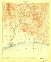
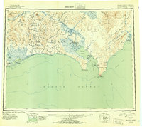
USGS Historical Quadrangle in GeoPDF.
ADMMR map collection: Vermiculite, Cash Flow Recap Schedule; 23 x 12 in.
ADMMR map collection: Vermiculite, Solomon Mines Proposed Drill Holes; 1 in. to 200 feet; 23 x 18 in.

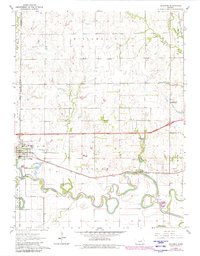
USGS Historical Quadrangle in GeoPDF.
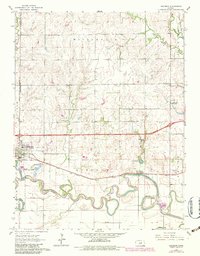
USGS Historical Quadrangle in GeoPDF.
ADMMR map collection: Vermiculite, Process Plant Flow Sheet; 1 in. to 4 feet; 36 x 19 in.
This data set contains imagery from the National Agriculture Imagery Program (NAIP). The NAIP program is administered by USDA FSA and has been established to support two main FSA strategic goals centered on agricultural production. These are, increase stewardship of America's natural resources while enhancing the environment, and to ensure commodities are procured and distributed effectively and efficiently to increase food security. The NAIP program supports these goals by acquiring and providing ortho imagery that has been collected during the agricultural growing season in the U.S. The NAIP ortho imagery is tailored to meet FSA requirements and is a fundamental tool used to support FSA farm and conservation programs....
ADMMR map collection: Vermiculite, Surface Map Portion of Solomon Mines Property; 1 in. to 200 feet; 15 x 13 in.

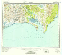
USGS Historical Quadrangle in GeoPDF.
USGS Historical Quadrangle in GeoPDF.
This data set contains imagery from the National Agriculture Imagery Program (NAIP). The NAIP program is administered by USDA FSA and has been established to support two main FSA strategic goals centered on agricultural production. These are, increase stewardship of America's natural resources while enhancing the environment, and to ensure commodities are procured and distributed effectively and efficiently to increase food security. The NAIP program supports these goals by acquiring and providing ortho imagery that has been collected during the agricultural growing season in the U.S. The NAIP ortho imagery is tailored to meet FSA requirements and is a fundamental tool used to support FSA farm and conservation programs....
Aerial photographs of the coastline from Nome to Elim were collected on August 23, 2015. The photographs were processed using Structure-from-Motion (SfM) photogrammetric techniques. Global Positioning System (GPS) checkpoints were collected via a Global Navigation Satellite System (GNSS) survey conducted between August 15 and September 14, 2015. For the purposes of open access to elevation and orthoimagery datasets in coastal regions of Alaska, this collection is being released as a Raw Data File with an open end-user license. This file is a single-band, 32-bit float DSM (digital surface model) which represents surface elevations of buildings, vegetation, and uncovered ground surfaces in meters with 20 cm GSD. The...
USGS Historical Quadrangle in GeoPDF.
USGS Historical Quadrangle in GeoPDF.
ADMMR map collection: Vermiculite Workings; 19 x 13 in.
USGS Historical Quadrangle in GeoPDF.
ADMMR map collection: Erection Details, "Flow-Matic" Bulk Feed Storage Tank 12 Ft. Dia. - All Models; 23 x 14 in.
This data set contains imagery from the National Agriculture Imagery Program (NAIP). The NAIP program is administered by USDA FSA and has been established to support two main FSA strategic goals centered on agricultural production. These are, increase stewardship of America's natural resources while enhancing the environment, and to ensure commodities are procured and distributed effectively and efficiently to increase food security. The NAIP program supports these goals by acquiring and providing ortho imagery that has been collected during the agricultural growing season in the U.S. The NAIP ortho imagery is tailored to meet FSA requirements and is a fundamental tool used to support FSA farm and conservation programs....

USGS Historical Quadrangle in GeoPDF.
|

|
