Filters: Tags: Sagavanirktok (X)
12 results (93ms)|
Filters
Date Range
Contacts
Categories Tag Types Tag Schemes
|
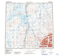
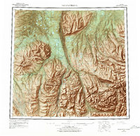
USGS Historical Quadrangle in GeoPDF.
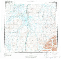
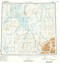
USGS Historical Quadrangle in GeoPDF.

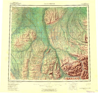
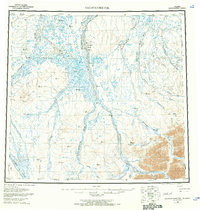
USGS Historical Quadrangle in GeoPDF.
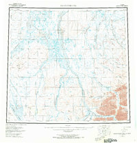
USGS Historical Quadrangle in GeoPDF.

USGS Historical Quadrangle in GeoPDF.
This map shows the distribution of unconsolidated deposits and undifferentiated bedrock exposed at the surface in the Sagavanirktok A-3, A-4, B-3, B-4, and portions of the Sagavanirktok A-5 and B-5 quadrangles. Units were mapped by interpretation of stereo pairs of approximately 1:65,000-scale false-color infrared aerial photographs taken in June and August 1978, as well as 2.5 m and 10 m resolution SPOT imagery collected in 2009 and 2010. Fieldwork was completed in 2008.
Core Research Center, core F002, from well operated by USGSRaw Properties from download, web scrape, MapServer, and Macrostrat API{"Lib Num": "F002", "API Num": "5022320021", "Operator": "USGS", "Well Name": "FRANKLIN BLUFFS NO. 1", "Field": "EXPLORATORY", "State": "AK", "County": "NORTH SLOPE", "Type": "SLABBED", "Photos": "T", "Thin Sec": "F", "Analysis": "T", "Latitude": "69.71851", "Longitude": "-148.69685", "coordinates_geohash": "bsqk87f7b20r", "Source": "FROM STATE RECORDS", "Security Flag": null, "crc_collection_name": "core", "sb_parent_id": "4f4e49dae4b07f02db5e0486", "intervals": [{"Formation": "SAGAVANIRKTOK", "Age": "TERTIARY", "Min Depth": "974", "Max Depth": "1613"}, {"Formation": "SAGAVANIRKTOK",...

USGS Historical Quadrangle in GeoPDF.
USGS Historical Quadrangle in GeoPDF.
USGS Historical Quadrangle in GeoPDF.
USGS Historical Quadrangle in GeoPDF.
USGS Historical Quadrangle in GeoPDF.
|

|
