Filters: Tags: Saguache County (X)
694 results (95ms)|
Filters
Date Range
Extensions Types Contacts
Categories Tag Types
|
Unnamed trib draining lower Lke at trail crossing near conflu with Medano Crk- Great Sand Dunes Preserve
SAGUACHE CREEK NEAR SAGUACHE, CO
SAGUACHE CREEK NEAR SAGUACHE, CO
SAGUACHE CREEK NEAR SAGUACHE, CO
SAGUACHE CREEK NEAR SAGUACHE, CO
Sand Creek approx. 2.8km SE of Lower Sand Crk. Lake-Great Sand Dunes Preserve
Sand Creek approx. 2.8km SE of Lower Sand Crk. Lake-Great Sand Dunes Preserve
Sand Creek approx. 2.8km SE of Lower Sand Crk. Lake-Great Sand Dunes Preserve
Approx. 4.3 km NW of Music Pass Trail Head- Great Sand Dunes Preserve
Sand Creek Approx. 4.3 km NW of Music Pass Trail Head GSDP
Sand Creek Approx. 4.3 km NW of Music Pass Trail Head GSDP
SAGUACHE CREEK NEAR SAGUACHE, CO
Lulan creek, FR984, Colorado trail, off HWY 114
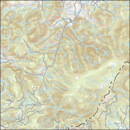
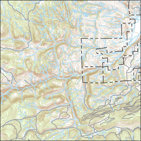
Layers of geospatial data include contours, boundaries, land cover, hydrography, roads, transportation, geographic names, structures, and other selected map features.
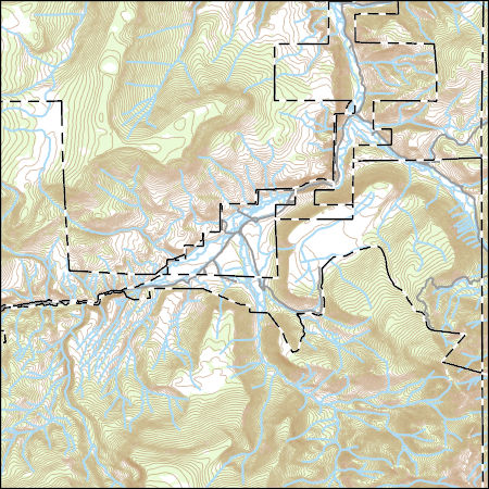
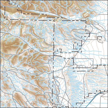
Layers of geospatial data include contours, boundaries, land cover, hydrography, roads, transportation, geographic names, structures, and other selected map features.
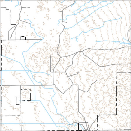
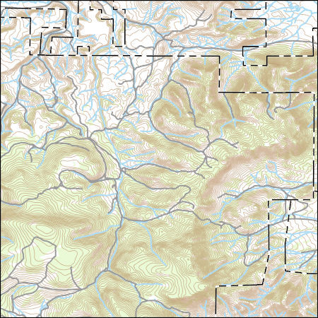
Layers of geospatial data include contours, boundaries, land cover, hydrography, roads, transportation, geographic names, structures, and other selected map features.
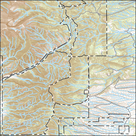
Layers of geospatial data include contours, boundaries, land cover, hydrography, roads, transportation, geographic names, structures, and other selected map features.
Layers of geospatial data include contours, boundaries, land cover, hydrography, roads, transportation, geographic names, structures, and other selected map features.
Layers of geospatial data include contours, boundaries, land cover, hydrography, roads, transportation, geographic names, structures, and other selected map features.
Layers of geospatial data include contours, boundaries, land cover, hydrography, roads, transportation, geographic names, structures, and other selected map features.
|

|
