Filters: Tags: Saint David, AZ (X)
7 results (32ms)|
Filters
Date Range
Contacts (Less)
Categories (Less) Tag Types Tag Schemes
|
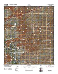
Layered GeoPDF 7.5 Minute Quadrangle Map. Layers of geospatial data include orthoimagery, roads, grids, geographic names, elevation contours, hydrography, and other selected map features.
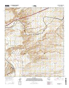
Layered GeoPDF 7.5 Minute Quadrangle Map. Layers of geospatial data include orthoimagery, roads, grids, geographic names, elevation contours, hydrography, and other selected map features.
The dataset contains data from two GPS surveys conducted after a flow event on September 8, 2020, at the USGS streamgage 09471580 - San Pedro River at St David, AZ. The first survey, conducted on October 14, 2020, documents CSA cross section geometry, CSA pin elevations, and high-water marks at CSA cross sections from the flow event in the CSA reach downstream from the gage (09471588 - San Pedro River below Dragoon Wash at St David, AZ). The second survey, conducted on December 8, 2020, documents CSA pin elevations and additional high-water marks in the CSA reach from the flow event on September 8, 2020, and the elevation of the thalweg from the CSA reach to the streamgage (09471580) at the bridge.
A GPS survey was conducted on July 10, 2018, to document the CSA pin elevations and cross section geometry at the CSA sensor locations at CSA 09471587 - Dragoon Wash above San Pedro River at St David, AZ, and CSA 09471588 - San Pedro River below Dragoon Wash at St David, AZ. Three CSA pin elevations and cross sections were surveyed at CSA 09471587 - Dragoon Wash above San Pedro River at St David, AZ; and four CSA pin elevations and cross sections were surveyed at CSA 09471588 - San Pedro River below Dragoon Wash at St David, AZ.
A GPS survey was conducted on June 12, 2019, to document the cross section geometry at the streamgage 09471580 - San Pedro River at St David, AZ, and CSA pin elevations and cross section geometry at the CSA sensor locations at CSA 09471588 - San Pedro River below Dragoon Wash at St David, AZ. One cross section was surveyed at streamgage 09471580 - San Pedro River at St David, AZ; and four CSA pin elevations and cross sections were surveyed at CSA 09471588 - San Pedro River below Dragoon Wash at St David, AZ.
Categories: Data;
Tags: Cochise County,
GPS,
Saint David, AZ,
San Pedro River,
USGS Science Data Catalog (SDC)
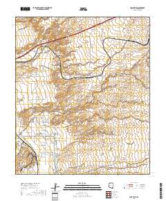
Layered geospatial PDF 7.5 Minute Quadrangle Map. Layers of geospatial data include orthoimagery, roads, grids, geographic names, elevation contours, hydrography, and other selected map features. This map is derived from GIS (geospatial information system) data. It represents a repackaging of GIS data in traditional map form, not creation of new information. The geospatial data in this map are from selected National Map data holdings and other government sources.
The dataset contains data from a GPS survey conducted after a flow event on November 29, 2019, at the USGS streamgage 09471580 - San Pedro River at St David, AZ. The survey, conducted on December 5, 2019, documents cross section geometry and high-water marks from the flow event in the reach downstream from the gage. One CSA pin elevation at CSA 09471588 - San Pedro River below Dragoon Wash at St David, AZ, was also surveyed. The other three CSA sensors at 09471588 were destroyed during the November 29, 2019, flow event.
|

|
