Filters: Tags: Saint Thomas (X) > partyWithName: U.S. Geological Survey (X)
9 results (35ms)|
Filters
Date Range
Extensions Types Contacts
Categories Tag Types Tag Schemes |

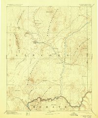
USGS Historical Quadrangle in GeoPDF.

USGS Historical Quadrangle in GeoPDF.

This part of the data release presents projected flooding extent polygon (flood masks) and flooding depth points (flood points) shapefiles based on wave-driven total water levels for the Territory of the U.S. Virgin Islands (the islands of Saint Croix, Saint John, and Saint Thomas). For each island there are 8 associated flood mask and flood depth shapefiles: one for each four nearshore wave energy return periods (rp; 10-, 50-, 100-, and 500-years) and both with (wrf) and without (worf) the presence of coral reefs. Flooding depth point data are also presented as a comma-separated value (.csv) text file.
Categories: Data;
Types: Downloadable,
Map Service,
OGC WFS Layer,
OGC WMS Layer,
Shapefile;
Tags: CMHRP,
Coastal and Marine Hazards and Resources Program,
Coral Reef,
Habitat,
PCMSC,
USGS Historical Quadrangle in GeoPDF.
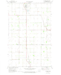
USGS Historical Quadrangle in GeoPDF.
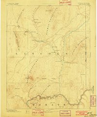
USGS Historical Quadrangle in GeoPDF.
USGS Historical Quadrangle in GeoPDF.
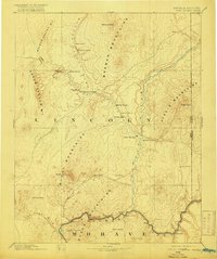
USGS Historical Quadrangle in GeoPDF.
USGS Historical Quadrangle in GeoPDF.
|

|
