Filters: Tags: Saint Thomas (X)
24 results (13ms)|
Filters
Date Range
Extensions Types Contacts
Categories Tag Types Tag Schemes |
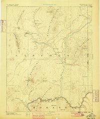
USGS Historical Quadrangle in GeoPDF.
This data release provides flooding extent polygons based on wave-driven total water levels for the coral lined coasts of Florida, Puerto Rico, and the U.S. Virgin Islands. The locations of the restoration lines along and across shore were defined by the presence of continuous coral/hardbottom habitat of greater than 100 m alongshore length and proximity to the 3-m depth contour. The wave and sea level conditions were then propagated using XBeach modelling (methoods are available at ) over 100-m spaced shore-normal transects modified to account for three coral reef restoration scenarios. The vertical height of the coral or emplacement of new structure was parameterized by increasing the elevation (decreasing the...
This data set contains imagery from the National Agriculture Imagery Program (NAIP). The NAIP program is administered by USDA FSA and has been established to support two main FSA strategic goals centered on agricultural production. These are, increase stewardship of America's natural resources while enhancing the environment, and to ensure commodities are procured and distributed effectively and efficiently to increase food security. The NAIP program supports these goals by acquiring and providing ortho imagery that has been collected during the agricultural growing season in the U.S. The NAIP ortho imagery is tailored to meet FSA requirements and is a fundamental tool used to support FSA farm and conservation programs....
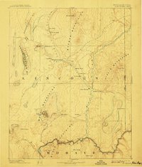
USGS Historical Quadrangle in GeoPDF.
|

|
