Filters: Tags: San Bernardino County (X) > Date Range: {"choice":"year"} (X)
104 results (97ms)|
Filters
Date Types (for Date Range)
Types Contacts
Categories Tag Types Tag Schemes |
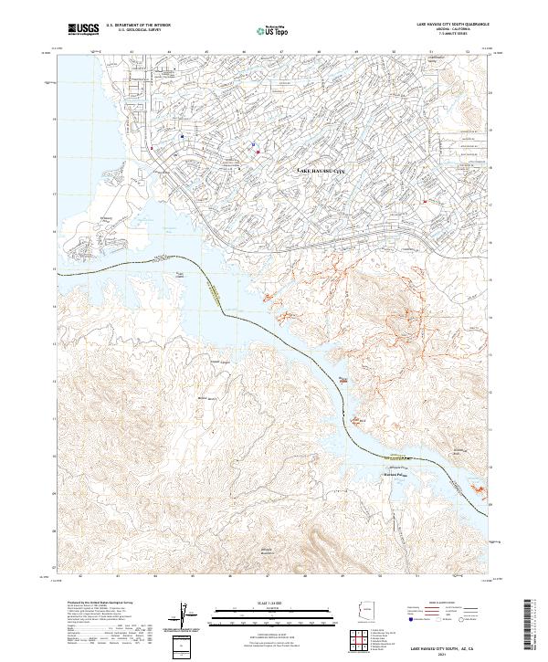
Layered geospatial PDF 7.5 Minute Quadrangle Map. Layers of geospatial data include orthoimagery, roads, grids, geographic names, elevation contours, hydrography, and other selected map features. This map is derived from GIS (geospatial information system) data. It represents a repackaging of GIS data in traditional map form, not creation of new information. The geospatial data in this map are from selected National Map data holdings and other government sources.
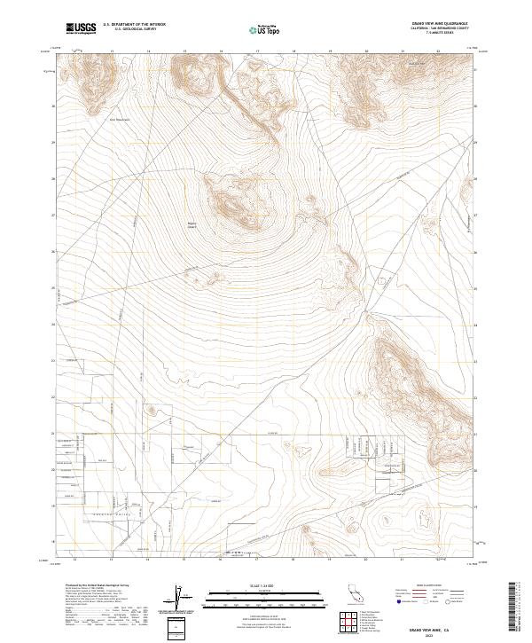
Layered geospatial PDF 7.5 Minute Quadrangle Map. Layers of geospatial data include orthoimagery, roads, grids, geographic names, elevation contours, hydrography, and other selected map features. This map is derived from GIS (geospatial information system) data. It represents a repackaging of GIS data in traditional map form, not creation of new information. The geospatial data in this map are from selected National Map data holdings and other government sources.

These data were released prior to the October 1, 2016 effective date for the USGS’s policy dictating the review, approval, and release of scientific data as referenced in USGS Survey Manual Chapter 502.8 Fundamental Science Practices: Review and Approval of Scientific Data for Release. This digital data set defines the boundary of the area contributing ground-water flow to the Death Valley regional ground-water flow-system (DVRFS) model domain. The boundary encompasses an approximate 112,000 square-kilometer region and was based on a map of regional potential developed by Bedinger and Harrill (2004). Where possible, the amount of lateral flow across the segments of the DVRFS model boundary from (or to) the contributing...

A three-dimensional, groundwater-flow model developed by Halford and Jackson (https://doi.org/10.3133/pp1863) was used to simulate effects of future (2020—2120) groundwater pumping on water levels and natural discharges in the Alkali Flat–Furnace Creek Ranch (AFFCR), Ash Meadows, Pahute Mesa–Oasis Valley (PMOV), and Pahrump to Death Valley South (PDVS) groundwater basins, southern Nevada and California. Four pumping scenarios were simulated, including a base case and scenarios A, B, and C. Scenarios were simulated from 1913 to 2120, with historical pumping occurring from 1913 to 2010, historical 2010 pumping rates projected from 2010 to 2020, and scenario pumping beginning in 2020. The base case projected 2010 pumping...
These data were collected using field portable (handheld) X-ray fluorescence (pXRF) equipped with a 4-watt Ta/Au X-ray tube. Samples of surficial alluvium, rock, and archived core material from existing auger- or sonic-drilled monitoring wells in Hinkley Valley and the adjoining Water Valley, 140 kilometers (km) northeast of Los Angeles, California, were measured as part of an investigation of naturally-occurring and anthropogenic hexavalent chromium, Cr(VI), concentrations in local groundwater. Surficial alluvium samples were collected from small stream channels draining distinct geologic units, or from previously mapped river deposits, and generally consisted of silt, sand, and granules to small pebbles. Twigs...
The U.S. Geological Survey collected groundwater samples from 48 grid wells and 11 understanding wells screened in aquifers used for domestic supply in San Bernardino County, California, in 2018. The sites were sampled for the Mojave Basin (MOBS) Shallow Aquifer Study Unit of the California State Water Resources Control Board Groundwater Ambient Monitoring and Assessment (GAMA) Program Priority Basin Project’s assessment of the quality of groundwater resources used for domestic and small system drinking water supplies. The MOBS study unit covered the Upper, Middle, and Lower Mojave River groundwater basins, El Mirage groundwater basin, and part of the Harper Valley groundwater basin [California Department of Water...
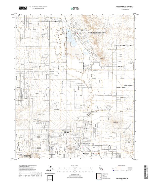
Layered geospatial PDF 7.5 Minute Quadrangle Map. Layers of geospatial data include orthoimagery, roads, grids, geographic names, elevation contours, hydrography, and other selected map features. This map is derived from GIS (geospatial information system) data. It represents a repackaging of GIS data in traditional map form, not creation of new information. The geospatial data in this map are from selected National Map data holdings and other government sources.

These data were released prior to the October 1, 2016 effective date for the USGS’s policy dictating the review, approval, and release of scientific data as referenced in USGS Survey Manual Chapter 502.8 Fundamental Science Practices: Review and Approval of Scientific Data for Release. This digital geospatial data set contains the locations, values, and uncertainties of 700 hydraulic-head observations used in the steady-state, prepumped period of the transient model of the Death Valley regional ground-water flow system (DVRFS), a 100,000-square-kilometer region of southern Nevada and California. Hydraulic-head observations, which are the composite of one or more water-level measurements made at a well, are used...

These data were released prior to the October 1, 2016 effective date for the USGS’s policy dictating the review, approval, and release of scientific data as referenced in USGS Survey Manual Chapter 502.8 Fundamental Science Practices: Review and Approval of Scientific Data for Release. This digital data set defines the lateral boundary and model domain of the area simulated by the transient ground-water flow model of the Death Valley regional ground-water flow system (DVRFS). The DVRFS transient ground-water flow model is the most recent in a number of regional-scale models developed by the U.S. Geological Survey (USGS) for the U.S. Department of Energy (DOE) to support investigations at the Nevada Test Site (NTS)...

These data were released prior to the October 1, 2016 effective date for the USGS’s policy dictating the review, approval, and release of scientific data as referenced in USGS Survey Manual Chapter 502.8 Fundamental Science Practices: Review and Approval of Scientific Data for Release. This digital geospatial data set is a compilation of reference points representing springs in California that were used for the regional ground-water potential map by Bedinger and Harrill (2004). The regional ground-water potential map was developed to assess potential interbasin flow in the Death Valley regional ground-water flow system (DVRFS), a 100,000-square-kilometer region of southern Nevada and California. To obtain an adequate...

These data were released prior to the October 1, 2016 effective date for the USGS’s policy dictating the review, approval, and release of scientific data as referenced in USGS Survey Manual Chapter 502.8 Fundamental Science Practices: Review and Approval of Scientific Data for Release. This digital data set represents the Death Valley regional ground-water flow system (DVRFS) study area which encompasses approximately 100,000-square kilometers in Nevada and California and is bounded by latitudes 35-degrees north and 38-degrees 15-minutes north and by longitudes 115-degrees west and 118-degrees west. The study area boundary encompasses the DVRFS model domain which is the area simulated by a transient ground-water...

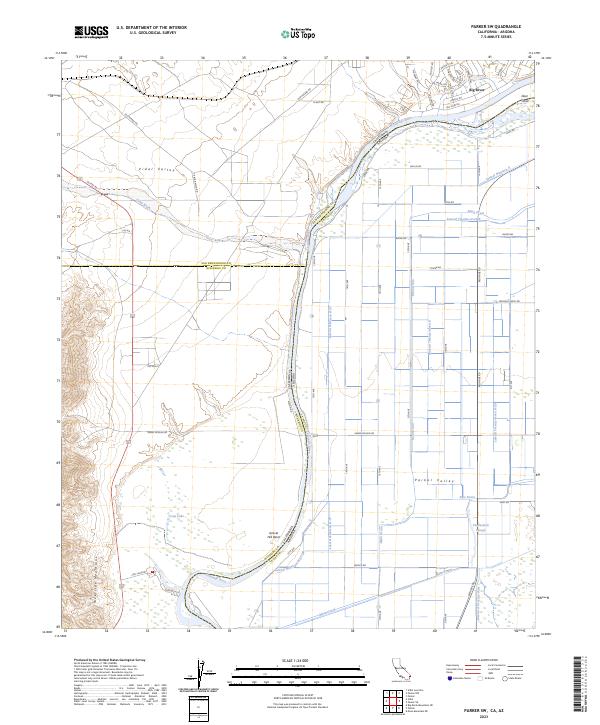
Layered geospatial PDF 7.5 Minute Quadrangle Map. Layers of geospatial data include orthoimagery, roads, grids, geographic names, elevation contours, hydrography, and other selected map features. This map is derived from GIS (geospatial information system) data. It represents a repackaging of GIS data in traditional map form, not creation of new information. The geospatial data in this map are from selected National Map data holdings and other government sources.
Layered geospatial PDF 7.5 Minute Quadrangle Map. Layers of geospatial data include orthoimagery, roads, grids, geographic names, elevation contours, hydrography, and other selected map features. This map is derived from GIS (geospatial information system) data. It represents a repackaging of GIS data in traditional map form, not creation of new information. The geospatial data in this map are from selected National Map data holdings and other government sources.
The U.S. Geological Survey collected groundwater samples from 49 wells used for domestic and small system drinking water supplies and 10 monitoring wells in San Bernardino County, California in 2018. The wells were sampled for the Mojave Basin (MOBS) Shallow Aquifer Study Unit of the California State Water Resources Control Board Groundwater Ambient Monitoring and Assessment (GAMA) Program Priority Basin Project’s assessment of the quality of groundwater resources used for domestic and small system drinking water supplies. Domestic and small-system wells commonly are screened at shallower depths than public-supply wells. The MOBS study unit covered the Upper, Middle, and Lower Mojave River groundwater basins, the...

These data were released prior to the October 1, 2016 effective date for the USGS’s policy dictating the review, approval, and release of scientific data as referenced in USGS Survey Manual Chapter 502.8 Fundamental Science Practices: Review and Approval of Scientific Data for Release. This digital data set defines the boundaries of the deserts of the southwestern United States. Those deserts include the Great Basin, Mojave, Colorado, and Sonoran Deserts as defined by Benson and Darrow (1981). The study by Benson and Darrow (1981) was a historical reference used to support development of the transient ground-water model of Death Valley regional ground-water flow system (DVRFS) completed in 2004 by the USGS (see...

These data were released prior to the October 1, 2016 effective date for the USGS’s policy dictating the review, approval, and release of scientific data as referenced in USGS Survey Manual Chapter 502.8 Fundamental Science Practices: Review and Approval of Scientific Data for Release. The Mojave River and Morongo ground-water basins are in the southwestern part of the Mojave Desert in southern California. Ground-water from these basins supplies a major part of the water requirements for the region. The continuous population growth in this area has resulted in ever-increasing demands on local ground-water resources. The collection and interpretation of ground-water data helps local water districts, military bases,...

These data were released prior to the October 1, 2016 effective date for the USGS’s policy dictating the review, approval, and release of scientific data as referenced in USGS Survey Manual Chapter 502.8 Fundamental Science Practices: Review and Approval of Scientific Data for Release. This digital data set defines the flow-system boundary encompassing the regional ground-water flow model by D'Agnese and others (1997). The boundary encompasses an approximately 50,000 square-kilometer region of southern Nevada and California, defined as the Death Valley region by Bedinger and others (1989; see Source Citation Information). The flow-system boundary is mostly a no-flow boundary resulting from physical barriers or...

These data were released prior to the October 1, 2016 effective date for the USGS’s policy dictating the review, approval, and release of scientific data as referenced in USGS Survey Manual Chapter 502.8 Fundamental Science Practices: Review and Approval of Scientific Data for Release. This digital data set defines the lateral boundary of the area simulated by the steady-state ground-water flow model of the Death Valley regional ground-water flow system (DVRFS) by D'Agnese and others (2002). The DVRFS flow model was developed by the U.S. Geological Survey (USGS) for the U.S. Department of Energy (DOE) to support investigations at the Nevada Test Site (NTS) and at Yucca Mountain, Nevada. The model area is an approximately...

The High Resolution National Hydrography Dataset Plus (NHDPlus HR) is an integrated set of geospatial data layers, including the National Hydrography Dataset (NHD), National Watershed Boundary Dataset (WBD), and 3D Elevation Program Digital Elevation Model (3DEP DEM). The NHDPlus HR combines the NHD, 3DEP DEMs, and WBD to a data suite that includes the NHD stream network with linear referencing functionality, the WBD hydrologic units, elevation-derived catchment areas for each stream segment, "value added attributes" (VAAs), and other features that enhance hydrologic data analysis and routing.

These data were released prior to the October 1, 2016 effective date for the USGS’s policy dictating the review, approval, and release of scientific data as referenced in USGS Survey Manual Chapter 502.8 Fundamental Science Practices: Review and Approval of Scientific Data for Release. This digital data set defines the boundary of the hydrogeologic framework model (HFM) developed by IT Corporation (1996) for the U.S. Department of Energy Underground Test Area Phase I project. The boundary encompasses an approximate 53,000 square-kilometer region which is centered on the Nevada Test Site (NTS) and extends from Death Valley to east of the East Pahranagat Range, and from the Black Mountains to north of Penoyer and...
|

|
