Filters: Tags: San Juan County (X) > Types: Citation (X)
89 results (95ms)|
Filters
Date Range
Extensions Types
Contacts
Categories Tag Types Tag Schemes |
This dataset represents ease of access to bottomland areas for vegetation treatments. Access may be by road, 4x4 near road, hike in by field crews or requiring overnight camping or raft access. Access is considered for each side of the river separately.
Categories: Data;
Types: Citation,
Downloadable,
Map Service,
OGC WFS Layer,
OGC WMS Layer,
Shapefile;
Tags: Arches National Park,
Canyonlands National Park,
Colorado River,
Grand County,
Moab,
This is a model showing general habitat diversity, including both the structural and cover type diversity. See Open File Report, Rasmussen and Shafroth, Colorado River Conservation Planning for geoprocessing details.
Categories: Data;
Types: Citation,
Downloadable,
Map Service,
OGC WFS Layer,
OGC WMS Layer,
Shapefile;
Tags: Arches National Park,
Canyonlands National Park,
Colorado River,
Grand County,
Moab,
This dataset represents the relative average amount of non-woody cover within 2 ha) of bottomland along the Colorado River from the Colorado state line (San Juan and Grand Counties, Utah) to the southern Canyonlands NP boundary, as of September 2010. Traditional image interpretation cues were used to develop the polygons, such as shape, size, pattern, tone, texture, color, and shadow, from high resolution, true color, aerial imagery (0.3m resolution), acquired for the project. Additional, public available aerial photos (NAIP, 2011) were used to cross-reference cover classes. As with any digital layer, this layer is a representation of what is actually occurring on the ground. Errors are inherent in any interpretation...
Categories: Data;
Types: Citation,
Downloadable,
Map Service,
OGC WFS Layer,
OGC WMS Layer,
Shapefile;
Tags: Arches National Park,
Canyonlands National Park,
Colorado River,
Grand County,
Moab,
This dataset represents the variety (unique structural classes: water, bare, herbaceous, short shrubs, medium shrubs, short trees, tall trees) within 1 ha of bottomland areas. Traditional image interpretation cues were used to develop the polygons, such as shape, size, pattern, tone, texture, color, and shadow, from high resolution, true color, aerial imagery (0.3m resolution), acquired for the project. Additional, public available aerial photos (NAIP, 2011) were used to cross-reference cover classes. As with any digital layer, this layer is a representation of what is actually occurring on the ground. Errors are inherent in any interpretation of ground qualities. Due to the "snapshot" nature of the aerial photos,...
Categories: Data;
Types: Citation,
Downloadable,
Map Service,
OGC WFS Layer,
OGC WMS Layer,
Shapefile;
Tags: Arches National Park,
Canyonlands National Park,
Colorado River,
Grand County,
Moab,
This map shows the channel boundary (2011) of the Colorado River mainstem between the Utah Colorado border and the upper pool of Lake Powell, Utah (146 miles). The channel boundary was mapped from public available NAIP imagery flown on June 28, 2011, when the river flow was 886 m3/s at the Cisco gage. The channel is subdivided into channel types: fast water (main channel, secondary channel), and still water types (backwater, isolated pool and tributary channel).
Categories: Data;
Types: Citation,
Downloadable,
Map Service,
OGC WFS Layer,
OGC WMS Layer,
Shapefile;
Tags: Arches National Park,
Canyonlands National Park,
Colorado River,
Grand County,
Moab,
This dataset consists of 102 magnetotelluric (MT) stations collected in 2012-2014 in the Rio Grande Rift and southern Rocky Mountains. The U.S. Geological Survey acquired these data to improve regional conductivity models of the western United States. This work is in support of studies of the effect of lithospheric modification on electrical resistivity structure and tectonic evolution of the western United States.
Categories: Data;
Types: Citation,
Map Service,
OGC WFS Layer,
OGC WMS Layer,
OGC WMS Service;
Tags: Carson National Forest,
Colfax County,
Colorado,
Colorado Plateau,
Dona Ana County,

Layers of geospatial data include contours, boundaries, land cover, hydrography, roads, transportation, geographic names, structures, and other selected map features.
Layers of geospatial data include contours, boundaries, land cover, hydrography, roads, transportation, geographic names, structures, and other selected map features.
The dataset describes rangeland monitoring results from the Hanksville, UT (USA) area. Monitoring results consist of canopy cover of plant species and functional types according to ecological site group from 1967 to 2013. The study area is bordered on the north by the Wayne-Emery County line, on the west by Capitol Reef National Park, and on the south and east by the Colorado River, Glen Canyon National Recreation Area, and Canyonlands National Park. Cover was estimated every 1 to 5 years (except the last measurement that had a 12 year interval) from 1967 to 2013 at 36 permanently marked sites in 15 livestock grazing allotments/pastures. Canopy cover of perennial plant species was estimated to the nearest tenth...
Types: Citation;
Tags: Climate change,
Colorado Plateau,
Ecological sites,
Garfield County,
Grazing,
This dataset represents the prevalence of trees as mapped along the Colorado River bottomland from the Colorado state line (San Juan and Grand Counties, Utah) to the southern Canyonlands NP boundary, as of September 2010. This mapping was conducted as part of the Colorado River Conservation Planning Project, a joint effort between the National Park Service, The Nature Conservancy, US Geological Survey, Bureau of Land Management, and Utah Forestry Fire and State Lands.
Categories: Data;
Types: Citation,
Downloadable,
Map Service,
OGC WFS Layer,
OGC WMS Layer,
Shapefile;
Tags: Arches National Park,
Canyonlands National Park,
Colorado River,
Grand County,
Moab,
This map shows stillness of water near bank vegetation within 15 m of the channel boundary (2011) of the Colorado River mainstem between the Utah Colorado border and the upper pool of Lake Powell, Utah (146 miles). The channel boundary was mapped from public available NAIP imagery flown on June 28, 2011, when the river flow was 886 m3/s at the Cisco gage. The channel is subdivided into channel types: main channel, secondary channel, backwater, isolated pool and tributary channel.
Categories: Data;
Types: Citation,
Downloadable,
Map Service,
OGC WFS Layer,
OGC WMS Layer,
Shapefile;
Tags: Arches National Park,
Canyonlands National Park,
Colorado River,
Grand County,
Moab,
Layers of geospatial data include contours, boundaries, land cover, hydrography, roads, transportation, geographic names, structures, and other selected map features.
Types: Citation;
Tags: 7.5 x 7.5 minute,
7.5 x 7.5 minute,
Canóvanas County,
Carolina County,
Combined Vector,
Layers of geospatial data include contours, boundaries, land cover, hydrography, roads, transportation, geographic names, structures, and other selected map features.
Layers of geospatial data include contours, boundaries, land cover, hydrography, roads, transportation, geographic names, structures, and other selected map features.
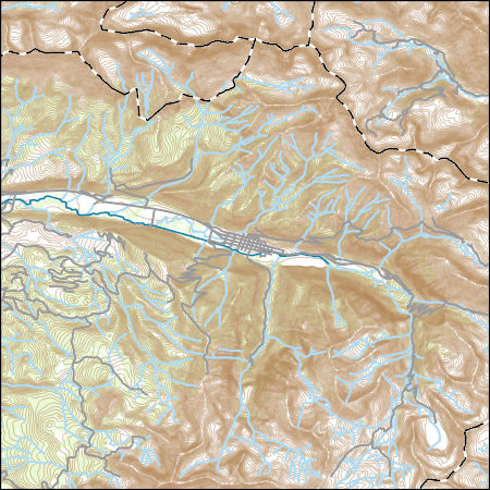
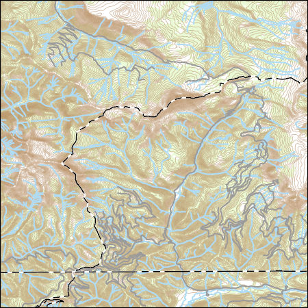
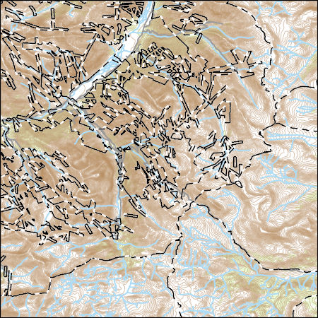
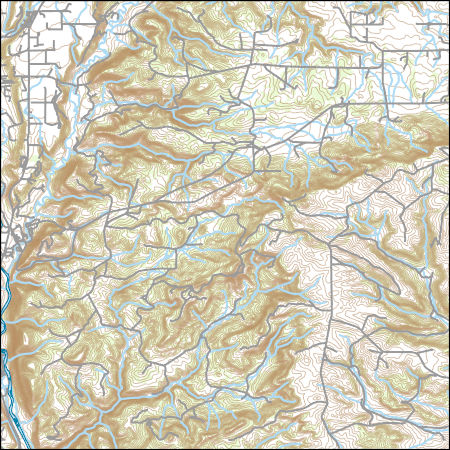
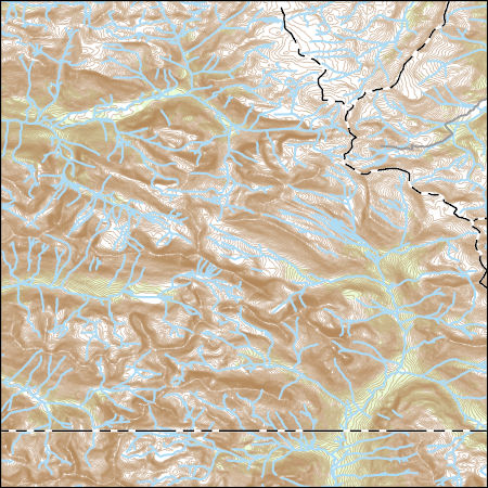
USGS Topo Map Vector Data (Vector) 44501 Telluride, Colorado 20220512 for 7.5 x 7.5 minute Shapefile
Layers of geospatial data include contours, boundaries, land cover, hydrography, roads, transportation, geographic names, structures, and other selected map features.
Layers of geospatial data include contours, boundaries, land cover, hydrography, roads, transportation, geographic names, structures, and other selected map features.
This dataset represents the diversity of woody cover types (averaged per 1.5 ha) as mapped along the Colorado River bottomland from the Colorado state line (San Juan and Grand Counties, Utah) to the southern Canyonlands NP boundary, as of September 2010. This mapping was conducted as part of the Colorado River Conservation Planning Project, a joint effort between the National Park Service, The Nature Conservancy, US Geological Survey, Bureau of Land Management, and Utah Forestry Fire and State Lands.
Categories: Data;
Types: Citation,
Downloadable,
Map Service,
OGC WFS Layer,
OGC WMS Layer,
Shapefile;
Tags: Arches National Park,
Canyonlands National Park,
Colorado River,
Grand County,
Moab,
Conservation Planning for the Colorado River in Utah - Tamarisk Penalty for Riparian Overstory Model
This dataset represents the prevalence of tamarisk (tamarisk penalty) as mapped along the Colorado River bottomland from the Colorado state line (San Juan and Grand Counties, Utah) to the southern Canyonlands NP boundary, as of September 2010. Traditional image interpretation cues were used to develop the polygons, such as shape, size, pattern, tone, texture, color, and shadow, from high resolution, true color, aerial imagery (0.3m resolution), acquired for the project. Additional, public available aerial photos (NAIP, 2011) were used to cross-reference cover classes. As with any digital layer, this layer is a representation of what is actually occurring on the ground. Errors are inherent in any interpretation of...
Categories: Data;
Types: Citation,
Downloadable,
Map Service,
OGC WFS Layer,
OGC WMS Layer,
Shapefile;
Tags: Arches National Park,
Canyonlands National Park,
Colorado River,
Grand County,
Moab,
This is a habitat suitability model riparian understory species in the Colorado River bottomland in Utah. The model incorporates the density of shrubs, the number of shrub species present, and the stillness of adjacent water.
Categories: Data;
Types: Citation,
Downloadable,
Map Service,
OGC WFS Layer,
OGC WMS Layer,
Shapefile;
Tags: Arches National Park,
Canyonlands National Park,
Colorado River,
Grand County,
Moab,
Distance to 2010 channel boundary, as mapped from 2010 dataset.
Categories: Data;
Types: Citation,
Downloadable,
Map Service,
OGC WFS Layer,
OGC WMS Layer,
Shapefile;
Tags: Arches National Park,
Canyonlands National Park,
Colorado River,
Grand County,
Moab,
|

|
