Filters: Tags: San Mateo County (X) > Date Range: {"choice":"year"} (X)
7 results (16ms)|
Filters
Date Types (for Date Range)
Types
Contacts
Categories Tag Types Tag Schemes |
This data release presents measurements and data from two vibracores (JRBP2018-VC01A and JRBP2018-VC01B) collected from Searsville Lake, a reservoir in Jasper Ridge Biological Preserve, Stanford, California, on October 29, 2018 (USGS Field Activity 2018-682-FA).
First Release: November 2018 The Coastal Storm Modeling System (CoSMoS) makes detailed predictions (meter-scale) over large geographic scales (100s of kilometers) of storm-induced coastal flooding and erosion for both current and future sea-level rise (SLR) scenarios. CoSMoS v3.1 for Central California shows projections for future climate scenarios (sea-level rise and storms) to provide emergency responders and coastal planners with critical storm-hazards information that can be used to increase public safety, mitigate physical damages, and more effectively manage and allocate resources within complex coastal settings. Data for Central California covers the coastline from Pt. Conception to Golden Gate Bridge....
Categories: Data Release - Revised;
Types: Map Service,
OGC WFS Layer,
OGC WMS Layer,
OGC WMS Service;
Tags: Beaches,
CMHRP,
Central California,
Central California Coast,
Climate change,
Adult female San Francisco gartersnakes (Thamnophis sirtalis tetrataenia) were captured and examined using an ultrasound device to determine if they were gravid and count the number of embryos in those that were. Morphological data including length and mass were collected for each snake, along with the date of capture and a study site identifier. These data support the following publication: Rose, J.P., Kim, R., Schoening, E.J., Lien, P.C., and Halstead, B.J., 2023. Comparing reintroduction strategies for the endangered San Francisco gartersnake (Thamnophis sirtalis tetrataenia) using demographic models. PLoS ONE 18(10): e0292379. https://doi.org/10.1371/journal.pone.0292379
Categories: Data;
Tags: Ecology,
San Mateo County,
USGS Science Data Catalog (SDC),
Wildlife Biology,
biota,
High-resolution single-channel Chirp and minisparker seismic-reflection data were collected by the U.S. Geological Survey in March and April 2007, offshore San Mateo County, California. Data were collected aboard the R/V Fulmar during field activity F-02-07-NC. Chirp data were collected using an EdgeTech 512 chirp subbottom system and were recorded with a Triton SB-Logger. Minisparker data were collected using a SIG 2-mille minisparker sound source combined with a single-channel streamer, and both were recorded with a Triton SB-Logger.
Categories: Data;
Types: Downloadable,
Map Service,
OGC WFS Layer,
OGC WMS Layer,
Shapefile;
Tags: Bathymetry and Elevation,
CMHRP,
Coastal and Marine Hazards and Resources Program,
Elevation,
Geophysics,

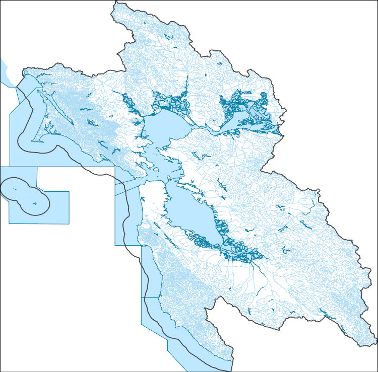
The High Resolution National Hydrography Dataset Plus (NHDPlus HR) is an integrated set of geospatial data layers, including the best available National Hydrography Dataset (NHD), the 10-meter 3D Elevation Program Digital Elevation Model (3DEP DEM), and the National Watershed Boundary Dataset (WBD). The NHDPlus HR combines the NHD, 3DEP DEMs, and WBD to create a stream network with linear referencing, feature naming, "value added attributes" (VAAs), elevation-derived catchments, and other features for hydrologic data analysis. The stream network with linear referencing is a system of data relationships applied to hydrographic systems so that one stream reach "flows" into another and "events" can be tied to and traced...
High-resolution single-channel Chirp seismic-reflection data were collected by the U.S. Geological Survey in March and April 2007 from Pacifica to Half Moon Bay, offshore San Mateo County, California. Data were collected aboard the R/V Fulmar, during field activity F-02-07-NC. Chirp data were collected using an EdgeTech 512 chirp subbottom system and recorded with a Triton SB-Logger.
Categories: Data;
Types: Downloadable,
Map Service,
OGC WFS Layer,
OGC WMS Layer,
Shapefile;
Tags: Bathymetry and Elevation,
CMHRP,
Coastal and Marine Hazards and Resources Program,
Elevation,
Half Moon Bay,
High-resolution single-channel minisparker seismic-reflection data were collected by the U.S. Geological Survey in March and April 2007 from San Francisco to San Gregorio, offshore San Mateo County, California. Data were collected aboard the R/V Fulmar, during field activity F-02-07-NC. Minisparker data were collected using a SIG 2-mille minisparker sound source combined with a single-channel streamer, and recorded with a Triton SB-Logger.
Categories: Data;
Types: Downloadable,
Map Service,
OGC WFS Layer,
OGC WMS Layer,
Shapefile;
Tags: Bathymetry and Elevation,
CMHRP,
Coastal and Marine Hazards and Resources Program,
Elevation,
North Pacific Ocean,
|

|