Filters: Tags: Sanibel (X)
11 results (42ms)|
Filters
Date Range
Types Contacts
Categories Tag Types Tag Schemes |
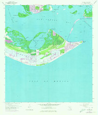
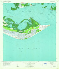
USGS Historical Quadrangle in GeoPDF.
This data set contains imagery from the National Agriculture Imagery Program (NAIP). The NAIP program is administered by USDA FSA and has been established to support two main FSA strategic goals centered on agricultural production. These are, increase stewardship of America's natural resources while enhancing the environment, and to ensure commodities are procured and distributed effectively and efficiently to increase food security. The NAIP program supports these goals by acquiring and providing ortho imagery that has been collected during the agricultural growing season in the U.S. The NAIP ortho imagery is tailored to meet FSA requirements and is a fundamental tool used to support FSA farm and conservation programs....
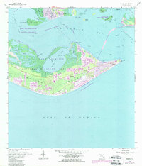
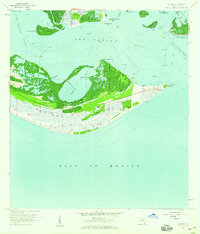
Mangrove inventory data from J.N. Ding Darling National Wildlife Refuge, Sanibel Island, Florida, USA collected in 2016 and 2017. Plot data includes X and Y downed dead wood count, mangrove species information and site descriptions. Tree data includes the three species found on the refuge: Avicennia germinans (Black mangroves), Laguncularia racemosa (White mangroves) and Rhizophora mangle (Red mangroves). They were inventoried for diameter at breast height (DBH), height, and dead status.
USGS Historical Quadrangle in GeoPDF.
USGS Historical Quadrangle in GeoPDF.
USGS Historical Quadrangle in GeoPDF.
This data set contains imagery from the National Agriculture Imagery Program (NAIP). The NAIP program is administered by USDA FSA and has been established to support two main FSA strategic goals centered on agricultural production. These are, increase stewardship of America's natural resources while enhancing the environment, and to ensure commodities are procured and distributed effectively and efficiently to increase food security. The NAIP program supports these goals by acquiring and providing ortho imagery that has been collected during the agricultural growing season in the U.S. The NAIP ortho imagery is tailored to meet FSA requirements and is a fundamental tool used to support FSA farm and conservation programs....
|

|
