Filters: Tags: Santa Barbara County (X)
426 results (155ms)|
Filters
Date Range
Extensions Types Contacts
Categories Tag Types
|
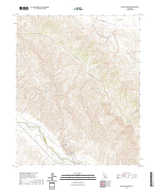
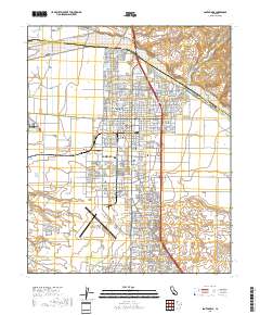
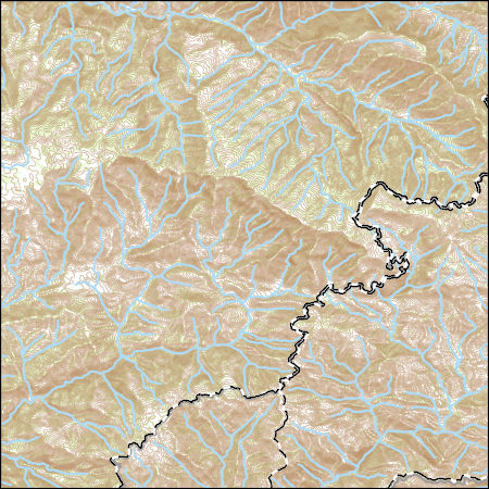
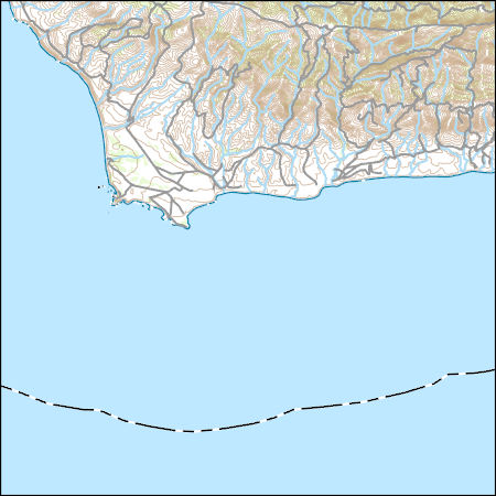
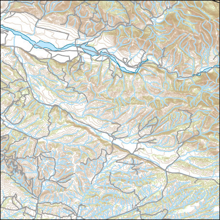
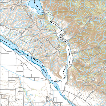
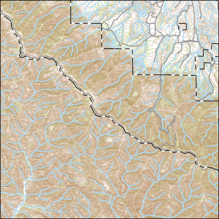
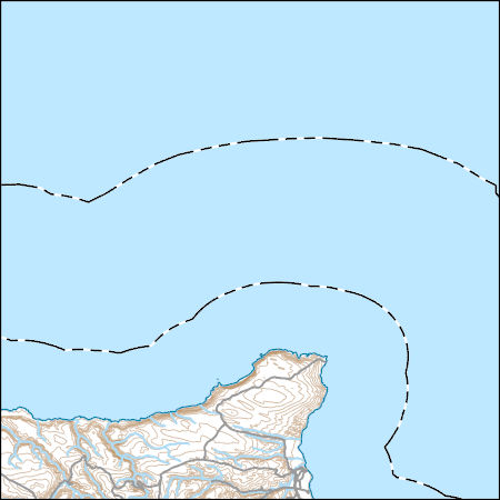
Layered geospatial PDF 7.5 Minute Quadrangle Map. Layers of geospatial data include orthoimagery, roads, grids, geographic names, elevation contours, hydrography, and other selected map features. This map is derived from GIS (geospatial information system) data. It represents a repackaging of GIS data in traditional map form, not creation of new information. The geospatial data in this map are from selected National Map data holdings and other government sources.
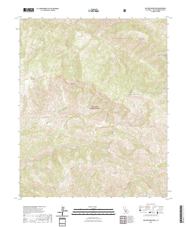
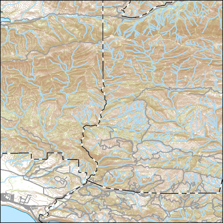
Layered geospatial PDF 7.5 Minute Quadrangle Map. Layers of geospatial data include orthoimagery, roads, grids, geographic names, elevation contours, hydrography, and other selected map features. This map is derived from GIS (geospatial information system) data. It represents a repackaging of GIS data in traditional map form, not creation of new information. The geospatial data in this map are from selected National Map data holdings and other government sources.
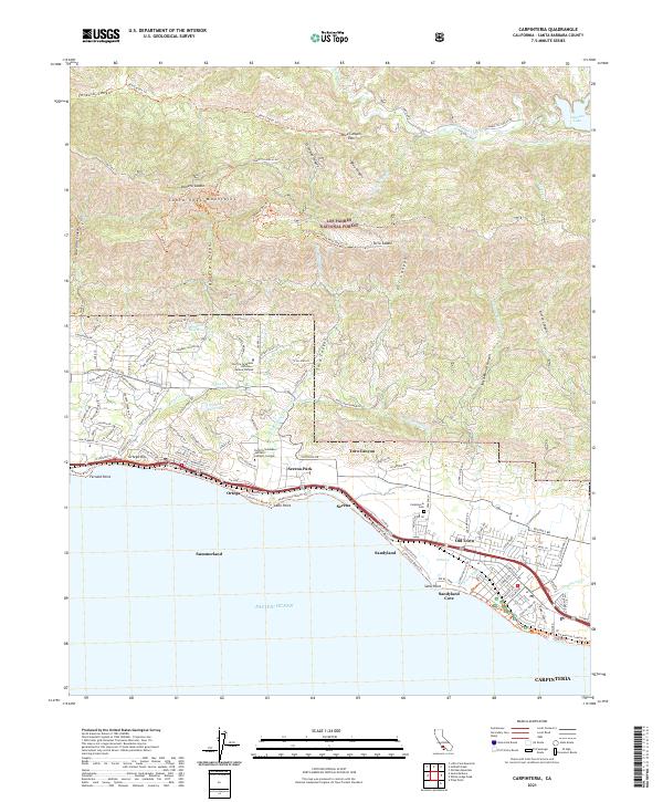
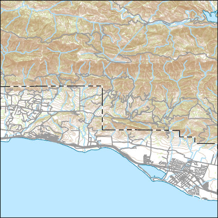
Layered geospatial PDF 7.5 Minute Quadrangle Map. Layers of geospatial data include orthoimagery, roads, grids, geographic names, elevation contours, hydrography, and other selected map features. This map is derived from GIS (geospatial information system) data. It represents a repackaging of GIS data in traditional map form, not creation of new information. The geospatial data in this map are from selected National Map data holdings and other government sources.
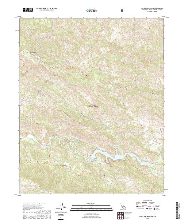
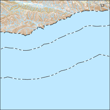
Layered geospatial PDF 7.5 Minute Quadrangle Map. Layers of geospatial data include orthoimagery, roads, grids, geographic names, elevation contours, hydrography, and other selected map features. This map is derived from GIS (geospatial information system) data. It represents a repackaging of GIS data in traditional map form, not creation of new information. The geospatial data in this map are from selected National Map data holdings and other government sources.
Layered geospatial PDF 7.5 Minute Quadrangle Map. Layers of geospatial data include orthoimagery, roads, grids, geographic names, elevation contours, hydrography, and other selected map features. This map is derived from GIS (geospatial information system) data. It represents a repackaging of GIS data in traditional map form, not creation of new information. The geospatial data in this map are from selected National Map data holdings and other government sources.

This part of DS 781 presents data for the depth-to-transition map of the Point Conception to Hueneme Canyon, California, region. The raster data file is included in "DepthToTransition_PointConceptionToHuenemeCanyon.zip," which is accessible from http://dx.doi.org/10.5066/F7891424. As part of the USGS's California State Waters Mapping Project, a 50-m grid of sediment thickness for the seafloor within the 3-nautical mile limit between Point Conception and Hueneme Canyon was generated from seismic-reflection data collected in 2014 (USGS activity 2014-632-FA) supplemented with outcrop and geologic structure (fault) information following the methodology of Wong (2012). Water depths determined from bathymetry data were...
Categories: Data;
Types: Citation,
Downloadable,
GeoTIFF,
Map Service,
Raster;
Tags: Carpinteria,
Coal Oil Point,
Gaviota,
Hueneme Canyon,
Pacific Ocean,
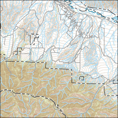
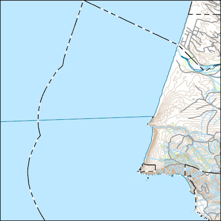
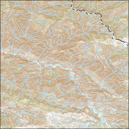
Layers of geospatial data include contours, boundaries, land cover, hydrography, roads, transportation, geographic names, structures, and other selected map features.
Layers of geospatial data include contours, boundaries, land cover, hydrography, roads, transportation, geographic names, structures, and other selected map features.
Layers of geospatial data include contours, boundaries, land cover, hydrography, roads, transportation, geographic names, structures, and other selected map features.
Layers of geospatial data include contours, boundaries, land cover, hydrography, roads, transportation, geographic names, structures, and other selected map features.
Layers of geospatial data include contours, boundaries, land cover, hydrography, roads, transportation, geographic names, structures, and other selected map features.
Layers of geospatial data include contours, boundaries, land cover, hydrography, roads, transportation, geographic names, structures, and other selected map features.
Layers of geospatial data include contours, boundaries, land cover, hydrography, roads, transportation, geographic names, structures, and other selected map features.
Layers of geospatial data include contours, boundaries, land cover, hydrography, roads, transportation, geographic names, structures, and other selected map features.
Layers of geospatial data include contours, boundaries, land cover, hydrography, roads, transportation, geographic names, structures, and other selected map features.
Layers of geospatial data include contours, boundaries, land cover, hydrography, roads, transportation, geographic names, structures, and other selected map features.
Layers of geospatial data include contours, boundaries, land cover, hydrography, roads, transportation, geographic names, structures, and other selected map features.
Layers of geospatial data include contours, boundaries, land cover, hydrography, roads, transportation, geographic names, structures, and other selected map features.
The U.S. Geological Survey (USGS) in cooperation with the California State Water Resources Control Board collected produced water and casing gas samples from oil wells and injectate stored in surficial tanks planned for underground injection in the Orcutt oil field in Santa Barbara County in 2018. Samples were collected from the Orcutt oil field on February 6th and February 7th, 2018. This digital dataset contains the site information, analyzing laboratories and methods, and water and gas chemistry and quality-control results for these samples. Chemistry results include concentrations of dissolved noble and hydrocarbon gases and their isotopic composition; concentrations of inorganic constituents including salinity,...
In cooperation with the California State Water Resources Control Board Oil and Gas Regional Groundwater Monitoring Program the U.S. Geological Survey collected and analyzed groundwater and associated quality control (QC) samples to assess regional groundwater quality overlying and adjacent to the Orcutt Oil Field during September 2017 through March 2018. Groundwater samples were collected from 15 groundwater monitoring, irrigation and production wells located within a three-mile buffer zone overlying and surrounding the Orcutt Oil Field administrative boundary in Santa Barbara County, California. Samples were collected using established groundwater data-collection protocols and procedures. Samples were analyzed...
|

|
