Filters: Tags: Santa Barbara County (X)
426 results (70ms)|
Filters
Date Range
Extensions Types Contacts
Categories Tag Types
|

This part of DS 781 presents 2-m-resolution data collected by Fugro Pelagos for the acoustic-backscatter map of the Offshore of Gaviota Map Area, California. The GeoTiff is included in "Backscatter_[Fugro]_OffshoreGaviota.zip," which is accessible from https://doi.org/10.5066/F7TH8JWJ. The acoustic-backscatter map of the Offshore of Gaviota map area in southern California was generated from acoustic-backscatter data collected by the U.S. Geological Survey (USGS) and by Fugro Pelagos Inc. Acoustic mapping was completed between 2007 and 2008 using a combination of 400-kHz Reson 7125, 240-kHz Reson 8101, and 100-kHz Reson 8111 multibeam echosounders, as well as a 234-kHz SEA SWATHplus bathymetric sidescan-sonar system....

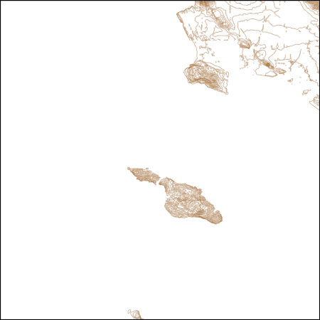
These vector contour lines are derived from the 3D Elevation Program using automated and semi-automated processes. They were created to support 1:24,000-scale CONUS and Hawaii, 1:25,000-scale Alaska, and 1:20,000-scale Puerto Rico / US Virgin Island topographic map products, but are also published in this GIS vector format. Contour intervals are assigned by 7.5-minute quadrangle, so this vector dataset is not visually seamless across quadrangle boundaries. The vector lines have elevation attributes (in feet above mean sea level on NAVD88), but this dataset does not carry line symbols or annotation.
These data encompass the geologic framework model for the Central Valley Hydrologic Model Version 2 (CVHM2) study. This includes (1) the Well Log Database which contains borehole information and lithology used in creating the geologic framework, (2) Well Logs with Classification Information which explains how percent coarse values were determined for each borehole, and (3) the Three-Dimensional Framework Model.
The California State Water Resources Control Board (State Water Board) initiated the Oil and Gas Regional Monitoring Program (RMP) to assess effects of oil and gas development on groundwater designated for any beneficial use. The U.S. Geological Survey (USGS) is the technical lead in conducting the RMP through the California Oil, Gas, and Groundwater (COGG) Program, working in cooperation with the State Water Board, and in partnership with other State and local agencies. The USGS collected and analyzed groundwater and associated quality control (QC) samples in the Santa Maria Valley Oil Field study area during July 2018 – March 2019. Groundwater samples were collected from twenty-one irrigation, one domestic, and...
Categories: Data;
Tags: California,
Geochemistry,
Groundwater,
Regional Monitoring Program,
Santa Barbara County,
This digital dataset contains the monthly inflows to the surface water network in the updated Central Valley Hydrologic Model (CVHM2) for water years 1922-2019. The surface water inflows are simulated through the Streamflow Routing Package (SFR2) using 65 inflows locations, 271 stream segments that represent 4043 stream reaches, and 13 bifurcations that comprise the stream network. The bifurcations simulate the bypass canals that are used for flood control by routing water between two stream reach locations within the stream network. This dataset includes the inflow and bifurcation locations, monthly magnitude, and shapefiles of the gridded and non-gridded stream network.
This digital dataset contains the monthly diversions from the surface water network in the updated Central Valley Hydrologic Model (CVHM2) for water years 1922-2019. The volume of water transported by surface-water diversions were updated in the CVHM2 from several sources, including: • The C2VSIM developed by DWR, • The WestSIM model, • Delta Mendota Canal turnout delivery data obtained from SLDMWA, • Delta delivery data obtained from Montgomery Watson. The surface water diversions are simulated through the Streamflow Routing Package (SFR2) using 571 diversion locations providing 564 semi-routed and 7 non-routed diversions. Linkages between SFR2 and the Farm-Process (FMP4) simulate the semi-routed and non-routed...
|

|