Filters: Tags: Scenic (X) > partyWithName: U.S. Geological Survey (X)
9 results (8ms)|
Filters
Date Range
Extensions Types Contacts Categories Tag Types Tag Schemes |

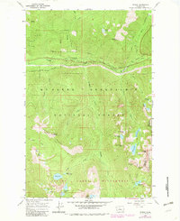
USGS Historical Quadrangle in GeoPDF.
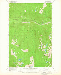
USGS Historical Quadrangle in GeoPDF.

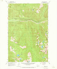
USGS Historical Quadrangle in GeoPDF.
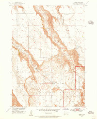
USGS Historical Quadrangle in GeoPDF.
USGS Historical Quadrangle in GeoPDF.

The USGS Transportation service from The National Map (TNM) is based on TIGER/Line data provided through U.S. Census Bureau and supplemented with HERE road data to create tile cache base maps. Some of the TIGER/Line data includes limited corrections done by USGS. Transportation data consists of roads, railroads, trails, airports, and other features associated with the transport of people or commerce. The data include the name or route designator, classification, and location. Transportation data support general mapping and geographic information system technology analysis for applications such as traffic safety, congestion mitigation, disaster planning, and emergency response. The National Map transportation data...
Categories: Data;
Types: ArcGIS REST Map Service,
Map Service;
Tags: 4WD,
NGP-TNM,
Overlay Map Service,
REST,
Transportation,
USGS Historical Quadrangle in GeoPDF.
USGS Historical Quadrangle in GeoPDF.
USGS Historical Quadrangle in GeoPDF.
|

|
