Filters
Date Range
Extensions
Types
Contacts
Categories
Tag Types
Tag Schemes
|

The USGS Structures service from The National Map (TNM) consists of data to include the name, function, location, and other core information and characteristics of selected manmade facilities. The types of structures collected are largely determined by the needs of disaster planning and emergency response, and homeland security organizations. Structures data are designed to be used in general mapping and in the analysis of structure related activities using geographic information system technology. The National Map structures data is commonly combined with other data themes, such as boundaries, elevation, hydrography, and transportation, to produce general reference base maps. The National Map viewer allows free...
Categories: Data;
Types: ArcGIS REST Map Service,
Map Service;
Tags: NGP-TNM,
Overlay Map Service,
REST,
Structures,
US, All tags...
United States,
WFS,
WMS,
ambulance service,
building,
cemetery,
college,
correctional facility,
ems station,
facility,
federal,
fire station,
gazetteer,
hospital,
law enforcement,
manmade,
medical center,
post office,
prison,
school,
state,
state capitol,
structure,
structure,
university, Fewer tags
As one of the cornerstones of the U.S. Geological Survey's (USGS) National Geospatial Program, The National Map is a collaborative effort among the USGS and other Federal, State, and local partners to improve and deliver topographic information for the Nation. It has many uses ranging from recreation to scientific analysis to emergency response. The National Map is easily accessible for display on the Web, as products and services, and as downloadable data. The geographic information available from The National Map includes orthoimagery (aerial photographs), elevation, geographic names, hydrography, boundaries, transportation, structures, and land cover.
Tags: 1 arc-second DEM,
1 meter DEM,
1-degree DEM,
1/3 arc-second DEM,
1/9 arc-second DEM, All tags...
10,000 meter DEM,
15-minute DEM,
2 arc-second DEM,
3DEP,
Administrative watershed units,
Aerial Compliance,
Aerial Photography,
Agricultural land,
Airport Complex,
Airport Point,
Airport Runway,
Airports,
Airstrips,
Area of Complex Channels,
Area to be submerged,
Bare Earth,
Barren land,
Basin,
Bay/Inlet,
Boundaries,
Boundary,
Bridge,
Canal/Ditch,
Cartography,
Coastline,
College / University,
Compliance,
Connector,
County or Equivalent,
DEM,
Dam/Weir,
Digital Elevation Model,
Digital Mapping,
Digital Ortho rectified Image,
Digital Terrain Model,
Drainage areas for surface water,
Elevation,
Elevation Theme,
Estuary,
Feature class,
Feature coordinates,
Feature county,
Feature description,
Feature designation,
Feature history,
Feature identification,
Feature name,
Feature state,
Fire Station/ EMS Station,
Flow direction network,
Flume,
ForeShore,
Forest land,
GIS,
Gaging Station,
Gate,
Geodata,
Geographic feature,
Geographic name,
Geographic names,
Geographical feature,
Geographical name,
Georeferenced,
Governmental Units, and Administrative and Statistical Boundaries Theme,
Grid,
HU10,
HU12,
HU14,
HU16,
HU2,
HU4,
HU6,
HU8,
HUC,
Hazard Zone,
High Resolution,
High Resolution Orthoimagery,
Hospital/Medical Center,
Hydro-Flattened,
Hydrographic,
Hydrography,
Hydrologic Unit Code,
Hydrologic Units,
IFSAR,
Ice mass,
Image processing,
Impervious,
Imperviousness,
Incorporated Place,
Interferometric Synthetic Aperture Radar,
Inundation Area,
JPEG 2000,
Juction,
Jurisdictional,
LAS,
LIDAR,
LIght Detection And Ranging,
Land Use-Land Cover Theme,
Land cover,
Law Enforcement,
Levee,
Light Detection and Ranging,
Line,
Lock Chamber,
Mapping,
Marsh,
Minor Civil Division,
NAIP,
NED,
NGDA,
National Elevation Dataset,
National Geospatial Data Asset,
Native American Area,
NavAid,
Nonearthen Shore,
Not Classified,
Official feature name,
Ortho Rectification,
Orthoimage,
PLSS First Division,
PLSS Special Survey,
PLSS Township,
Percent Developed Imperviousness,
Place name,
Playa,
Point,
Point Cloud,
PointEvent,
Pond,
Prison/ Correctional Facility,
Public Land Survey System,
Quarter Quadrangle,
Railways,
Range land,
Rapids,
Raster,
Reach,
Reach code,
Real Property Theme,
Reef,
Region,
Reserve,
Reservoir,
Roads,
Rock,
School,
School:Elementary,
School:High School,
School:Middle School,
Sea/Ocean,
Sink/Rise,
Sounding Datum Line,
Special Use Zone,
Special Use Zone Limit,
Spillway,
State Capitol,
State or Territory,
Stream/River,
Sub-basin,
Sub-region,
Subbasin,
Submerged Stream,
Subregion,
Subwatershed,
Survey,
Swamp,
Technical School,
Terrain Elevation,
Topographic,
Topographic Surface,
Topography,
Trade School,
TrailFeature,
Trails,
Transportation,
Transportation Theme,
Tunnel,
U.S. Geological Survey,
U.S. Geological Survey (USGS),
U.S. National Grid,
USGS,
Underground Conduit,
Unincorporated Place,
Urban and built-up land,
Variant name,
Vector,
WBD,
Wall,
Wash,
Water,
Water Intake Outflow,
Water – Inland Theme,
Waterfall,
Watershed,
Watershed Boundaries,
Watershed Boundary Dataset,
Waterway,
Well,
Wetland,
Woodland,
a-16,
altitude,
annotations,
artificial path,
biota,
boundaries,
boundaries,
boundary,
cadastral surveys,
contour,
dams,
dems,
digital spatial data,
drainage systems and characteristics,
ecology,
economy,
elevation,
elevation,
environment,
flora,
geographic names,
grid,
habitat,
hydrography,
image map,
imagery,
imageryBaseMapsEarthCover,
inlandWaters,
lakes,
land cover,
land ownership,
land use maps,
legal land descriptions,
location,
natural color orthophoto,
orthoimage,
orthophoto,
political and administrative boundaries,
polygon grid,
rectified image,
rivers,
slope,
society,
stream,
structure,
transportation, Fewer tags
Geospatial data includes structures and other selected map features.
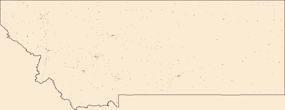
Tags: Beaverhead,
Big Horn,
Blaine,
Broadwater,
Campground, All tags...
Carbon,
Carter,
Cascade,
Chouteau,
College / University,
Courthouse,
Custer,
Daniels,
Dawson,
Deer Lodge,
Downloadable Data,
Fallon,
Fergus,
Fire Station/ EMS Station,
Flathead,
Gallatin,
Garfield,
GeoPackage,
Glacier,
Golden Valley,
Granite,
Hill,
Hospital/Medical Center,
Information Center,
Jefferson,
Judith Basin,
Lake,
Law Enforcement,
Lewis and Clark,
Liberty,
Lincoln,
MT,
Madison,
McCone,
Meagher,
Mineral,
Missoula,
Montana,
Musselshell,
National Structures Dataset (NSD),
National Structures Dataset (NSD),
Open Geospatial Consortium GeoPackage 1.2,
Park,
Petroleum,
Phillips,
Pondera,
Post Office,
Powder River,
Powell,
Prairie,
Prison/ Correctional Facility,
Ravalli,
Richland,
Roosevelt,
Rosebud,
Sanders,
School,
School:Elementary,
School:High School,
School:Middle School,
Sheridan,
Silver Bow,
State,
State,
State Capitol,
Stillwater,
Structures,
Sweet Grass,
Technical School,
Teton,
Toole,
Town Hall,
Trade School,
Trailhead,
Treasure,
US,
United States,
Valley,
Visitor Center,
Wheatland,
Wibaux,
Yellowstone,
structure, Fewer tags
Geospatial data includes structures and other selected map features.
Tags: Campground,
College / University,
Courthouse,
Downloadable Data,
Fire Station/ EMS Station, All tags...
GeoPackage,
Hospital/Medical Center,
Information Center,
Law Enforcement,
MP,
National Structures Dataset (NSD),
National Structures Dataset (NSD),
Northern Islands,
Northern Mariana Islands,
Open Geospatial Consortium GeoPackage 1.2,
Post Office,
Prison/ Correctional Facility,
Rota,
Saipan,
School,
School:Elementary,
School:High School,
School:Middle School,
State,
State,
State Capitol,
Structures,
Technical School,
Tinian,
Town Hall,
Trade School,
Trailhead,
US,
United States,
Visitor Center,
structure, Fewer tags
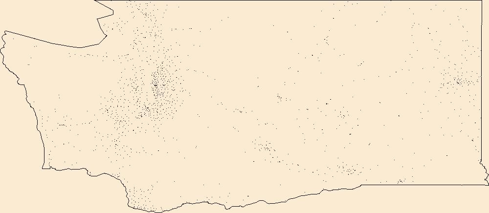
Geospatial data includes structures and other selected map features.
Tags: Adams,
Asotin,
Benton,
Campground,
Chelan, All tags...
Clallam,
Clark,
College / University,
Columbia,
Courthouse,
Cowlitz,
Douglas,
Downloadable Data,
Esri Shapefile nan,
Ferry,
Fire Station/ EMS Station,
Franklin,
Garfield,
Grant,
Grays Harbor,
Hospital/Medical Center,
Information Center,
Island,
Jefferson,
King,
Kitsap,
Kittitas,
Klickitat,
Law Enforcement,
Lewis,
Lincoln,
Mason,
National Structures Dataset (NSD),
National Structures Dataset (NSD),
Okanogan,
Pacific,
Pend Oreille,
Pierce,
Post Office,
Prison/ Correctional Facility,
San Juan,
School,
School:Elementary,
School:High School,
School:Middle School,
Shapefile,
Skagit,
Skamania,
Snohomish,
Spokane,
State,
State,
State Capitol,
Stevens,
Structures,
Technical School,
Thurston,
Town Hall,
Trade School,
Trailhead,
US,
United States,
Visitor Center,
WA,
Wahkiakum,
Walla Walla,
Washington,
Whatcom,
Whitman,
Yakima,
structure, Fewer tags
Geospatial data includes structures and other selected map features.
Tags: Campground,
College / University,
Courthouse,
DE,
Delaware, All tags...
Downloadable Data,
Esri Shapefile nan,
Fire Station/ EMS Station,
Hospital/Medical Center,
Information Center,
Kent,
Law Enforcement,
National Structures Dataset (NSD),
National Structures Dataset (NSD),
New Castle,
Post Office,
Prison/ Correctional Facility,
School,
School:Elementary,
School:High School,
School:Middle School,
Shapefile,
State,
State,
State Capitol,
Structures,
Sussex,
Technical School,
Town Hall,
Trade School,
Trailhead,
US,
United States,
Visitor Center,
structure, Fewer tags
Geospatial data includes structures and other selected map features.
Tags: Campground,
College / University,
Courthouse,
Downloadable Data,
Esri Shapefile nan, All tags...
Fire Station/ EMS Station,
Hospital/Medical Center,
Information Center,
Law Enforcement,
National Structures Dataset (NSD),
National Structures Dataset (NSD),
Post Office,
Prison/ Correctional Facility,
School,
School:Elementary,
School:High School,
School:Middle School,
Shapefile,
St. Croix,
St. John,
St. Thomas,
State,
State,
State Capitol,
Structures,
Technical School,
Town Hall,
Trade School,
Trailhead,
US,
United States,
VI,
Virgin Islands,
Visitor Center,
structure, Fewer tags
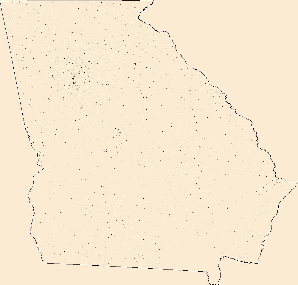
Geospatial data includes structures and other selected map features.
Tags: Appling,
Atkinson,
Bacon,
Baker,
Baldwin, All tags...
Banks,
Barrow,
Bartow,
Ben Hill,
Berrien,
Bibb,
Bleckley,
Brantley,
Brooks,
Bryan,
Bulloch,
Burke,
Butts,
Calhoun,
Camden,
Campground,
Candler,
Carroll,
Catoosa,
Charlton,
Chatham,
Chattahoochee,
Chattooga,
Cherokee,
Clarke,
Clay,
Clayton,
Clinch,
Cobb,
Coffee,
College / University,
Colquitt,
Columbia,
Cook,
Courthouse,
Coweta,
Crawford,
Crisp,
Dade,
Dawson,
DeKalb,
Decatur,
Dodge,
Dooly,
Dougherty,
Douglas,
Downloadable Data,
Early,
Echols,
Effingham,
Elbert,
Emanuel,
Esri File GeoDatabase 10,
Evans,
Fannin,
Fayette,
FileGDB,
Fire Station/ EMS Station,
Floyd,
Forsyth,
Franklin,
Fulton,
GA,
Georgia,
Gilmer,
Glascock,
Glynn,
Gordon,
Grady,
Greene,
Gwinnett,
Habersham,
Hall,
Hancock,
Haralson,
Harris,
Hart,
Heard,
Henry,
Hospital/Medical Center,
Houston,
Information Center,
Irwin,
Jackson,
Jasper,
Jeff Davis,
Jefferson,
Jenkins,
Johnson,
Jones,
Lamar,
Lanier,
Laurens,
Law Enforcement,
Lee,
Liberty,
Lincoln,
Long,
Lowndes,
Lumpkin,
Macon,
Madison,
Marion,
McDuffie,
McIntosh,
Meriwether,
Miller,
Mitchell,
Monroe,
Montgomery,
Morgan,
Murray,
Muscogee,
National Structures Dataset (NSD),
National Structures Dataset (NSD),
Newton,
Oconee,
Oglethorpe,
Paulding,
Peach,
Pickens,
Pierce,
Pike,
Polk,
Post Office,
Prison/ Correctional Facility,
Pulaski,
Putnam,
Quitman,
Rabun,
Randolph,
Richmond,
Rockdale,
Schley,
School,
School:Elementary,
School:High School,
School:Middle School,
Screven,
Seminole,
Spalding,
State,
State,
State Capitol,
Stephens,
Stewart,
Structures,
Sumter,
Talbot,
Taliaferro,
Tattnall,
Taylor,
Technical School,
Telfair,
Terrell,
Thomas,
Tift,
Toombs,
Town Hall,
Towns,
Trade School,
Trailhead,
Treutlen,
Troup,
Turner,
Twiggs,
US,
Union,
United States,
Upson,
Visitor Center,
Walker,
Walton,
Ware,
Warren,
Washington,
Wayne,
Webster,
Wheeler,
White,
Whitfield,
Wilcox,
Wilkes,
Wilkinson,
Worth,
structure, Fewer tags
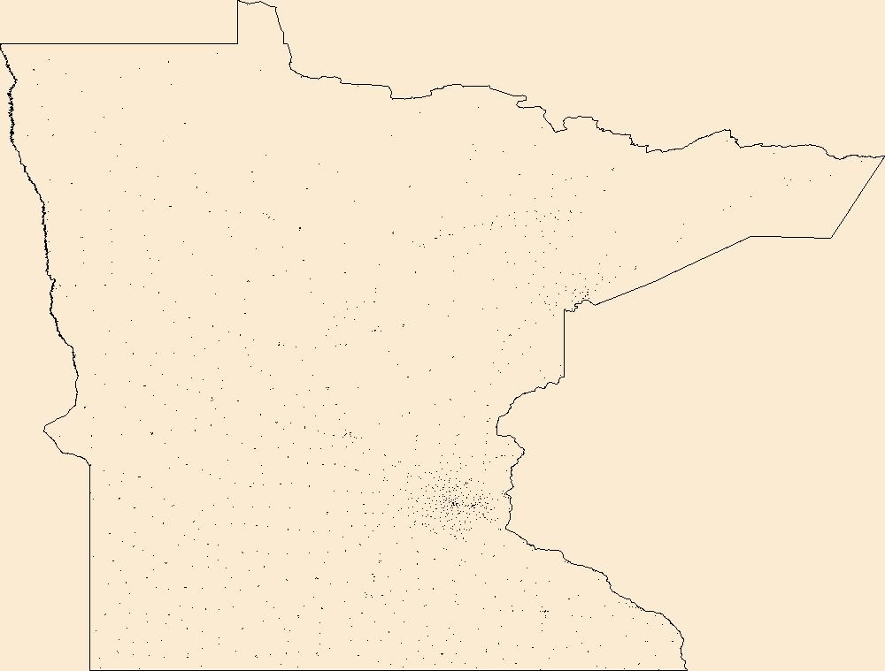
Geospatial data includes structures and other selected map features.
Tags: Aitkin,
Anoka,
Becker,
Beltrami,
Benton, All tags...
Big Stone,
Blue Earth,
Brown,
Campground,
Carlton,
Carver,
Cass,
Chippewa,
Chisago,
Clay,
Clearwater,
College / University,
Cook,
Cottonwood,
Courthouse,
Crow Wing,
Dakota,
Dodge,
Douglas,
Downloadable Data,
Esri File GeoDatabase 10,
Faribault,
FileGDB,
Fillmore,
Fire Station/ EMS Station,
Freeborn,
Goodhue,
Grant,
Hennepin,
Hospital/Medical Center,
Houston,
Hubbard,
Information Center,
Isanti,
Itasca,
Jackson,
Kanabec,
Kandiyohi,
Kittson,
Koochiching,
Lac qui Parle,
Lake,
Lake of the Woods,
Law Enforcement,
Le Sueur,
Lincoln,
Lyon,
MN,
Mahnomen,
Marshall,
Martin,
McLeod,
Meeker,
Mille Lacs,
Minnesota,
Morrison,
Mower,
Murray,
National Structures Dataset (NSD),
National Structures Dataset (NSD),
Nicollet,
Nobles,
Norman,
Olmsted,
Otter Tail,
Pennington,
Pine,
Pipestone,
Polk,
Pope,
Post Office,
Prison/ Correctional Facility,
Ramsey,
Red Lake,
Redwood,
Renville,
Rice,
Rock,
Roseau,
School,
School:Elementary,
School:High School,
School:Middle School,
Scott,
Sherburne,
Sibley,
St. Louis,
State,
State,
State Capitol,
Stearns,
Steele,
Stevens,
Structures,
Swift,
Technical School,
Todd,
Town Hall,
Trade School,
Trailhead,
Traverse,
US,
United States,
Visitor Center,
Wabasha,
Wadena,
Waseca,
Washington,
Watonwan,
Wilkin,
Winona,
Wright,
Yellow Medicine,
structure, Fewer tags
Geospatial data includes structures and other selected map features.
Tags: Beaver,
Box Elder,
Cache,
Campground,
Carbon, All tags...
College / University,
Courthouse,
Daggett,
Davis,
Downloadable Data,
Duchesne,
Emery,
Esri File GeoDatabase 10,
FileGDB,
Fire Station/ EMS Station,
Garfield,
Grand,
Hospital/Medical Center,
Information Center,
Iron,
Juab,
Kane,
Law Enforcement,
Millard,
Morgan,
National Structures Dataset (NSD),
National Structures Dataset (NSD),
Piute,
Post Office,
Prison/ Correctional Facility,
Rich,
Salt Lake,
San Juan,
Sanpete,
School,
School:Elementary,
School:High School,
School:Middle School,
Sevier,
State,
State,
State Capitol,
Structures,
Summit,
Technical School,
Tooele,
Town Hall,
Trade School,
Trailhead,
US,
UT,
Uintah,
United States,
Utah,
Utah,
Visitor Center,
Wasatch,
Washington,
Wayne,
Weber,
structure, Fewer tags
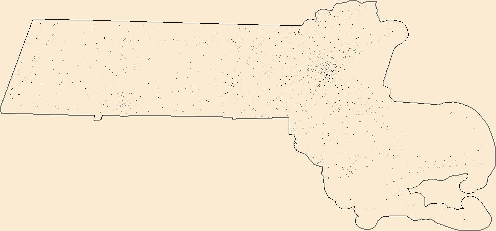
Geospatial data includes structures and other selected map features.
Tags: Barnstable,
Berkshire,
Bristol,
Campground,
College / University, All tags...
Courthouse,
Downloadable Data,
Dukes,
Esri File GeoDatabase 10,
Essex,
FileGDB,
Fire Station/ EMS Station,
Franklin,
Hampden,
Hampshire,
Hospital/Medical Center,
Information Center,
Law Enforcement,
MA,
Massachusetts,
Middlesex,
Nantucket,
National Structures Dataset (NSD),
National Structures Dataset (NSD),
Norfolk,
Plymouth,
Post Office,
Prison/ Correctional Facility,
School,
School:Elementary,
School:High School,
School:Middle School,
State,
State,
State Capitol,
Structures,
Suffolk,
Technical School,
Town Hall,
Trade School,
Trailhead,
US,
United States,
Visitor Center,
Worcester,
structure, Fewer tags
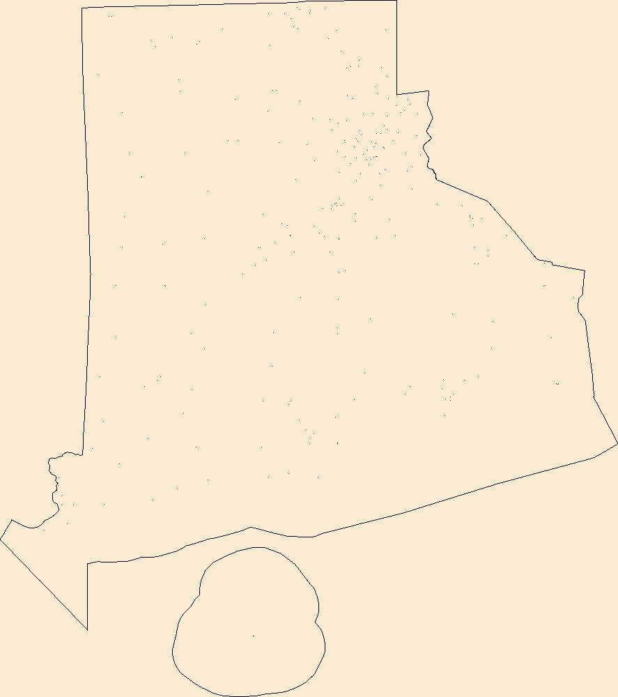
Geospatial data includes structures and other selected map features.
Tags: Bristol,
Campground,
College / University,
Courthouse,
Downloadable Data, All tags...
Esri File GeoDatabase 10,
FileGDB,
Fire Station/ EMS Station,
Hospital/Medical Center,
Information Center,
Kent,
Law Enforcement,
National Structures Dataset (NSD),
National Structures Dataset (NSD),
Newport,
Post Office,
Prison/ Correctional Facility,
Providence,
RI,
Rhode Island,
School,
School:Elementary,
School:High School,
School:Middle School,
State,
State,
State Capitol,
Structures,
Technical School,
Town Hall,
Trade School,
Trailhead,
US,
United States,
Visitor Center,
Washington,
structure, Fewer tags
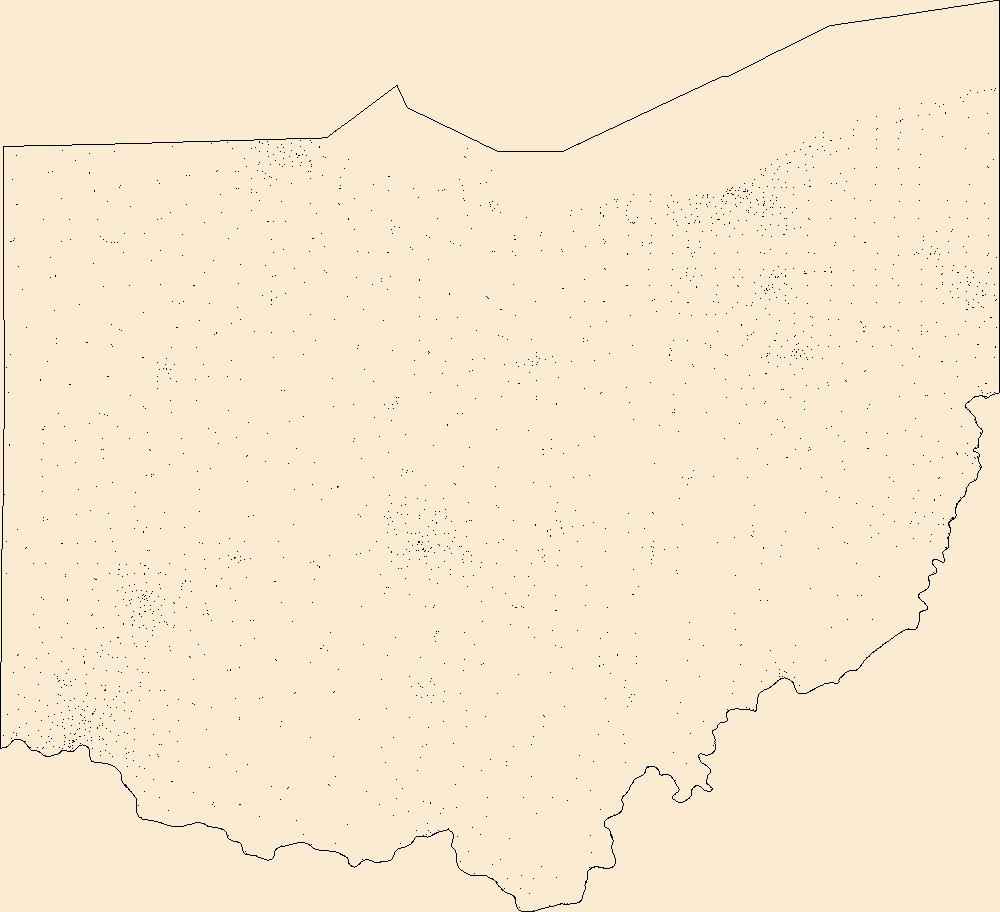
Geospatial data includes structures and other selected map features.
Tags: Adams,
Allen,
Ashland,
Ashtabula,
Athens, All tags...
Auglaize,
Belmont,
Brown,
Butler,
Campground,
Carroll,
Champaign,
Clark,
Clermont,
Clinton,
College / University,
Columbiana,
Coshocton,
Courthouse,
Crawford,
Cuyahoga,
Darke,
Defiance,
Delaware,
Downloadable Data,
Erie,
Esri Shapefile nan,
Fairfield,
Fayette,
Fire Station/ EMS Station,
Franklin,
Fulton,
Gallia,
Geauga,
Greene,
Guernsey,
Hamilton,
Hancock,
Hardin,
Harrison,
Henry,
Highland,
Hocking,
Holmes,
Hospital/Medical Center,
Huron,
Information Center,
Jackson,
Jefferson,
Knox,
Lake,
Law Enforcement,
Lawrence,
Licking,
Logan,
Lorain,
Lucas,
Madison,
Mahoning,
Marion,
Medina,
Meigs,
Mercer,
Miami,
Monroe,
Montgomery,
Morgan,
Morrow,
Muskingum,
National Structures Dataset (NSD),
National Structures Dataset (NSD),
Noble,
OH,
Ohio,
Ottawa,
Paulding,
Perry,
Pickaway,
Pike,
Portage,
Post Office,
Preble,
Prison/ Correctional Facility,
Putnam,
Richland,
Ross,
Sandusky,
School,
School:Elementary,
School:High School,
School:Middle School,
Scioto,
Seneca,
Shapefile,
Shelby,
Stark,
State,
State,
State Capitol,
Structures,
Summit,
Technical School,
Town Hall,
Trade School,
Trailhead,
Trumbull,
Tuscarawas,
US,
Union,
United States,
Van Wert,
Vinton,
Visitor Center,
Warren,
Washington,
Wayne,
Williams,
Wood,
Wyandot,
structure, Fewer tags
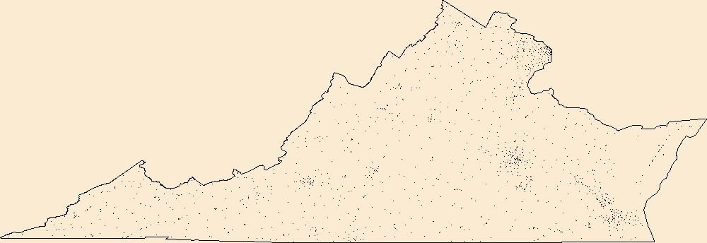
Geospatial data includes structures and other selected map features.
Tags: Accomack,
Albemarle,
Alexandria,
Alleghany,
Amelia, All tags...
Amherst,
Appomattox,
Arlington,
Augusta,
Bath,
Bedford,
Bland,
Botetourt,
Bristol,
Brunswick,
Buchanan,
Buckingham,
Buena Vista,
Campbell,
Campground,
Caroline,
Carroll,
Charles City,
Charlotte,
Charlottesville,
Chesapeake,
Chesterfield,
Clarke,
College / University,
Colonial Heights,
Courthouse,
Covington,
Craig,
Culpeper,
Cumberland,
Danville,
Dickenson,
Dinwiddie,
Downloadable Data,
Emporia,
Esri Shapefile nan,
Essex,
Fairfax,
Falls Church,
Fauquier,
Fire Station/ EMS Station,
Floyd,
Fluvanna,
Franklin,
Frederick,
Fredericksburg,
Galax,
Giles,
Gloucester,
Goochland,
Grayson,
Greene,
Greensville,
Halifax,
Hampton,
Hanover,
Harrisonburg,
Henrico,
Henry,
Highland,
Hopewell,
Hospital/Medical Center,
Information Center,
Isle of Wight,
James City,
King George,
King William,
King and Queen,
Lancaster,
Law Enforcement,
Lee,
Lexington,
Loudoun,
Louisa,
Lunenburg,
Lynchburg,
Madison,
Manassas,
Manassas Park,
Martinsville,
Mathews,
Mecklenburg,
Middlesex,
Montgomery,
National Structures Dataset (NSD),
National Structures Dataset (NSD),
Nelson,
New Kent,
Newport News,
Norfolk,
Northampton,
Northumberland,
Norton,
Nottoway,
Orange,
Page,
Patrick,
Petersburg,
Pittsylvania,
Poquoson,
Portsmouth,
Post Office,
Powhatan,
Prince Edward,
Prince George,
Prince William,
Prison/ Correctional Facility,
Pulaski,
Radford,
Rappahannock,
Richmond,
Roanoke,
Rockbridge,
Rockingham,
Russell,
Salem,
School,
School:Elementary,
School:High School,
School:Middle School,
Scott,
Shapefile,
Shenandoah,
Smyth,
Southampton,
Spotsylvania,
Stafford,
State,
State,
State Capitol,
Staunton,
Structures,
Suffolk,
Surry,
Sussex,
Tazewell,
Technical School,
Town Hall,
Trade School,
Trailhead,
US,
United States,
VA,
Virginia,
Virginia Beach,
Visitor Center,
Warren,
Washington,
Waynesboro,
Westmoreland,
Williamsburg,
Winchester,
Wise,
Wythe,
York,
structure, Fewer tags
Geospatial data includes structures and other selected map features.
Tags: Adams,
Allegheny,
Armstrong,
Beaver,
Bedford, All tags...
Berks,
Blair,
Bradford,
Bucks,
Butler,
Cambria,
Cameron,
Campground,
Carbon,
Centre,
Chester,
Clarion,
Clearfield,
Clinton,
College / University,
Columbia,
Courthouse,
Crawford,
Cumberland,
Dauphin,
Delaware,
Downloadable Data,
Elk,
Erie,
Esri Shapefile nan,
Fayette,
Fire Station/ EMS Station,
Forest,
Franklin,
Fulton,
Greene,
Hospital/Medical Center,
Huntingdon,
Indiana,
Information Center,
Jefferson,
Juniata,
Lackawanna,
Lancaster,
Law Enforcement,
Lawrence,
Lebanon,
Lehigh,
Luzerne,
Lycoming,
McKean,
Mercer,
Mifflin,
Monroe,
Montgomery,
Montour,
National Structures Dataset (NSD),
National Structures Dataset (NSD),
Northampton,
Northumberland,
PA,
Pennsylvania,
Perry,
Philadelphia,
Pike,
Post Office,
Potter,
Prison/ Correctional Facility,
School,
School:Elementary,
School:High School,
School:Middle School,
Schuylkill,
Shapefile,
Snyder,
Somerset,
State,
State,
State Capitol,
Structures,
Sullivan,
Susquehanna,
Technical School,
Tioga,
Town Hall,
Trade School,
Trailhead,
US,
Union,
United States,
Venango,
Visitor Center,
Warren,
Washington,
Wayne,
Westmoreland,
Wyoming,
York,
structure, Fewer tags
Geospatial data includes structures and other selected map features.
Tags: Adams,
Barnes,
Benson,
Billings,
Bottineau, All tags...
Bowman,
Burke,
Burleigh,
Campground,
Cass,
Cavalier,
College / University,
Courthouse,
Dickey,
Divide,
Downloadable Data,
Dunn,
Eddy,
Emmons,
Esri Shapefile nan,
Fire Station/ EMS Station,
Foster,
Golden Valley,
Grand Forks,
Grant,
Griggs,
Hettinger,
Hospital/Medical Center,
Information Center,
Kidder,
LaMoure,
Law Enforcement,
Logan,
McHenry,
McIntosh,
McKenzie,
McLean,
Mercer,
Morton,
Mountrail,
ND,
National Structures Dataset (NSD),
National Structures Dataset (NSD),
Nelson,
North Dakota,
Oliver,
Pembina,
Pierce,
Post Office,
Prison/ Correctional Facility,
Ramsey,
Ransom,
Renville,
Richland,
Rolette,
Sargent,
School,
School:Elementary,
School:High School,
School:Middle School,
Shapefile,
Sheridan,
Sioux,
Slope,
Stark,
State,
State,
State Capitol,
Steele,
Structures,
Stutsman,
Technical School,
Town Hall,
Towner,
Trade School,
Trailhead,
Traill,
US,
United States,
Visitor Center,
Walsh,
Ward,
Wells,
Williams,
structure, Fewer tags
Geospatial data includes structures and other selected map features.
Tags: Anderson,
Andrews,
Angelina,
Aransas,
Archer, All tags...
Armstrong,
Atascosa,
Austin,
Bailey,
Bandera,
Bastrop,
Baylor,
Bee,
Bell,
Bexar,
Blanco,
Borden,
Bosque,
Bowie,
Brazoria,
Brazos,
Brewster,
Briscoe,
Brooks,
Brown,
Burleson,
Burnet,
Caldwell,
Calhoun,
Callahan,
Cameron,
Camp,
Campground,
Carson,
Cass,
Castro,
Chambers,
Cherokee,
Childress,
Clay,
Cochran,
Coke,
Coleman,
College / University,
Collin,
Collingsworth,
Colorado,
Comal,
Comanche,
Concho,
Cooke,
Coryell,
Cottle,
Courthouse,
Crane,
Crockett,
Crosby,
Culberson,
Dallam,
Dallas,
Dawson,
DeWitt,
Deaf Smith,
Delta,
Denton,
Dickens,
Dimmit,
Donley,
Downloadable Data,
Duval,
Eastland,
Ector,
Edwards,
El Paso,
Ellis,
Erath,
Esri Shapefile nan,
Falls,
Fannin,
Fayette,
Fire Station/ EMS Station,
Fisher,
Floyd,
Foard,
Fort Bend,
Franklin,
Freestone,
Frio,
Gaines,
Galveston,
Garza,
Gillespie,
Glasscock,
Goliad,
Gonzales,
Gray,
Grayson,
Gregg,
Grimes,
Guadalupe,
Hale,
Hall,
Hamilton,
Hansford,
Hardeman,
Hardin,
Harris,
Harrison,
Hartley,
Haskell,
Hays,
Hemphill,
Henderson,
Hidalgo,
Hill,
Hockley,
Hood,
Hopkins,
Hospital/Medical Center,
Houston,
Howard,
Hudspeth,
Hunt,
Hutchinson,
Information Center,
Irion,
Jack,
Jackson,
Jasper,
Jeff Davis,
Jefferson,
Jim Hogg,
Jim Wells,
Johnson,
Jones,
Karnes,
Kaufman,
Kendall,
Kenedy,
Kent,
Kerr,
Kimble,
King,
Kinney,
Kleberg,
Knox,
La Salle,
Lamar,
Lamb,
Lampasas,
Lavaca,
Law Enforcement,
Lee,
Leon,
Liberty,
Limestone,
Lipscomb,
Live Oak,
Llano,
Loving,
Lubbock,
Lynn,
Madison,
Marion,
Martin,
Mason,
Matagorda,
Maverick,
McCulloch,
McLennan,
McMullen,
Medina,
Menard,
Midland,
Milam,
Mills,
Mitchell,
Montague,
Montgomery,
Moore,
Morris,
Motley,
Nacogdoches,
National Structures Dataset (NSD),
National Structures Dataset (NSD),
Navarro,
Newton,
Nolan,
Nueces,
Ochiltree,
Oldham,
Orange,
Palo Pinto,
Panola,
Parker,
Parmer,
Pecos,
Polk,
Post Office,
Potter,
Presidio,
Prison/ Correctional Facility,
Rains,
Randall,
Reagan,
Real,
Red River,
Reeves,
Refugio,
Roberts,
Robertson,
Rockwall,
Runnels,
Rusk,
Sabine,
San Augustine,
San Jacinto,
San Patricio,
San Saba,
Schleicher,
School,
School:Elementary,
School:High School,
School:Middle School,
Scurry,
Shackelford,
Shapefile,
Shelby,
Sherman,
Smith,
Somervell,
Starr,
State,
State,
State Capitol,
Stephens,
Sterling,
Stonewall,
Structures,
Sutton,
Swisher,
TX,
Tarrant,
Taylor,
Technical School,
Terrell,
Terry,
Texas,
Throckmorton,
Titus,
Tom Green,
Town Hall,
Trade School,
Trailhead,
Travis,
Trinity,
Tyler,
US,
United States,
Upshur,
Upton,
Uvalde,
Val Verde,
Van Zandt,
Victoria,
Visitor Center,
Walker,
Waller,
Ward,
Washington,
Webb,
Wharton,
Wheeler,
Wichita,
Wilbarger,
Willacy,
Williamson,
Wilson,
Winkler,
Wise,
Wood,
Yoakum,
Young,
Zapata,
Zavala,
structure, Fewer tags
Geospatial data includes structures and other selected map features.
Tags: Alameda,
Alpine,
Amador,
Butte,
CA, All tags...
Calaveras,
California,
Campground,
College / University,
Colusa,
Contra Costa,
Courthouse,
Del Norte,
Downloadable Data,
El Dorado,
Esri File GeoDatabase 10,
FileGDB,
Fire Station/ EMS Station,
Fresno,
Glenn,
Hospital/Medical Center,
Humboldt,
Imperial,
Information Center,
Inyo,
Kern,
Kings,
Lake,
Lassen,
Law Enforcement,
Los Angeles,
Madera,
Marin,
Mariposa,
Mendocino,
Merced,
Modoc,
Mono,
Monterey,
Napa,
National Structures Dataset (NSD),
National Structures Dataset (NSD),
Nevada,
Orange,
Placer,
Plumas,
Post Office,
Prison/ Correctional Facility,
Riverside,
Sacramento,
San Benito,
San Bernardino,
San Diego,
San Francisco,
San Joaquin,
San Luis Obispo,
San Mateo,
Santa Barbara,
Santa Clara,
Santa Cruz,
School,
School:Elementary,
School:High School,
School:Middle School,
Shasta,
Sierra,
Siskiyou,
Solano,
Sonoma,
Stanislaus,
State,
State,
State Capitol,
Structures,
Sutter,
Technical School,
Tehama,
Town Hall,
Trade School,
Trailhead,
Trinity,
Tulare,
Tuolumne,
US,
United States,
Ventura,
Visitor Center,
Yolo,
Yuba,
structure, Fewer tags
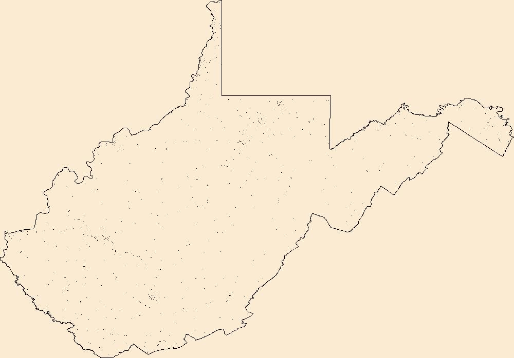
Geospatial data includes structures and other selected map features.
Tags: Barbour,
Berkeley,
Boone,
Braxton,
Brooke, All tags...
Cabell,
Calhoun,
Campground,
Clay,
College / University,
Courthouse,
Doddridge,
Downloadable Data,
Esri Shapefile nan,
Fayette,
Fire Station/ EMS Station,
Gilmer,
Grant,
Greenbrier,
Hampshire,
Hancock,
Hardy,
Harrison,
Hospital/Medical Center,
Information Center,
Jackson,
Jefferson,
Kanawha,
Law Enforcement,
Lewis,
Lincoln,
Logan,
Marion,
Marshall,
Mason,
McDowell,
Mercer,
Mineral,
Mingo,
Monongalia,
Monroe,
Morgan,
National Structures Dataset (NSD),
National Structures Dataset (NSD),
Nicholas,
Ohio,
Pendleton,
Pleasants,
Pocahontas,
Post Office,
Preston,
Prison/ Correctional Facility,
Putnam,
Raleigh,
Randolph,
Ritchie,
Roane,
School,
School:Elementary,
School:High School,
School:Middle School,
Shapefile,
State,
State,
State Capitol,
Structures,
Summers,
Taylor,
Technical School,
Town Hall,
Trade School,
Trailhead,
Tucker,
Tyler,
US,
United States,
Upshur,
Visitor Center,
WV,
Wayne,
Webster,
West Virginia,
Wetzel,
Wirt,
Wood,
Wyoming,
structure, Fewer tags
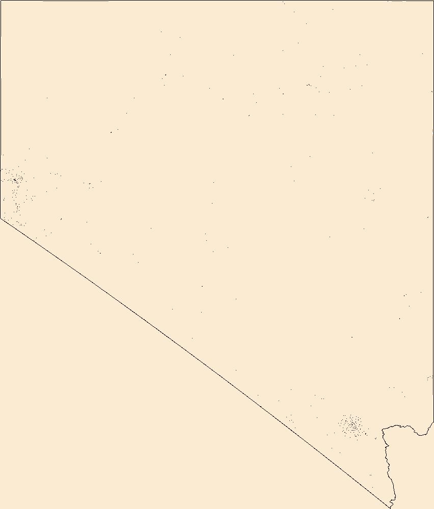
Geospatial data includes structures and other selected map features.
Tags: Campground,
Carson City,
Churchill,
Clark,
College / University, All tags...
Courthouse,
Douglas,
Downloadable Data,
Elko,
Esmeralda,
Esri File GeoDatabase 10,
Eureka,
FileGDB,
Fire Station/ EMS Station,
Hospital/Medical Center,
Humboldt,
Information Center,
Lander,
Law Enforcement,
Lincoln,
Lyon,
Mineral,
NV,
National Structures Dataset (NSD),
National Structures Dataset (NSD),
Nevada,
Nye,
Pershing,
Post Office,
Prison/ Correctional Facility,
School,
School:Elementary,
School:High School,
School:Middle School,
State,
State,
State Capitol,
Storey,
Structures,
Technical School,
Town Hall,
Trade School,
Trailhead,
US,
United States,
Visitor Center,
Washoe,
White Pine,
structure, Fewer tags
|
|

