Filters
Date Range
Extensions
Types
Contacts
Categories
Tag Types
Tag Schemes
|

In advance of design, permitting, and construction of a pipeline to deliver North Slope natural gas to out-of-state customers and Alaska communities, the Division of Geological & Geophysical Surveys (DGGS) has acquired lidar (light detection and ranging) data along proposed pipeline routes, nearby areas of infrastructure, and regions where significant geologic hazards have been identified. Lidar data will serve multiple purposes, but have primarily been collected to (1) evaluate active faulting, slope instability, thaw settlement, erosion, and other engineering constraints along proposed pipeline routes, and (2) provide a base layer for the state-federal GIS database that will be used to evaluate permit applications...
Tags: Alaska Highway Corridor,
Alaska Pipeline,
Alaska, State of,
Gasline,
Geomorphology, All tags...
Lidar,
Lidar Lake Polygons,
Nabesna Quadrangle,
Proposed Natural Gas Pipeline,
Remote Sensing,
Shaded Relief,
Topographic Map,
Trans-Alaska Pipeline,
geoscientificInformation, Fewer tags

In advance of design, permitting, and construction of a pipeline to deliver North Slope natural gas to out-of-state customers and Alaska communities, the Division of Geological & Geophysical Surveys (DGGS) has acquired lidar (light detection and ranging) data along proposed pipeline routes, nearby areas of infrastructure, and regions where significant geologic hazards have been identified. Lidar data will serve multiple purposes, but have primarily been collected to (1) evaluate active faulting, slope instability, thaw settlement, erosion, and other engineering constraints along proposed pipeline routes, and (2) provide a base layer for the state-federal GIS database that will be used to evaluate permit applications...
Tags: Alaska Highway Corridor,
Alaska Pipeline,
Alaska, State of,
Gasline,
Geomorphology, All tags...
Lidar,
Lidar Lake Polygons,
Proposed Natural Gas Pipeline,
Remote Sensing,
Shaded Relief,
Topographic Map,
Trans-Alaska Pipeline,
Tyonek Quadrangle,
geoscientificInformation, Fewer tags

In advance of design, permitting, and construction of a pipeline to deliver North Slope natural gas to out-of-state customers and Alaska communities, the Division of Geological & Geophysical Surveys (DGGS) has acquired lidar (light detection and ranging) data along proposed pipeline routes, nearby areas of infrastructure, and regions where significant geologic hazards have been identified. Lidar data will serve multiple purposes, but have primarily been collected to (1) evaluate active faulting, slope instability, thaw settlement, erosion, and other engineering constraints along proposed pipeline routes, and (2) provide a base layer for the state-federal GIS database that will be used to evaluate permit applications...
Tags: Alaska Highway Corridor,
Alaska Pipeline,
Alaska, State of,
Gasline,
Geomorphology, All tags...
Lidar,
Lidar Lake Polygons,
Proposed Natural Gas Pipeline,
Remote Sensing,
Shaded Relief,
Topographic Map,
Trans-Alaska Pipeline,
Wiseman Quadrangle,
geoscientificInformation, Fewer tags

This web map contains the ESRI ArcGIS Online World Topographic Map service, (aka "the community basemap"). The World Topographic Map service is designed to be used as a basemap by GIS professionals and as a reference map by anyone. The service includes administrative boundaries, cities, water features, physiographic features, parks, landmarks, highways, roads, railways, airports, and buildings overlaid on land cover and s
Categories: Data;
Types: ArcGIS REST Map Service,
Map Service;
Tags: Administrative Area,
Airports,
Buildings,
Cities,
Highways, All tags...
Land Cover,
Maps,
Shaded Relief,
Topographic,
community map,
landmarks,
parks,
railroads,
roads,
topo,
topographic maps,
topography,
traps,
water, Fewer tags

This composite shaded relief image dataset depicts generalized bathymetry and topography of the Caribbean region.
Categories: Data,
pre-SM502.8;
Tags: AG,
AI,
AN,
AW,
Anguilla, All tags...
Antigua and Barbuda,
Aruba,
Aves Ridge (6109),
BB,
BS,
BZ,
Bahama Platform (6119),
Bahamas,
Barbados,
Barbados Accretionary Complex (6127),
Barinas-Apure Basin (6097),
Bathymetry,
Beata Ridge (6111),
Belize,
Bonaire Basin (6101),
British Virgin Islands,
CO,
CR,
CU,
Cariaco Basin (6102),
Caribbean,
Caribbean region,
Cayman Islands,
Cayman Ridge (6121),
Cayman Trough (6120),
Cesar Basin (6094),
Chiapas Massif-Nuclear Central America (6122),
Choco Pacific Basin (6087),
Colombia,
Colombian Basin (6112),
Costa Rica,
Cuba,
DM,
DO,
Dominica,
Dominican Republic,
Earth Science,
East Venezuela Basin (6098),
El Salvador,
Falcon Basin (6100),
Florida Peninsula (5050),
GD,
GP,
GT,
GY,
Geology,
Greater Antilles Deformed Belt (6117),
Grenada,
Grenada Back-Arc Basin (6126),
Guadeloupe,
Guajira Basin (6095),
Guatemala,
Gulf Cenozoic OCS (5097),
Gulf Cenozoic OCS (5098),
Guyana,
Guyana Shield (6002),
Guyana-Suriname Basin (6021),
HN,
HT,
Haiti,
Honduras,
Image,
JM,
Jamaica,
KN,
KY,
LC,
Lesser Antilles Deformed Belt (6107),
Llanos Basin (6096),
Lower Magdelena (6091),
MQ,
MS,
MX,
Macuspana Basin (5306),
Maracaibo Basin (6099),
Martinique,
Maya Mountains (6125),
Mexico,
Middle America Province (6113),
Middle Magdelena (6090),
Monserrat,
NI,
Neogene Volcanic Belt (6108),
Netherlands Antilles,
Nicaragua,
North Caribbean Deformed Belt (6116),
North Nicaraguan Rise (6114),
Ocean (0),
Ocean (1),
PA,
PR,
Pacific Offshore Basin (6088),
Panama,
Perjira-Venezuela-Coastal Ranges (6093),
Puerto Rico,
Puerto Rico Trench (6118),
SV,
Saline-Comalcalco Basin (5304),
Shaded Relief,
Sierra Madre de Chiapas-Peten Foldbelt (5310),
Sierra Nevada de Santa Marta (6105),
South Caribbean Accretionary Prism (6104),
South Nicaraguan Rise (6115),
St. Kitts and Nevis,
St. Lucia,
St. Vincent and the Grenadines,
Surface,
TC,
TT,
Tobago Trough (6103),
Topography,
Trinidad and Tobago,
Turks and Caicos Islands,
U.S. Geological Survey,
US,
USGS,
USGS Science Data Catalog (SDC),
United States,
VC,
VE,
VI,
VQ,
Venezuela,
Venezuelan Basin (6110),
Villahermosa Uplift (5305),
Virgin Islands,
West-Central Cordillera (6106),
Yucatan Basin (6123),
Yucatan Platform (5308),
caribbean,
elevation,
environment,
geoscientificInformation,
imageryBaseMapsEarthCover,
oilgas,
wep,
worldgeologicmaps, Fewer tags
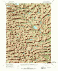
USGS Historical Quadrangle in GeoPDF.
Tags: 15 x 15 minute,
Ashby,
Downloadable Data,
GeoPDF,
GeoTIFF, All tags...
Historical Topographic Maps,
Historical Topographic Maps 15 x 15 Minute Map Series,
Map,
NE,
Shaded Relief,
imageryBaseMapsEarthCover, Fewer tags
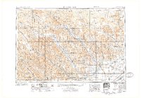
USGS Historical Quadrangle in GeoPDF.
Tags: 1 x 2 degree,
Broken Bow,
Downloadable Data,
GeoPDF,
GeoTIFF, All tags...
Historical Topographic Maps,
Historical Topographic Maps 1 x 2 Degree Map Series,
Map,
NE,
Shaded Relief,
imageryBaseMapsEarthCover, Fewer tags
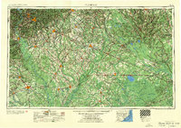
USGS Historical Quadrangle in GeoPDF.
Tags: 1 x 2 degree,
Downloadable Data,
Florence,
GeoPDF,
GeoTIFF, All tags...
Historical Topographic Maps,
Historical Topographic Maps 1 x 2 Degree Map Series,
Map,
SC,
Shaded Relief,
imageryBaseMapsEarthCover, Fewer tags
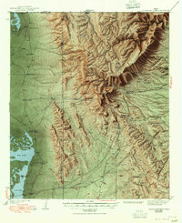
USGS Historical Quadrangle in GeoPDF.
Tags: 15 x 15 minute,
Downloadable Data,
GeoPDF,
GeoTIFF,
Guadalupe Peak, All tags...
Historical Topographic Maps,
Historical Topographic Maps 15 x 15 Minute Map Series,
Map,
Shaded Relief,
TX,
imageryBaseMapsEarthCover, Fewer tags
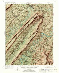
USGS Historical Quadrangle in GeoPDF.
Tags: 15 x 15 minute,
Downloadable Data,
GeoPDF,
GeoTIFF,
Historical Topographic Maps, All tags...
Historical Topographic Maps 15 x 15 Minute Map Series,
Map,
Shaded Relief,
Strasburg,
VA,
imageryBaseMapsEarthCover, Fewer tags
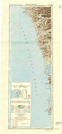
USGS Historical Quadrangle in GeoPDF.
Tags: 2 x 1 degree,
Copalis Beach,
Downloadable Data,
GeoPDF,
GeoTIFF, All tags...
Historical Topographic Maps,
Historical Topographic Maps 2 x 1 Degree Map Series,
Map,
Shaded Relief,
WA,
imageryBaseMapsEarthCover, Fewer tags
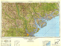
USGS Historical Quadrangle in GeoPDF.
Tags: 1 x 2 degree,
Downloadable Data,
GA,
GeoPDF,
GeoTIFF, All tags...
Historical Topographic Maps,
Historical Topographic Maps 1 x 2 Degree Map Series,
Map,
Savannah,
Shaded Relief,
imageryBaseMapsEarthCover, Fewer tags
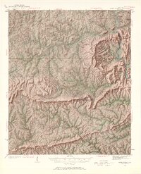
USGS Historical Quadrangle in GeoPDF.
Tags: 15 x 15 minute,
Downloadable Data,
GA,
GeoPDF,
GeoTIFF, All tags...
Historical Topographic Maps,
Historical Topographic Maps 15 x 15 Minute Map Series,
Map,
Shaded Relief,
Warm Springs,
imageryBaseMapsEarthCover, Fewer tags
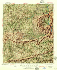
USGS Historical Quadrangle in GeoPDF.
Tags: 15 x 15 minute,
Downloadable Data,
GA,
GeoPDF,
GeoTIFF, All tags...
Historical Topographic Maps,
Historical Topographic Maps 15 x 15 Minute Map Series,
Map,
Shaded Relief,
Warm Springs,
imageryBaseMapsEarthCover, Fewer tags
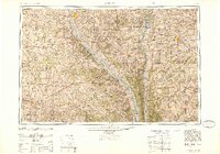
USGS Historical Quadrangle in GeoPDF.
Tags: 1 x 2 degree,
Downloadable Data,
GeoPDF,
GeoTIFF,
Historical Topographic Maps, All tags...
Historical Topographic Maps 1 x 2 Degree Map Series,
IL,
Map,
Quincy,
Shaded Relief,
imageryBaseMapsEarthCover, Fewer tags
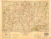
USGS Historical Quadrangle in GeoPDF.
Tags: 1 x 2 degree,
Downloadable Data,
GeoPDF,
GeoTIFF,
Historical Topographic Maps, All tags...
Historical Topographic Maps 1 x 2 Degree Map Series,
Joplin,
MO,
Map,
Shaded Relief,
imageryBaseMapsEarthCover, Fewer tags
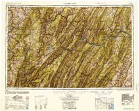
USGS Historical Quadrangle in GeoPDF.
Tags: 1 x 2 degree,
Cumberland,
Downloadable Data,
GeoPDF,
GeoTIFF, All tags...
Historical Topographic Maps,
Historical Topographic Maps 1 x 2 Degree Map Series,
MD,
Map,
Shaded Relief,
imageryBaseMapsEarthCover, Fewer tags
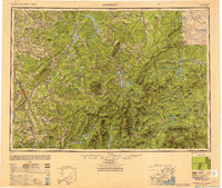
USGS Historical Quadrangle in GeoPDF.
Tags: 1 x 2 degree,
Downloadable Data,
GeoPDF,
GeoTIFF,
Historical Topographic Maps, All tags...
Historical Topographic Maps 1 x 2 Degree Map Series,
Jackman,
ME,
Map,
Shaded Relief,
imageryBaseMapsEarthCover, Fewer tags
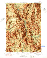
USGS Historical Quadrangle in GeoPDF.
Tags: 15 x 15 minute,
Crawford Notch,
Downloadable Data,
GeoPDF,
GeoTIFF, All tags...
Historical Topographic Maps,
Historical Topographic Maps 15 x 15 Minute Map Series,
Map,
NH,
Shaded Relief,
imageryBaseMapsEarthCover, Fewer tags
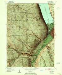
USGS Historical Quadrangle in GeoPDF.
Tags: 7.5 x 7.5 minute,
Downloadable Data,
GeoPDF,
GeoTIFF,
Historical Topographic Maps, All tags...
Historical Topographic Maps 7.5 x 7.5 Minute Map Series,
Ithaca West,
Map,
NY,
Shaded Relief,
imageryBaseMapsEarthCover, Fewer tags
|
|
