Filters: Tags: Shaded Relief (X)
742 results (65ms)|
Filters
Date Range
Extensions (Less) Types (Less)
Contacts (Less)
Categories (Less) Tag Types Tag Schemes
|
In advance of design, permitting, and construction of a pipeline to deliver North Slope natural gas to out-of-state customers and Alaska communities, the Division of Geological & Geophysical Surveys (DGGS) has acquired lidar (light detection and ranging) data along proposed pipeline routes, nearby areas of infrastructure, and regions where significant geologic hazards have been identified. Lidar data will serve multiple purposes, but have primarily been collected to (1) evaluate active faulting, slope instability, thaw settlement, erosion, and other engineering constraints along proposed pipeline routes, and (2) provide a base layer for the state-federal GIS database that will be used to evaluate permit applications...
In advance of design, permitting, and construction of a pipeline to deliver North Slope natural gas to out-of-state customers and Alaska communities, the Division of Geological & Geophysical Surveys (DGGS) has acquired lidar (light detection and ranging) data along proposed pipeline routes, nearby areas of infrastructure, and regions where significant geologic hazards have been identified. Lidar data will serve multiple purposes, but have primarily been collected to (1) evaluate active faulting, slope instability, thaw settlement, erosion, and other engineering constraints along proposed pipeline routes, and (2) provide a base layer for the state-federal GIS database that will be used to evaluate permit applications...
In advance of design, permitting, and construction of a pipeline to deliver North Slope natural gas to out-of-state customers and Alaska communities, the Division of Geological & Geophysical Surveys (DGGS) has acquired lidar (light detection and ranging) data along proposed pipeline routes, nearby areas of infrastructure, and regions where significant geologic hazards have been identified. Lidar data will serve multiple purposes, but have primarily been collected to (1) evaluate active faulting, slope instability, thaw settlement, erosion, and other engineering constraints along proposed pipeline routes, and (2) provide a base layer for the state-federal GIS database that will be used to evaluate permit applications...
This web map contains the ESRI ArcGIS Online World Topographic Map service, (aka "the community basemap"). The World Topographic Map service is designed to be used as a basemap by GIS professionals and as a reference map by anyone. The service includes administrative boundaries, cities, water features, physiographic features, parks, landmarks, highways, roads, railways, airports, and buildings overlaid on land cover and s
Categories: Data;
Types: ArcGIS REST Map Service,
Map Service;
Tags: Administrative Area,
Airports,
Buildings,
Cities,
Highways,
This composite shaded relief image dataset depicts generalized bathymetry and topography of the Caribbean region.
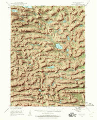
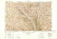
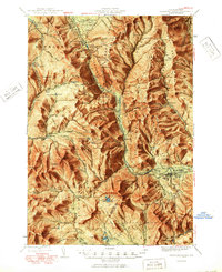
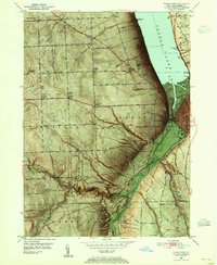
USGS Historical Quadrangle in GeoPDF.

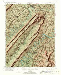
USGS Historical Quadrangle in GeoPDF.

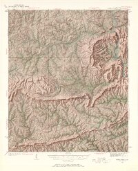
USGS Historical Quadrangle in GeoPDF.

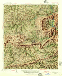
USGS Historical Quadrangle in GeoPDF.
USGS Historical Quadrangle in GeoPDF.

USGS Historical Quadrangle in GeoPDF.

USGS Historical Quadrangle in GeoPDF.
USGS Historical Quadrangle in GeoPDF.
USGS Historical Quadrangle in GeoPDF.
USGS Historical Quadrangle in GeoPDF.

USGS Historical Quadrangle in GeoPDF.

USGS Historical Quadrangle in GeoPDF.

USGS Historical Quadrangle in GeoPDF.
USGS Historical Quadrangle in GeoPDF.
USGS Historical Quadrangle in GeoPDF.
|

|
