Filters: Tags: Shannon (X)
746 results (129ms)|
Filters
Date Range
Types Contacts
Categories Tag Types Tag Schemes |
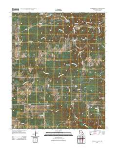
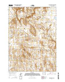
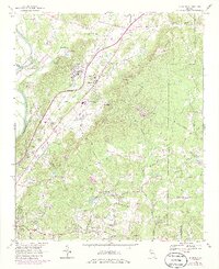
Layered GeoPDF 7.5 Minute Quadrangle Map. Layers of geospatial data include orthoimagery, roads, grids, geographic names, elevation contours, hydrography, and other selected map features.
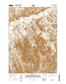
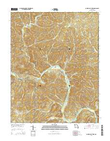
Layered GeoPDF 7.5 Minute Quadrangle Map. Layers of geospatial data include orthoimagery, roads, grids, geographic names, elevation contours, hydrography, and other selected map features.
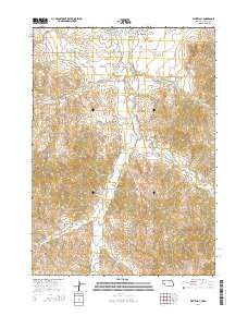
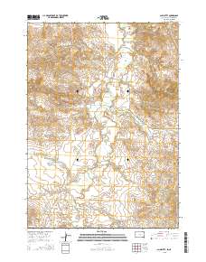
Layered GeoPDF 7.5 Minute Quadrangle Map. Layers of geospatial data include orthoimagery, roads, grids, geographic names, elevation contours, hydrography, and other selected map features.
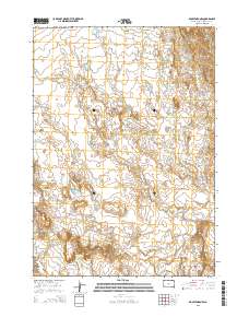
Layered GeoPDF 7.5 Minute Quadrangle Map. Layers of geospatial data include orthoimagery, roads, grids, geographic names, elevation contours, hydrography, and other selected map features.
Layered GeoPDF 7.5 Minute Quadrangle Map. Layers of geospatial data include orthoimagery, roads, grids, geographic names, elevation contours, hydrography, and other selected map features.
Layered GeoPDF 7.5 Minute Quadrangle Map. Layers of geospatial data include orthoimagery, roads, grids, geographic names, elevation contours, hydrography, and other selected map features.
Layered GeoPDF 7.5 Minute Quadrangle Map. Layers of geospatial data include orthoimagery, roads, grids, geographic names, elevation contours, hydrography, and other selected map features.
Layered GeoPDF 7.5 Minute Quadrangle Map. Layers of geospatial data include orthoimagery, roads, grids, geographic names, elevation contours, hydrography, and other selected map features.
Layered GeoPDF 7.5 Minute Quadrangle Map. Layers of geospatial data include orthoimagery, roads, grids, geographic names, elevation contours, hydrography, and other selected map features.
Layered GeoPDF 7.5 Minute Quadrangle Map. Layers of geospatial data include orthoimagery, roads, grids, geographic names, elevation contours, hydrography, and other selected map features.
Layered GeoPDF 7.5 Minute Quadrangle Map. Layers of geospatial data include orthoimagery, roads, grids, geographic names, elevation contours, hydrography, and other selected map features.
Layered GeoPDF 7.5 Minute Quadrangle Map. Layers of geospatial data include orthoimagery, roads, grids, geographic names, elevation contours, hydrography, and other selected map features.
Geospatial data includes structures and other selected map features.
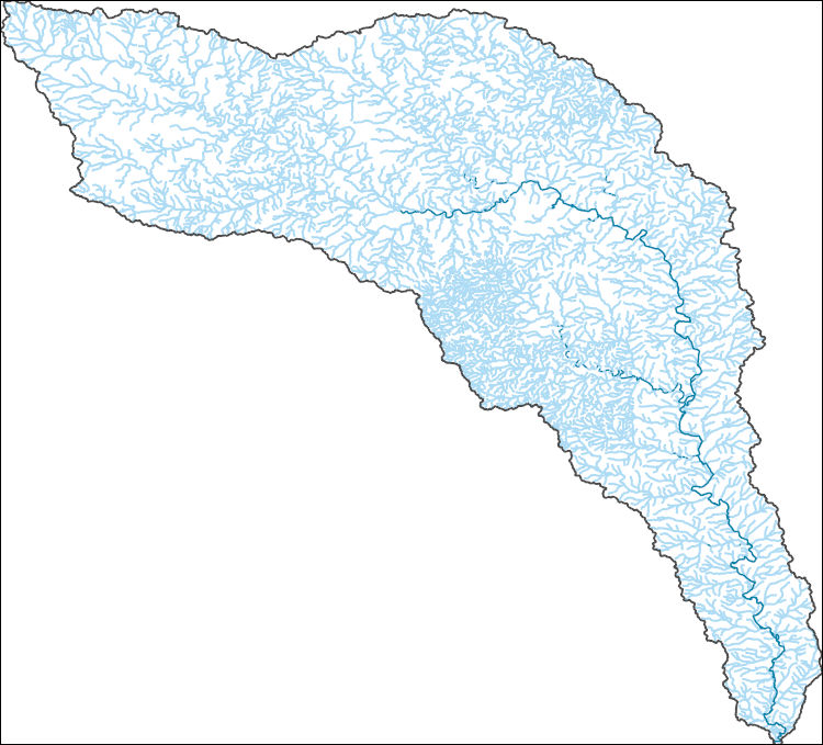
The National Hydrography Dataset (NHD) is a feature-based database that interconnects and uniquely identifies the stream segments or reaches that make up the nation's surface water drainage system. NHD data was originally developed at 1:100,000-scale and exists at that scale for the whole country. This high-resolution NHD, generally developed at 1:24,000/1:12,000 scale, adds detail to the original 1:100,000-scale NHD. (Data for Alaska, Puerto Rico and the Virgin Islands was developed at high-resolution, not 1:100,000 scale.) Local resolution NHD is being developed where partners and data exist. The NHD contains reach codes for networked features, flow direction, names, and centerline representations for areal water...
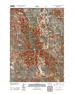
USGS Historical Quadrangle in GeoPDF.
Core Research Center, cutting HH01754, from well operated by SPYGLASS CEDAR CREEKRaw Properties from download, web scrape, MapServer, and Macrostrat API{"Lib Num": "HH01754", "API Num": "4006320640", "Operator": "SPYGLASS CEDAR CREEK", "Well Name": "10-35 STATE", "Field": "JUMPOFF", "State": "SD", "County": "HARDING", "Thin Sec": "F", "Analysis": "F", "Latitude": "45.47832", "Longitude": "-103.59344", "coordinates_geohash": "c8n6dxjd3vk3", "Source": "PROVIDED BY DONOR", "Min": "440", "Max": "1941", "Security Flag": null, "crc_collection_name": "cutting", "sb_parent_id": "4f4e49d8e4b07f02db5df2d2", "intervals": [{"Formation": "SHANNON", "Age": "CRETACEOUS", "Min Depth": "1603", "Max Depth": "1941"}, {"Formation":...
Categories: Physical Item;
Tags: CRETACEOUS,
CRETACEOUS,
EAGLE,
Hell Creek Formation,
Hell Creek Formation,
Core Research Center, cutting HH01741, from well operated by SPYGLASS CEDAR CREEKRaw Properties from download, web scrape, MapServer, and Macrostrat API{"Lib Num": "HH01741", "API Num": "4006320644", "Operator": "SPYGLASS CEDAR CREEK", "Well Name": "8-24 HETT DOWN", "Field": "JUMPOFF", "State": "SD", "County": "HARDING", "Thin Sec": "F", "Analysis": "T", "Latitude": "45.51125", "Longitude": "-103.6917", "coordinates_geohash": "c8n6bmn40rbt", "Source": "PROVIDED BY DONOR", "Min": "559", "Max": "1905", "Security Flag": null, "crc_collection_name": "cutting", "sb_parent_id": "4f4e49d8e4b07f02db5df2d2", "intervals": [{"Formation": "SHANNON", "Age": "CRETACEOUS", "Min Depth": "1523", "Max Depth": "1905"}, {"Formation":...
Categories: Physical Item;
Tags: CRETACEOUS,
CRETACEOUS,
EAGLE,
Hell Creek Formation,
Hell Creek Formation,
Core Research Center, core F044, from well operated by PRESIDIO EXPL INCRaw Properties from download, web scrape, MapServer, and Macrostrat API{"Lib Num": "F044", "API Num": "4901920968", "Operator": "PRESIDIO EXPL INC", "Well Name": "H-108 CULP DRAW UNIT", "Field": "CULP DRAW", "State": "WY", "County": "JOHNSON", "Type": "SLABBED", "Photos": "T", "Thin Sec": "F", "Analysis": "T", "Latitude": "43.88746", "Longitude": "-106.02776", "coordinates_geohash": "9xu9em2yypeb", "Source": "FROM STATE RECORDS", "Security Flag": "NO SPECIAL RESTRICTIONS", "crc_collection_name": "core", "sb_parent_id": "4f4e49dae4b07f02db5e0486", "intervals": [{"Formation": "SHANNON", "Age": "CRET", "Min Depth": "9374", "Max Depth": "9398"}],...
Categories: Physical Item;
Tags: CRET,
Eocene and Paleocene?,
SHANNON,
Wasatch Formation,
Wasatch Formation
Core Research Center, core C200, from well operated by AMOCO PRODUCTIONRaw Properties from download, web scrape, MapServer, and Macrostrat API{"Lib Num": "C200", "API Num": "0512307970", "Operator": "AMOCO PRODUCTION", "Well Name": "1 MAX SERAFINI", "Field": "WATTENBERG", "State": "CO", "County": "WELD", "Type": "SLABBED", "Photos": "T", "Thin Sec": "F", "Analysis": "T", "Latitude": "40.13412", "Longitude": "-105.01341", "coordinates_geohash": "9xjk665w4nnp", "Source": "FROM STATE RECORDS", "Security Flag": "NO SPECIAL RESTRICTIONS", "crc_collection_name": "core", "sb_parent_id": "4f4e49dae4b07f02db5e0486", "intervals": [{"Formation": "SUSSEX", "Age": "CRET", "Min Depth": "4295", "Max Depth": "4355"}, {"Formation":...
Core Research Center, core E029, from well operated by CALIFORNIA OILRaw Properties from download, web scrape, MapServer, and Macrostrat API{"Lib Num": "E029", "API Num": "4902505815", "Operator": "CALIFORNIA OIL", "Well Name": "1 C O TWIDALE", "Field": "WALLACE CREEK", "State": "WY", "County": "NATRONA", "Type": "SLABBED", "Photos": "T", "Thin Sec": "T", "Analysis": "T", "Latitude": "42.89472", "Longitude": "-107.26194", "coordinates_geohash": "9xesp0wpzeke", "Source": "FROM STATE RECORDS", "Security Flag": "NO SPECIAL RESTRICTIONS", "crc_collection_name": "core", "sb_parent_id": "4f4e49dae4b07f02db5e0486", "intervals": [{"Formation": "MESAVERDE", "Age": "CRET", "Min Depth": "3008", "Max Depth": "3058"}, {"Formation":...
|

|
