Filters: Tags: Sheridan County (X)
890 results (339ms)|
Filters
Date Range
Extensions Types
Contacts
Categories Tag Types
|
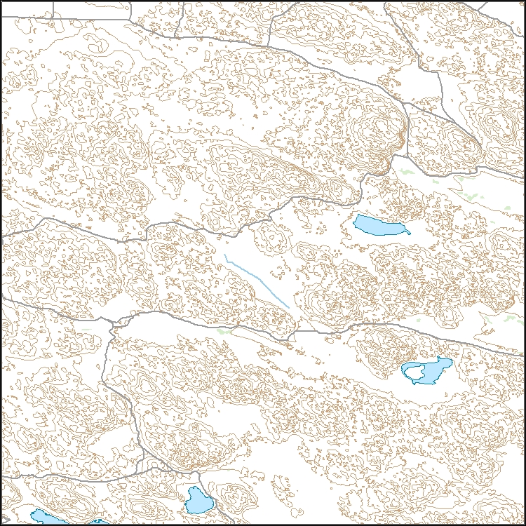
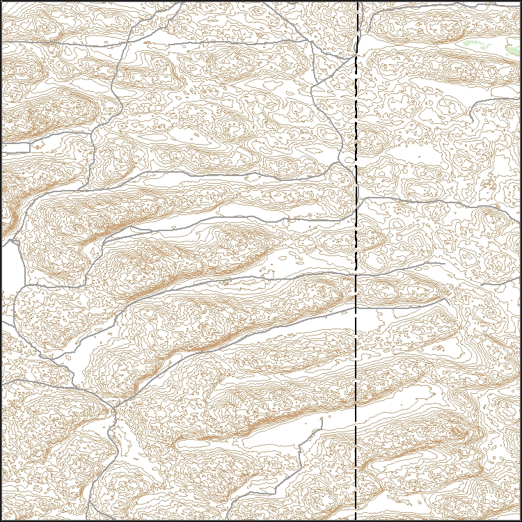
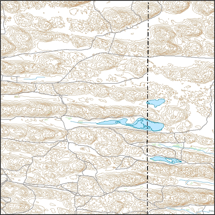
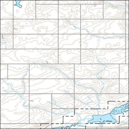
Layers of geospatial data include contours, boundaries, land cover, hydrography, roads, transportation, geographic names, structures, and other selected map features.
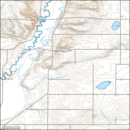
Layers of geospatial data include contours, boundaries, land cover, hydrography, roads, transportation, geographic names, structures, and other selected map features.
TONGUE RIVER NEAR DAYTON, WY
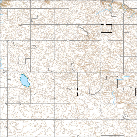
Layers of geospatial data include contours, boundaries, land cover, hydrography, roads, transportation, geographic names, structures, and other selected map features.
Types: Citation;
Tags: 7.5 x 7.5 minute,
7.5 x 7.5 minute,
Combined Vector,
Combined Vector,
Combined Vector,
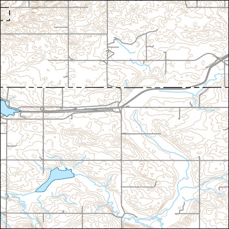
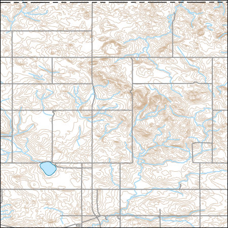
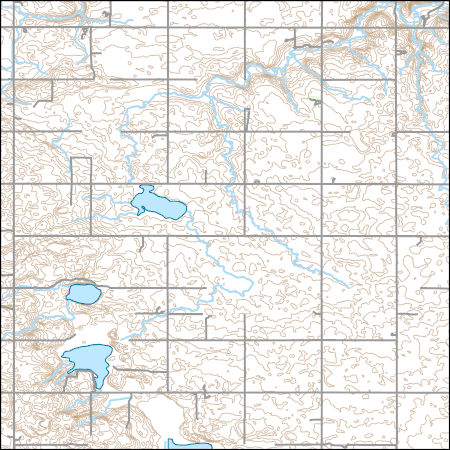
Layers of geospatial data include contours, boundaries, land cover, hydrography, roads, transportation, geographic names, structures, and other selected map features.
TONGUE RIVER NEAR DAYTON, WY
TONGUE RIVER NEAR DAYTON, WY
TONGUE RIVER NEAR DAYTON, WY
Big Muddy Creek near Antelope MT
Layers of geospatial data include contours, boundaries, land cover, hydrography, roads, transportation, geographic names, structures, and other selected map features.
Sheridan County's Interactive Internet Mapping is now available. Make sure your internet browsers pop up blocker is disabled on the launch page. Be sure to check out the tutorial that can be accessed from the launch page of the site. It only takes 15 to 20 minutes and is highly recommended prior to using the site in order to utilize the site at it's full capability.
USGS Topo Map Vector Data (Vector) 37652 Reserve, Montana 20200720 for 7.5 x 7.5 minute FileGDB 10.1
Layers of geospatial data include contours, boundaries, land cover, hydrography, roads, transportation, geographic names, structures, and other selected map features.
Types: Citation;
Tags: 7.5 x 7.5 minute,
7.5 x 7.5 minute,
Combined Vector,
Combined Vector,
Combined Vector,
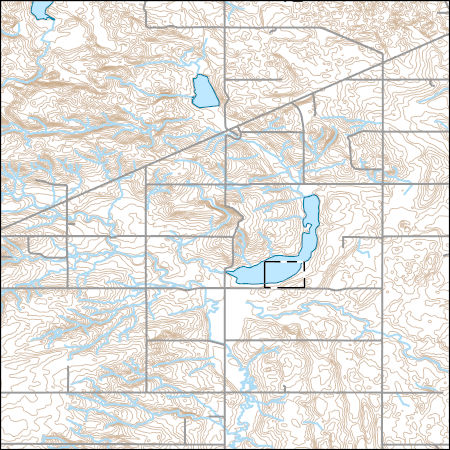
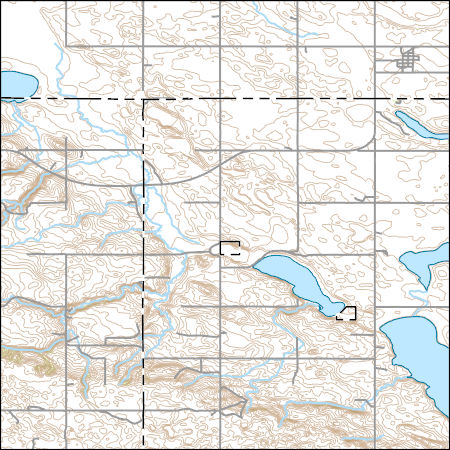
Layers of geospatial data include contours, boundaries, land cover, hydrography, roads, transportation, geographic names, structures, and other selected map features.
Types: Citation;
Tags: 7.5 x 7.5 minute,
7.5 x 7.5 minute,
Combined Vector,
Combined Vector,
Combined Vector,
Layers of geospatial data include contours, boundaries, land cover, hydrography, roads, transportation, geographic names, structures, and other selected map features.
Types: Citation;
Tags: 7.5 x 7.5 minute,
7.5 x 7.5 minute,
Combined Vector,
Combined Vector,
Combined Vector,
Layers of geospatial data include contours, boundaries, land cover, hydrography, roads, transportation, geographic names, structures, and other selected map features.
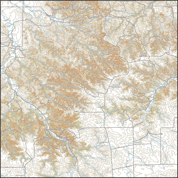
Layers of geospatial data include contours, boundaries, land cover, hydrography, roads, transportation, geographic names, structures, and other selected map features.
Types: Citation;
Tags: 7.5 x 7.5 minute,
7.5 x 7.5 minute,
Combined Vector,
Combined Vector,
Combined Vector,
Layers of geospatial data include contours, boundaries, land cover, hydrography, roads, transportation, geographic names, structures, and other selected map features.
Types: Citation;
Tags: 7.5 x 7.5 minute,
7.5 x 7.5 minute,
Combined Vector,
Combined Vector,
Combined Vector,
The USGS and SEO Streamflow Gage Locations dataset with locations where ungaged natural flow estimates were taken contains the latitude-longitude locations for selected gages within the Powder/Tongue River Basin Planning Area. This dataset contains the locations only for those USGS and SEO gages that were used in the Powder/Tongue River Basin Plan to model available flow. The locations where natural flow was estimated for purposes of modeling available flow are also included.
Categories: Data;
Types: Downloadable;
Tags: Campbell County,
Clear Creek,
Converse County,
Crazy Woman Creek,
Crook County,
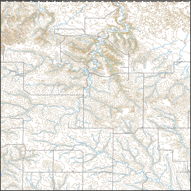
Layers of geospatial data include contours, boundaries, land cover, hydrography, roads, transportation, geographic names, structures, and other selected map features.
Layers of geospatial data include contours, boundaries, land cover, hydrography, roads, transportation, geographic names, structures, and other selected map features.
Types: Citation;
Tags: 7.5 x 7.5 minute,
7.5 x 7.5 minute,
Combined Vector,
Combined Vector,
Combined Vector,
|

|
