Filters: Tags: Spicewood (X)
7 results (40ms)|
Filters
Date Range
Types Contacts
Categories Tag Types Tag Schemes |
This data set contains imagery from the National Agriculture Imagery Program (NAIP). The NAIP program is administered by USDA FSA and has been established to support two main FSA strategic goals centered on agricultural production. These are increase stewardship of America's natural resources while enhancing the environment, and to ensure commodities are procured and distributed effectively and efficiently to increase food security. The NAIP program supports these goals by acquiring and providing ortho imagery that has been collected during the agricultural growing season in the U.S. The NAIP ortho imagery is tailored to meet FSA requirements and is a fundamental tool used to support FSA farm and conservation programs....
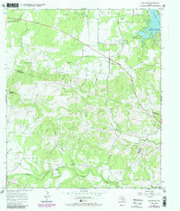
USGS Historical Quadrangle in GeoPDF.
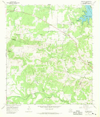
USGS Historical Quadrangle in GeoPDF.
This data release contains self-potential (SP), electrical resistivity tomography (ERT), and water temperature and conductivity data measured during a geophysical survey at the Krause Springs property in Spicewood, Texas. The geophysical survey was completed February 4–15, 2019, over approximately 3.1 acres on the western side of the property adjacent to the main visitor parking lot and entrance facilities. SP data were measured on the land surface within the survey area to locate SP anomalies attributed to groundwater flow. The locations and spatial distribution of the discovered SP anomalies were used to orient four ERT profiles to intersect the SP anomalies. Two ERT profiles, consisting of 84 stainless steel...
Categories: Data;
Tags: Electrical resistivity tomography,
Geophysics,
Groundwater,
Hydrology,
Krause Springs,
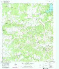
USGS Historical Quadrangle in GeoPDF.
This data set contains imagery from the National Agriculture Imagery Program (NAIP). The NAIP program is administered by USDA FSA and has been established to support two main FSA strategic goals centered on agricultural production. These are increase stewardship of America's natural resources while enhancing the environment, and to ensure commodities are procured and distributed effectively and efficiently to increase food security. The NAIP program supports these goals by acquiring and providing ortho imagery that has been collected during the agricultural growing season in the U.S. The NAIP ortho imagery is tailored to meet FSA requirements and is a fundamental tool used to support FSA farm and conservation programs....
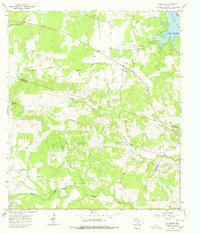
USGS Historical Quadrangle in GeoPDF.
|

|
