Filters: Tags: St. Thomas (X)
193 results (98ms)|
Filters
Date Range
Extensions Types Contacts
Categories Tag Types Tag Schemes
|

An orthoimage is remotely sensed image data in which displacement of features in the image caused by terrain relief and sensor orientation have been mathematically removed. Orthoimagery combines the image characteristics of a photograph with the geometric qualities of a map. There is no image overlap between adjacent files. Data received at Earth Resources Observation and Science Center (EROS) were reprojected from: Projection: NAD_1983_StatePlane_Puerto_Rico_Virgin_Islands_FIPS_5200 Resolution: 0.3000m Type: 4 Band to: Standard Product Projection: NAD_1983_UTM_Zone_20N Standard Product Resolution: 0.3000 m Rows: 5000 Columns: 5000 and resampled to align to the U.S. National Grid (USNG) using The National Map. The...
Types: Citation;
Tags: 0.3 meter orthoimage,
010,
1500 x 1500 meter,
4 Band orthophoto,
Downloadable Data,
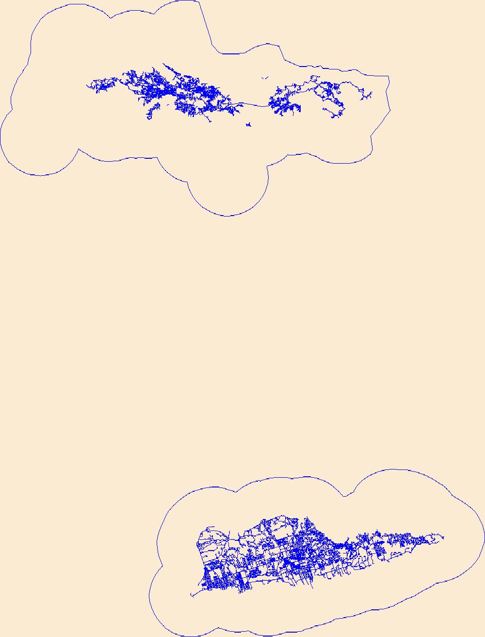
Layers of geospatial data include roads, airports, trails, and railroads.
The Geographic Names Information System (GNIS) is the Federal standard for geographic nomenclature. The U.S. Geological Survey developed the GNIS for the U.S. Board on Geographic Names, a Federal inter-agency body chartered by public law to maintain uniform feature name usage throughout the Government and to promulgate standard names to the public. The GNIS is the official repository of domestic geographic names data; the official vehicle for geographic names use by all departments of the Federal Government; and the source for applying geographic names to Federal electronic and printed products of all types.
This data represents the map extent for current and historical USGS topographic maps for the United States and Territories, including 1 X 2 Degree, 1 X 1 Degree, 30 X 60 Minute, 15 X 15 Minute, 7.5 X 7.5 Minute, and 3.75 X 3.75 Minute. The grid was generated using ESRI ArcInfo GIS software.

An orthoimage is remotely sensed image data in which displacement of features in the image caused by terrain relief and sensor orientation have been mathematically removed. Orthoimagery combines the image characteristics of a photograph with the geometric qualities of a map. There is no image overlap between adjacent files. Data received at Earth Resources Observation and Science Center (EROS) were reprojected from: Projection: NAD_1983_StatePlane_Puerto_Rico_Virgin_Islands_FIPS_5200 Resolution: 0.3000m Type: 4 Band to: Standard Product Projection: NAD_1983_UTM_Zone_20N Standard Product Resolution: 0.3000 m Rows: 5000 Columns: 5000 and resampled to align to the U.S. National Grid (USNG) using The National Map. The...
Types: Citation;
Tags: 0.3 meter orthoimage,
010,
1500 x 1500 meter,
4 Band orthophoto,
Downloadable Data,
This data release provides flooding extent polygons based on wave-driven total water levels for the coral lined coasts of Florida, Puerto Rico, and the U.S. Virgin Islands. The locations of the restoration lines along and across shore were defined by the presence of continuous coral/hardbottom habitat of greater than 100 m alongshore length and proximity to the 3-m depth contour. The wave and sea level conditions were then propagated using XBeach modelling (methoods are available at ) over 100-m spaced shore-normal transects modified to account for three coral reef restoration scenarios. The vertical height of the coral or emplacement of new structure was parameterized by increasing the elevation (decreasing the...
|

|
