Filters: Tags: St. Thomas (X)
193 results (54ms)|
Filters
Date Range
Extensions Types Contacts
Categories Tag Types Tag Schemes
|

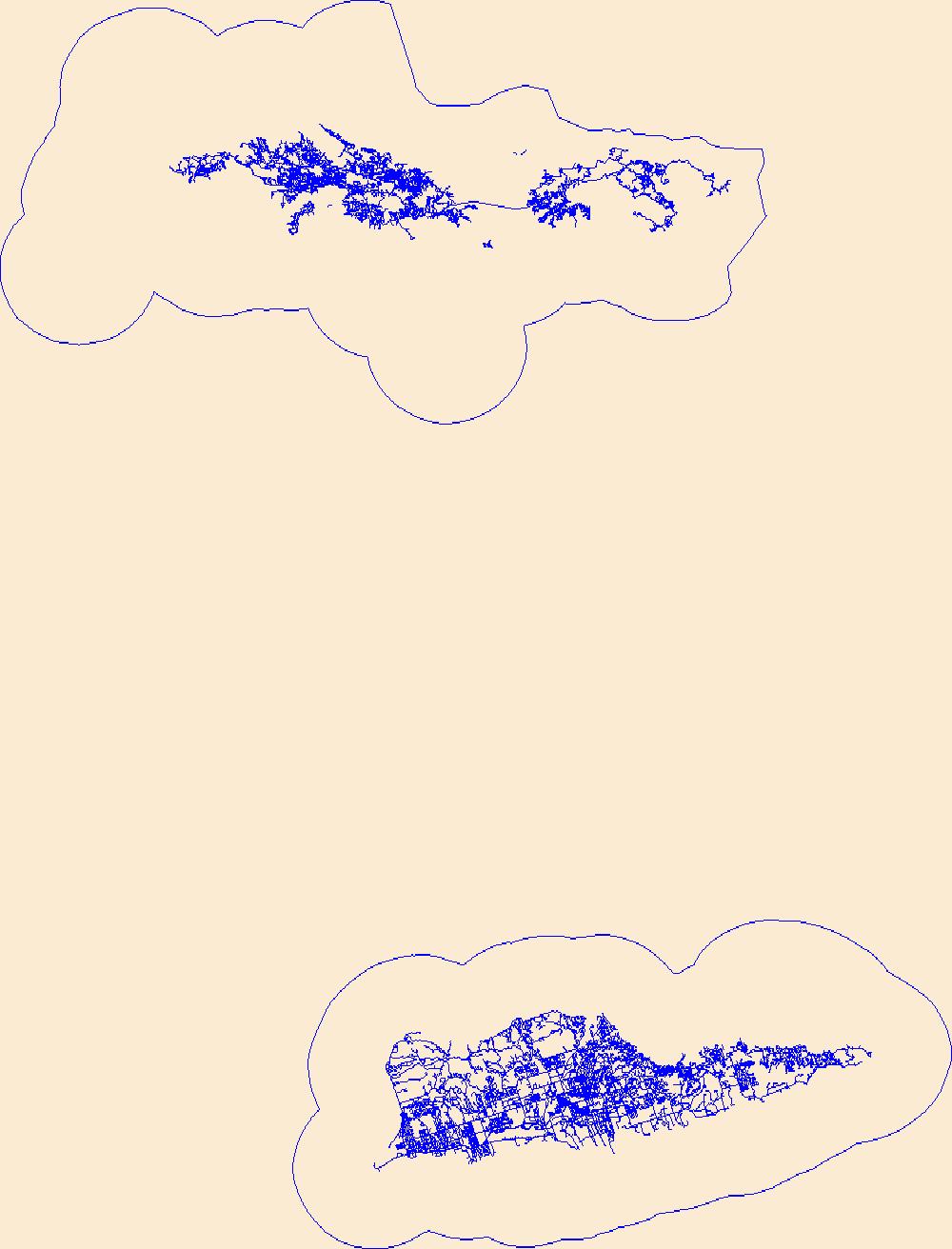
This part of the data release presents projected flooding extent polygon (flood masks) and flooding depth points (flood points) shapefiles based on wave-driven total water levels for the Territory of the U.S. Virgin Islands (the islands of Saint Croix, Saint John, and Saint Thomas). For each island there are 8 associated flood mask and flood depth shapefiles: one for each four nearshore wave energy return periods (rp; 10-, 50-, 100-, and 500-years) and both with (wrf) and without (worf) the presence of coral reefs. Flooding depth point data are also presented as a comma-separated value (.csv) text file.
Categories: Data;
Types: Downloadable,
Map Service,
OGC WFS Layer,
OGC WMS Layer,
Shapefile;
Tags: CMHRP,
Coastal and Marine Hazards and Resources Program,
Coral Reef,
Habitat,
PCMSC,
Layers of geospatial data include roads, airports, trails, and railroads.

An orthoimage is remotely sensed image data in which displacement of features in the image caused by terrain relief and sensor orientation have been mathematically removed. Orthoimagery combines the image characteristics of a photograph with the geometric qualities of a map. There is no image overlap between adjacent files. Data received at Earth Resources Observation and Science Center (EROS) were reprojected from: Projection: NAD_1983_StatePlane_Puerto_Rico_Virgin_Islands_FIPS_5200 Resolution: 0.3000m Type: 4 Band to: Standard Product Projection: NAD_1983_UTM_Zone_20N Standard Product Resolution: 0.3000 m Rows: 5000 Columns: 5000 and resampled to align to the U.S. National Grid (USNG) using The National Map. The...
Types: Citation;
Tags: 0.3 meter orthoimage,
010,
1500 x 1500 meter,
4 Band orthophoto,
Downloadable Data,
Layered GeoPDF Quadrangle Map. Layers of geospatial data include orthoimagery, roads, grids, geographic names, elevation contours, hydrography, and other selected map features.
Geospatial data includes structures and other selected map features.

An orthoimage is remotely sensed image data in which displacement of features in the image caused by terrain relief and sensor orientation have been mathematically removed. Orthoimagery combines the image characteristics of a photograph with the geometric qualities of a map. There is no image overlap between adjacent files. Data received at Earth Resources Observation and Science Center (EROS) were reprojected from: Projection: NAD_1983_StatePlane_Puerto_Rico_Virgin_Islands_FIPS_5200 Resolution: 0.3000m Type: 4 Band to: Standard Product Projection: NAD_1983_UTM_Zone_20N Standard Product Resolution: 0.3000 m Rows: 5000 Columns: 5000 and resampled to align to the U.S. National Grid (USNG) using The National Map. The...
Types: Citation;
Tags: 0.3 meter orthoimage,
010,
1500 x 1500 meter,
4 Band orthophoto,
Downloadable Data,
|

|
