Filters
Date Range
Extensions
Types
Contacts
Categories
Tag Types
Tag Schemes
|
The application of post-combustion capture (PCC) processes in coal fired power stations can result in large reductions of the CO2-emissions, but the consequential decrease in generation efficiency is an important draw-back The leading PCC technology is based on chemical absorption processes as this technology is the one whose scale-up status is closest to full-scale capture in power plants The energy performance of this process is analysed in this contribution. The analysis shows that the potential for improvement of the energy performance is quite large It is demonstrated that further development of the capture technology and the power plant technology can lead to generation efficiencies for power plants with 90%...
Rising global demand for energy, high energy prices, climate change, and the threat of terrorism all point to the need for greater energy efficiency and conservation in the United States. While technological innovation is plainly needed, our laws and institutional arrangements must also play an important role. The United States has scores of legal and policy tools from which to choose to improve energy efficiency and curb energy consumption. This Article, which grows out of a Spring 2006 seminar at theWidener University School of Law, evaluates a handful of these tools: transit-oriented development; fuel taxation; real-time pricing for electricity use; public benefit funds; improving the efficiency of existing residential...
Rising global demand for energy, high energy prices, climate change, and the threat of terrorism all point to the need for greater energy efficiency and conservation in the United States. While technological innovation is plainly needed, our laws and institutional arrangements must also play an important role. The United States has scores of legal and policy tools from which to choose to improve energy efficiency and curb energy consumption. This Article, which grows out of a Spring 2006 seminar at theWidener University School of Law, evaluates a handful of these tools: transit-oriented development; fuel taxation; real-time pricing for electricity use; public benefit funds; improving the efficiency of existing residential...
This paper summarizes the main results of a study on the costs of abatement of CO2 emissions in Brazil. It discusses three possible futures for the long run (2010 and 2025) activity of the Brazilian economy and -- with the help of a linear programming model for Brazil's energy sector -- three scenarios for energy production and use. One of these scenarios illustrates the possibility of halving future carbon emissions originating from energy generation and consumption, with relatively small increases in energy associated costs and investments. This abatement scenario would require, on the supply side of the Brazilian energy balance, increased amounts of hydropower, ethanol and bagasse from sugarcane, plus wood and...
Categories: Publication;
Types: Citation;
Tags: American policy,
climate change,
conflict,
federal,
green energy, All tags...
greenhouse,
local,
policy,
regional,
state,
trends, Fewer tags

Geospatial data that is a derivative land cover product depicting woodland on topographic maps.
Types: Citation;
Tags: Agricultural land,
Barren land,
Downloadable Data,
Forest land,
Land Cover, All tags...
Land Cover - Woodland,
MS,
Mississippi,
Not Classified,
Orthoimage,
Range land,
Shapefile,
State,
US,
US,
United States,
Urban and built-up land,
Water,
Wetland,
Woodland,
annotations,
biota,
ecology,
environment,
farming,
flora,
habitat,
imagery,
imageryBaseMapsEarthCover,
land cover, Fewer tags
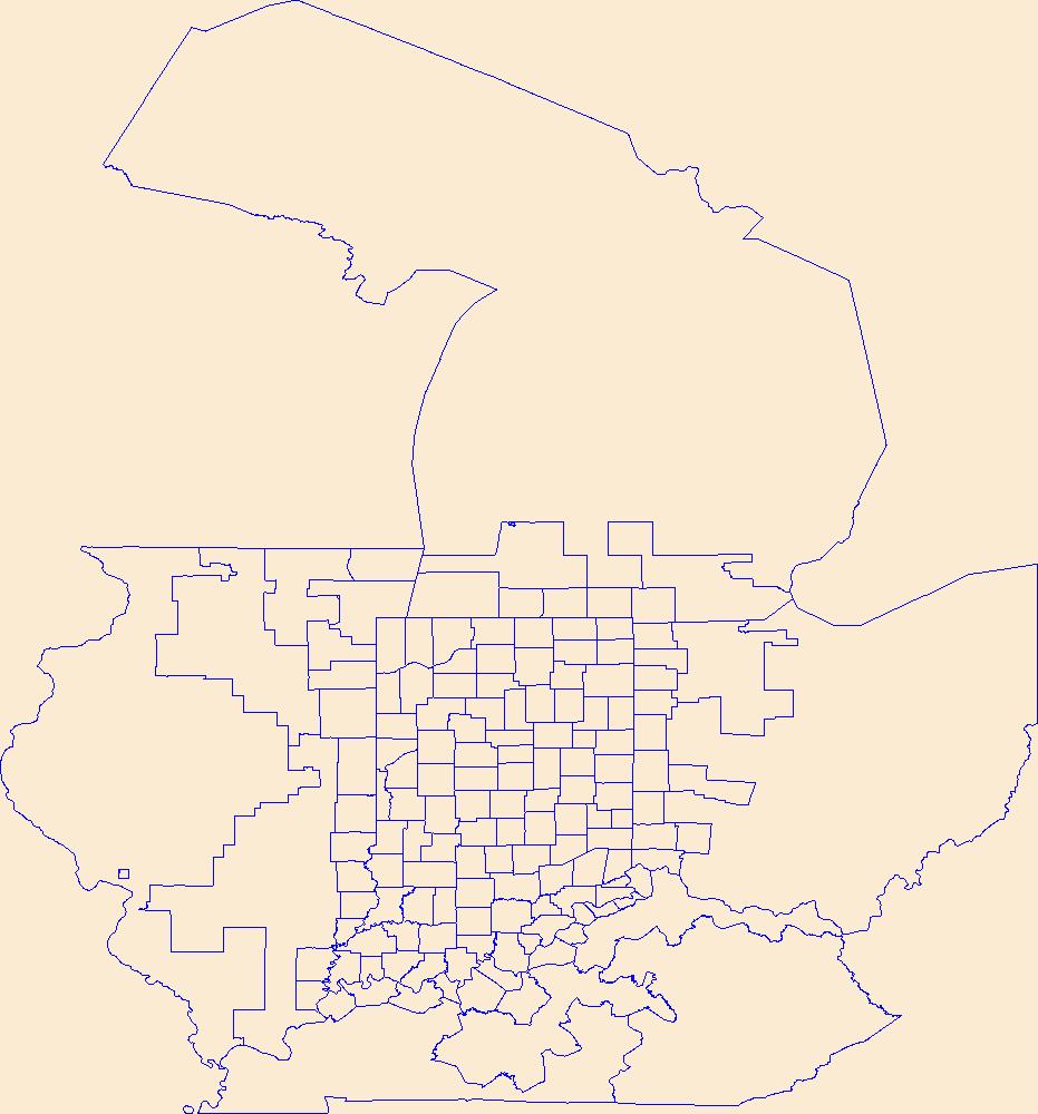
Geospatial data is comprised of government boundaries.
Types: Citation;
Tags: Adams,
Allen,
Bartholomew,
Benton,
Blackford, All tags...
Boone,
Boundaries,
Brown,
Carroll,
Cass,
Clark,
Clay,
Clinton,
County or Equivalent,
Crawford,
Daviess,
DeKalb,
Dearborn,
Decatur,
Delaware,
Downloadable Data,
Dubois,
Elkhart,
Esri File GeoDatabase 10,
Fayette,
FileGDB,
Floyd,
Fountain,
Franklin,
Fulton,
Gibson,
Grant,
Greene,
Hamilton,
Hancock,
Harrison,
Hendricks,
Henry,
Howard,
Huntington,
IN,
Incorporated Place,
Indiana,
Jackson,
Jasper,
Jay,
Jefferson,
Jennings,
Johnson,
Jurisdictional,
Knox,
Kosciusko,
LaGrange,
LaPorte,
Lake,
Lawrence,
Madison,
Marion,
Marshall,
Martin,
Miami,
Minor Civil Division,
Monroe,
Montgomery,
Morgan,
National Boundary Dataset (NBD),
National Boundary Dataset (NBD),
Native American Area,
Newton,
Noble,
Ohio,
Orange,
Owen,
PLSS First Division,
PLSS Special Survey,
PLSS Township,
Parke,
Perry,
Pike,
Porter,
Posey,
Public Land Survey System,
Pulaski,
Putnam,
Randolph,
Reserve,
Ripley,
Rush,
Scott,
Shelby,
Spencer,
St. Joseph,
Starke,
State,
State,
State or Territory,
Steuben,
Sullivan,
Switzerland,
Tippecanoe,
Tipton,
U.S. National Grid,
US,
Unincorporated Place,
Union,
United States,
Vanderburgh,
Vermillion,
Vigo,
Wabash,
Warren,
Warrick,
Washington,
Wayne,
Wells,
White,
Whitley,
boundaries,
boundary,
cadastral surveys,
geographic names,
land ownership,
land use maps,
legal land descriptions,
political and administrative boundaries,
zoning maps, Fewer tags
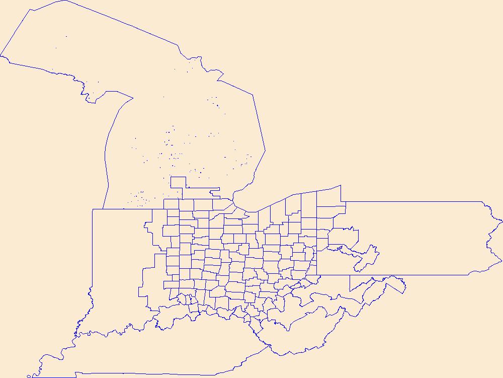
Geospatial data is comprised of government boundaries.
Types: Citation;
Tags: Adams,
Allen,
Ashland,
Ashtabula,
Athens, All tags...
Auglaize,
Belmont,
Boundaries,
Brown,
Butler,
Carroll,
Champaign,
Clark,
Clermont,
Clinton,
Columbiana,
Coshocton,
County or Equivalent,
Crawford,
Cuyahoga,
Darke,
Defiance,
Delaware,
Downloadable Data,
Erie,
Esri File GeoDatabase 10,
Fairfield,
Fayette,
FileGDB,
Franklin,
Fulton,
Gallia,
Geauga,
Greene,
Guernsey,
Hamilton,
Hancock,
Hardin,
Harrison,
Henry,
Highland,
Hocking,
Holmes,
Huron,
Incorporated Place,
Jackson,
Jefferson,
Jurisdictional,
Knox,
Lake,
Lawrence,
Licking,
Logan,
Lorain,
Lucas,
Madison,
Mahoning,
Marion,
Medina,
Meigs,
Mercer,
Miami,
Minor Civil Division,
Monroe,
Montgomery,
Morgan,
Morrow,
Muskingum,
National Boundary Dataset (NBD),
National Boundary Dataset (NBD),
Native American Area,
Noble,
OH,
Ohio,
Ottawa,
PLSS First Division,
PLSS Special Survey,
PLSS Township,
Paulding,
Perry,
Pickaway,
Pike,
Portage,
Preble,
Public Land Survey System,
Putnam,
Reserve,
Richland,
Ross,
Sandusky,
Scioto,
Seneca,
Shelby,
Stark,
State,
State,
State or Territory,
Summit,
Trumbull,
Tuscarawas,
U.S. National Grid,
US,
Unincorporated Place,
Union,
United States,
Van Wert,
Vinton,
Warren,
Washington,
Wayne,
Williams,
Wood,
Wyandot,
boundaries,
boundary,
cadastral surveys,
geographic names,
land ownership,
land use maps,
legal land descriptions,
political and administrative boundaries,
zoning maps, Fewer tags
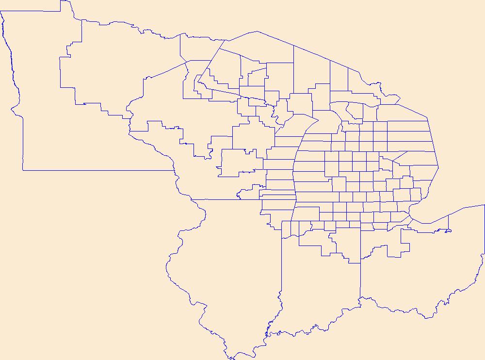
Geospatial data is comprised of government boundaries.
Types: Citation;
Tags: Alcona,
Alger,
Allegan,
Alpena,
Antrim, All tags...
Arenac,
Baraga,
Barry,
Bay,
Benzie,
Berrien,
Boundaries,
Branch,
Calhoun,
Cass,
Charlevoix,
Cheboygan,
Chippewa,
Clare,
Clinton,
County or Equivalent,
Crawford,
Delta,
Dickinson,
Downloadable Data,
Eaton,
Emmet,
Esri File GeoDatabase 10,
FileGDB,
Genesee,
Gladwin,
Gogebic,
Grand Traverse,
Gratiot,
Hillsdale,
Houghton,
Huron,
Incorporated Place,
Ingham,
Ionia,
Iosco,
Iron,
Isabella,
Jackson,
Jurisdictional,
Kalamazoo,
Kalkaska,
Kent,
Keweenaw,
Lake,
Lapeer,
Leelanau,
Lenawee,
Livingston,
Luce,
MI,
Mackinac,
Macomb,
Manistee,
Marquette,
Mason,
Mecosta,
Menominee,
Michigan,
Midland,
Minor Civil Division,
Missaukee,
Monroe,
Montcalm,
Montmorency,
Muskegon,
National Boundary Dataset (NBD),
National Boundary Dataset (NBD),
Native American Area,
Newaygo,
Oakland,
Oceana,
Ogemaw,
Ontonagon,
Osceola,
Oscoda,
Otsego,
Ottawa,
PLSS First Division,
PLSS Special Survey,
PLSS Township,
Presque Isle,
Public Land Survey System,
Reserve,
Roscommon,
Saginaw,
Sanilac,
Schoolcraft,
Shiawassee,
St. Clair,
St. Joseph,
State,
State,
State or Territory,
Tuscola,
U.S. National Grid,
US,
Unincorporated Place,
United States,
Van Buren,
Washtenaw,
Wayne,
Wexford,
boundaries,
boundary,
cadastral surveys,
geographic names,
land ownership,
land use maps,
legal land descriptions,
political and administrative boundaries,
zoning maps, Fewer tags
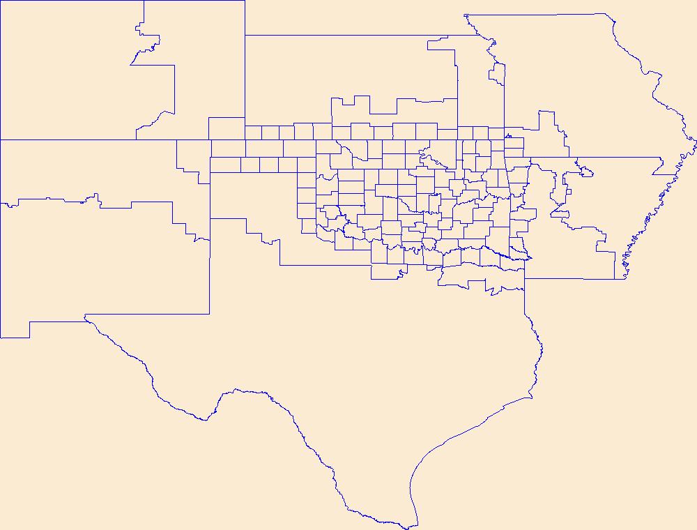
Geospatial data is comprised of government boundaries.
Types: Citation;
Tags: Adair,
Alfalfa,
Atoka,
Beaver,
Beckham, All tags...
Blaine,
Boundaries,
Bryan,
Caddo,
Canadian,
Carter,
Cherokee,
Choctaw,
Cimarron,
Cleveland,
Coal,
Comanche,
Cotton,
County or Equivalent,
Craig,
Creek,
Custer,
Delaware,
Dewey,
Downloadable Data,
Ellis,
Esri File GeoDatabase 10,
FileGDB,
Garfield,
Garvin,
Grady,
Grant,
Greer,
Harmon,
Harper,
Haskell,
Hughes,
Incorporated Place,
Jackson,
Jefferson,
Johnston,
Jurisdictional,
Kay,
Kingfisher,
Kiowa,
Latimer,
Le Flore,
Lincoln,
Logan,
Love,
Major,
Marshall,
Mayes,
McClain,
McCurtain,
McIntosh,
Minor Civil Division,
Murray,
Muskogee,
National Boundary Dataset (NBD),
National Boundary Dataset (NBD),
Native American Area,
Noble,
Nowata,
OK,
Okfuskee,
Oklahoma,
Oklahoma,
Okmulgee,
Osage,
Ottawa,
PLSS First Division,
PLSS Special Survey,
PLSS Township,
Pawnee,
Payne,
Pittsburg,
Pontotoc,
Pottawatomie,
Public Land Survey System,
Pushmataha,
Reserve,
Roger Mills,
Rogers,
Seminole,
Sequoyah,
State,
State,
State or Territory,
Stephens,
Texas,
Tillman,
Tulsa,
U.S. National Grid,
US,
Unincorporated Place,
United States,
Wagoner,
Washington,
Washita,
Woods,
Woodward,
boundaries,
boundary,
cadastral surveys,
geographic names,
land ownership,
land use maps,
legal land descriptions,
political and administrative boundaries,
zoning maps, Fewer tags
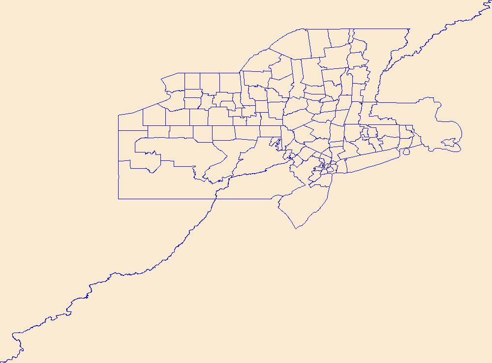
Geospatial data is comprised of government boundaries.
Types: Citation;
Tags: Albany,
Allegany,
Boundaries,
Bronx,
Broome, All tags...
Cattaraugus,
Cayuga,
Chautauqua,
Chemung,
Chenango,
Clinton,
Columbia,
Cortland,
County or Equivalent,
Delaware,
Downloadable Data,
Dutchess,
Erie,
Esri File GeoDatabase 10,
Essex,
FileGDB,
Franklin,
Fulton,
Genesee,
Greene,
Hamilton,
Herkimer,
Incorporated Place,
Jefferson,
Jurisdictional,
Kings,
Lewis,
Livingston,
Madison,
Minor Civil Division,
Monroe,
Montgomery,
NY,
Nassau,
National Boundary Dataset (NBD),
National Boundary Dataset (NBD),
Native American Area,
New York,
New York,
Niagara,
Oneida,
Onondaga,
Ontario,
Orange,
Orleans,
Oswego,
Otsego,
PLSS First Division,
PLSS Special Survey,
PLSS Township,
Public Land Survey System,
Putnam,
Queens,
Rensselaer,
Reserve,
Richmond,
Rockland,
Saratoga,
Schenectady,
Schoharie,
Schuyler,
Seneca,
St. Lawrence,
State,
State,
State or Territory,
Steuben,
Suffolk,
Sullivan,
Tioga,
Tompkins,
U.S. National Grid,
US,
Ulster,
Unincorporated Place,
United States,
Warren,
Washington,
Wayne,
Westchester,
Wyoming,
Yates,
boundaries,
boundary,
cadastral surveys,
geographic names,
land ownership,
land use maps,
legal land descriptions,
political and administrative boundaries,
zoning maps, Fewer tags

Geospatial data is comprised of government boundaries.
Types: Citation;
Tags: AS,
American Samoa,
Boundaries,
County or Equivalent,
Downloadable Data, All tags...
Eastern,
Esri File GeoDatabase 10,
FileGDB,
Incorporated Place,
Jurisdictional,
Manu'a,
Minor Civil Division,
National Boundary Dataset (NBD),
National Boundary Dataset (NBD),
Native American Area,
PLSS First Division,
PLSS Special Survey,
PLSS Township,
Public Land Survey System,
Reserve,
Rose Island,
State,
State,
State or Territory,
Swains Island,
U.S. National Grid,
US,
Unincorporated Place,
United States,
Western,
boundaries,
boundary,
cadastral surveys,
geographic names,
land ownership,
land use maps,
legal land descriptions,
political and administrative boundaries,
zoning maps, Fewer tags
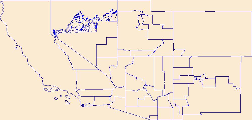
Geospatial data is comprised of government boundaries.
Types: Citation;
Tags: AZ,
Apache,
Arizona,
Boundaries,
Cochise, All tags...
Coconino,
County or Equivalent,
Downloadable Data,
Esri File GeoDatabase 10,
FileGDB,
Gila,
Graham,
Greenlee,
Incorporated Place,
Jurisdictional,
La Paz,
Maricopa,
Minor Civil Division,
Mohave,
National Boundary Dataset (NBD),
National Boundary Dataset (NBD),
Native American Area,
Navajo,
PLSS First Division,
PLSS Special Survey,
PLSS Township,
Pima,
Pinal,
Public Land Survey System,
Reserve,
Santa Cruz,
State,
State,
State or Territory,
U.S. National Grid,
US,
Unincorporated Place,
United States,
Yavapai,
Yuma,
boundaries,
boundary,
cadastral surveys,
geographic names,
land ownership,
land use maps,
legal land descriptions,
political and administrative boundaries,
zoning maps, Fewer tags

The Geographic Names Information System (GNIS) is the Federal standard for geographic nomenclature. The U.S. Geological Survey developed the GNIS for the U.S. Board on Geographic Names, a Federal inter-agency body chartered by public law to maintain uniform feature name usage throughout the Government and to promulgate standard names to the public. The GNIS is the official repository of domestic geographic names data; the official vehicle for geographic names use by all departments of the Federal Government; and the source for applying geographic names to Federal electronic and printed products of all types. See http://geonames.usgs.gov for additional information.
Types: Citation;
Tags: Antarctica,
Borough,
Census Area,
Commonwealth,
County, All tags...
District,
Downloadable Data,
Feature class,
Feature coordinates,
Feature county,
Feature description,
Feature designation,
Feature history,
Feature identification,
Feature name,
Feature state,
Geographic Names,
Geographic feature,
Geographic name,
Geographical feature,
Geographical name,
Legacy GNIS,
Municipio,
National Geographic Names Information System (GNIS),
Official feature name,
Outlying Area,
Parish,
Place name,
Populated Place,
State,
State,
TXT (pipes),
Territory,
Topographic Map,
United States,
Variant name,
economy,
environment,
imageryBaseMapsEarthCover,
inlandWaters,
location,
society,
structure,
transportation,
utilitiesCommunication, Fewer tags
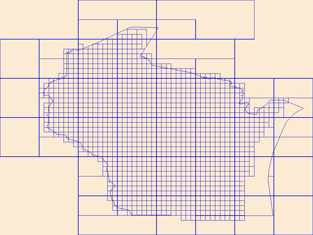
This data represents the map extent for current and historical USGS topographic maps for the United States and Territories, including 1 X 2 Degree, 1 X 1 Degree, 30 X 60 Minute, 15 X 15 Minute, 7.5 X 7.5 Minute, and 3.75 X 3.75 Minute. The grid was generated using ESRI ArcInfo GIS software.
Types: Citation;
Tags: Adams,
Ashland,
Barron,
Bayfield,
Boundaries, All tags...
Brown,
Buffalo,
Burnett,
Calumet,
Chippewa,
Clark,
Columbia,
Crawford,
Dane,
Dodge,
Door,
Douglas,
Downloadable Data,
Dunn,
Eau Claire,
Esri Shapefile nan,
Florence,
Fond du Lac,
Forest,
Grant,
Green,
Green Lake,
Iowa,
Iron,
Jackson,
Jefferson,
Juneau,
Kenosha,
Kewaunee,
La Crosse,
Lafayette,
Langlade,
Lincoln,
Manitowoc,
Map Indices,
Map Indices,
Map Indices,
Marathon,
Marinette,
Marquette,
Menominee,
Milwaukee,
Monroe,
Oconto,
Oneida,
Outagamie,
Ozaukee,
Pepin,
Pierce,
Polk,
Portage,
Price,
Racine,
Richland,
Rock,
Rusk,
Sauk,
Sawyer,
Shapefile,
Shawano,
Sheboygan,
St. Croix,
State,
State,
Taylor,
Trempealeau,
US,
United States,
United States of America,
Vernon,
Vilas,
WI,
Walworth,
Washburn,
Washington,
Waukesha,
Waupaca,
Waushara,
Winnebago,
Wisconsin,
Wood,
cells,
map indices,
polygon grid, Fewer tags
|
|

