Filters: Tags: State boundaries (X)
4 results (9ms)|
Filters
Date Range
Extensions Types Contacts
Categories Tag Types Tag Schemes
|

These data were released prior to the October 1, 2016 effective date for the USGS’s policy dictating the review, approval, and release of scientific data as referenced in USGS Survey Manual Chapter 502.8 Fundamental Science Practices: Review and Approval of Scientific Data for Release. This data set represents the state (political) boundaries of Mexico. The Digitial Chart of the World data set had incomplete state boundaries, which was the reason to create this coverage. It was digitized from a 1992 CIA map at a scale of 1:3 million. The coast line came from the Digital Chart of the world at a scale of 1:1 million. The state names were labeled from the map and an attribute to help fill the states was added. The...

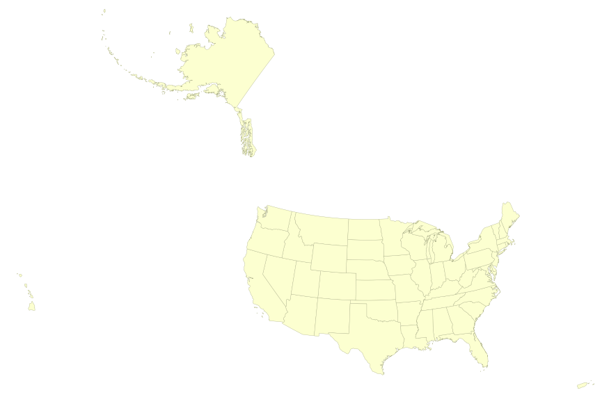
This map layer portrays the State boundaries of the United States, Puerto Rico, and the U.S. Virgin Islands. The map layer was created by extracting county polygon features from the CENSUS 2006 TIGER/Line files produced by the U.S. Census Bureau. These files were then merged into a single file and county boundaries within States were removed. This is a revised version of the July 2012 map layer.
A joint venture involving the National Atlas programs in Canada (Natural Resources Canada), Mexico (Instituto Nacional de Estadística y Geografía), and the United States (U.S. Geological Survey), as well as the North American Commission for Environmental Cooperation, has led to the release (June 2004) of several new products: an updated paper map of North America, and its associated geospatial data sets and their metadata. These data sets are available online from each of the partner countries for download. The North American Atlas data are standardized geospatial data sets at 1:10,000,000 scale. A variety of basic data layers (e.g. roads, railroads, populated places, political boundaries, hydrography,...
Categories: Data;
Types: Downloadable,
Map Service,
OGC WFS Layer,
OGC WMS Layer,
Shapefile;
Tags: International,
North America,
Provincial boundaries,
State boundaries,
Territorial boundaries
This map layer portrays the State boundaries of the United States, Puerto Rico, and the U.S. Virgin Islands. The map layer was created by extracting county polygon features from the CENSUS 2006 TIGER/Line files produced by the U.S. Census Bureau. These files were then merged into a single file and county boundaries within States were removed. This is a revised version of the July 2012 map layer.
|

|
