Filters: Tags: Stonington (X) > partyWithName: U.S. Geological Survey (X)
16 results (73ms)|
Filters
Date Range
Contacts
Tag Types Tag Schemes |
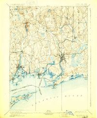
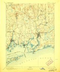
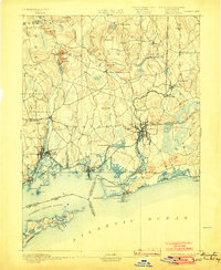
USGS Historical Quadrangle in GeoPDF.

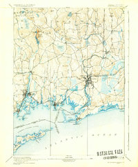
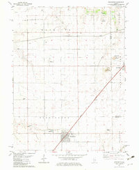
USGS Historical Quadrangle in GeoPDF.
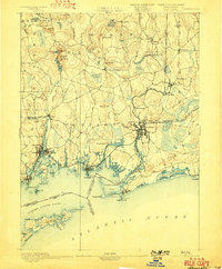
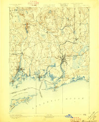
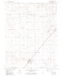
USGS Historical Quadrangle in GeoPDF.

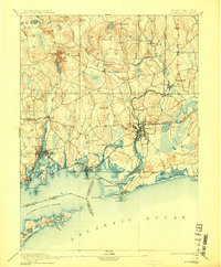
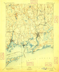
USGS Historical Quadrangle in GeoPDF.
This data release consists of a single ESRI shapefile, Hydrogeo_SECTpts, with geologic information from the previously published Hydrogeology of Southeastern Connecticut (Melvin, 1974). Test boring location points digitized from georeferenced area maps (1:24,000 scale) are attributed with associated well log information: town, identification numbers, altitude, depth to bottom, and remarks regarding the geology of the well finish. Descriptions for the bottoms of boreholes recorded the source driller's logs.
USGS Historical Quadrangle in GeoPDF.
USGS Historical Quadrangle in GeoPDF.
USGS Historical Quadrangle in GeoPDF.
USGS Historical Quadrangle in GeoPDF.
USGS Historical Quadrangle in GeoPDF.
USGS Historical Quadrangle in GeoPDF.
USGS Historical Quadrangle in GeoPDF.

USGS Historical Quadrangle in GeoPDF.

USGS Historical Quadrangle in GeoPDF.
USGS Historical Quadrangle in GeoPDF.
USGS Historical Quadrangle in GeoPDF.
|

|
