Filters: Tags: Stream Gauge (X)
7 results (28ms)|
Filters
Date Range
Types Contacts
Categories Tag Types Tag Schemes
|

This geodatabase contains streams, waterbodies and wetlands, streamflow gaging stations, and coastlines for the United States, Puerto Rico, and the U.S. Virgin Islands. The streams are incorporated into a geometric network. All feature classes are vertically integrated with each other and with 1:1,000,000-scale transportation and boundary data sets.
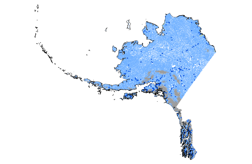
This geodatabase contains streams, waterbodies and wetlands, streamflow gaging stations, and coastlines for Alaska. The streams are incorporated into a geometric network. All feature classes are vertically integrated with each other and with 1:1,000,000-scale transportation and boundary data sets.
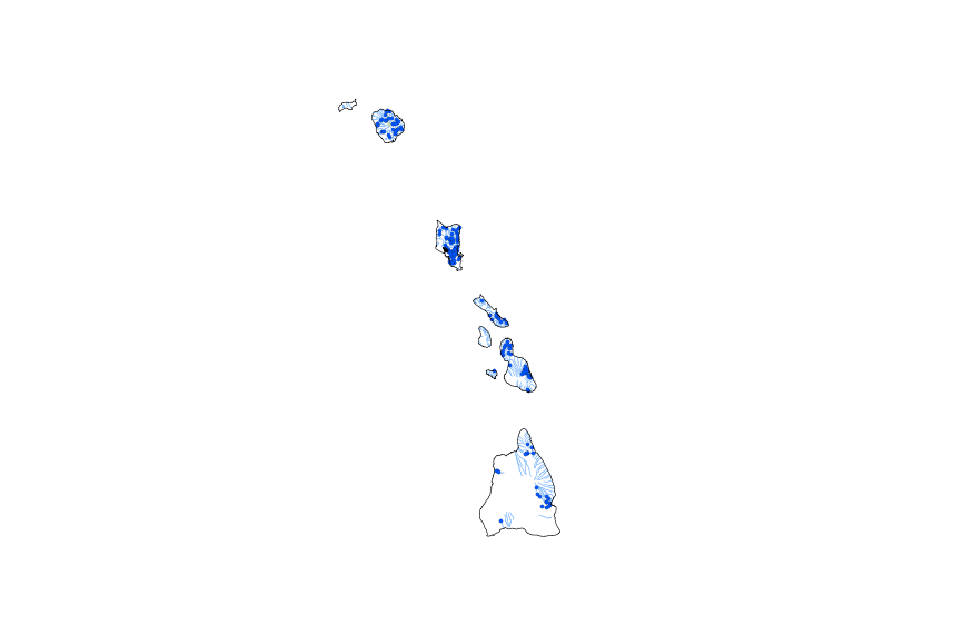
This geodatabase contains streams, waterbodies and wetlands, streamflow gaging stations, and coastlines for Hawaii. The streams are incorporated into a geometric network. All feature classes are vertically integrated with each other and with 1:1,000,000-scale transportation and boundary data sets.
The following spreadsheets contain pressure and temperature recorded by the barologgers (atmospheric measure) and leveloggers (stream measure) at each stream gauge. Temperature and pressure from stream gauges are needed to calculate discharge, which was in turn needed to calibrate the hydrologic model used in this project.
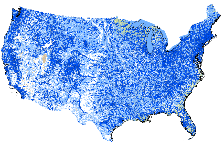
This geodatabase contains streams, waterbodies and wetlands, streamflow gaging stations, and coastlines for the conterminous United States. The streams are incorporated into a geometric network. All feature classes are vertically integrated with each other and with 1:1,000,000-scale transportation and boundary data sets.
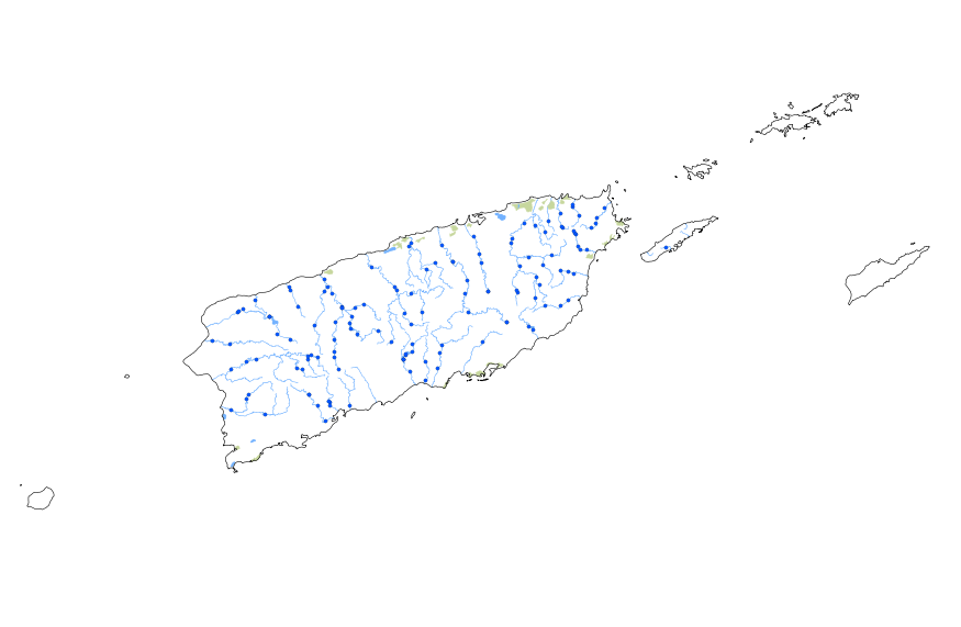
This geodatabase contains streams, waterbodies and wetlands, streamflow gaging stations, and coastlines for Puerto Rico and the U.S. Virgin Islands. The streams are incorporated into a geometric network. All feature classes are vertically integrated with each other and with 1:1,000,000-scale transportation and boundary data sets.

Outlet points represent the physical outlet of natural flow subbasins as represented in the Colorado River Simulation System (CRSS). These points typically coincide with a past or present USGS gauge or the outlet from a reservoir. There are 30 such points within the Upper and Lower Colorado River Basin.
|

|
