Filters
Date Range
Extensions
Types
Contacts
Categories
Tag Types
Tag Schemes
|

Geospatial data includes structures and other selected map features.
Tags: AK,
Alaska,
Aleutians East,
Aleutians West,
Anchorage, All tags...
Bethel,
Bristol Bay,
Campground,
Chugach,
College / University,
Copper River,
Courthouse,
Denali,
Dillingham,
Downloadable Data,
Esri File GeoDatabase 10,
Fairbanks North Star,
FileGDB,
Fire Station/ EMS Station,
Haines,
Hoonah-Angoon,
Hospital/Medical Center,
Information Center,
Juneau,
Kenai Peninsula,
Ketchikan Gateway,
Kodiak Island,
Kusilvak,
Lake and Peninsula,
Law Enforcement,
Matanuska-Susitna,
National Structures Dataset (NSD),
National Structures Dataset (NSD),
Nome,
North Slope,
Northwest Arctic,
Petersburg,
Post Office,
Prince of Wales-Hyder,
Prison/ Correctional Facility,
School,
School:Elementary,
School:High School,
School:Middle School,
Sitka,
Skagway,
Southeast Fairbanks,
State,
State,
State Capitol,
Structures,
Technical School,
Town Hall,
Trade School,
Trailhead,
US,
United States,
Visitor Center,
Wrangell,
Yakutat,
Yukon-Koyukuk,
structure, Fewer tags
Geospatial data includes structures and other selected map features.
Tags: Campground,
College / University,
Courthouse,
DE,
Delaware, All tags...
Downloadable Data,
Esri File GeoDatabase 10,
FileGDB,
Fire Station/ EMS Station,
Hospital/Medical Center,
Information Center,
Kent,
Law Enforcement,
National Structures Dataset (NSD),
National Structures Dataset (NSD),
New Castle,
Post Office,
Prison/ Correctional Facility,
School,
School:Elementary,
School:High School,
School:Middle School,
State,
State,
State Capitol,
Structures,
Sussex,
Technical School,
Town Hall,
Trade School,
Trailhead,
US,
United States,
Visitor Center,
structure, Fewer tags

Geospatial data includes structures and other selected map features.
Tags: AS,
American Samoa,
Campground,
College / University,
Courthouse, All tags...
Downloadable Data,
Eastern,
Esri File GeoDatabase 10,
FileGDB,
Fire Station/ EMS Station,
Hospital/Medical Center,
Information Center,
Law Enforcement,
Manu'a,
National Structures Dataset (NSD),
National Structures Dataset (NSD),
Post Office,
Prison/ Correctional Facility,
Rose Island,
School,
School:Elementary,
School:High School,
School:Middle School,
State,
State,
State Capitol,
Structures,
Swains Island,
Technical School,
Town Hall,
Trade School,
Trailhead,
US,
United States,
Visitor Center,
Western,
structure, Fewer tags
Geospatial data includes structures and other selected map features.
Tags: Campground,
College / University,
Courthouse,
DC,
District of Columbia, All tags...
District of Columbia,
Downloadable Data,
Esri File GeoDatabase 10,
FileGDB,
Fire Station/ EMS Station,
Hospital/Medical Center,
Information Center,
Law Enforcement,
National Structures Dataset (NSD),
National Structures Dataset (NSD),
Post Office,
Prison/ Correctional Facility,
School,
School:Elementary,
School:High School,
School:Middle School,
State,
State,
State Capitol,
Structures,
Technical School,
Town Hall,
Trade School,
Trailhead,
US,
United States,
Visitor Center,
structure, Fewer tags
Geospatial data includes structures and other selected map features.
Tags: Beaver,
Box Elder,
Cache,
Campground,
Carbon, All tags...
College / University,
Courthouse,
Daggett,
Davis,
Downloadable Data,
Duchesne,
Emery,
Esri Shapefile nan,
Fire Station/ EMS Station,
Garfield,
Grand,
Hospital/Medical Center,
Information Center,
Iron,
Juab,
Kane,
Law Enforcement,
Millard,
Morgan,
National Structures Dataset (NSD),
National Structures Dataset (NSD),
Piute,
Post Office,
Prison/ Correctional Facility,
Rich,
Salt Lake,
San Juan,
Sanpete,
School,
School:Elementary,
School:High School,
School:Middle School,
Sevier,
Shapefile,
State,
State,
State Capitol,
Structures,
Summit,
Technical School,
Tooele,
Town Hall,
Trade School,
Trailhead,
US,
UT,
Uintah,
United States,
Utah,
Utah,
Visitor Center,
Wasatch,
Washington,
Wayne,
Weber,
structure, Fewer tags
Geospatial data includes structures and other selected map features.
Tags: Adair,
Alfalfa,
Atoka,
Beaver,
Beckham, All tags...
Blaine,
Bryan,
Caddo,
Campground,
Canadian,
Carter,
Cherokee,
Choctaw,
Cimarron,
Cleveland,
Coal,
College / University,
Comanche,
Cotton,
Courthouse,
Craig,
Creek,
Custer,
Delaware,
Dewey,
Downloadable Data,
Ellis,
Esri Shapefile nan,
Fire Station/ EMS Station,
Garfield,
Garvin,
Grady,
Grant,
Greer,
Harmon,
Harper,
Haskell,
Hospital/Medical Center,
Hughes,
Information Center,
Jackson,
Jefferson,
Johnston,
Kay,
Kingfisher,
Kiowa,
Latimer,
Law Enforcement,
Le Flore,
Lincoln,
Logan,
Love,
Major,
Marshall,
Mayes,
McClain,
McCurtain,
McIntosh,
Murray,
Muskogee,
National Structures Dataset (NSD),
National Structures Dataset (NSD),
Noble,
Nowata,
OK,
Okfuskee,
Oklahoma,
Oklahoma,
Okmulgee,
Osage,
Ottawa,
Pawnee,
Payne,
Pittsburg,
Pontotoc,
Post Office,
Pottawatomie,
Prison/ Correctional Facility,
Pushmataha,
Roger Mills,
Rogers,
School,
School:Elementary,
School:High School,
School:Middle School,
Seminole,
Sequoyah,
Shapefile,
State,
State,
State Capitol,
Stephens,
Structures,
Technical School,
Texas,
Tillman,
Town Hall,
Trade School,
Trailhead,
Tulsa,
US,
United States,
Visitor Center,
Wagoner,
Washington,
Washita,
Woods,
Woodward,
structure, Fewer tags
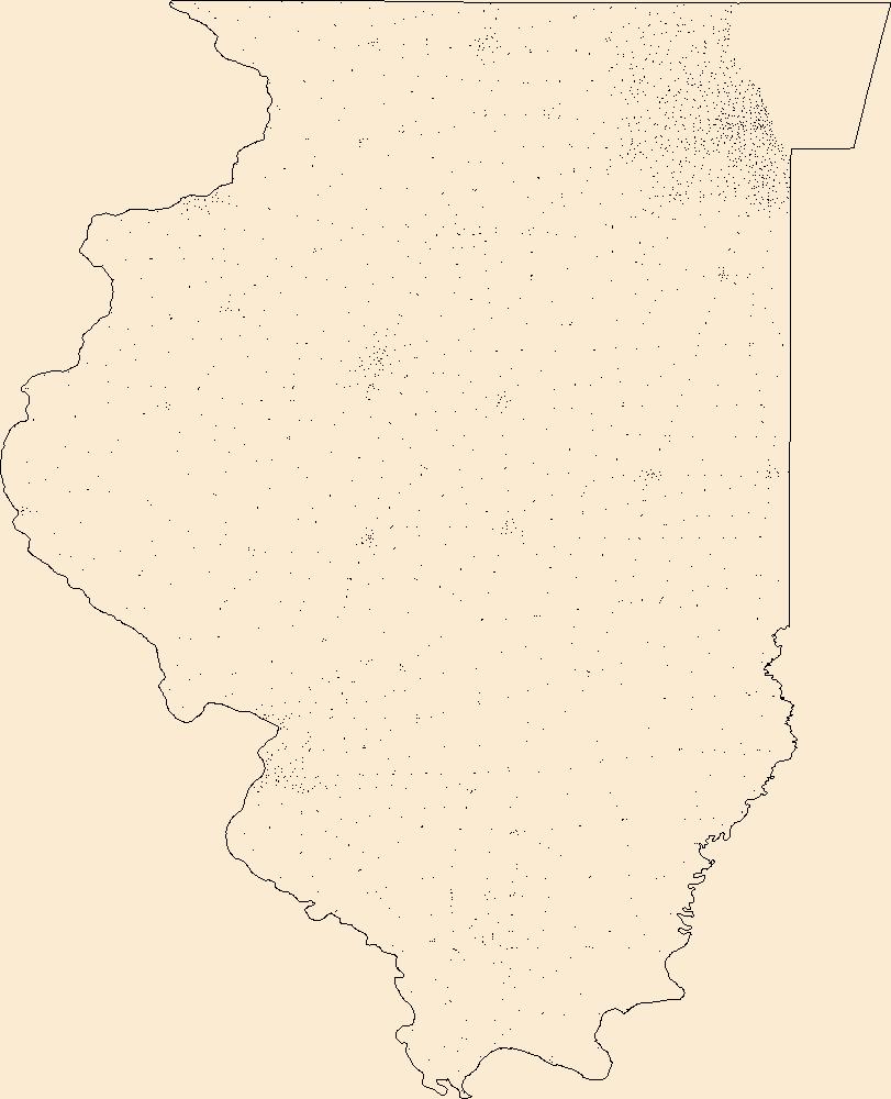
Geospatial data includes structures and other selected map features.
Tags: Adams,
Alexander,
Bond,
Boone,
Brown, All tags...
Bureau,
Calhoun,
Campground,
Carroll,
Cass,
Champaign,
Christian,
Clark,
Clay,
Clinton,
Coles,
College / University,
Cook,
Courthouse,
Crawford,
Cumberland,
De Witt,
DeKalb,
Douglas,
Downloadable Data,
DuPage,
Edgar,
Edwards,
Effingham,
Fayette,
Fire Station/ EMS Station,
Ford,
Franklin,
Fulton,
Gallatin,
GeoPackage,
Greene,
Grundy,
Hamilton,
Hancock,
Hardin,
Henderson,
Henry,
Hospital/Medical Center,
IL,
Illinois,
Information Center,
Iroquois,
Jackson,
Jasper,
Jefferson,
Jersey,
Jo Daviess,
Johnson,
Kane,
Kankakee,
Kendall,
Knox,
LaSalle,
Lake,
Law Enforcement,
Lawrence,
Lee,
Livingston,
Logan,
Macon,
Macoupin,
Madison,
Marion,
Marshall,
Mason,
Massac,
McDonough,
McHenry,
McLean,
Menard,
Mercer,
Monroe,
Montgomery,
Morgan,
Moultrie,
National Structures Dataset (NSD),
National Structures Dataset (NSD),
Ogle,
Open Geospatial Consortium GeoPackage 1.2,
Peoria,
Perry,
Piatt,
Pike,
Pope,
Post Office,
Prison/ Correctional Facility,
Pulaski,
Putnam,
Randolph,
Richland,
Rock Island,
Saline,
Sangamon,
School,
School:Elementary,
School:High School,
School:Middle School,
Schuyler,
Scott,
Shelby,
St. Clair,
Stark,
State,
State,
State Capitol,
Stephenson,
Structures,
Tazewell,
Technical School,
Town Hall,
Trade School,
Trailhead,
US,
Union,
United States,
Vermilion,
Visitor Center,
Wabash,
Warren,
Washington,
Wayne,
White,
Whiteside,
Will,
Williamson,
Winnebago,
Woodford,
structure, Fewer tags
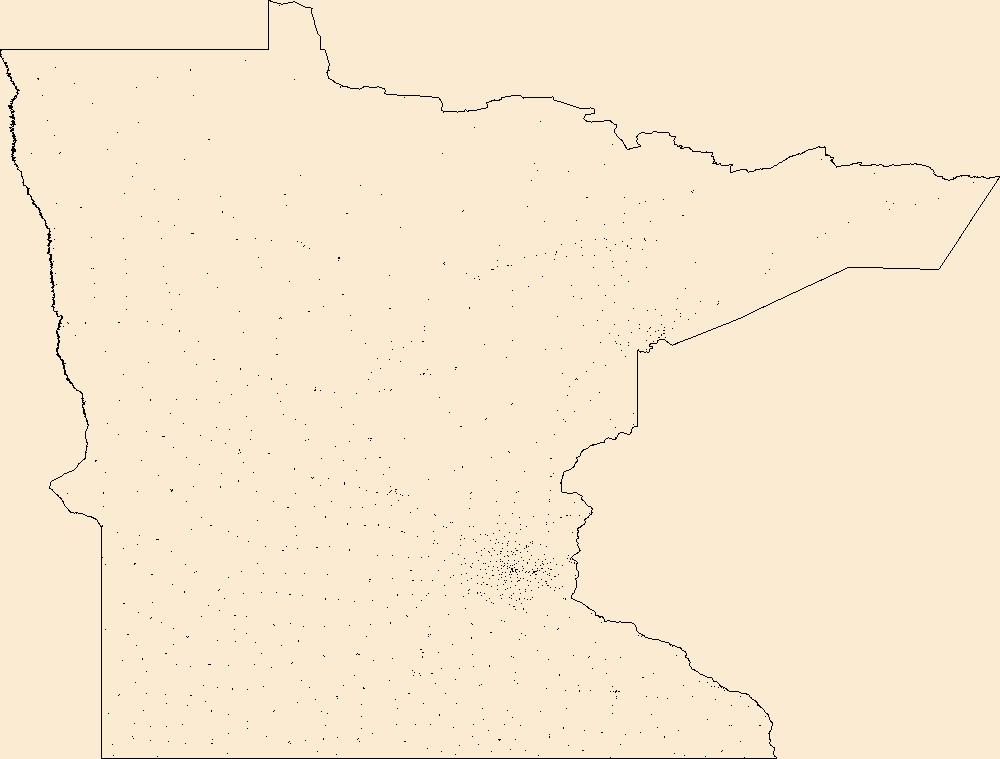
Geospatial data includes structures and other selected map features.
Tags: Aitkin,
Anoka,
Becker,
Beltrami,
Benton, All tags...
Big Stone,
Blue Earth,
Brown,
Campground,
Carlton,
Carver,
Cass,
Chippewa,
Chisago,
Clay,
Clearwater,
College / University,
Cook,
Cottonwood,
Courthouse,
Crow Wing,
Dakota,
Dodge,
Douglas,
Downloadable Data,
Faribault,
Fillmore,
Fire Station/ EMS Station,
Freeborn,
GeoPackage,
Goodhue,
Grant,
Hennepin,
Hospital/Medical Center,
Houston,
Hubbard,
Information Center,
Isanti,
Itasca,
Jackson,
Kanabec,
Kandiyohi,
Kittson,
Koochiching,
Lac qui Parle,
Lake,
Lake of the Woods,
Law Enforcement,
Le Sueur,
Lincoln,
Lyon,
MN,
Mahnomen,
Marshall,
Martin,
McLeod,
Meeker,
Mille Lacs,
Minnesota,
Morrison,
Mower,
Murray,
National Structures Dataset (NSD),
National Structures Dataset (NSD),
Nicollet,
Nobles,
Norman,
Olmsted,
Open Geospatial Consortium GeoPackage 1.2,
Otter Tail,
Pennington,
Pine,
Pipestone,
Polk,
Pope,
Post Office,
Prison/ Correctional Facility,
Ramsey,
Red Lake,
Redwood,
Renville,
Rice,
Rock,
Roseau,
School,
School:Elementary,
School:High School,
School:Middle School,
Scott,
Sherburne,
Sibley,
St. Louis,
State,
State,
State Capitol,
Stearns,
Steele,
Stevens,
Structures,
Swift,
Technical School,
Todd,
Town Hall,
Trade School,
Trailhead,
Traverse,
US,
United States,
Visitor Center,
Wabasha,
Wadena,
Waseca,
Washington,
Watonwan,
Wilkin,
Winona,
Wright,
Yellow Medicine,
structure, Fewer tags
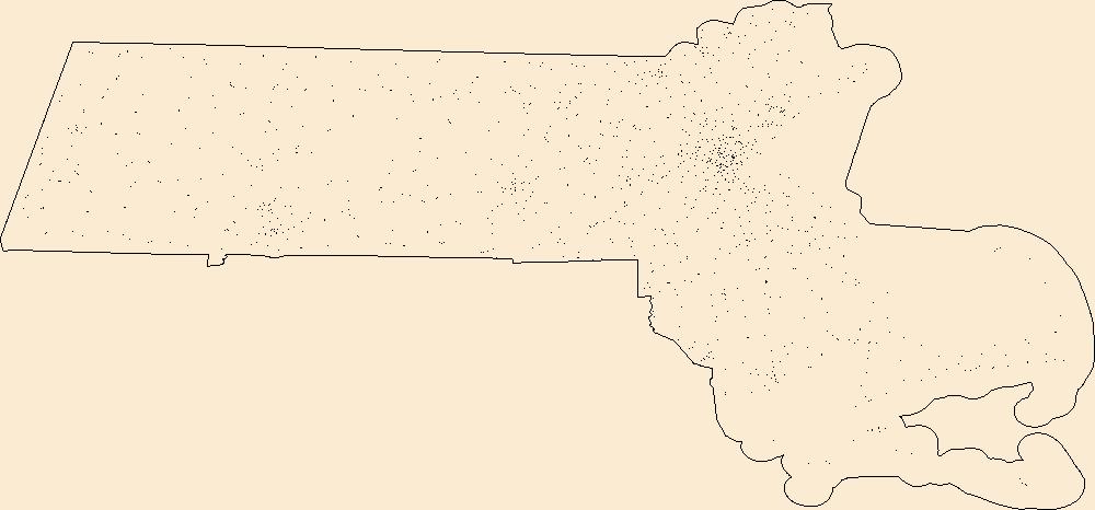
Geospatial data includes structures and other selected map features.
Tags: Barnstable,
Berkshire,
Bristol,
Campground,
College / University, All tags...
Courthouse,
Downloadable Data,
Dukes,
Essex,
Fire Station/ EMS Station,
Franklin,
GeoPackage,
Hampden,
Hampshire,
Hospital/Medical Center,
Information Center,
Law Enforcement,
MA,
Massachusetts,
Middlesex,
Nantucket,
National Structures Dataset (NSD),
National Structures Dataset (NSD),
Norfolk,
Open Geospatial Consortium GeoPackage 1.2,
Plymouth,
Post Office,
Prison/ Correctional Facility,
School,
School:Elementary,
School:High School,
School:Middle School,
State,
State,
State Capitol,
Structures,
Suffolk,
Technical School,
Town Hall,
Trade School,
Trailhead,
US,
United States,
Visitor Center,
Worcester,
structure, Fewer tags

The Geographic Names Information System (GNIS) is the Federal standard for geographic nomenclature. The U.S. Geological Survey developed the GNIS for the U.S. Board on Geographic Names, a Federal inter-agency body chartered by public law to maintain uniform feature name usage throughout the Government and to promulgate standard names to the public. The GNIS is the official repository of domestic geographic names data; the official vehicle for geographic names use by all departments of the Federal Government; and the source for applying geographic names to Federal electronic and printed products of all types. See http://geonames.usgs.gov for additional information.
Types: Citation;
Tags: Antarctica,
Borough,
Census Area,
Commonwealth,
County, All tags...
District,
Downloadable Data,
Feature class,
Feature coordinates,
Feature county,
Feature description,
Feature designation,
Feature history,
Feature identification,
Feature name,
Feature state,
Geographic Names,
Geographic feature,
Geographic name,
Geographical feature,
Geographical name,
Legacy GNIS,
Municipio,
National Geographic Names Information System (GNIS),
Official feature name,
Outlying Area,
Parish,
Place name,
Populated Place,
State,
State,
TXT (pipes),
Territory,
Topographic Map,
United States,
Variant name,
economy,
environment,
imageryBaseMapsEarthCover,
inlandWaters,
location,
society,
structure,
transportation,
utilitiesCommunication, Fewer tags

These data were released prior to the October 1, 2016 effective date for the USGS’s policy dictating the review, approval, and release of scientific data as referenced in USGS Survey Manual Chapter 502.8 Fundamental Science Practices: Review and Approval of Scientific Data for Release. This data set represents geologic structure contours for the top of the Minnekahta Limestone, Black Hills, South Dakota.
Tags: Black Hills,
Minnekahta Limestone,
NSDI,
South Dakota,
USGS Science Data Catalog (SDC), All tags...
contour,
environment,
geology,
geoscientificInformation,
inlandWaters,
inlandWaters,
structure, Fewer tags

These data were released prior to the October 1, 2016 effective date for the USGS’s policy dictating the review, approval, and release of scientific data as referenced in USGS Survey Manual Chapter 502.8 Fundamental Science Practices: Review and Approval of Scientific Data for Release. This data set represents geologic structure contours for the top of the Inyan Kara Group, Black Hills, South Dakota.
Tags: Black Hills,
Inyan Kara,
NSDI,
South Dakota,
USGS Science Data Catalog (SDC), All tags...
contour,
environment,
geology,
geoscientificInformation,
inlandWaters,
inlandWaters,
structure, Fewer tags

The Geographic Names Information System (GNIS) is the Federal standard for geographic nomenclature. The U.S. Geological Survey developed the GNIS for the U.S. Board on Geographic Names, a Federal inter-agency body chartered by public law to maintain uniform feature name usage throughout the Government and to promulgate standard names to the public. The GNIS is the official repository of domestic geographic names data; the official vehicle for geographic names use by all departments of the Federal Government; and the source for applying geographic names to Federal electronic and printed products of all types.
Tags: AK,
AL,
AR,
AS,
AZ, All tags...
Alabama,
Alaska,
American Samoa,
Antarctica,
Antarctica,
Arizona,
Arkansas,
BGN,
Board on Geographic Names,
Borough,
CA,
CO,
CT,
California,
Census Area,
Colorado,
Commonwealth,
Connecticut,
County,
DC,
DE,
Delaware,
District,
District of Columbia,
Downloadable Data,
Esri File GeoDatabase 10,
FL,
Feature class,
Feature coordinates,
Feature county,
Feature description,
Feature designation,
Feature history,
Feature indentification,
Feature name,
Feature state,
FileGDB,
Florida,
GA,
GNIS,
GU,
Geographic Names,
Geographic Names Full Model,
Geographic Names Information System,
Geographic feature,
Geographic name,
Geographical feature,
Geographical name,
Georgia,
Guam,
HI,
Hawaii,
IA,
ID,
IL,
IN,
Idaho,
Illinois,
Indiana,
Iowa,
KS,
KY,
Kansas,
Kentucky,
LA,
Louisiana,
MA,
MD,
ME,
MI,
MN,
MO,
MP,
MS,
MT,
Maine,
Maryland,
Massachusetts,
Michigan,
Minnesota,
Mississippi,
Missouri,
Montana,
Municipio,
NC,
ND,
NE,
NH,
NJ,
NM,
NV,
NY,
National,
National,
National Geographic Names Information System (GNIS),
National Geographic Names Information System (GNIS),
Nebraska,
Nevada,
New Hampshire,
New Jersey,
New Mexico,
New York,
North Carolina,
North Dakota,
Northern Mariana Islands,
OH,
OK,
OR,
Official feature name,
Ohio,
Oklahoma,
Oregon,
Outlying Area,
PA,
PR,
Parish,
Pennsylvania,
Place name,
Populated Place,
Puerto Rico,
RI,
Rhode Island,
SC,
SD,
South Carolina,
South Dakota,
TN,
TX,
Tennessee,
Territories,
Territory,
Texas,
Topographic Map,
U.S. Board on Geographic Names,
U.S. Geological Survey,
US,
USA,
USBGN,
USGS,
UT,
United States,
United States,
United States,
Utah,
VA,
VI,
VT,
Variant name,
Vermont,
Virgin Islands,
Virginia,
WA,
WI,
WV,
WY,
Washington,
West Virginia,
Wisconsin,
Wyoming,
antarctic,
database,
economy,
environment,
feature,
gazetteer,
geographic,
geographic names,
geographical,
geography,
geospatial,
imageryBaseMapsEarthCover,
inlandWaters,
location,
map,
name,
place,
placename,
society,
structure,
topographic map,
toponymy, Fewer tags

The Geographic Names Information System (GNIS) is the Federal standard for geographic nomenclature. The U.S. Geological Survey developed the GNIS for the U.S. Board on Geographic Names, a Federal inter-agency body chartered by public law to maintain uniform feature name usage throughout the Government and to promulgate standard names to the public. The GNIS is the official repository of domestic geographic names data; the official vehicle for geographic names use by all departments of the Federal Government; and the source for applying geographic names to Federal electronic and printed products of all types.
Tags: Adams,
Alexander,
Antarctica,
Antarctica,
BGN, All tags...
Board on Geographic Names,
Bond,
Boone,
Borough,
Brown,
Bureau,
Calhoun,
Carroll,
Cass,
Census Area,
Champaign,
Christian,
Clark,
Clay,
Clinton,
Coles,
Commonwealth,
Cook,
County,
Crawford,
Cumberland,
De Witt,
DeKalb,
District,
Douglas,
Downloadable Data,
DuPage,
Edgar,
Edwards,
Effingham,
Fayette,
Feature class,
Feature coordinates,
Feature county,
Feature description,
Feature designation,
Feature history,
Feature indentification,
Feature name,
Feature state,
Ford,
Franklin,
Fulton,
GNIS,
Gallatin,
Geographic Names,
Geographic Names Federal Codes,
Geographic Names Information System,
Geographic feature,
Geographic name,
Geographical feature,
Geographical name,
Greene,
Grundy,
Hamilton,
Hancock,
Hardin,
Henderson,
Henry,
IL,
Illinois,
Iroquois,
Jackson,
Jasper,
Jefferson,
Jersey,
Jo Daviess,
Johnson,
Kane,
Kankakee,
Kendall,
Knox,
LaSalle,
Lake,
Lawrence,
Lee,
Livingston,
Logan,
Macon,
Macoupin,
Madison,
Marion,
Marshall,
Mason,
Massac,
McDonough,
McHenry,
McLean,
Menard,
Mercer,
Monroe,
Montgomery,
Morgan,
Moultrie,
Municipio,
National Geographic Names Information System (GNIS),
National Geographic Names Information System (GNIS),
Official feature name,
Ogle,
Outlying Area,
Parish,
Peoria,
Perry,
Piatt,
Pike,
Place name,
Pope,
Populated Place,
Pulaski,
Putnam,
Randolph,
Richland,
Rock Island,
Saline,
Sangamon,
Schuyler,
Scott,
Shelby,
St. Clair,
Stark,
State,
Stephenson,
TXT (pipes),
Tazewell,
Territories,
Territory,
Topographic Map,
U.S. Board on Geographic Names,
U.S. Geological Survey,
US,
USA,
USBGN,
USGS,
UTF-8 Pipe Delimited Text File nan,
Union,
United States,
United States,
United States,
Variant name,
Vermilion,
Wabash,
Warren,
Washington,
Wayne,
White,
Whiteside,
Will,
Williamson,
Winnebago,
Woodford,
antarctic,
database,
economy,
environment,
feature,
gazetteer,
geographic,
geographic names,
geographical,
geography,
geospatial,
imageryBaseMapsEarthCover,
inlandWaters,
location,
map,
name,
place,
placename,
society,
structure,
topographic map,
toponymy, Fewer tags
|
|

