Filters: Tags: Structures (X) > Categories: Data (X)
6 results (68ms)|
Filters
Date Range
Extensions Types
Contacts
Tag Types Tag Schemes |

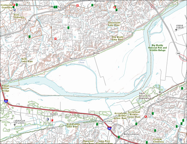
The USGS Structures service from The National Map (TNM) consists of data to include the name, function, location, and other core information and characteristics of selected manmade facilities. The types of structures collected are largely determined by the needs of disaster planning and emergency response, and homeland security organizations. Structures data are designed to be used in general mapping and in the analysis of structure related activities using geographic information system technology. The National Map structures data is commonly combined with other data themes, such as boundaries, elevation, hydrography, and transportation, to produce general reference base maps. The National Map viewer allows free...
Categories: Data;
Types: ArcGIS REST Map Service,
Map Service;
Tags: NGP-TNM,
Overlay Map Service,
REST,
Structures,
US,
Soils and organismal tissue from known and potential sources of contamination at Palmyra Atoll were measured for concentrations of 13 elements using a hand-held X-Ray Flourometer (XRF). Measured elements include; Lead (PB), Arsenic (As), Cobalt (Co), Cromium (Cr), Copper (Cu), Antimony (Sb), Iron (Fe), Titanium (Ti), Zinc (Zn), Nickel (Ni), Manganese (Mn), Sulphur (S) and Phosphorous (P). Concentrations of other elements were excluded because they were below the limit of detection or were sporadically detected; these include Tin (Sn), Cadmium (Cd), Silver (Ag), Strontium (Sr), Ruthenium (Rb), Selenium (Se), Mercury (Hg), Vanadium (V), Scantium (Sc), Calcium (Ca), Potassium (K), and Chlorine (Cl). Attributes for...
Categories: Data;
Types: Citation,
Downloadable,
Map Service,
OGC WFS Layer,
OGC WMS Layer,
Shapefile;
Tags: Pacific Ocean,
Palmyra Atoll,
U.S. Navy,
World War II,
contamination,
This geodatabase of point, line and polygon features is an effort to consolidate all of the range improvement locations on BLM-managed land in Idaho into one database. Currently, the line feature class only has range improvements from Boise District (Four Rivers, Owyhee, and Bruneau Field Offices), Twin Falls District (Shoshone, Burley and Jarbidge Field Offices) and Idaho Falls District (Salmon, Challis and Upper Snake Field Offices). Range improvements are structures intended to enhance rangeland resources, including wildlife, watershed, and livestock management. Examples of range improvements include water troughs, spring headboxes, culverts, fences, water pipelines, gates, wildlife guzzlers, artificial nest...
Categories: Data;
Types: Downloadable,
Map Service,
OGC WFS Layer,
OGC WMS Layer,
Shapefile;
Tags: Facililties,
Idaho,
Vegetation,
Wildlife,
fish,
Elephant Butte Irrigation District conveyances and structrues for delivery of water from the Rio Grande River
Categories: Data;
Types: ArcGIS REST Map Service,
ArcGIS Service Definition,
Downloadable,
Map Service;
Tags: Conveyances,
Irrigation,
Rio Grande,
Structures
This feature layer is a spatial representation of most of the DAM facilities in the StreamNet database. Information about the location of each dam was collected from StreamNet personnel at WDFW (Washington Dept of Fish & Wildlife), ODFW (Oregon Dept of Fish & Wildlife), IDFG (Idaho Dept of Fish & Game), and MFWP (Montana Fish, Wildlife & Parks) and the tabular information about each dam in the StreamNet database was then added to each dam point in the GIS layer. California data comes from the StreamNet's partner project "CalFISH" (http://www.calfish.org) which contributes data compatible with the StreamNet database.
Categories: Data;
Types: ArcGIS REST Map Service,
ArcGIS Service Definition,
Downloadable,
Map Service;
Tags: CA,
California,
NPLCC,
OR,
WA,
|

|