Filters: Tags: Stump Spring (X)
21 results (123ms)|
Filters
Date Range
Extensions Types Contacts
Categories Tag Types Tag Schemes |
This data set contains imagery from the National Agriculture Imagery Program (NAIP). The NAIP program is administered by USDA FSA and has been established to support two main FSA strategic goals centered on agricultural production. These are, increase stewardship of America's natural resources while enhancing the environment, and to ensure commodities are procured and distributed effectively and efficiently to increase food security. The NAIP program supports these goals by acquiring and providing ortho imagery that has been collected during the agricultural growing season in the U.S. The NAIP ortho imagery is tailored to meet FSA requirements and is a fundamental tool used to support FSA farm and conservation programs....
This data set contains imagery from the National Agriculture Imagery Program (NAIP). The NAIP program is administered by USDA FSA and has been established to support two main FSA strategic goals centered on agricultural production. These are, increase stewardship of America's natural resources while enhancing the environment, and to ensure commodities are procured and distributed effectively and efficiently to increase food security. The NAIP program supports these goals by acquiring and providing ortho imagery that has been collected during the agricultural growing season in the U.S. The NAIP ortho imagery is tailored to meet FSA requirements and is a fundamental tool used to support FSA farm and conservation programs....
This data set contains imagery from the National Agriculture Imagery Program (NAIP). The NAIP program is administered by USDA FSA and has been established to support two main FSA strategic goals centered on agricultural production. These are, increase stewardship of America's natural resources while enhancing the environment, and to ensure commodities are procured and distributed effectively and efficiently to increase food security. The NAIP program supports these goals by acquiring and providing ortho imagery that has been collected during the agricultural growing season in the U.S. The NAIP ortho imagery is tailored to meet FSA requirements and is a fundamental tool used to support FSA farm and conservation programs....
This data set contains imagery from the National Agriculture Imagery Program (NAIP). The NAIP program is administered by USDA FSA and has been established to support two main FSA strategic goals centered on agricultural production. These are, increase stewardship of America's natural resources while enhancing the environment, and to ensure commodities are procured and distributed effectively and efficiently to increase food security. The NAIP program supports these goals by acquiring and providing ortho imagery that has been collected during the agricultural growing season in the U.S. The NAIP ortho imagery is tailored to meet FSA requirements and is a fundamental tool used to support FSA farm and conservation programs....
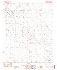
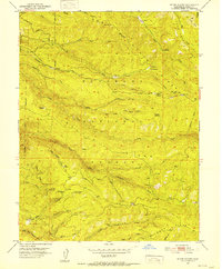
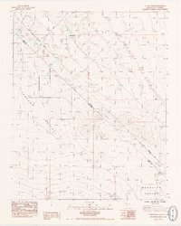
USGS Historical Quadrangle in GeoPDF.
This USGS data release, supporting USGS Scientific Investigations Report 2020-5075, Estimates of Groundwater Discharge by Evapotranspiration, Stump Spring and Hiko Springs, Clark County, Southern Nevada, 2016–18, consists of five datasets - Normalized Difference Vegetation Indexes (NDVI) and a mapped groundwater discharge areas (GDA) for two spring areas, and a two-class land cover classification for Stump Springs and the Area of Critical Environmental Concern (ACEC) adjacent to Stump Springs. The mapped GDAs are the area within each spring’s riparian area where discharge from evaporation by open water or bare soil and transpiration from phreatophytic plants exceeds the volume of water contributed by precipitation....
This USGS data release represents supplemental tabular data for an annual groundwater discharge by evapotranspiration (ET) from areas of spring-fed riparian vegetation, Stump Spring and Hiko Springs, Clark County, Nevada, 2016-18. The raw ET dataset contained multiple data gaps that were simulated and gap-filled with the water-level model utility in SeriesSEE, a USGS developed Microsoft Excel® addin. Continuous time-series data, including net radiation, sensible-heat flux, latent-heat flux, and ground-heat flux, from before and after the data gap(s) were used to simulate turbulent fluxes with multivariate regressions and the gramma transform, used for latent heat gaps after precipitation events. ET data were gap...
Categories: Data;
Types: Map Service,
OGC WFS Layer,
OGC WMS Layer,
OGC WMS Service;
Tags: Clark County,
Hiko Springs,
Stump Spring,
USGS Science Data Catalog (SDC),
Water Resources,
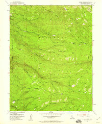
USGS Historical Quadrangle in GeoPDF.
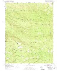
USGS Historical Quadrangle in GeoPDF.
This dataset, created in support of USGS Scientific Investigations Report 2020-5075, Estimates of Groundwater Discharge by Evapotranspiration, Stump Spring and Hiko Springs, Clark County, Nevada, 2016-18, represents the groundwater discharge area (GDA) for the Stump Springs riparian area and Area of Critical Environmental Concern (ACEC). Vegetated areas within the GDA are composed of phreatophytic shrubs interspersed with xeric vegetation and bare soil. The GDA was delineated by visual interpretation of 1-meter National Agriculture Imagery Program (NAIP) aerial imagery acquired in May of 2015. The ACEC boundary was determined by the Bureau of Land Management.
Categories: Data;
Types: Downloadable,
Map Service,
OGC WFS Layer,
OGC WMS Layer,
Shapefile;
Tags: Clark County,
ET,
Nevada,
Stump Spring,
climatologyMeteorologyAtmosphere,
This dataset, created in support of USGS Scientific Investigations Report 2020-5075, Estimates of Groundwater Discharge by Evapotranspiration, Stump Spring and Hiko Springs, Clark County, Nevada, 2016-18, represents a Normalized Difference Vegetation Index calculated for vegetated areas in the Stump Spring groundwater discharge area (GDA) and Area of Critical Environmental Concern (ACEC). Vegetated areas within the GDA are composed of phreatophytic shrubs interspersed with xeric vegetation and bare soil. The GDA was delineated by visual interpretation of 1-meter National Agriculture Imagery Program (NAIP) aerial imagery acquired in May of 2015. The NDVI was calculated from a June 2017 WorldView 2 image resampled...
Categories: Data;
Types: Downloadable,
GeoTIFF,
Map Service,
Raster;
Tags: Clark County,
ET,
Nevada,
Stump Spring,
biota,
This data set contains imagery from the National Agriculture Imagery Program (NAIP). The NAIP program is administered by USDA FSA and has been established to support two main FSA strategic goals centered on agricultural production. These are, increase stewardship of America's natural resources while enhancing the environment, and to ensure commodities are procured and distributed effectively and efficiently to increase food security. The NAIP program supports these goals by acquiring and providing ortho imagery that has been collected during the agricultural growing season in the U.S. The NAIP ortho imagery is tailored to meet FSA requirements and is a fundamental tool used to support FSA farm and conservation programs....
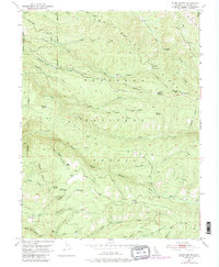
USGS Historical Quadrangle in GeoPDF.
USGS Historical Quadrangle in GeoPDF.
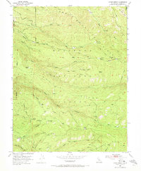
USGS Historical Quadrangle in GeoPDF.
This dataset, created in support of USGS Scientific Investigations Report 2020-5075, Estimates of Groundwater Discharge by Evapotranspiration, Stump Spring and Hiko Springs, Clark County, Nevada, 2016-18, represents a two class land cover classification consisting of moderate to dense vegetation and bare to sparsely vegetated areas within the Groundwater Discharge Area and Area of Critical Environmental Concern boundaries for Stump Spring, Nevada. The classification is based on a 2015 1-meter National Agricultural Imagery Program (NAIP) image and a maximum likelihood classification algorithm provided in ENVI software (https://www.harrisgeospatial.com/docs/Classification.html#ClassSupervised).
Categories: Data;
Types: Downloadable,
GeoTIFF,
Map Service,
Raster;
Tags: Clark County,
ET,
Nevada,
Stump Spring,
biota,
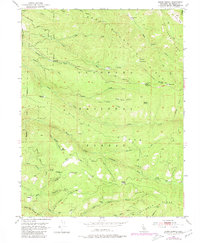
USGS Historical Quadrangle in GeoPDF.
This data set contains imagery from the National Agriculture Imagery Program (NAIP). The NAIP program is administered by USDA FSA and has been established to support two main FSA strategic goals centered on agricultural production. These are, increase stewardship of America's natural resources while enhancing the environment, and to ensure commodities are procured and distributed effectively and efficiently to increase food security. The NAIP program supports these goals by acquiring and providing ortho imagery that has been collected during the agricultural growing season in the U.S. The NAIP ortho imagery is tailored to meet FSA requirements and is a fundamental tool used to support FSA farm and conservation programs....
This data set contains imagery from the National Agriculture Imagery Program (NAIP). The NAIP program is administered by USDA FSA and has been established to support two main FSA strategic goals centered on agricultural production. These are, increase stewardship of America's natural resources while enhancing the environment, and to ensure commodities are procured and distributed effectively and efficiently to increase food security. The NAIP program supports these goals by acquiring and providing ortho imagery that has been collected during the agricultural growing season in the U.S. The NAIP ortho imagery is tailored to meet FSA requirements and is a fundamental tool used to support FSA farm and conservation programs....
USGS Historical Quadrangle in GeoPDF.
|

|
