Filters: Tags: Summitville (X)
17 results (97ms)|
Filters
Date Range
Extensions Types Contacts
Categories Tag Types Tag Schemes |
This data set contains imagery from the National Agriculture Imagery Program (NAIP). The NAIP program is administered by USDA FSA and has been established to support two main FSA strategic goals centered on agricultural production. These are, increase stewardship of America's natural resources while enhancing the environment, and to ensure commodities are procured and distributed effectively and efficiently to increase food security. The NAIP program supports these goals by acquiring and providing ortho imagery that has been collected during the agricultural growing season in the U.S. The NAIP ortho imagery is tailored to meet FSA requirements and is a fundamental tool used to support FSA farm and conservation programs....
This data set contains imagery from the National Agriculture Imagery Program (NAIP). The NAIP program is administered by USDA FSA and has been established to support two main FSA strategic goals centered on agricultural production. These are, increase stewardship of America's natural resources while enhancing the environment, and to ensure commodities are procured and distributed effectively and efficiently to increase food security. The NAIP program supports these goals by acquiring and providing ortho imagery that has been collected during the agricultural growing season in the U.S. The NAIP ortho imagery is tailored to meet FSA requirements and is a fundamental tool used to support FSA farm and conservation programs....
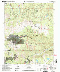
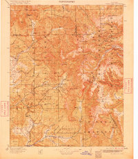
USGS Historical Quadrangle in GeoPDF.
This data set contains imagery from the National Agriculture Imagery Program (NAIP). The NAIP program is administered by USDA FSA and has been established to support two main FSA strategic goals centered on agricultural production. These are, increase stewardship of America's natural resources while enhancing the environment, and to ensure commodities are procured and distributed effectively and efficiently to increase food security. The NAIP program supports these goals by acquiring and providing ortho imagery that has been collected during the agricultural growing season in the U.S. The NAIP ortho imagery is tailored to meet FSA requirements and is a fundamental tool used to support FSA farm and conservation programs....
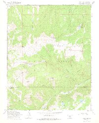
USGS Historical Quadrangle in GeoPDF.
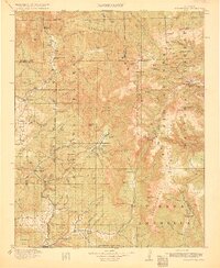
USGS Historical Quadrangle in GeoPDF.
This data set contains imagery from the National Agriculture Imagery Program (NAIP). The NAIP program is administered by USDA FSA and has been established to support two main FSA strategic goals centered on agricultural production. These are, increase stewardship of America's natural resources while enhancing the environment, and to ensure commodities are procured and distributed effectively and efficiently to increase food security. The NAIP program supports these goals by acquiring and providing ortho imagery that has been collected during the agricultural growing season in the U.S. The NAIP ortho imagery is tailored to meet FSA requirements and is a fundamental tool used to support FSA farm and conservation programs....
The Summitville Au?Ag?Cu deposit is a classic volcanic dome-hosted high-sulfidation deposit. It occurs in the Quartz Latite of South Mountain, a composite volcanic dome that was emplaced along the coincident margins of the Platoro and Summitville calderas at 22.5�0.5 Ma, penecontemporaneous with alteration and mineralization. A penecontemporaneous quartz monzonite porphyry intrusion underlies the district and is cut and overlain by pyrite?quartz stockwork veins with traces of chalcopyrite and molybdenite. Alteration and mineralization proceeded through three hypogene stages and a supergene stage, punctuated by at least three periods of hydrothermal brecciation. Intense acid leaching along fractures in the quartz...
Categories: Publication;
Types: Citation,
Journal Citation;
Tags: Chemical Geology,
Colorado,
Summitville,
alunite,
epithermal,

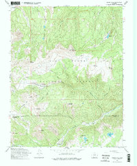
USGS Historical Quadrangle in GeoPDF.
USGS Historical Quadrangle in GeoPDF.

USGS Historical Quadrangle in GeoPDF.
USGS Historical Quadrangle in GeoPDF.
The dataset includes whole-rock geochemistry, phenocryst/mineral trace element compositions, zircon U–Pb geochronology, and zircon in situ Lu–Hf isotopes for intrusions associated with the Oligocene Platoro caldera complex of the San Juan volcanic locus in Colorado features numerous exposed plutons, both within the caldera and outside its margins, enabling investigation of the timing and evolution of postcaldera magmatism. Intrusion and , coupled with new document distinct pulses of magma derived from different depths beneath the caldera complex. Fourteen intrusions, the Chiquito Peak Tuff, and the dacite of Fisher Gulch were dated, showing intrusive magmatism began after the 28.8 Ma-eruption of the Chiquito Peak...
Categories: Data,
Data Release - In Progress;
Tags: Conejos County,
Jasper,
Platoro,
Rio Grande County,
Summitville,
USGS Historical Quadrangle in GeoPDF.
USGS Historical Quadrangle in GeoPDF.
USGS Historical Quadrangle in GeoPDF.
USGS Historical Quadrangle in GeoPDF.
|

|
