Filters: Tags: Surf (X)
10 results (8ms)|
Filters
Date Range
Extensions Types Contacts
Categories Tag Types
|
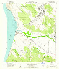
USGS Historical Quadrangle in GeoPDF.
This data set contains imagery from the National Agriculture Imagery Program (NAIP). The NAIP program is administered by USDA FSA and has been established to support two main FSA strategic goals centered on agricultural production. These are, increase stewardship of America's natural resources while enhancing the environment, and to ensure commodities are procured and distributed effectively and efficiently to increase food security. The NAIP program supports these goals by acquiring and providing ortho imagery that has been collected during the agricultural growing season in the U.S. The NAIP ortho imagery is tailored to meet FSA requirements and is a fundamental tool used to support FSA farm and conservation programs....
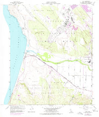
USGS Historical Quadrangle in GeoPDF.
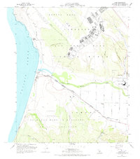
USGS Historical Quadrangle in GeoPDF.
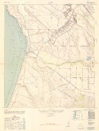
USGS Historical Quadrangle in GeoPDF.

USGS Historical Quadrangle in GeoPDF.
This data set contains imagery from the National Agriculture Imagery Program (NAIP). The NAIP program is administered by USDA FSA and has been established to support two main FSA strategic goals centered on agricultural production. These are, increase stewardship of America's natural resources while enhancing the environment, and to ensure commodities are procured and distributed effectively and efficiently to increase food security. The NAIP program supports these goals by acquiring and providing ortho imagery that has been collected during the agricultural growing season in the U.S. The NAIP ortho imagery is tailored to meet FSA requirements and is a fundamental tool used to support FSA farm and conservation programs....
The purpose of this study was to record nearshore current patterns as witnessed and experienced by ocean users living in the greater Hilo area of Hawai'i Island, Hawai'i. This study relied on ocean-expert knowledge gained from place-based first-hand work and lifestyle experience. The ocean-experts were categorized as fisher, paddler, sailor, surfers, or others. The interviews were collected during 2014-2015, with prototype interviews collected in 2009. During the interview the ocean-expert was asked to select the appropriate map scale for their area of expertise (1:5000, 1:20,000, 1:40,000, or 1:100,000) and to describe and draw the nearshore currents. Sixteen of the interviewees visually documented on hard copy...
A certain amount of wood char or soot in a soil or sediment sample may cause the sorption of organic compounds to deviate significantly from the linear partitioning commonly observed with soil organic matter (SOM). Laboratory produced and field wood chars have been obtained and analyzed for their sorption isotherms of a model solute (phenanthrene) from water solution. The uptake capacities and nonlinear sorption effects with the laboratory wood chars are similar to those with the field wood chars. For phenanthrene aqueous concentrations of 1 μgl−1, the organic carbon-normalized sorption coefficients (log Koc) ranging from 5.0 to 6.4 for field chars and 5.4–7.3 for laboratory wood chars, which is consistent with...
Categories: Publication;
Types: Citation;
Tags: Koc,
Nonlinear isotherms,
Phenanthrene,
Sorption,
Surf

USGS Historical Quadrangle in GeoPDF.
|

|
