Filters: Tags: Surface (X)
28,896 results (82ms)|
Filters
Date Range
Extensions (Less) Types (Less)
Contacts (Less)
Categories (Less) Tag Types
|
The purpose of this study is to evaluate tsunami hazard for the community of Seward and northern Resurrection Bay area, Alaska. This report will provide guidance to local emergency managers in tsunami hazard assessment. We used a numerical modeling method to estimate the extent of inundation by tsunami waves generated from earthquake and landslide sources. Our tsunami scenarios included a repeat of the tsunami of the 1964 Great Alaska Earthquake, as well as tsunami waves generated by two hypothetical Yakataga Gap earthquakes in northeastern Gulf of Alaska, hypothetical earthquakes in Prince William Sound and Kodiak asperities of the 1964 rupture, and local underwater landslides in Resurrection Bay. Results of numerical...
Staff from Alaska Earthquake Center, Geophysical Institute and Alaska Division of Geological & Geophysical Surveys evaluated potential tsunami hazards for the city of Sand Point, on Popof Island in the Shumagin Islands archipelago. We numerically modeled the extent of inundation from tsunami waves generated by local and distant earthquake sources. We considered the results in light of historical observations. The worst-case scenarios are defined by analyzing results of the sensitivity study of the tsunami dynamics with respect to different slip distributions along the Aleutian megathrust. For the Sand Point area, the worst-case scenarios are thought to be thrust earthquakes in the Shumagin Islands region with magnitudes...
This composite shaded relief image dataset depicts generalized bathymetry and topography of the Caribbean region.
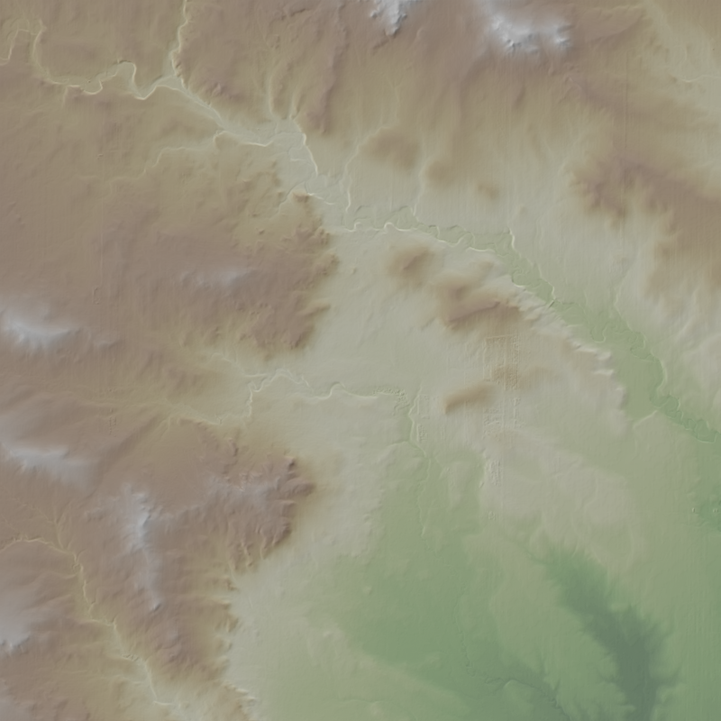
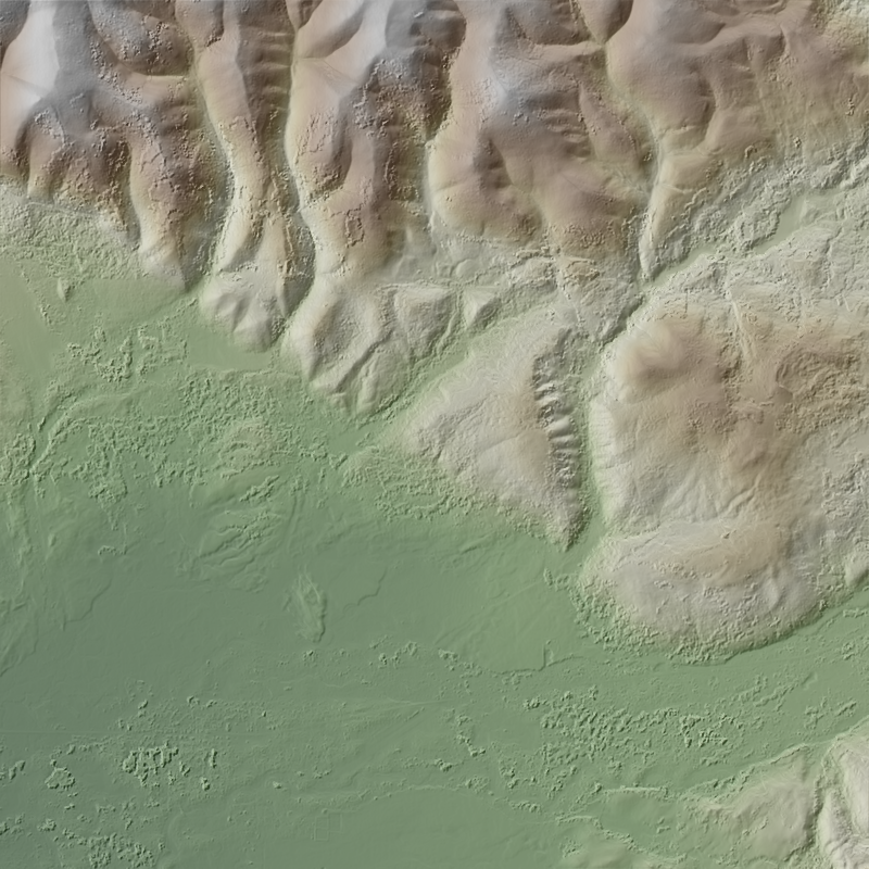
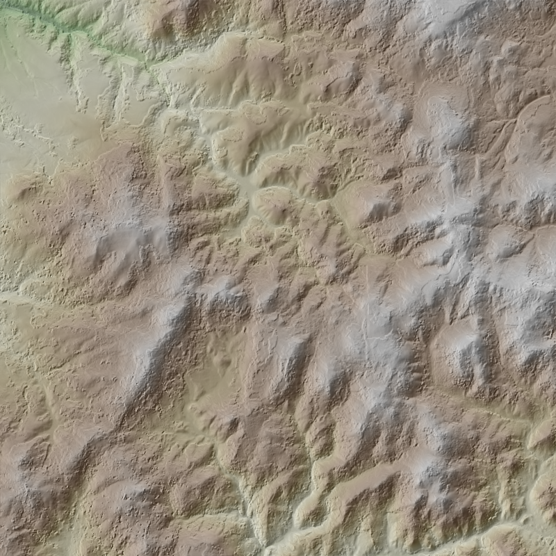
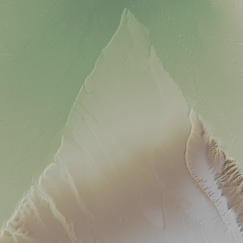
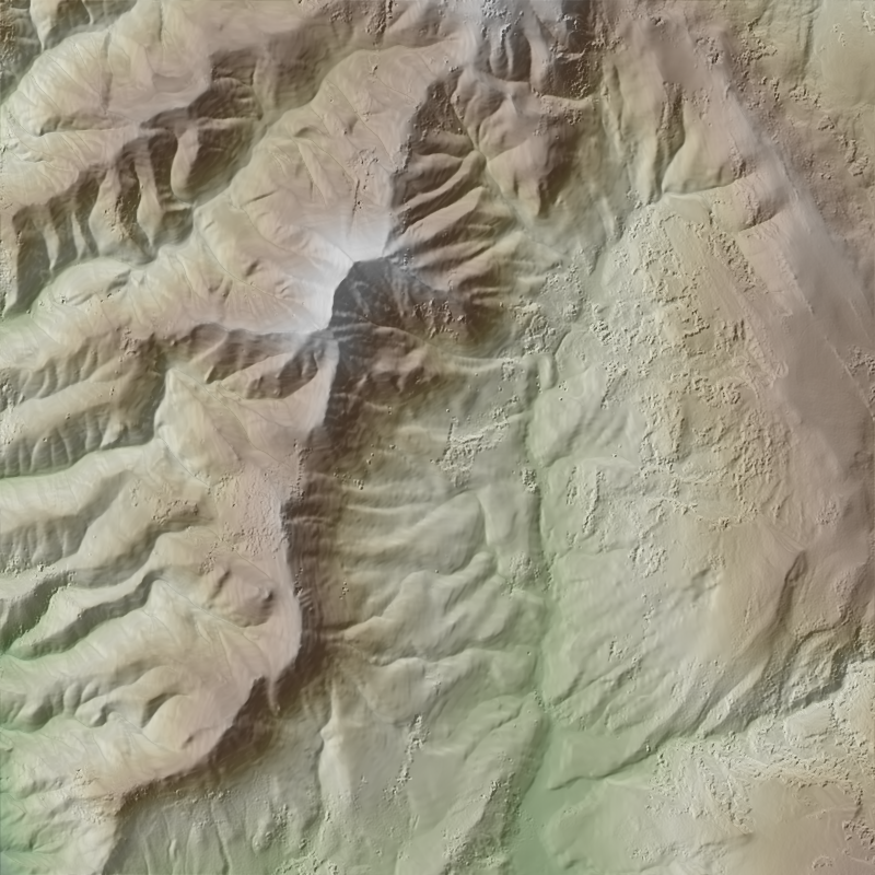
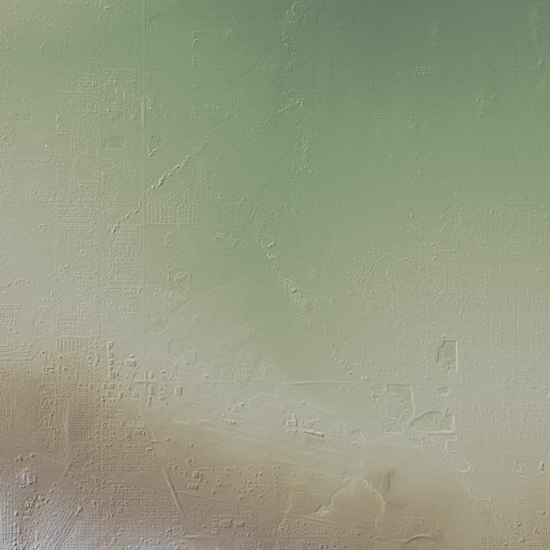
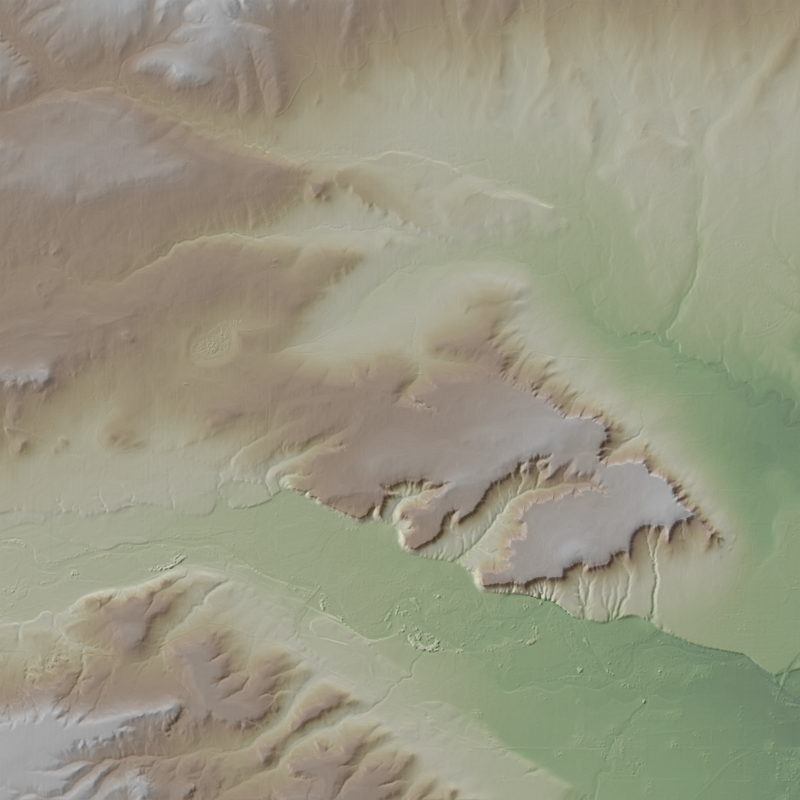
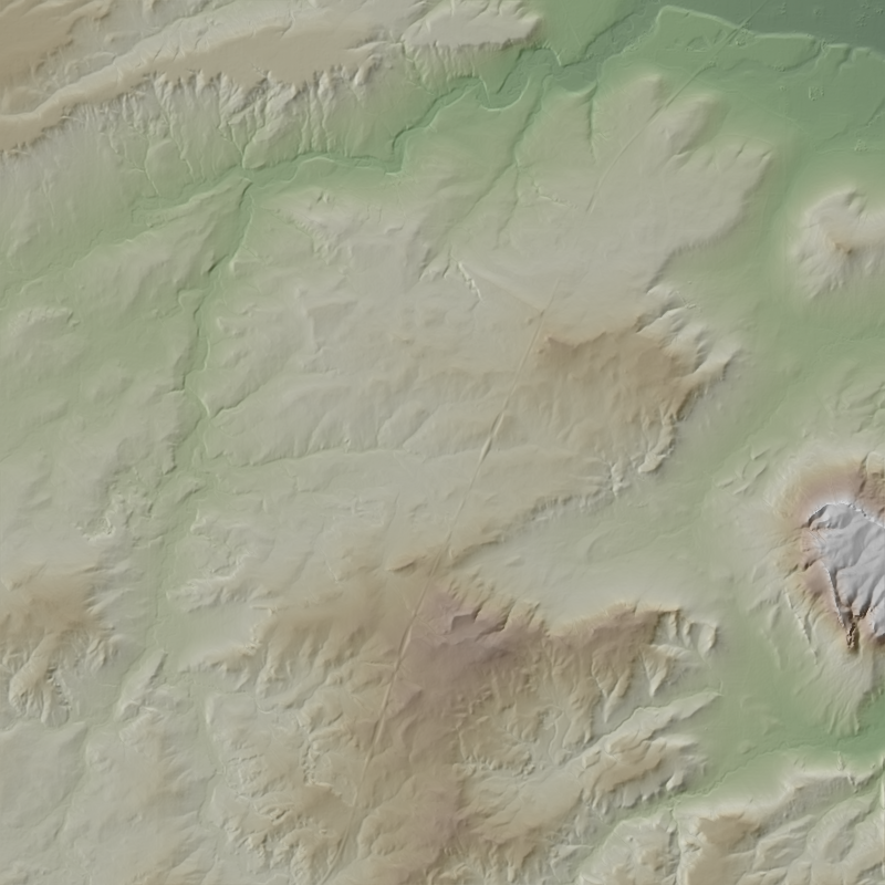
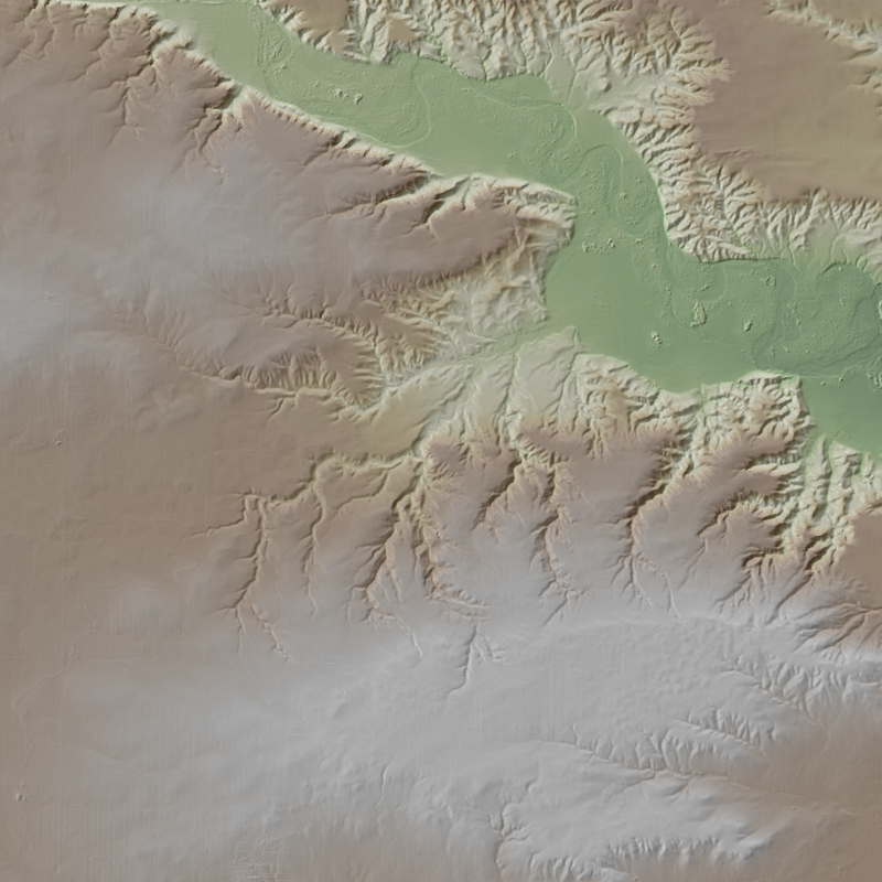
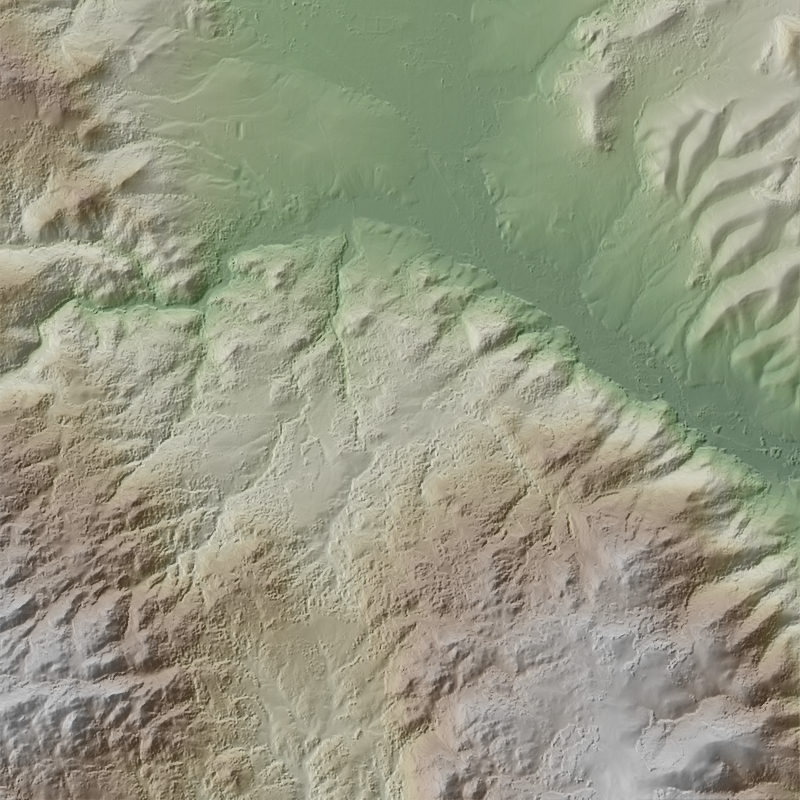
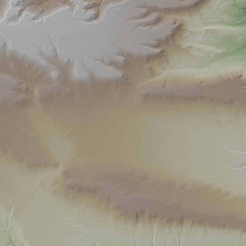
This is a 1-meter resolution digital surface model (DSM) derived from commercial electro-optical satellite imagery. Contributing imaging sensors include WorldView-1, WorldView-2, WorldView-3, and GeoEye-1. A digital surface model (DSM) is a 3D representation of the Earth’s surface height, including any natural or built features located on it, such as the tops of buildings, trees and vegetation. This “top of surface” elevation dataset was produced by the National Geospatial-Intelligence Agency (NGA) with the support of the GeoData Cooperative. The GeoData Cooperative is a Department of Defense mission-driven collaboration between industry, academia, and the U.S. Government to enable access to current, accurate, and...
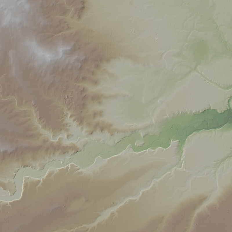
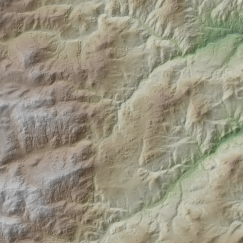
This is a 1-meter resolution digital surface model (DSM) derived from commercial electro-optical satellite imagery. Contributing imaging sensors include WorldView-1, WorldView-2, WorldView-3, and GeoEye-1. A digital surface model (DSM) is a 3D representation of the Earth’s surface height, including any natural or built features located on it, such as the tops of buildings, trees and vegetation. This “top of surface” elevation dataset was produced by the National Geospatial-Intelligence Agency (NGA) with the support of the GeoData Cooperative. The GeoData Cooperative is a Department of Defense mission-driven collaboration between industry, academia, and the U.S. Government to enable access to current, accurate, and...
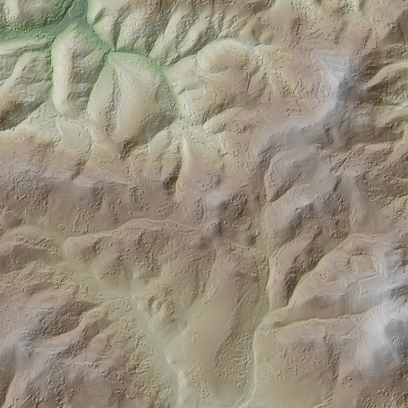
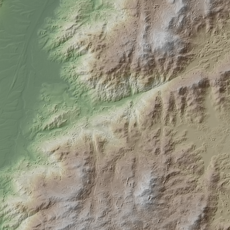
This is a 1-meter resolution digital surface model (DSM) derived from commercial electro-optical satellite imagery. Contributing imaging sensors include WorldView-1, WorldView-2, WorldView-3, and GeoEye-1. A digital surface model (DSM) is a 3D representation of the Earth’s surface height, including any natural or built features located on it, such as the tops of buildings, trees and vegetation. This “top of surface” elevation dataset was produced by the National Geospatial-Intelligence Agency (NGA) with the support of the GeoData Cooperative. The GeoData Cooperative is a Department of Defense mission-driven collaboration between industry, academia, and the U.S. Government to enable access to current, accurate, and...
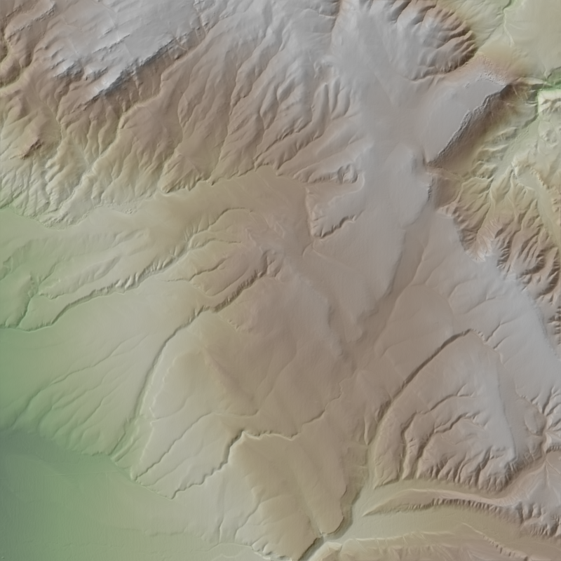
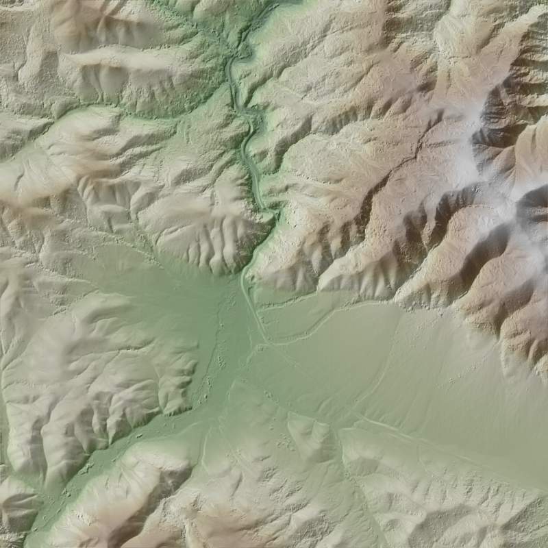
This is a 1-meter resolution digital surface model (DSM) derived from commercial electro-optical satellite imagery. Contributing imaging sensors include WorldView-1, WorldView-2, WorldView-3, and GeoEye-1. A digital surface model (DSM) is a 3D representation of the Earth’s surface height, including any natural or built features located on it, such as the tops of buildings, trees and vegetation. This “top of surface” elevation dataset was produced by the National Geospatial-Intelligence Agency (NGA) with the support of the GeoData Cooperative. The GeoData Cooperative is a Department of Defense mission-driven collaboration between industry, academia, and the U.S. Government to enable access to current, accurate, and...
This is a 1-meter resolution digital surface model (DSM) derived from commercial electro-optical satellite imagery. Contributing imaging sensors include WorldView-1, WorldView-2, WorldView-3, and GeoEye-1. A digital surface model (DSM) is a 3D representation of the Earth’s surface height, including any natural or built features located on it, such as the tops of buildings, trees and vegetation. This “top of surface” elevation dataset was produced by the National Geospatial-Intelligence Agency (NGA) with the support of the GeoData Cooperative. The GeoData Cooperative is a Department of Defense mission-driven collaboration between industry, academia, and the U.S. Government to enable access to current, accurate, and...
This is a 1-meter resolution digital surface model (DSM) derived from commercial electro-optical satellite imagery. Contributing imaging sensors include WorldView-1, WorldView-2, WorldView-3, and GeoEye-1. A digital surface model (DSM) is a 3D representation of the Earth’s surface height, including any natural or built features located on it, such as the tops of buildings, trees and vegetation. This “top of surface” elevation dataset was produced by the National Geospatial-Intelligence Agency (NGA) with the support of the GeoData Cooperative. The GeoData Cooperative is a Department of Defense mission-driven collaboration between industry, academia, and the U.S. Government to enable access to current, accurate, and...
This is a 1-meter resolution digital surface model (DSM) derived from commercial electro-optical satellite imagery. Contributing imaging sensors include WorldView-1, WorldView-2, WorldView-3, and GeoEye-1. A digital surface model (DSM) is a 3D representation of the Earth’s surface height, including any natural or built features located on it, such as the tops of buildings, trees and vegetation. This “top of surface” elevation dataset was produced by the National Geospatial-Intelligence Agency (NGA) with the support of the GeoData Cooperative. The GeoData Cooperative is a Department of Defense mission-driven collaboration between industry, academia, and the U.S. Government to enable access to current, accurate, and...
This is a 1-meter resolution digital surface model (DSM) derived from commercial electro-optical satellite imagery. Contributing imaging sensors include WorldView-1, WorldView-2, WorldView-3, and GeoEye-1. A digital surface model (DSM) is a 3D representation of the Earth’s surface height, including any natural or built features located on it, such as the tops of buildings, trees and vegetation. This “top of surface” elevation dataset was produced by the National Geospatial-Intelligence Agency (NGA) with the support of the GeoData Cooperative. The GeoData Cooperative is a Department of Defense mission-driven collaboration between industry, academia, and the U.S. Government to enable access to current, accurate, and...
This is a 1-meter resolution digital surface model (DSM) derived from commercial electro-optical satellite imagery. Contributing imaging sensors include WorldView-1, WorldView-2, WorldView-3, and GeoEye-1. A digital surface model (DSM) is a 3D representation of the Earth’s surface height, including any natural or built features located on it, such as the tops of buildings, trees and vegetation. This “top of surface” elevation dataset was produced by the National Geospatial-Intelligence Agency (NGA) with the support of the GeoData Cooperative. The GeoData Cooperative is a Department of Defense mission-driven collaboration between industry, academia, and the U.S. Government to enable access to current, accurate, and...
This is a 1-meter resolution digital surface model (DSM) derived from commercial electro-optical satellite imagery. Contributing imaging sensors include WorldView-1, WorldView-2, WorldView-3, and GeoEye-1. A digital surface model (DSM) is a 3D representation of the Earth’s surface height, including any natural or built features located on it, such as the tops of buildings, trees and vegetation. This “top of surface” elevation dataset was produced by the National Geospatial-Intelligence Agency (NGA) with the support of the GeoData Cooperative. The GeoData Cooperative is a Department of Defense mission-driven collaboration between industry, academia, and the U.S. Government to enable access to current, accurate, and...
This is a 1-meter resolution digital surface model (DSM) derived from commercial electro-optical satellite imagery. Contributing imaging sensors include WorldView-1, WorldView-2, WorldView-3, and GeoEye-1. A digital surface model (DSM) is a 3D representation of the Earth’s surface height, including any natural or built features located on it, such as the tops of buildings, trees and vegetation. This “top of surface” elevation dataset was produced by the National Geospatial-Intelligence Agency (NGA) with the support of the GeoData Cooperative. The GeoData Cooperative is a Department of Defense mission-driven collaboration between industry, academia, and the U.S. Government to enable access to current, accurate, and...
This is a 1-meter resolution digital surface model (DSM) derived from commercial electro-optical satellite imagery. Contributing imaging sensors include WorldView-1, WorldView-2, WorldView-3, and GeoEye-1. A digital surface model (DSM) is a 3D representation of the Earth’s surface height, including any natural or built features located on it, such as the tops of buildings, trees and vegetation. This “top of surface” elevation dataset was produced by the National Geospatial-Intelligence Agency (NGA) with the support of the GeoData Cooperative. The GeoData Cooperative is a Department of Defense mission-driven collaboration between industry, academia, and the U.S. Government to enable access to current, accurate, and...
This is a 1-meter resolution digital surface model (DSM) derived from commercial electro-optical satellite imagery. Contributing imaging sensors include WorldView-1, WorldView-2, WorldView-3, and GeoEye-1. A digital surface model (DSM) is a 3D representation of the Earth’s surface height, including any natural or built features located on it, such as the tops of buildings, trees and vegetation. This “top of surface” elevation dataset was produced by the National Geospatial-Intelligence Agency (NGA) with the support of the GeoData Cooperative. The GeoData Cooperative is a Department of Defense mission-driven collaboration between industry, academia, and the U.S. Government to enable access to current, accurate, and...
This is a 1-meter resolution digital surface model (DSM) derived from commercial electro-optical satellite imagery. Contributing imaging sensors include WorldView-1, WorldView-2, WorldView-3, and GeoEye-1. A digital surface model (DSM) is a 3D representation of the Earth’s surface height, including any natural or built features located on it, such as the tops of buildings, trees and vegetation. This “top of surface” elevation dataset was produced by the National Geospatial-Intelligence Agency (NGA) with the support of the GeoData Cooperative. The GeoData Cooperative is a Department of Defense mission-driven collaboration between industry, academia, and the U.S. Government to enable access to current, accurate, and...
This is a 1-meter resolution digital surface model (DSM) derived from commercial electro-optical satellite imagery. Contributing imaging sensors include WorldView-1, WorldView-2, WorldView-3, and GeoEye-1. A digital surface model (DSM) is a 3D representation of the Earth’s surface height, including any natural or built features located on it, such as the tops of buildings, trees and vegetation. This “top of surface” elevation dataset was produced by the National Geospatial-Intelligence Agency (NGA) with the support of the GeoData Cooperative. The GeoData Cooperative is a Department of Defense mission-driven collaboration between industry, academia, and the U.S. Government to enable access to current, accurate, and...
This is a 1-meter resolution digital surface model (DSM) derived from commercial electro-optical satellite imagery. Contributing imaging sensors include WorldView-1, WorldView-2, WorldView-3, and GeoEye-1. A digital surface model (DSM) is a 3D representation of the Earth’s surface height, including any natural or built features located on it, such as the tops of buildings, trees and vegetation. This “top of surface” elevation dataset was produced by the National Geospatial-Intelligence Agency (NGA) with the support of the GeoData Cooperative. The GeoData Cooperative is a Department of Defense mission-driven collaboration between industry, academia, and the U.S. Government to enable access to current, accurate, and...
This is a 1-meter resolution digital surface model (DSM) derived from commercial electro-optical satellite imagery. Contributing imaging sensors include WorldView-1, WorldView-2, WorldView-3, and GeoEye-1. A digital surface model (DSM) is a 3D representation of the Earth’s surface height, including any natural or built features located on it, such as the tops of buildings, trees and vegetation. This “top of surface” elevation dataset was produced by the National Geospatial-Intelligence Agency (NGA) with the support of the GeoData Cooperative. The GeoData Cooperative is a Department of Defense mission-driven collaboration between industry, academia, and the U.S. Government to enable access to current, accurate, and...
|

|
