Filters: Tags: Swisher County (X) > Date Range: {"choice":"year"} (X)
5 results (7ms)|
Filters
Date Types (for Date Range)
Categories Tag Types Tag Schemes |

The High Resolution National Hydrography Dataset Plus (NHDPlus HR) is an integrated set of geospatial data layers, including the best available National Hydrography Dataset (NHD), the 10-meter 3D Elevation Program Digital Elevation Model (3DEP DEM), and the National Watershed Boundary Dataset (WBD). The NHDPlus HR combines the NHD, 3DEP DEMs, and WBD to create a stream network with linear referencing, feature naming, "value added attributes" (VAAs), elevation-derived catchments, and other features for hydrologic data analysis. The stream network with linear referencing is a system of data relationships applied to hydrographic systems so that one stream reach "flows" into another and "events" can be tied to and traced...

The High Resolution National Hydrography Dataset Plus (NHDPlus HR) is an integrated set of geospatial data layers, including the best available National Hydrography Dataset (NHD), the 10-meter 3D Elevation Program Digital Elevation Model (3DEP DEM), and the National Watershed Boundary Dataset (WBD). The NHDPlus HR combines the NHD, 3DEP DEMs, and WBD to create a stream network with linear referencing, feature naming, "value added attributes" (VAAs), elevation-derived catchments, and other features for hydrologic data analysis. The stream network with linear referencing is a system of data relationships applied to hydrographic systems so that one stream reach "flows" into another and "events" can be tied to and traced...
The North East 2nd Street Superfund site in Happy, Texas, overlies a groundwater plume of primarily carbon tetrachloride (CT) that is contained within an upper transmissive zone (EA Engineering, Science, and Technology, Inc., 2019) of the Ogallala aquifer. The Ogallala aquifer is contained at the site in Tertiary-age sediments of the Ogallala Formation, which are described by Nordstrom and Fallin (1989, p.10) as "tan, yellow, and reddish-brown, silty to coarse-grained sand mixed or alternating with yellow to red silty clay and variable sized gravel." The plume originated from the application of fire-retardant chemicals to the ground surface during the extinguishing of a fire at a grain storage elevator in 1962....
Categories: Data;
Tags: EPA,
Happy,
Hydrology,
North East 2nd Street Superfund Site,
Ogallala aquifer,
Water level, water temperature, and specific conductance data were collected during natural gradient tests on six observation wells screened in the upper transmissive zone of the Ogallala aquifer at the North East 2nd Street Superfund site in Happy, Texas, from November 6-13, 2023. Tests involved gravity draining 100-160 gallons of a low-concentration salt-spiked solution with an associated specific conductance of less than 8,000 microsiemens per centimeter (µs/cm) into the wells, measuring water level responses, and recording continuous downhole water temperature and water conductivity (specific conductance). Gravity drainage of the salt-spiked solution into each well took approximately 1 hour at average rates...
Categories: Data;
Tags: Happy,
Hydrology,
Natural gradient test,
North East 2nd Street Superfund Site,
Randall County,
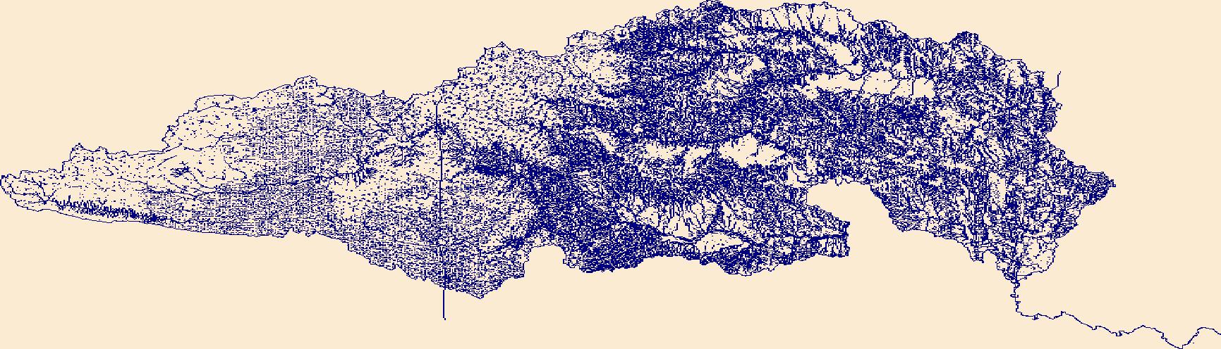
The High Resolution National Hydrography Dataset Plus (NHDPlus HR) is an integrated set of geospatial data layers, including the best available National Hydrography Dataset (NHD), the 10-meter 3D Elevation Program Digital Elevation Model (3DEP DEM), and the National Watershed Boundary Dataset (WBD). The NHDPlus HR combines the NHD, 3DEP DEMs, and WBD to create a stream network with linear referencing, feature naming, "value added attributes" (VAAs), elevation-derived catchments, and other features for hydrologic data analysis. The stream network with linear referencing is a system of data relationships applied to hydrographic systems so that one stream reach "flows" into another and "events" can be tied to and traced...
|

|
