Filters: Tags: TIFF (X)
1,195 results (112ms)|
Filters
Date Range
Extensions Types Contacts
Categories Tag Types
|
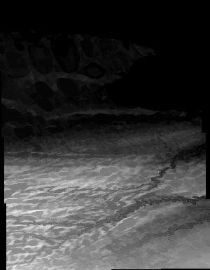
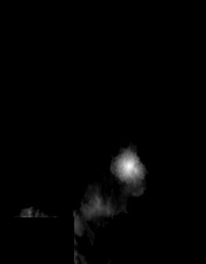
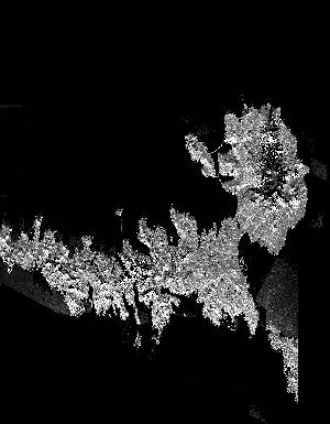
These data are Digital Surface Models (DSM) derived from interferometric synthetic aperture radar (ifsar) data. A DSM is a 3 dimensional representation of surface elevations in an area, including elevations of man-made structures and vegetation. The USGS performs minimal quality assurance and no reprocessing of the DSM data. USGS distributes the DSM data as received from the contractors, partners or contributing entities.

Aerial Photograph, AL_AP200054, of Montgomery Co. is part of the New Jersey Zinc Company Historic Collection ; topic area is 'Aerial Photograph'. The location is Montgomery Co. (estimated). The image was scanned from a paper file as part of the USGS NGGDPP deliverable for 2018-2019. The author is United States Department of Agriculture. The scale is 1''=2000'. The paper file was dated 19621022. Physical Storage: Room 3, Austinville Limestone Company, Newtown Church Rd, Austinville, VA 24312, Room No: 3. Digital Storage: \\NG00222222\ARCHIVE\Collections\NewJerseyZinc\AERIALPHOTOS\AL_AP200054.TIF Additional Information: None

Aerial Photograph, AL_AP200071, of Wythe Co. is part of the New Jersey Zinc Company Historic Collection ; topic area is 'Aerial Photograph'. The location is Wythe Co. (estimated). The image was scanned from a paper file as part of the USGS NGGDPP deliverable for 2018-2019. The author is United States Department of Agriculture. The scale is 1''=660'. The paper file was dated 19740101. Physical Storage: Room 3, Austinville Limestone Company, Newtown Church Rd, Austinville, VA 24312, Room No: 3. Digital Storage: \\NG00222222\ARCHIVE\Collections\NewJerseyZinc\AERIALPHOTOS\AL_AP200071.TIF Additional Information: None

Aerial Photograph, AL_AP200230, of Wythe Co. is part of the New Jersey Zinc Company Historic Collection ; topic area is 'Aerial Photograph'. The location is Wythe Co. (estimated). The image was scanned from a paper file as part of the USGS NGGDPP deliverable for 2018-2019. The author is United States Department of Agriculture. The scale is . The paper file was dated 19531003. Physical Storage: Room 3, Austinville Limestone Company, Newtown Church Rd, Austinville, VA 24312, Room No: 3. Digital Storage: \\NG00222222\ARCHIVE\Collections\NewJerseyZinc\AERIALPHOTOS\AL_AP200230.TIF Additional Information: None

Aerial Photograph, AL_AP200001, of Wythe Co. is part of the New Jersey Zinc Company Historic Collection ; topic area is 'Aerial Photograph'. The location is Wythe Co. (estimated). The image was scanned from a paper file as part of the USGS NGGDPP deliverable for 2018-2019. The author is United States Department of Agriculture. The scale is 1''= 660'. The paper file was dated 19740101. Physical Storage: Room 3, Austinville Limestone Company, Newtown Church Rd, Austinville, VA 24312, Room No: 3. Digital Storage: \\NG00222222\ARCHIVE\Collections\NewJerseyZinc\AERIALPHOTOS\AL_AP200001.TIF Additional Information: None

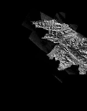
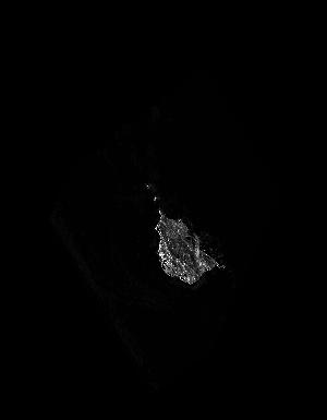
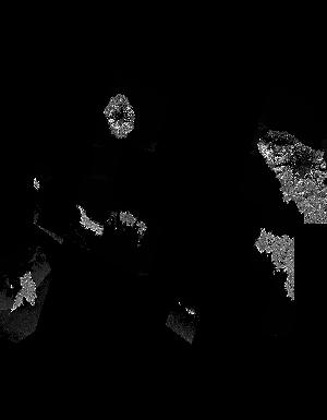
These data are orthorectified radar intensity images (ORI) derived from interferometric synthetic aperture radar (ifsar) data. An ORI is a high-resolution image derived from ifsar which has geometric distortions removed. Unlike optical imagery, ifsar can be collected in cloudy conditions. The USGS performs minimal quality assurance and no reprocessing of the ORI data. USGS distributes the ORI data as received from the contractors, partners or contributing entities.
Low-altitude (70 m above ground level) aerial images were collected over five areas of interest within the northern portion of Assateague Island National Seashore (ASIS) in mid-October, 2022. These images were collected to generate photogrammetric products (e.g. digital surface model (DSM), reflectance orthomosaic) to support science and data needs of National Park managers attempting to locate invasive Phragmites australis expansion. A DJI Matrice 600 uncrewed aircraft system (UAS) was equipped with a MicaSense Altum-PT multispectral camera and a Ricoh GRII true-color RGB camera to collect images simultaneously with sufficient overlap for photogrammetric processing. Ground control points (GCPs), black and white...
These data are orthorectified radar intensity images (ORI) derived from interferometric synthetic aperture radar (ifsar) data. An ORI is a high-resolution image derived from ifsar which has geometric distortions removed. Unlike optical imagery, ifsar can be collected in cloudy conditions. The USGS performs minimal quality assurance and no reprocessing of the ORI data. USGS distributes the ORI data as received from the contractors, partners or contributing entities.
These data are Digital Surface Models (DSM) derived from interferometric synthetic aperture radar (ifsar) data. A DSM is a 3 dimensional representation of surface elevations in an area, including elevations of man-made structures and vegetation. The USGS performs minimal quality assurance and no reprocessing of the DSM data. USGS distributes the DSM data as received from the contractors, partners or contributing entities.
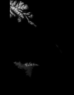
These data are orthorectified radar intensity images (ORI) derived from interferometric synthetic aperture radar (ifsar) data. An ORI is a high-resolution image derived from ifsar which has geometric distortions removed. Unlike optical imagery, ifsar can be collected in cloudy conditions. The USGS performs minimal quality assurance and no reprocessing of the ORI data. USGS distributes the ORI data as received from the contractors, partners or contributing entities.
These data are orthorectified radar intensity images (ORI) derived from interferometric synthetic aperture radar (ifsar) data. An ORI is a high-resolution image derived from ifsar which has geometric distortions removed. Unlike optical imagery, ifsar can be collected in cloudy conditions. The USGS performs minimal quality assurance and no reprocessing of the ORI data. USGS distributes the ORI data as received from the contractors, partners or contributing entities.
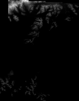
These data are orthorectified radar intensity images (ORI) derived from interferometric synthetic aperture radar (ifsar) data. An ORI is a high-resolution image derived from ifsar which has geometric distortions removed. Unlike optical imagery, ifsar can be collected in cloudy conditions. The USGS performs minimal quality assurance and no reprocessing of the ORI data. USGS distributes the ORI data as received from the contractors, partners or contributing entities.
Low-altitude (80 and 100 meters above ground level) digital images were taken over an area of the Plum Island Estuary and Parker River National Wildlife Refuge (NWR) in Massachusetts using 3DR Solo uncrewed aircraft systems (UAS) on November 14, 2017 and March 28, 2019. These images were collected as part of an effort to document marsh stability over time and quantify sediment movement using UAS technology. Each UAS was equipped with either a Ricoh GR II digital camera for true color photos, which can be used to produce digital elevation models and ortho images, or a MicaSense RedEdge multispectral camera for five-banded imagery (blue, green, red, red edge, and near-infrared spectral bands), which can be used to...
Categories: Data;
Tags: 3DR Solo Quadcopter,
CMHRP,
Coastal and Marine Hazards and Resources Program,
Massachusetts,
MicaSense RedEdge,
These data are Digital Surface Models (DSM) derived from interferometric synthetic aperture radar (ifsar) data. A DSM is a 3 dimensional representation of surface elevations in an area, including elevations of man-made structures and vegetation. The USGS performs minimal quality assurance and no reprocessing of the DSM data. USGS distributes the DSM data as received from the contractors, partners or contributing entities.

These data are Digital Surface Models (DSM) derived from interferometric synthetic aperture radar (ifsar) data. A DSM is a 3 dimensional representation of surface elevations in an area, including elevations of man-made structures and vegetation. The USGS performs minimal quality assurance and no reprocessing of the DSM data. USGS distributes the DSM data as received from the contractors, partners or contributing entities.

These data are orthorectified radar intensity images (ORI) derived from interferometric synthetic aperture radar (ifsar) data. An ORI is a high-resolution image derived from ifsar which has geometric distortions removed. Unlike optical imagery, ifsar can be collected in cloudy conditions. The USGS performs minimal quality assurance and no reprocessing of the ORI data. USGS distributes the ORI data as received from the contractors, partners or contributing entities.
These data are Digital Surface Models (DSM) derived from interferometric synthetic aperture radar (ifsar) data. A DSM is a 3 dimensional representation of surface elevations in an area, including elevations of man-made structures and vegetation. The USGS performs minimal quality assurance and no reprocessing of the DSM data. USGS distributes the DSM data as received from the contractors, partners or contributing entities.
These data are Digital Surface Models (DSM) derived from interferometric synthetic aperture radar (ifsar) data. A DSM is a 3 dimensional representation of surface elevations in an area, including elevations of man-made structures and vegetation. The USGS performs minimal quality assurance and no reprocessing of the DSM data. USGS distributes the DSM data as received from the contractors, partners or contributing entities.
These data are Digital Surface Models (DSM) derived from interferometric synthetic aperture radar (ifsar) data. A DSM is a 3 dimensional representation of surface elevations in an area, including elevations of man-made structures and vegetation. The USGS performs minimal quality assurance and no reprocessing of the DSM data. USGS distributes the DSM data as received from the contractors, partners or contributing entities.
These data are Digital Surface Models (DSM) derived from interferometric synthetic aperture radar (ifsar) data. A DSM is a 3 dimensional representation of surface elevations in an area, including elevations of man-made structures and vegetation. The USGS performs minimal quality assurance and no reprocessing of the DSM data. USGS distributes the DSM data as received from the contractors, partners or contributing entities.
|

|
