Filters: Tags: TUNGSTEN (X) > partyWithName: U.S. Geological Survey (X)
13 results (26ms)|
Filters
Date Range
Extensions Types
Contacts
Categories Tag Types
|
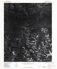
USGS Historical Quadrangle in GeoPDF.
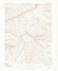
USGS Historical Quadrangle in GeoPDF.
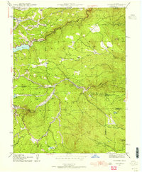
USGS Historical Quadrangle in GeoPDF.
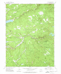
USGS Historical Quadrangle in GeoPDF.
USGS Historical Quadrangle in GeoPDF.
USGS Historical Quadrangle in GeoPDF.
USGS Historical Quadrangle in GeoPDF.
USGS Historical Quadrangle in GeoPDF.
USGS Historical Quadrangle in GeoPDF.
USGS Historical Quadrangle in GeoPDF.
This collection consists of legacy geological maps created and collected by Warren Hobbs during his tungsten assessments during his career with the USGS. These maps are from locations across the western United States. These maps were gathered for the purpose of conducting a national tungsten assessment.
Categories: Data;
Types: Map Service,
OGC WFS Layer,
OGC WMS Layer,
OGC WMS Service;
Tags: Data,
Geological Collection,
Warren Hobbs,
Warren Hobbs,
Western United States,
The Alaska Geochemical Database Version 3.0 (AGDB3) contains new geochemical data compilations in which each geologic material sample has one best value determination for each analyzed species, greatly improving speed and efficiency of use. Like the Alaska Geochemical Database Version 2.0 before it, the AGDB3 was created and designed to compile and integrate geochemical data from Alaska to facilitate geologic mapping, petrologic studies, mineral resource assessments, definition of geochemical baseline values and statistics, element concentrations and associations, environmental impact assessments, and studies in public health associated with geology. This relational database, created from databases and published...
Categories: Data,
Data Release - Revised;
Types: Downloadable,
Map Service,
OGC WFS Layer,
OGC WMS Layer,
Shapefile;
Tags: AGDB,
AMRAP,
Alaska Geochemical Database,
Alaska Mineral Resource Assessment Program,
Alaska Range,
USGS Historical Quadrangle in GeoPDF.
|

|
